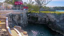
Negril - Rick's Cafe
Westmoreland, Jamaica — 2.7 km
Negril - CocoLaPalm Live
🇯🇲 Cornwall · Jamaica — Altitude 4 m
This live stream shows the CocoLaPalm area in Negril, on the western tip of Jamaica. It is a useful way to get a sense of the sky, sea and beach conditions before you plan a day on the coast. The page also gives you local time and the weather outlook alongside the picture.
Negril sits at the western end of Jamaica, where the island's limestone coast meets the Caribbean Sea. It is best known for its long sandy beaches, the cliffs at the western end of the shore and a relaxed, resort-oriented atmosphere. The town grew around tourism but still keeps a laid-back character, with small guesthouses, beach bars and local markets. The surrounding landscape is low and green, shaped by the trade winds and warm tropical sun.
The camera is pointed at a palm-lined stretch of coast associated with the CocoLaPalm name, so the view is most likely to focus on the beach, the water and the sky above it. Mornings often bring calmer water and clearer light, while afternoons can build clouds and sudden showers, which change the mood of the scene quickly. Depending on the view, you may see sunbathers, swimmers or boats close to shore. The picture belongs to its owner, and conditions can change without notice.
Negril has a tropical climate with warm temperatures through the year. The drier months from December to April are generally the most popular for visitors, while the wetter period brings heavier rain, mostly in short bursts. Negril is reached mainly by road from Montego Bay, the nearest large airport, and by taxi or shared minibus within the area. Nearby cameras in the region, including the one in Negril itself a few kilometres away, offer other viewpoints along the coast.
Source: myearthcam.com
Westmoreland, Jamaica — 2.7 km
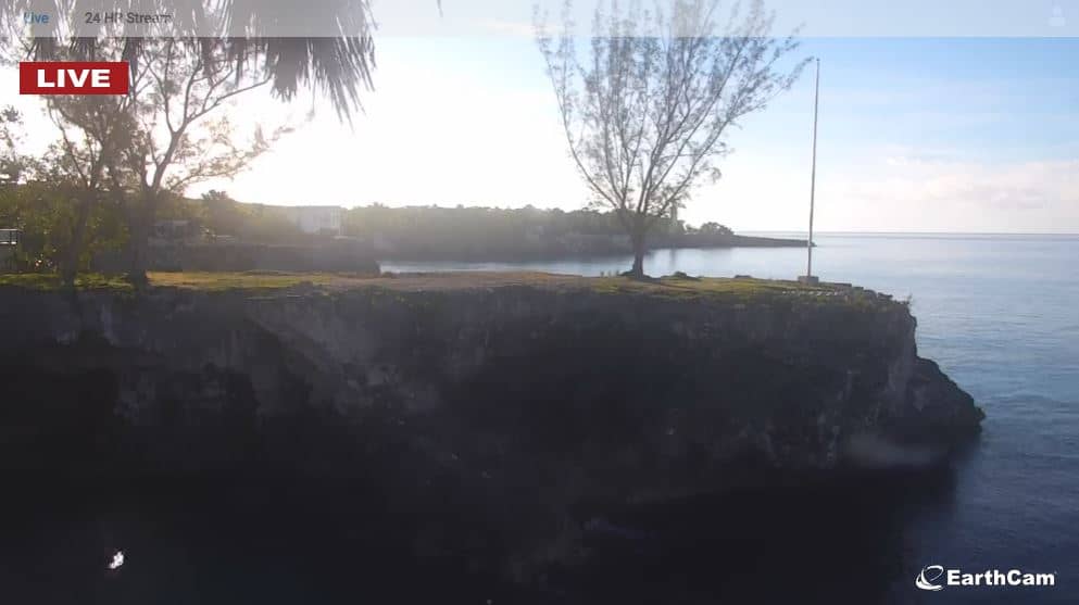
Cornwall, Jamaica — 3.1 km
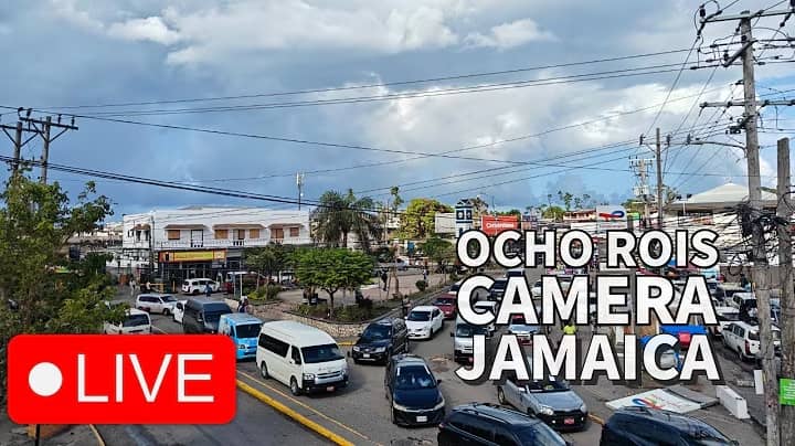
Saint Ann, Jamaica — 132 km

Saint Andrew, Jamaica — 167 km

Saint Andrew, Jamaica — 167 km
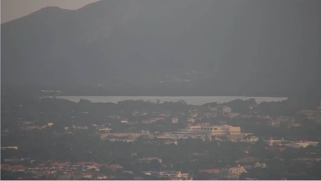
Kingston, Jamaica — 169 km
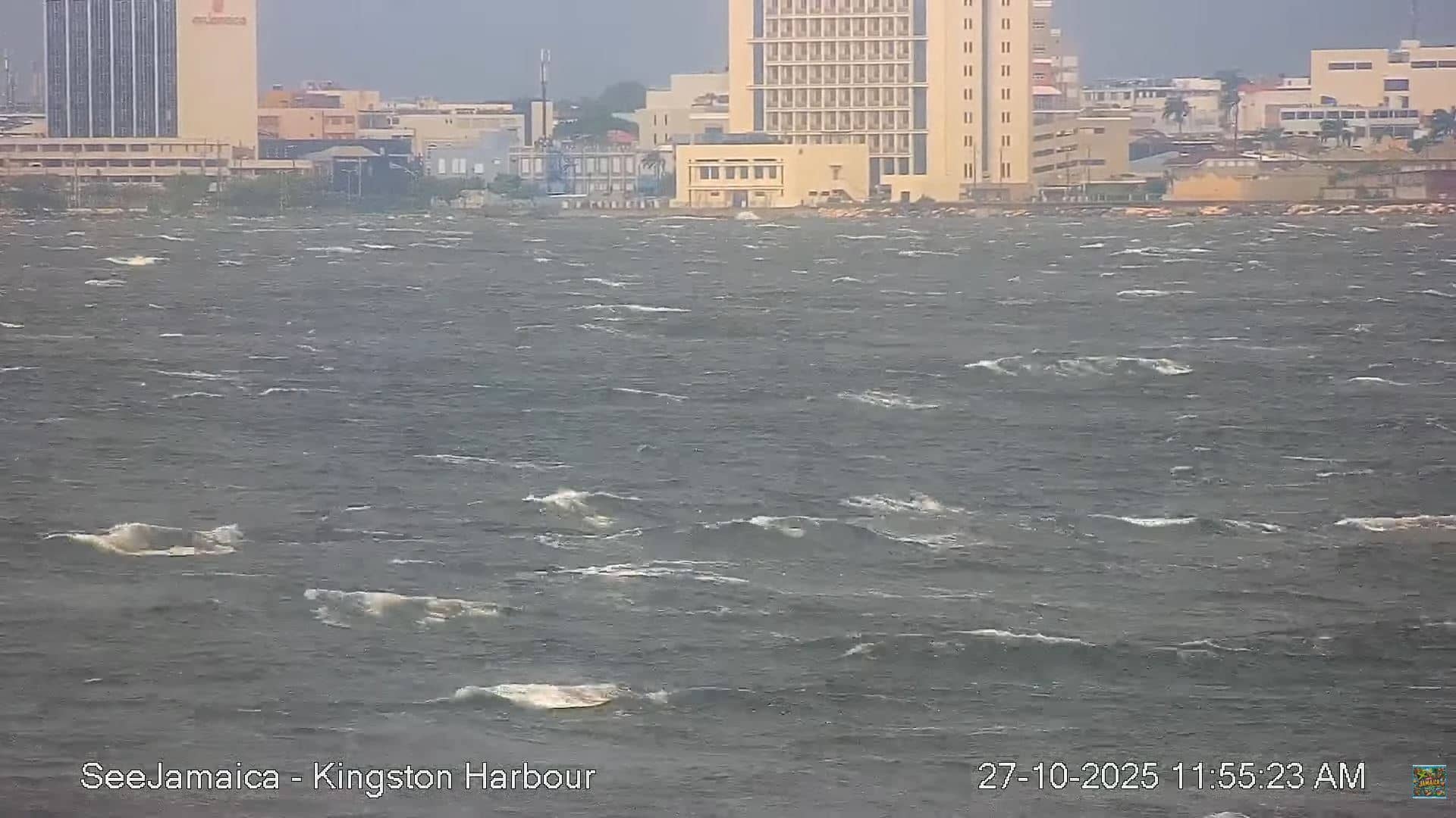
Surrey, Jamaica — 171 km
Grand Cayman, Cayman Islands — 312 km
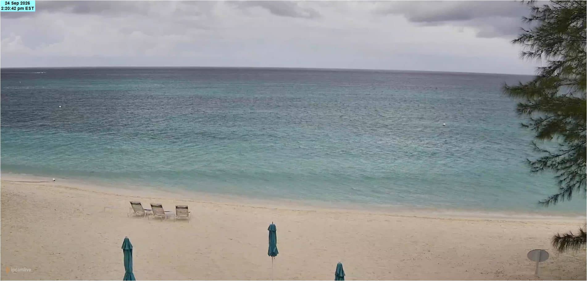
Grand Cayman, Cayman Islands — 340 km
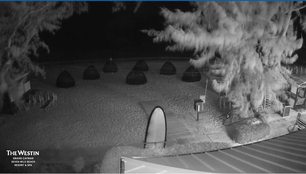
Cayman Islands — 340 km
The current conditions and a three-day forecast are shown in the weather block on this page. They update with the latest data for Negril, so you can check them alongside the live picture.
The local time for Negril is shown on this page and follows the island's time zone. Use it to judge whether the beach is in daylight and how busy it is likely to be.
The camera is located in Negril on the western coast of Jamaica, at about 18.28 north and 78.35 west. The map on this page shows its position relative to the town and the coastline.
Late morning and afternoon are usually the most lively, with the sun high and beach activity at its peak. Clear days give the best visibility of the water and horizon.
Partner links: we may earn a commission at no extra cost to you.