Yokosuka
Kanagawa, Japan — 9.3 km
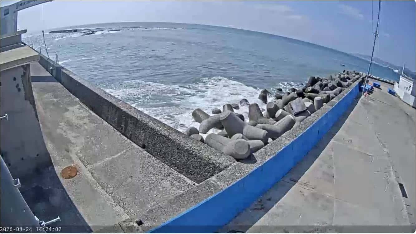
Yokosuka - Nagai Fishing Port - Main Port
🇯🇵 Kanagawa · Japan — Altitude 5 m
This camera looks over the main harbour of Nagai, a working fishing port on the Miura Peninsula south of Tokyo. It suits anyone curious about daily life at a Japanese fishing harbour, or planning a visit to the bay area. The live stream is provided by the City of Yokosuka.
Yokosuka sits at the mouth of Tokyo Bay, on the Miura Peninsula in Kanagawa Prefecture. It is best known for its naval history and the US Navy base, and for the hills and coastline that surround the city. Nagai is one of the fishing ports that keep the local seafood trade running, and its harbour reflects the everyday rhythm of the bay rather than tourism.
The title names the main port, so the view is most likely of the harbour basin and the boats moored there. Fishing vessels tend to leave early in the morning and return during the day, so activity is usually strongest at dawn and in the late morning. Weather changes quickly over the bay, so the live conditions shown on this page are worth checking before you watch.
Yokosuka has a mild climate with hot, humid summers and cool, mostly dry winters, and typhoon season in late summer can bring strong winds and rain. Trains from Yokosuka-Chuo station connect to Tokyo in about an hour. Nearby cameras on VizCams include Zushi, Enoshima Yacht Harbor and Eno-Shima, which show other parts of the same coastline.
Source: Ville de Yokosuka
Kanagawa, Japan — 9.3 km
Kanagawa, Japan — 11 km
Kanagawa, Japan — 15 km
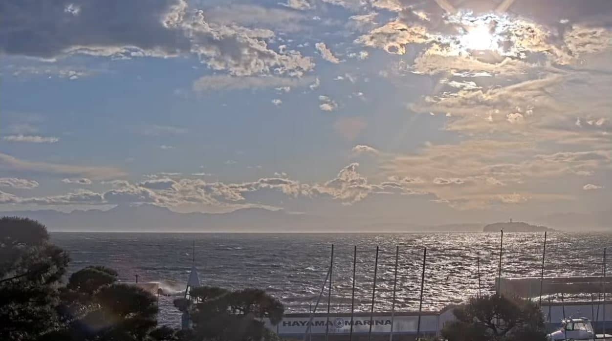
Kanagawa, Japan — 16 km

Chiba, Japan — 25 km
Kanagawa, Japan — 31 km
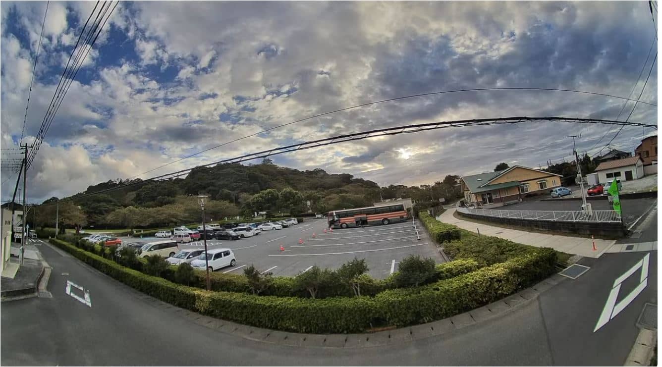
Chiba, Japan — 33 km
Kanagawa, Japan — 37 km
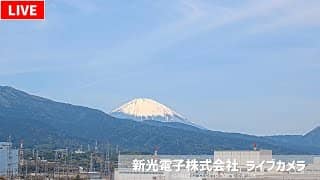
Kanagawa, Japan — 42 km
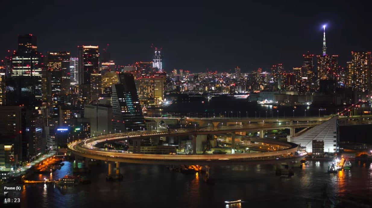
Tokyo, Japan — 49 km
The current conditions and a three-day forecast for Yokosuka are shown in the weather block on this page, and they update with the page.
The local time for Yokosuka, Japan, is displayed on this page, so you can see whether the harbour is in daylight.
The camera is in Nagai, Yokosuka, on the Miura Peninsula at the entrance to Tokyo Bay. The map on this page marks its location.
Early morning is usually the busiest, when fishing boats head out or come back. Clear days give the best visibility across the bay.
Partner links: we may earn a commission at no extra cost to you.