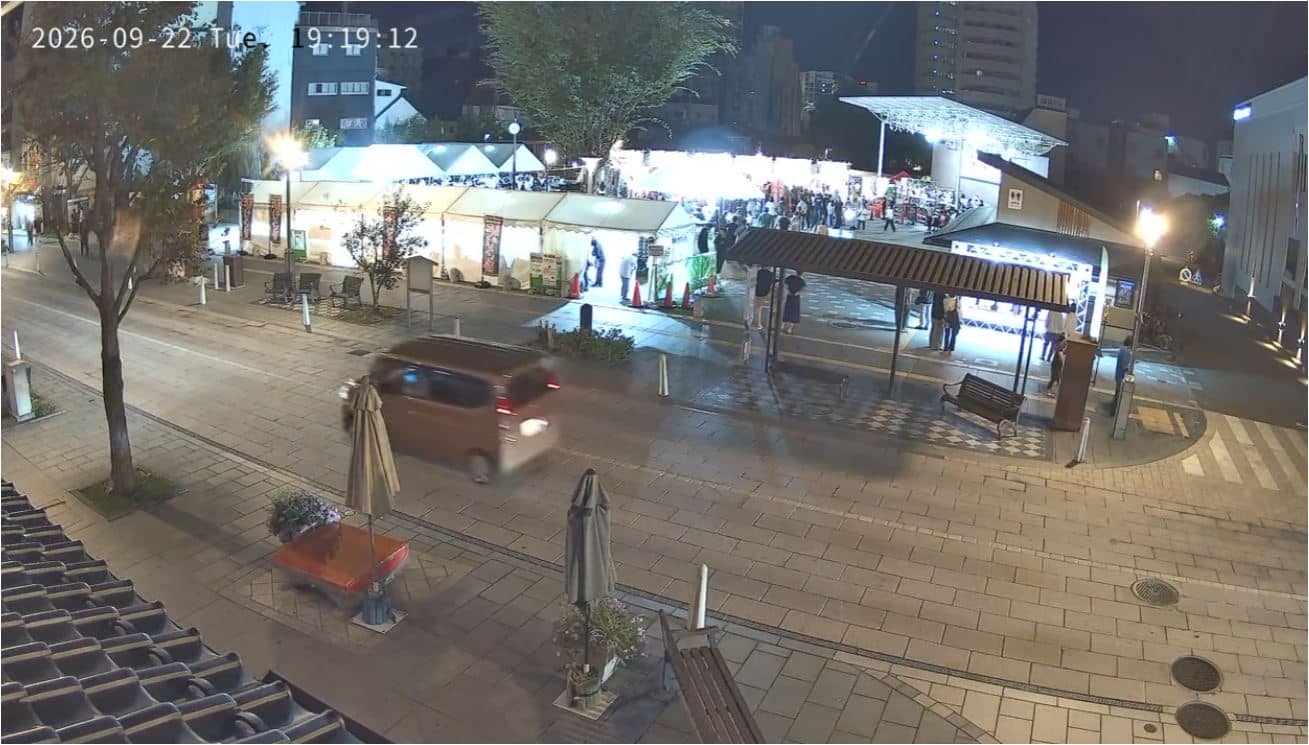
Nagano - ながの表参道セントラルスクゥエア
Nagano, Japan — 1 km
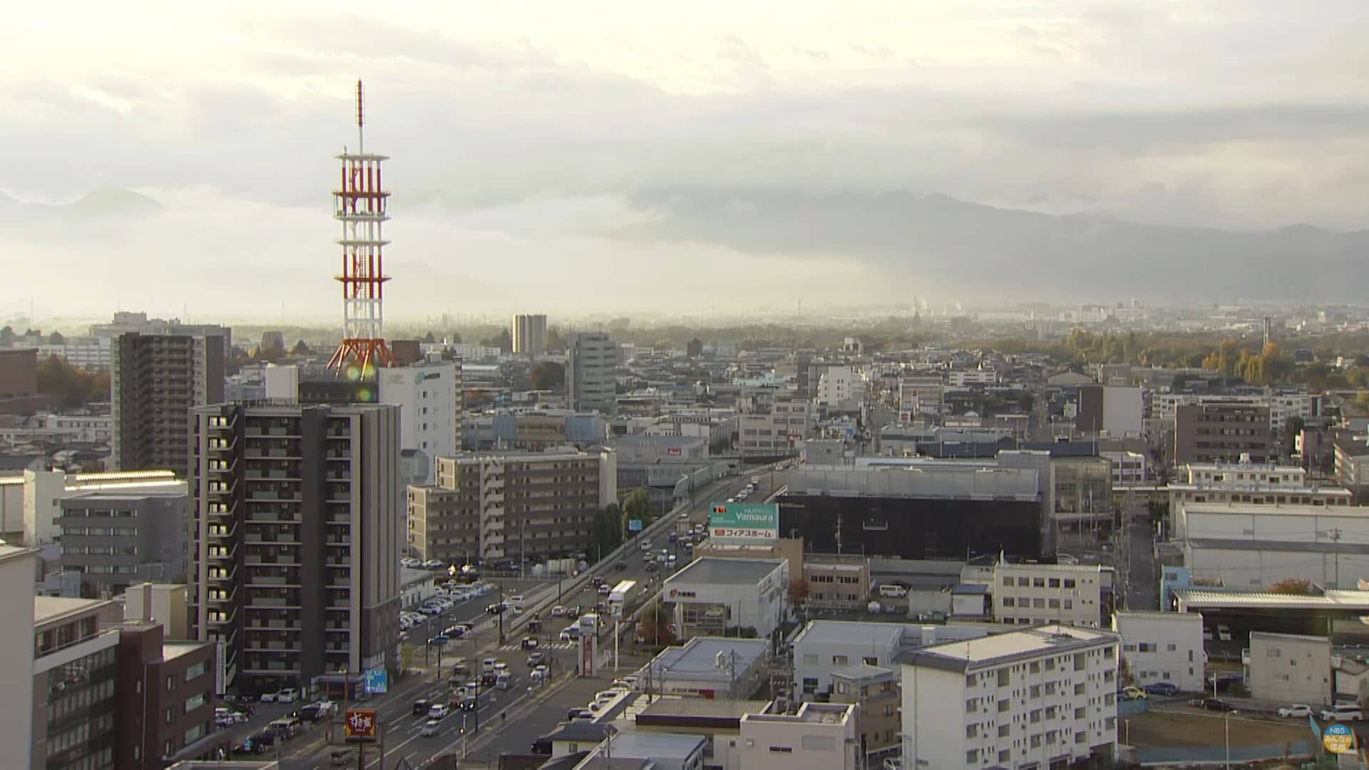
Nagano
🇯🇵 Nagano · Japan — Altitude 380 m
This live stream looks over Nagano, the capital of Nagano Prefecture in central Honshu. It is useful for seeing how the city looks right now and whether the mountain weather is clearing or closing in. The page also shows the local time and the forecast so you can plan around what the sky is doing.
Nagano sits on a broad basin in the Japanese Alps at roughly 380 metres above sea level, surrounded by high mountains on most sides. It is best known for Zenkō-ji, one of the country's most visited Buddhist temples, and for hosting the 1998 Winter Olympics. The city blends temple streets and river walks with a strong outdoor culture of hiking, skiing and cycling.
The camera is listed as an other-category view, so the framing is best judged on the live picture itself. Views over a city in a mountain basin tend to change most with weather: clear winter mornings can show snow on the surrounding peaks, while summer afternoons often bring cloud building over the ridges. Early morning and late afternoon light usually make the mountain edges easiest to read.
Nagano has warm, humid summers and cold, dry winters with frequent snow in the surrounding hills. Spring and autumn are generally the most comfortable seasons for walking. The city is served by Shinkansen trains from Tokyo, and nearby cameras in Kinasa, Yamanouchi, Madarao Kogen and Ueda give a wider picture of the region.
Source: Nagano Live webcam
Nagano, Japan — 1 km
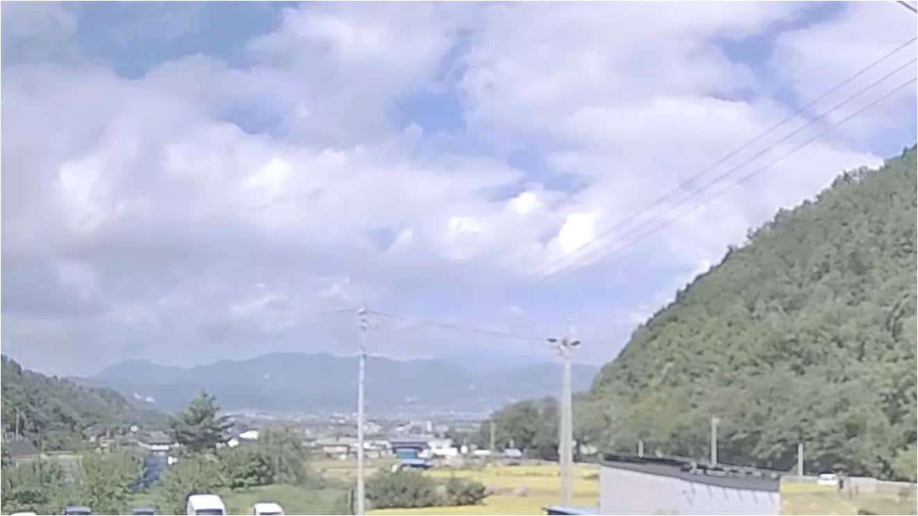
Nagano, Japan — 8.4 km
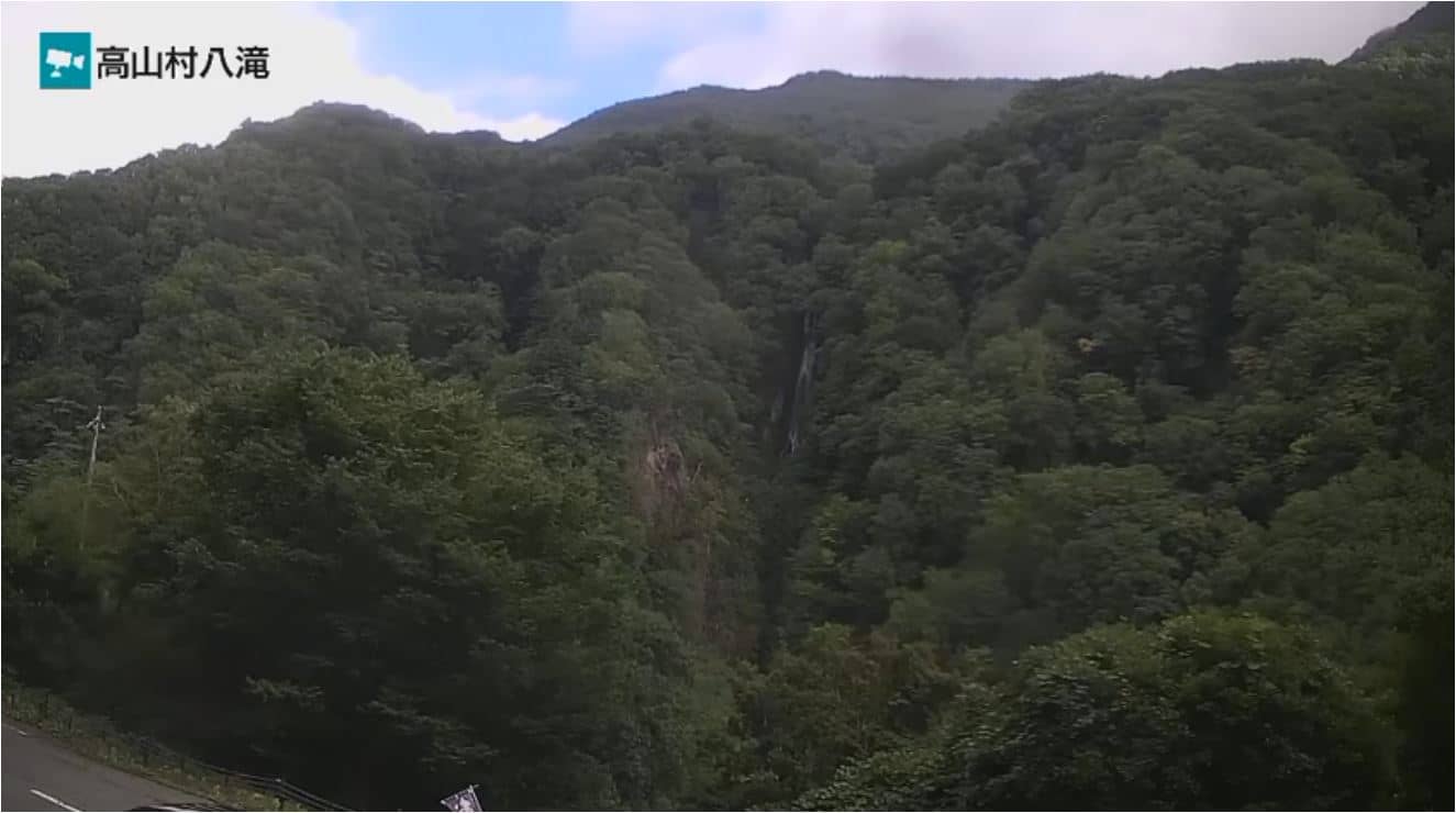
Nagano, Japan — 11 km
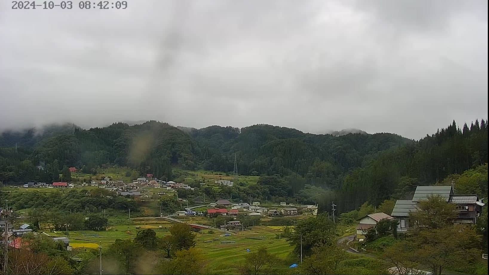
Nagano, Japan — 17 km
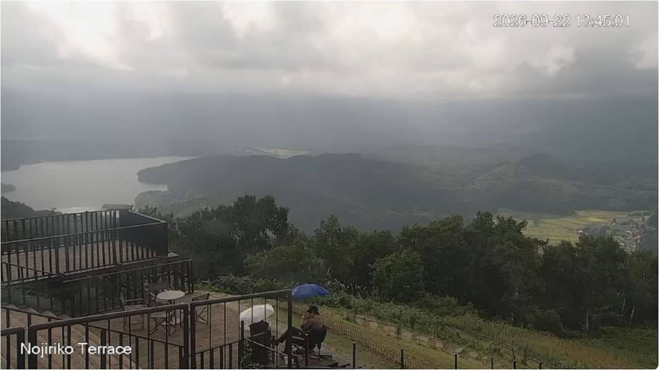
Nagano, Japan — 23 km
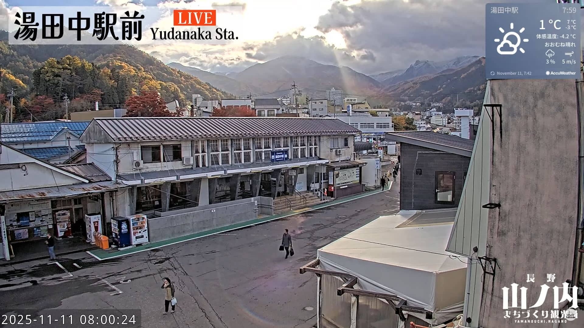
Nagano, Japan — 23 km
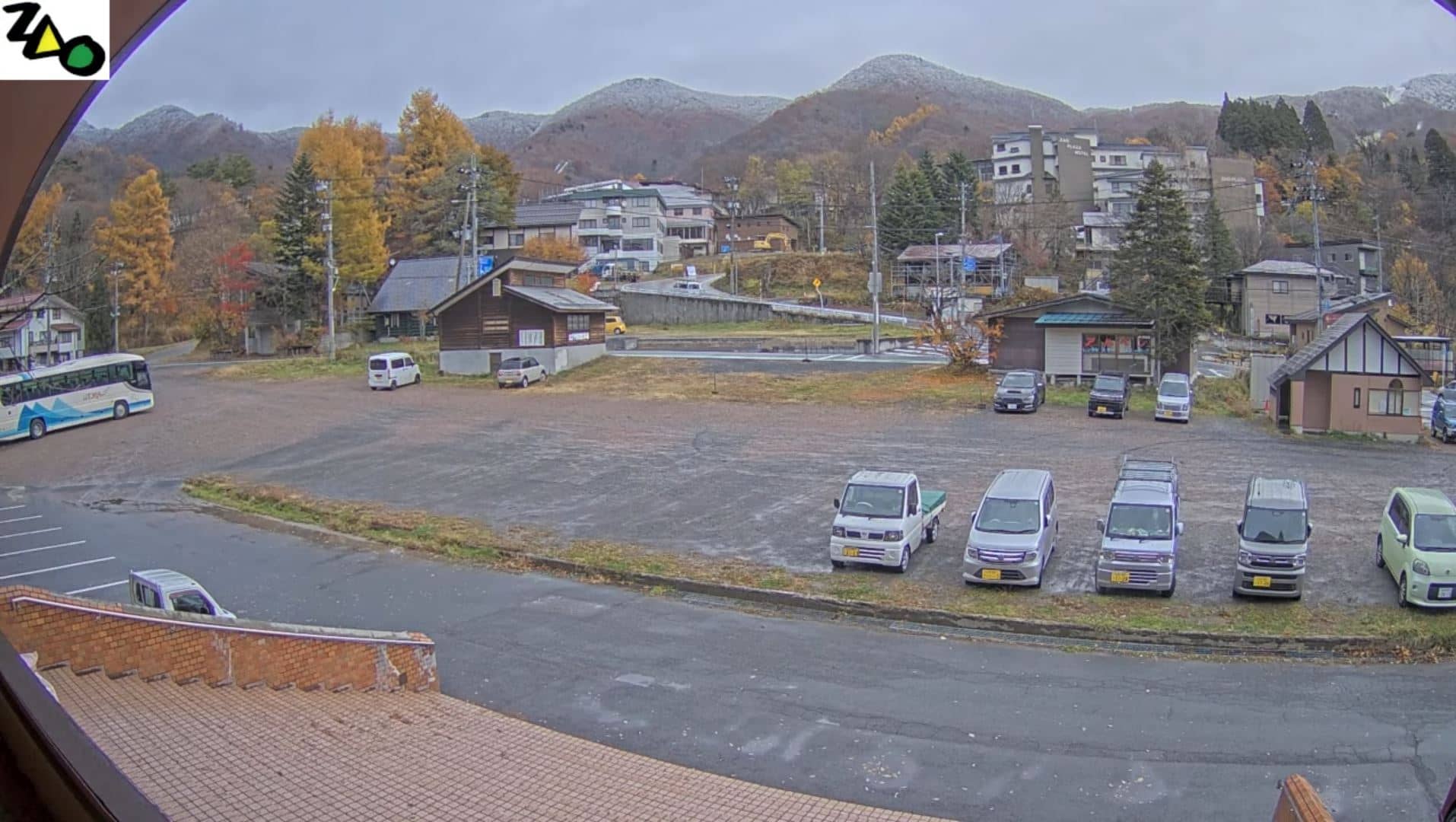
Toyama, Japan — 24 km
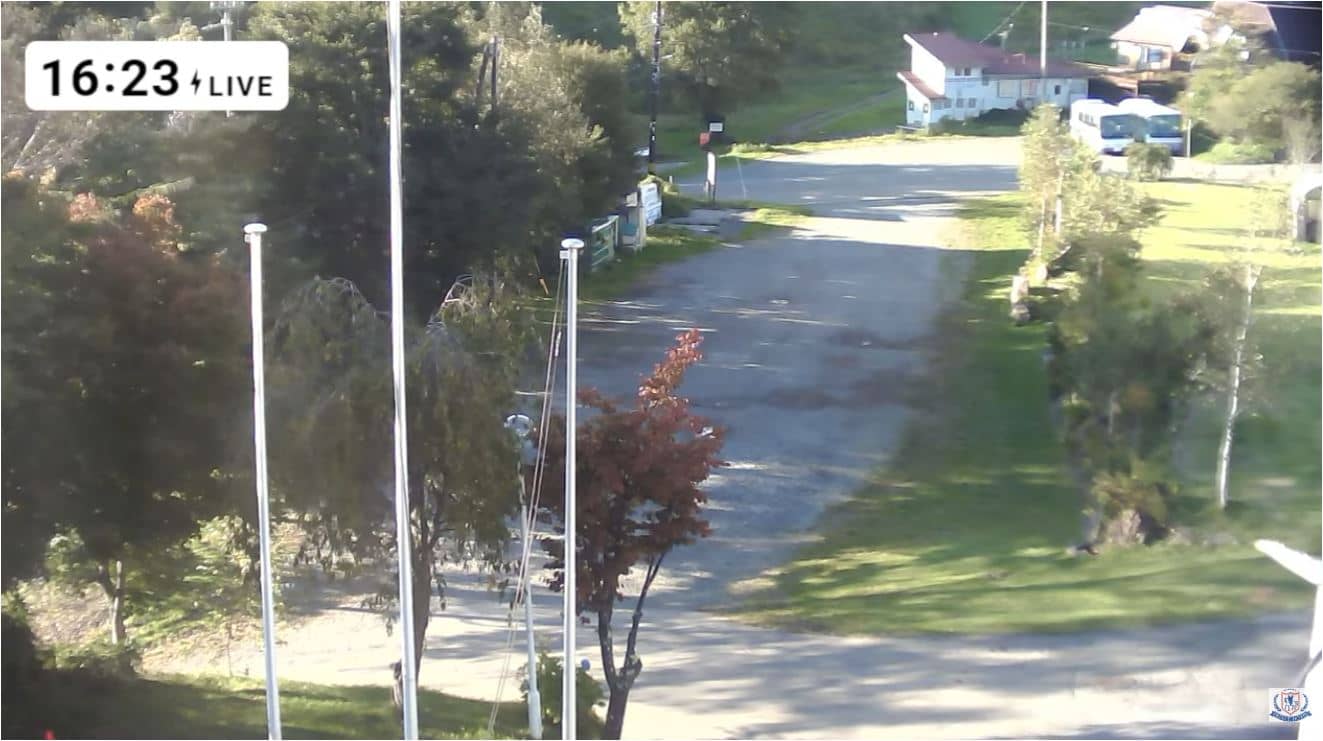
Nagano, Japan — 28 km
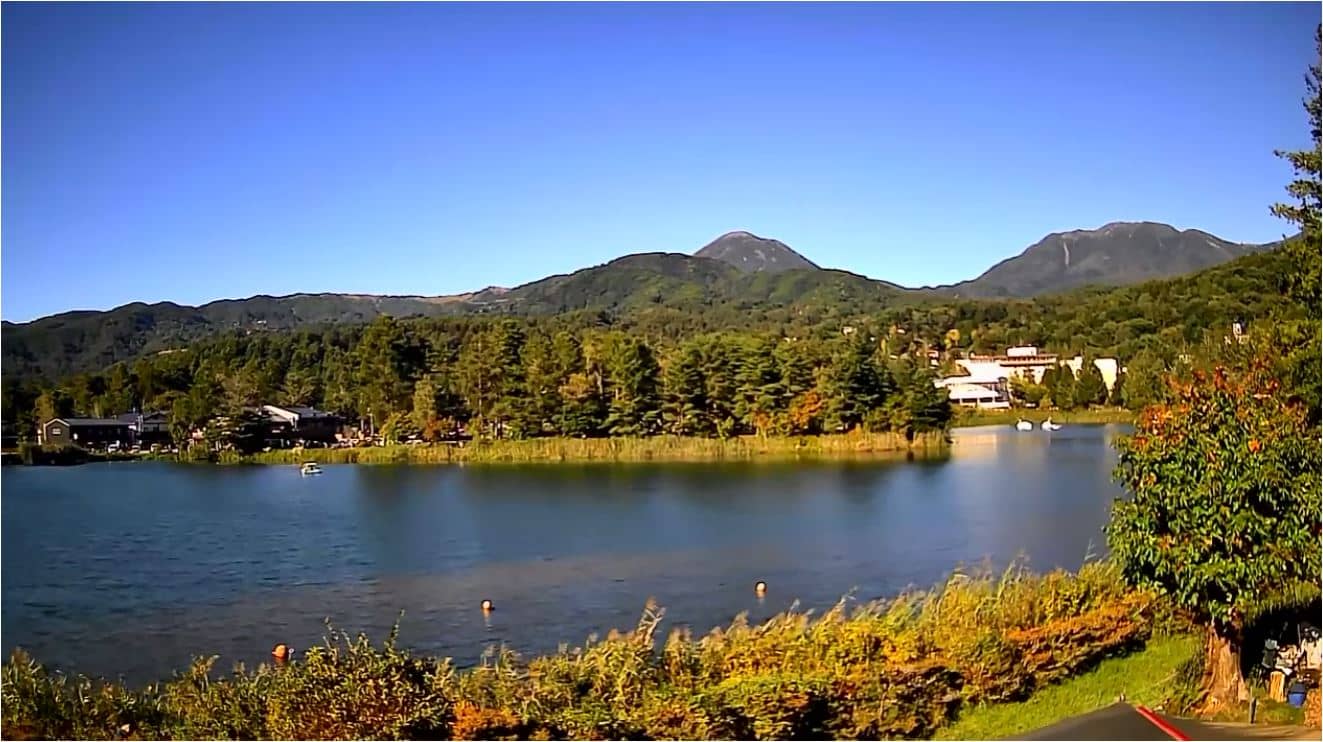
Nagano, Japan — 28 km
Nagano, Japan — 29 km
The current conditions and a three-day forecast are shown in the weather block on this page. They update with the latest data for the city.
The local time for Nagano, Japan, is shown at the top of the page and updates continuously.
The camera is in Nagano city, Nagano Prefecture, central Japan, at an elevation of about 380 metres. The map on the page marks its location.
Clear mornings and late afternoons usually give the best visibility of the surrounding mountains. Winter can bring snow on the peaks, while autumn often gives the clearest skies.
Partner links: we may earn a commission at no extra cost to you.