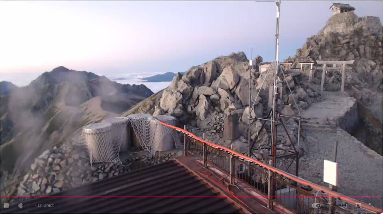
Tateyama-machi - 立山「山頂」北ライブカメラ 剱岳への稜線
Toyama, Japan — 2.3 km
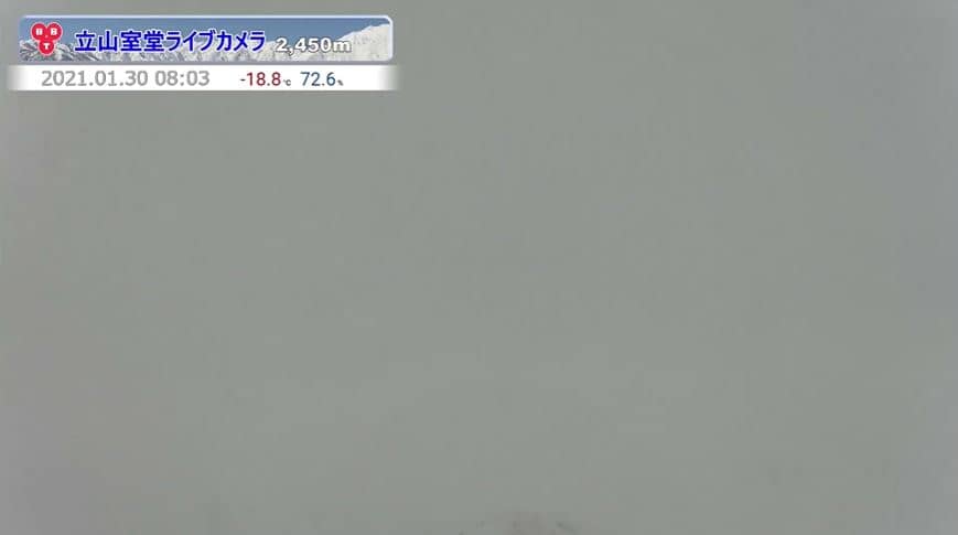
Murodo
🇯🇵 Tayoma · Japan — Altitude 2427 m
This live stream looks out over Murodo, a mountain station at about 2,400 metres in the Tateyama range of Toyama Prefecture. It is a useful window for anyone curious about high alpine conditions in central Japan, from snow and cloud to clear summer days.
Murodo sits on the Tateyama Kurobe Alpine Route, a road and cable car corridor that crosses the mountains between Toyama and Nagano. The area is known for its steep volcanic peaks, deep valleys and long snow season. In summer, the high plateau turns green and walking trails open, while the surrounding ridgelines remain rugged and exposed.
The camera is listed as a mountain view, so expect a wide outlook over peaks and ridges rather than a street or harbour scene. Mountain views are often most readable in the early morning, when clouds are lower and the light is clean, and after a fresh snowfall, when the summits stand out sharply. Conditions can change within minutes, so watch for shifting cloud cover.
Murodo is typically reached in the warmer months, when the Alpine Route is open, and access is limited the rest of the year because of heavy snow. Expect cool temperatures even in summer and bring layers. Nearby cameras on the site include other Tateyama ridge views and a Hakuba view about 23 km away, which can help you compare conditions across the region.
Source: Toyoma TV
Toyama, Japan — 2.3 km
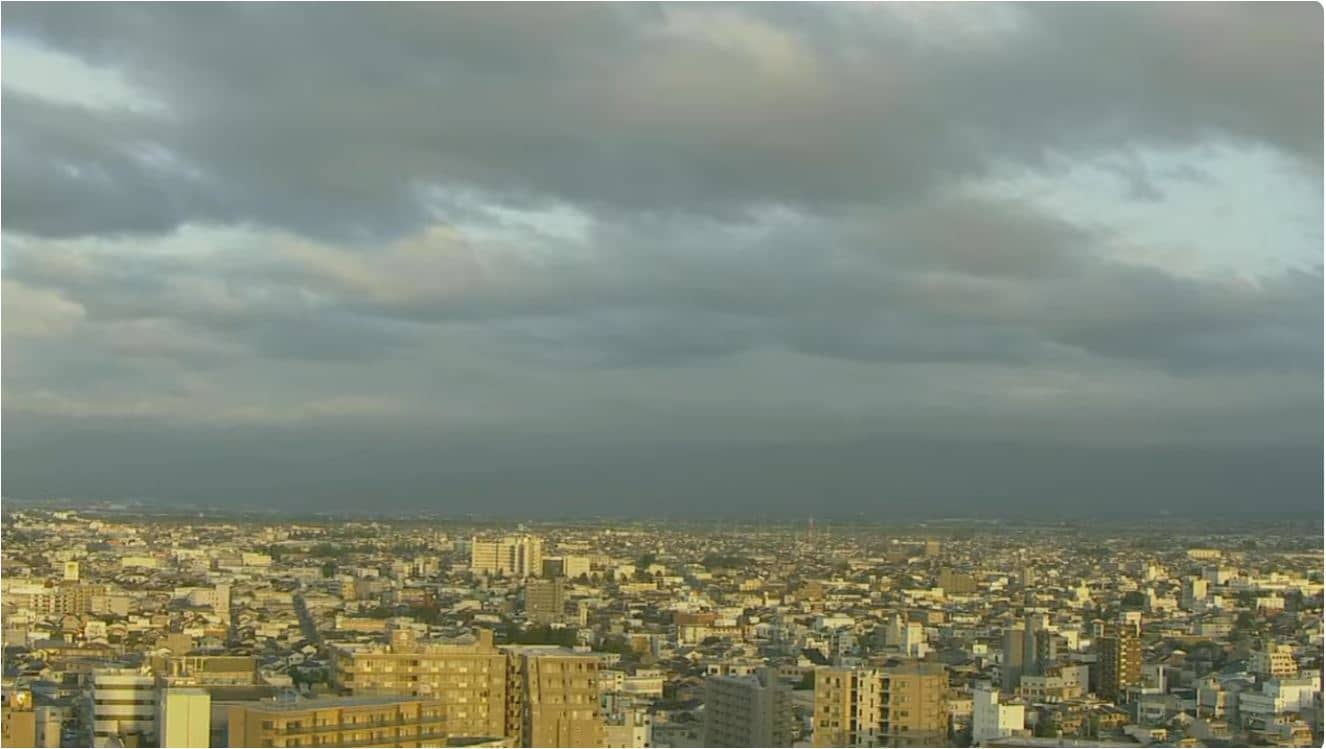
Toyama, Japan — 2.3 km
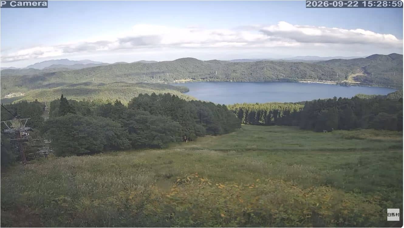
Nagano, Japan — 23 km
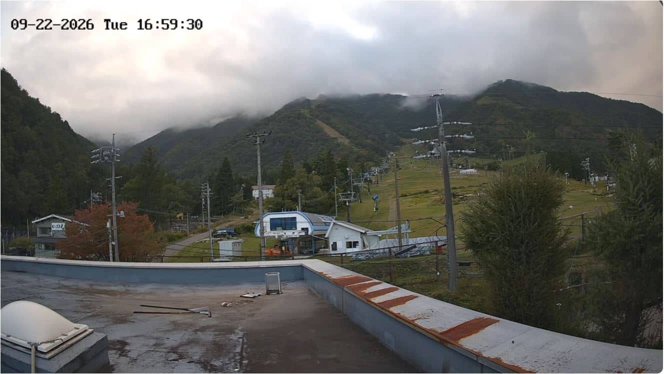
Nagano, Japan — 24 km
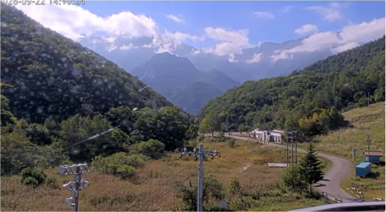
Nagano, Japan — 25 km
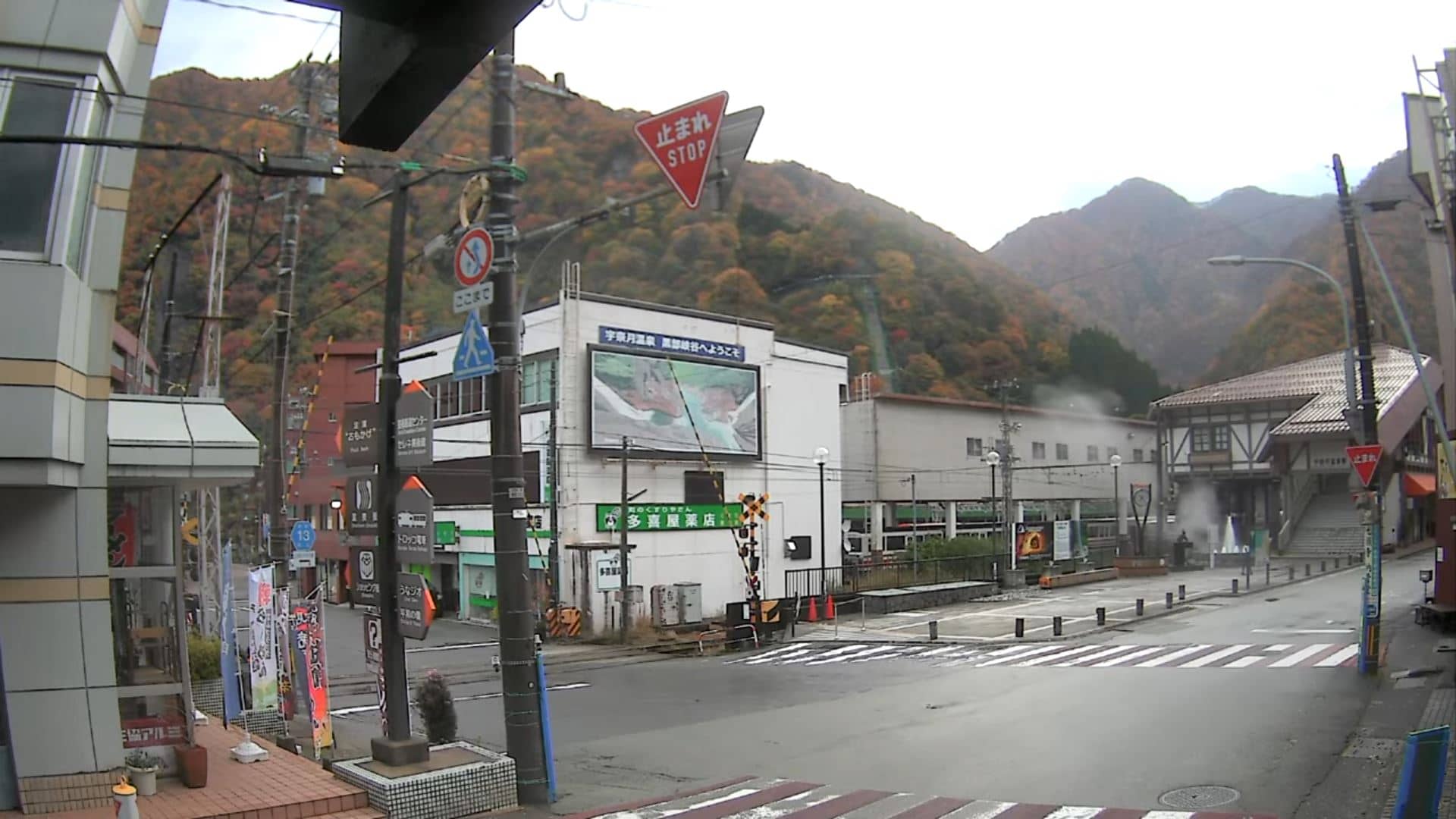
Toyama, Japan — 26 km
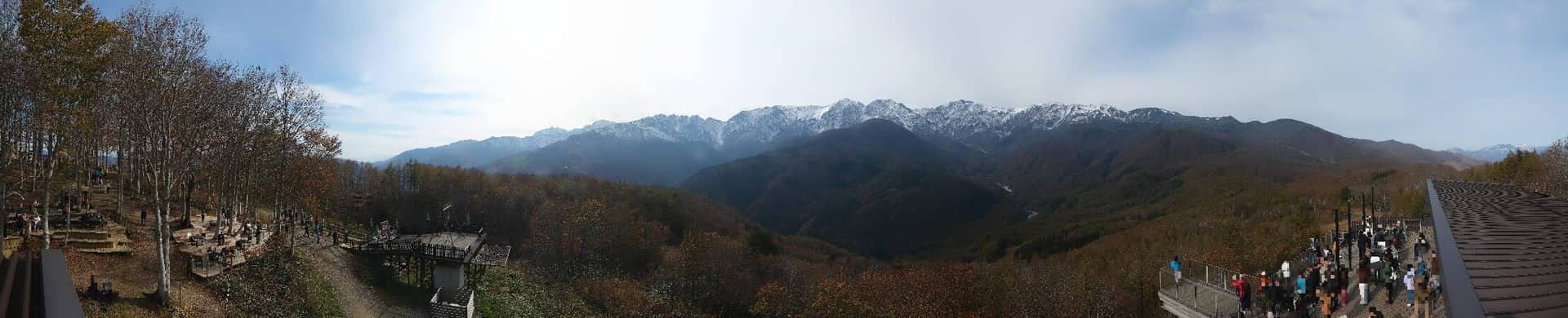
Nagano, Japan — 27 km
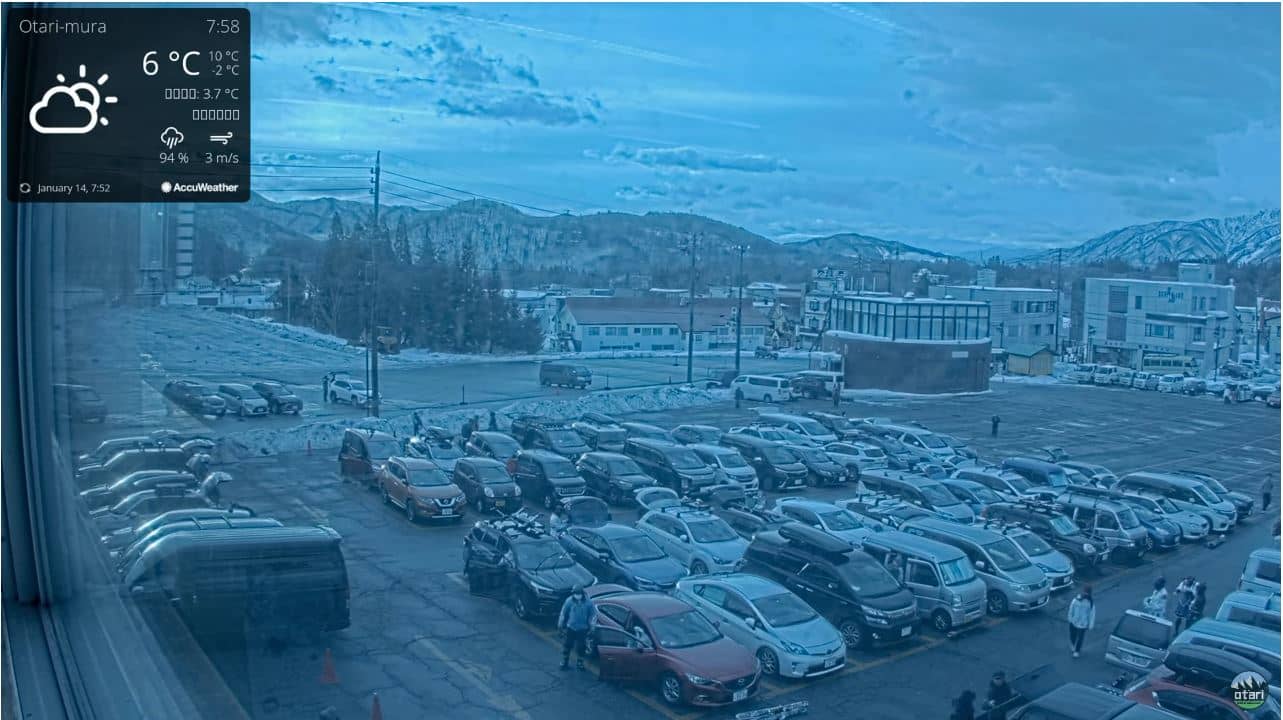
Nagano, Japan — 31 km
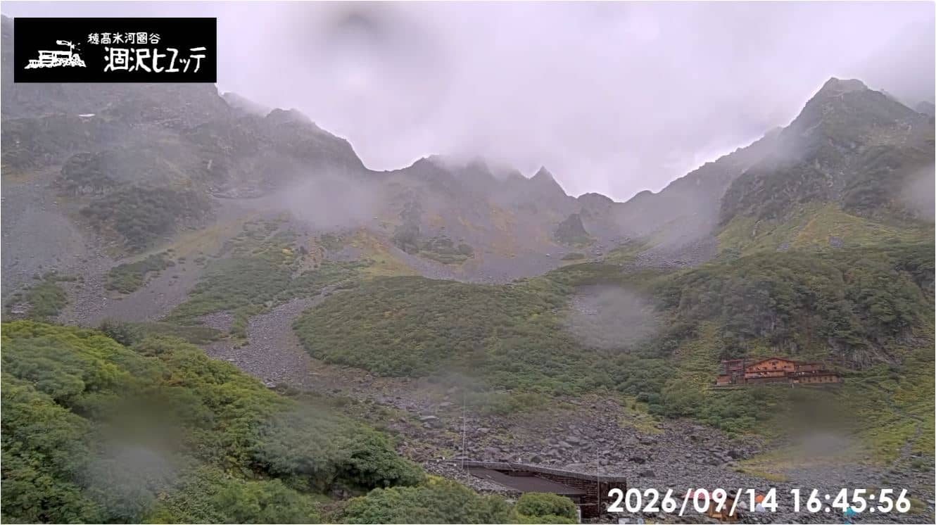
Nagano, Japan — 32 km
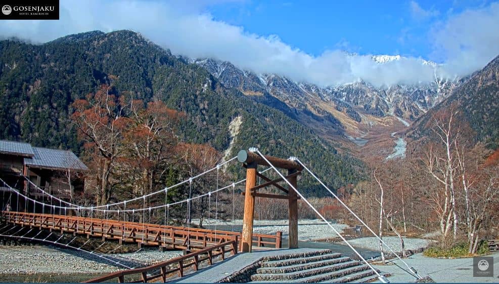
Nagano, Japan — 37 km
The live weather block on this page shows current conditions at Murodo together with a 3-day forecast. Because the station is high in the mountains, temperatures and cloud can differ a lot from the nearest towns.
The local time shown on this page follows Japan Standard Time, the same as Tokyo. It updates automatically while the page is open.
The camera is at Murodo in Tateyama, Toyama Prefecture, at roughly 2,400 metres above sea level. The map on this page shows its position in the Tateyama range.
Early morning often gives the clearest views of the peaks, and the snow season and summer months each offer different scenes. Weather decides how much of the mountains is visible at any given time.
Partner links: we may earn a commission at no extra cost to you.