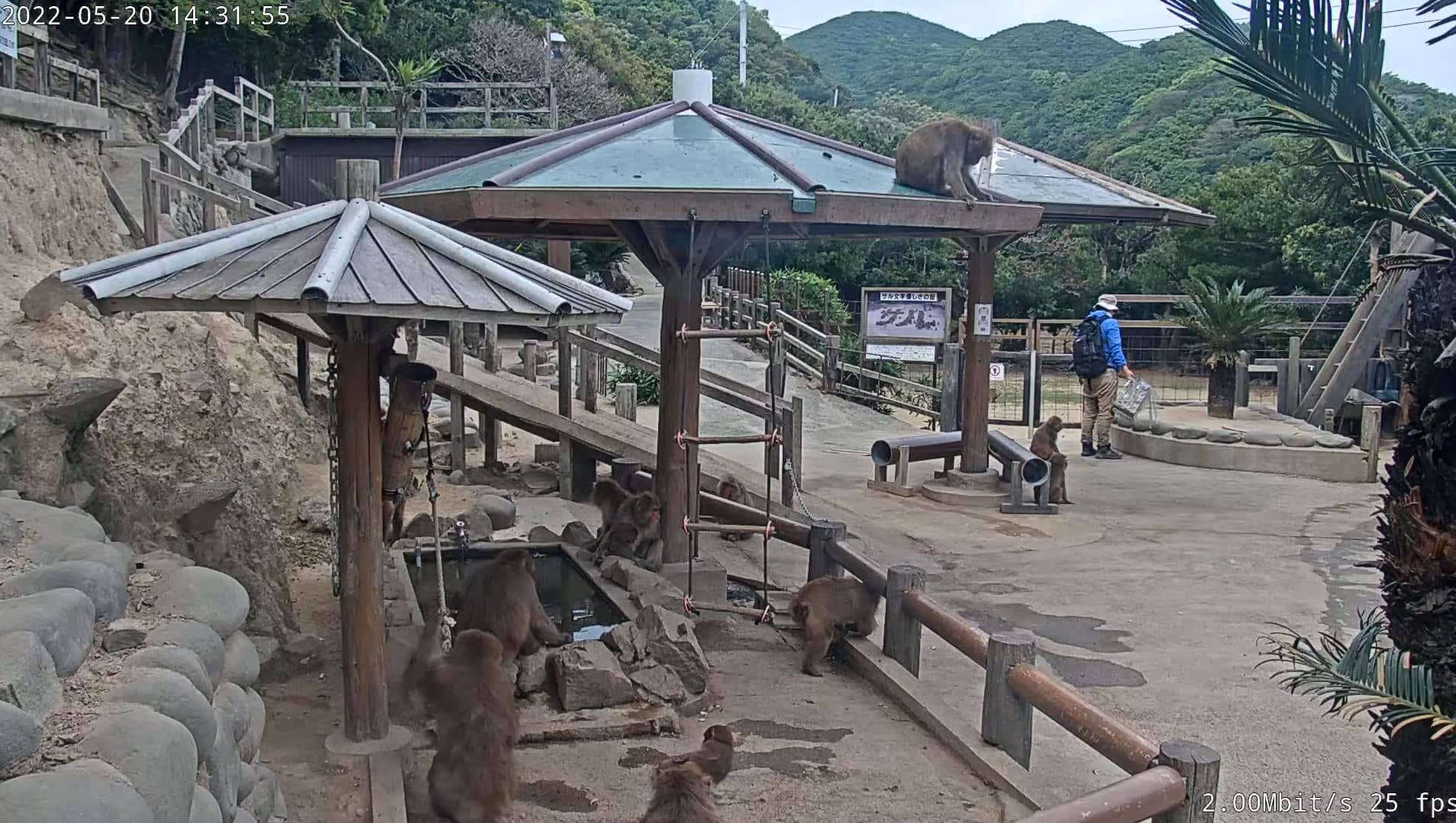
Sumoto
Hyogo, Japan — 25 km
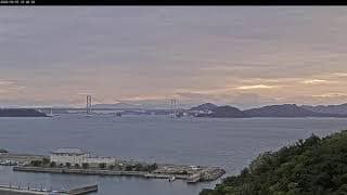
Naruto - Axis P1435-E
🇯🇵 Tokushima Prefecture · Japan
This live camera looks out over Naruto, a coastal city at the northeastern tip of Tokushima Prefecture on Shikoku island. The feed is useful for seeing the sea and sky as they are right now, whether you are planning a visit or simply curious about the area.
Naruto sits on the Naruto Strait, the narrow channel between Shikoku and Awaji Island where fast tidal currents run between the Seto Inland Sea and the Pacific. The city is best known for its whirlpools, which are strongest around the spring and autumn tides, and for the Ōnaruto Bridge that crosses the strait. The landscape combines hills, fishing harbours and water that changes colour with the light and the tide.
Because the camera is a live view of a coastal location, conditions change through the day. Depending on the angle, you may see the water surface, boat movements and the play of tidal currents. Mornings and late afternoons usually offer the softest light, while clear days give the best visibility across the strait. Check the weather block on this page before expecting a clear view.
Naruto has a humid subtropical climate, with hot, wet summers and mild winters. Spring and autumn are generally the most comfortable seasons for outdoor visits. Tokushima Prefecture has only one camera on VizCams, but nearby cameras include Sumoto, Awaji SHEVRON PLACE, Kobe and Kawachinagano, which give useful context for the wider Kansai and Awaji area.
Source: CamStreamer
Hyogo, Japan — 25 km

Hyogo, Japan — 29 km
Hyogo, Japan — 71 km
Osaka, Japan — 80 km
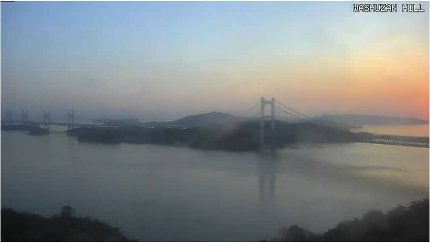
Okayama, Japan — 80 km
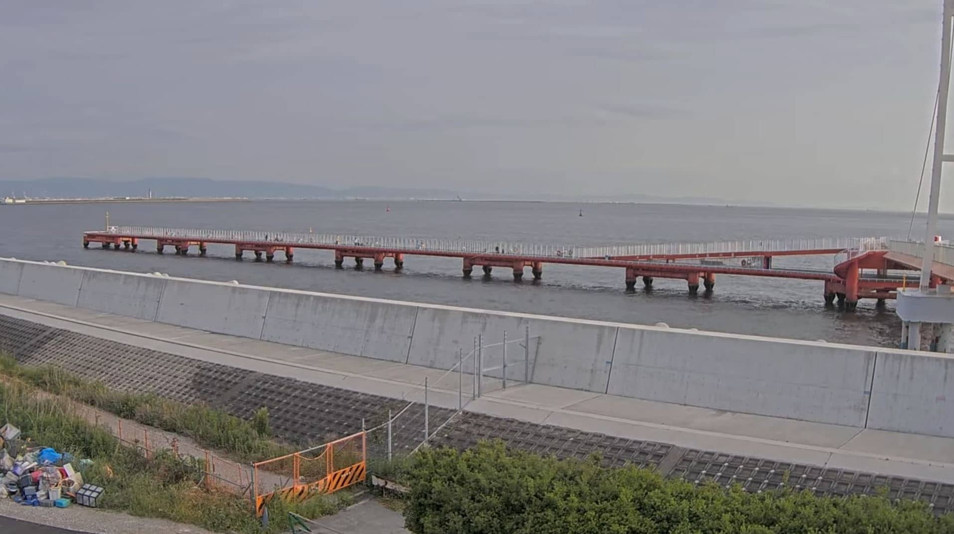
Hyogo, Japan — 82 km

Wakayama, Japan — 89 km
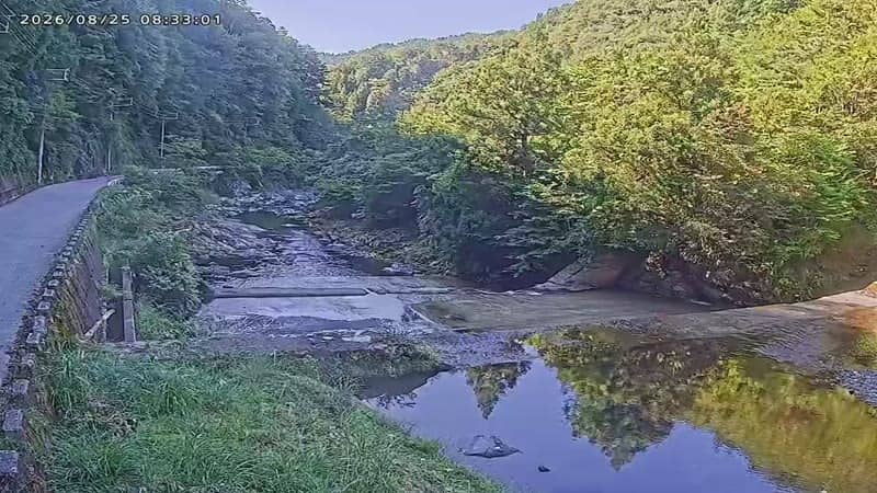
Nara, Japan — 90 km
Nara, Japan — 91 km
Hyogo, Japan — 91 km
The current conditions and a three-day forecast for Naruto are shown in the live weather block on this page, updated automatically.
The local time in Naruto is displayed on this page. Japan uses one time zone for the whole country, so it is the same across the prefecture.
The camera is located in Naruto, Tokushima Prefecture, on the northeastern coast of Shikoku island. The map on this page shows its exact position.
Daylight hours with clear weather usually give the best view. Tidal activity in the strait is strongest around the spring and autumn tides, which can make the water more dramatic to observe.
Partner links: we may earn a commission at no extra cost to you.