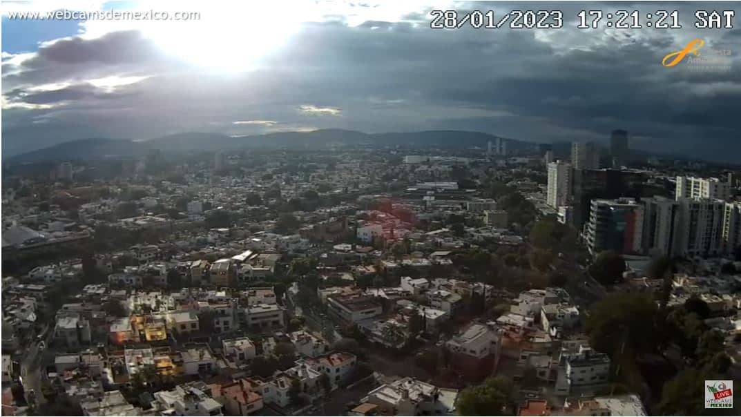
Guadalajara
Jalisco, Mexico — 132 km
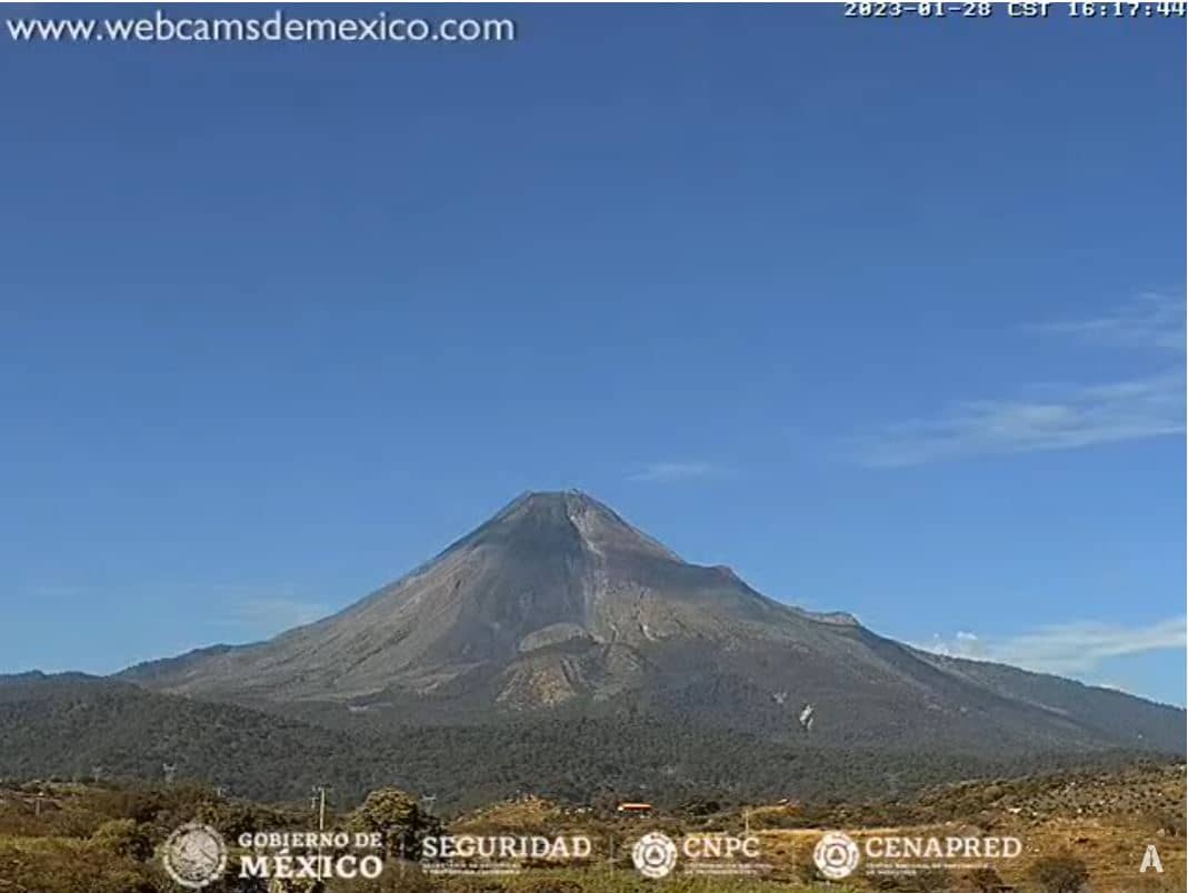
Volcan Colima
🇲🇽 Colima · Mexico — Altitude 579 m
This live camera points at Colima, one of the most active volcanoes in Mexico, rising above the state of Colima on the Pacific side of the country. Viewers follow it to check on the volcano's changing conditions and the skies above it. The page also shows the local time and forecast so you can plan your viewing.
Colima, also called Volcán de Fuego, forms part of the Colima volcanic complex in western Mexico, close to the border with Jalisco. It is one of the country's most closely monitored volcanoes because of its frequent eruptive activity. The landscape around it mixes pine and oak forest on the upper slopes with farmland and towns in the lowlands, and the cone is a dominant feature for many nearby communities.
The camera is listed under mountain views, so it is aimed at the volcano and its surroundings rather than at a city street. Depending on the view, you may see the summit, the slopes and the sky above the peak. Views are often clearest in the early morning, before clouds build over the mountain, and in the dry season, when the air is usually less hazy.
The region has a warm, seasonal climate with a rainy period in summer, when cloud often covers the summit. The dry months from late autumn to spring generally offer clearer views. Guadalajara is the largest city within reach, about 132 km away, and Puerto Vallarta lies further west on the coast. Check the live weather on this page before watching, as cloud can hide the peak for hours.
Source: Volcan Colima Webcam
Jalisco, Mexico — 132 km
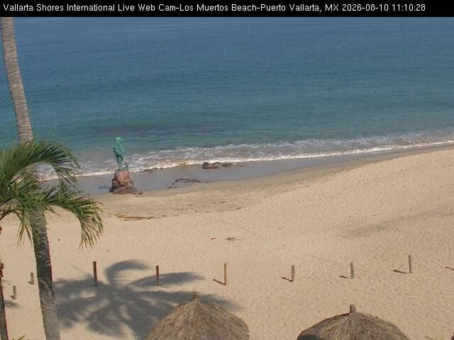
Jalisco, Mexico — 207 km
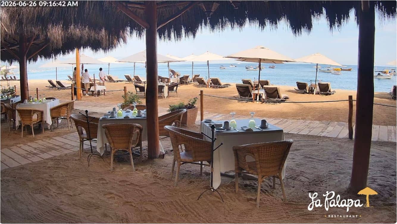
Jalisco, Mexico — 211 km
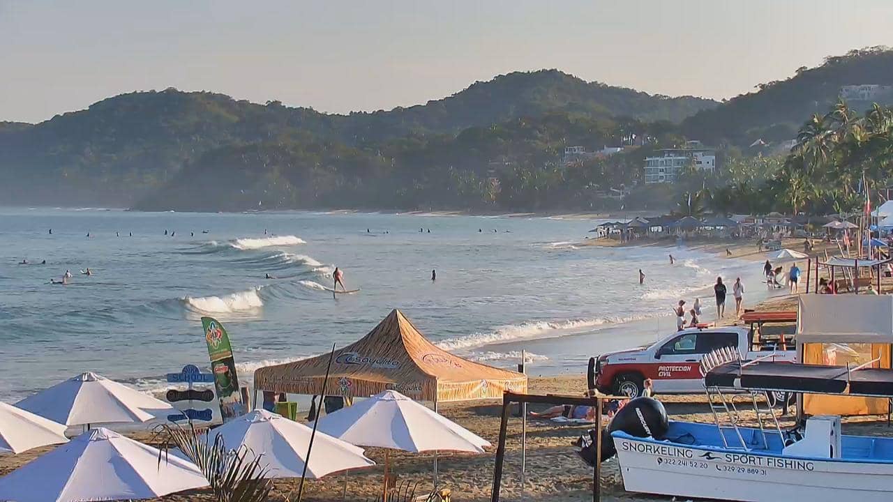
Nayarit, Mexico — 242 km
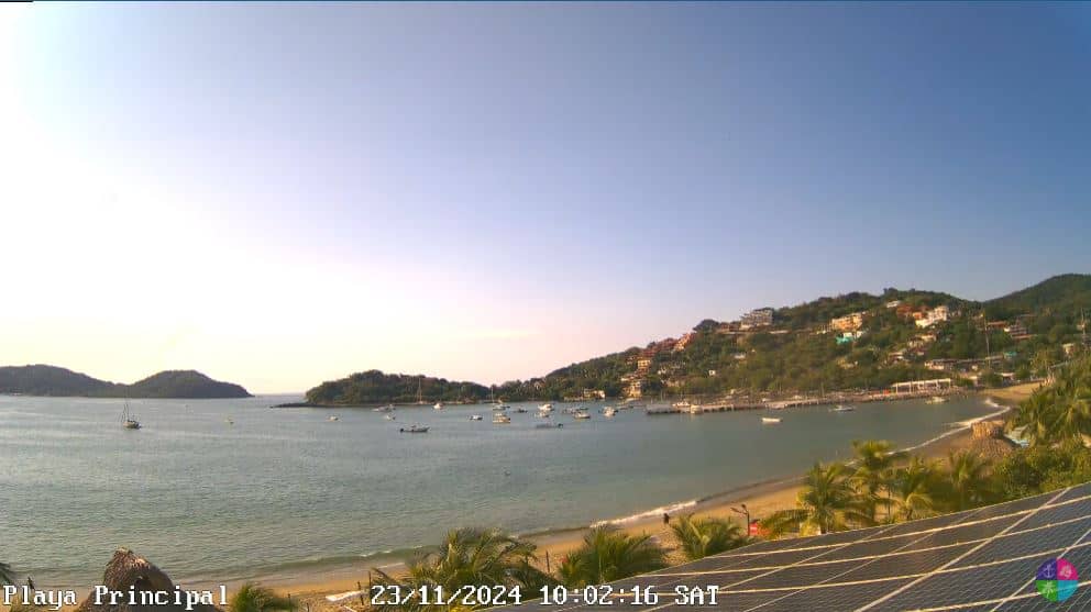
Guerrero, Mexico — 302 km
State of Mexico, Mexico — 469 km
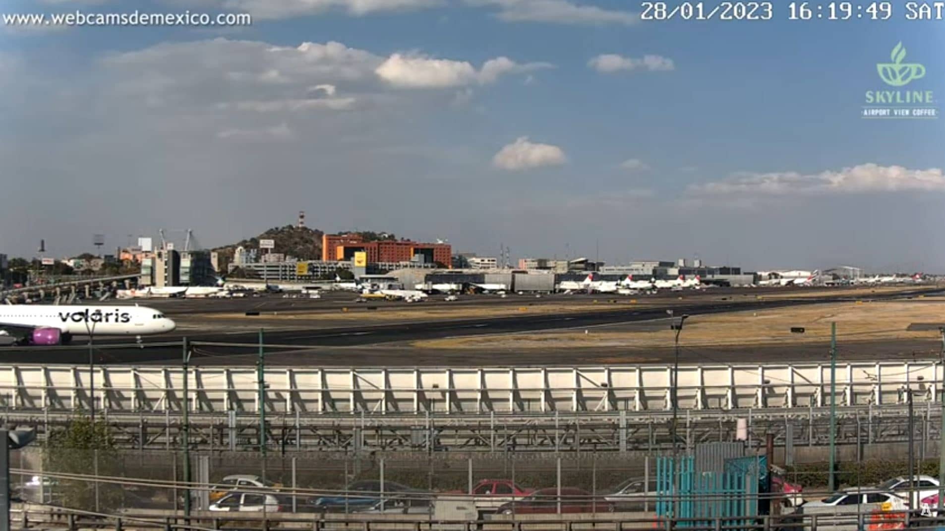
State of Mexico, Mexico — 478 km
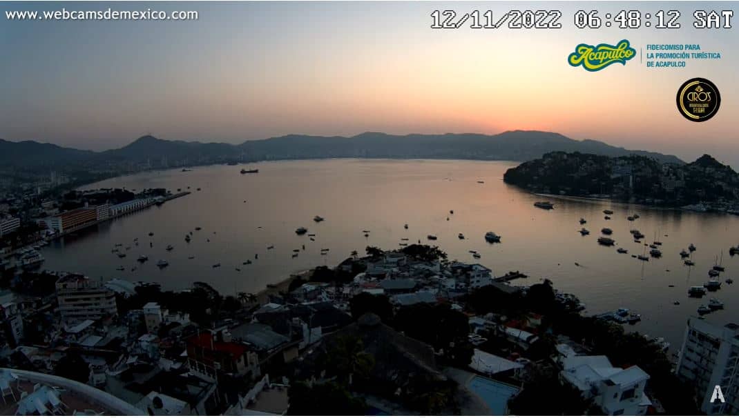
Guerrero, Mexico — 492 km
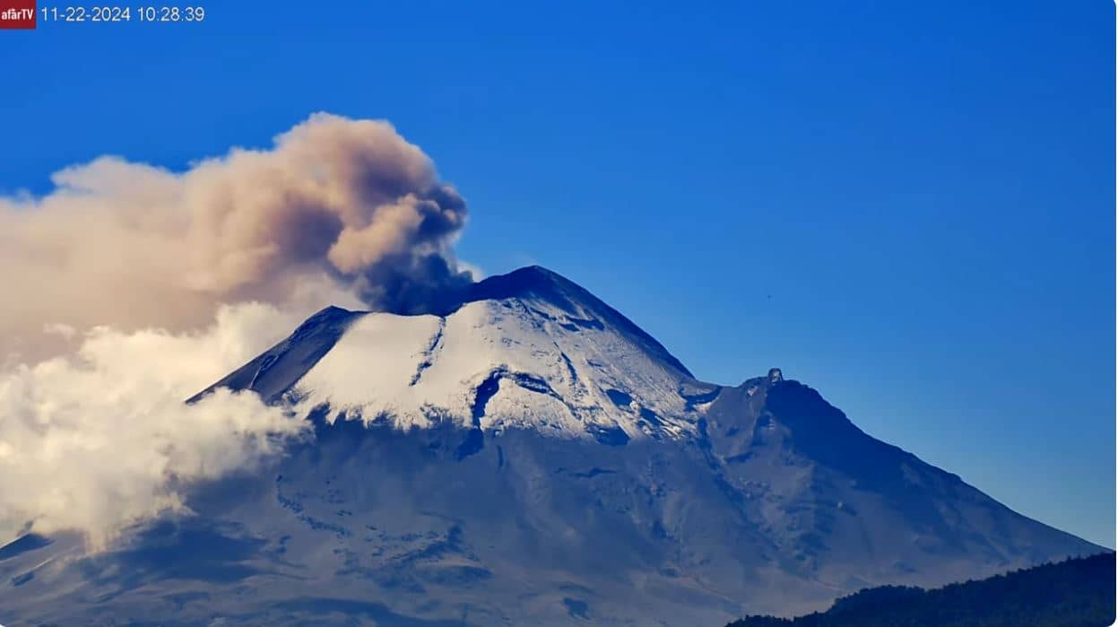
Puebla, Mexico — 529 km
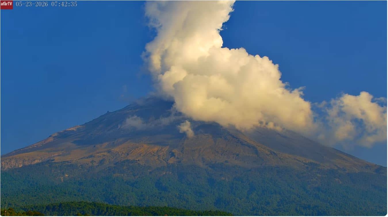
Puebla, Mexico — 537 km
The current conditions and a three-day forecast for the area are shown in the live weather block on this page. They update as new data arrives, so check there rather than relying on older reports.
The local time for the volcano's region is displayed on this page and updates automatically. It follows the local time zone of western Mexico.
The camera is in the state of Colima in western Mexico, and the map on this page shows its location. The volcano sits near the border with Jalisco, roughly a few hundred kilometres from the Pacific coast.
Early mornings in the dry season usually give the clearest views. During the rainy months, clouds often hide the summit, so check the live view and weather before you watch.
Partner links: we may earn a commission at no extra cost to you.