Den Oever - Vue générale
North Holland, Netherlands — 0 km
Den Oever - Havenboet
🇳🇱 North Holland · Netherlands — Altitude 2 m
This live stream looks over the harbour area of Den Oever, a small village on the Wieringen side of the Afsluitdijk. It suits anyone curious about daily life at a Dutch fishing and ferry harbour or planning a trip to the Wadden coast. The camera is a live video stream, and you can check conditions here before heading out.
Den Oever sits at the western end of the Afsluitdijk, the long dam that closed off the former Zuiderzee and separated it from the North Sea. The village grew around its harbour and the locks that regulate water between the IJsselmeer and the Wadden Sea. Flat polder land, big skies and the constant presence of water define the setting, and the light changes quickly over the open landscape.
The camera is a general harbour view, so the details depend on what is moored and moving at the time. Ferry traffic, boats entering or leaving the basin and changing tides tend to be the most interesting, and low sun in the early morning or evening often brings out the colours of the water. Stormy weather and high winds make for dramatic views, though visibility can drop during rain or fog.
The Dutch coast is mild and breezy, with cool summers and wet, windy winters. Late spring and summer are the most comfortable months for a visit. Den Oever is a good base for exploring the dike and the nearby island of Texel, and the other cameras listed on this page show ferry and harbour activity elsewhere in the area.
Source: webcam-denoever.nl
North Holland, Netherlands — 0 km

North Holland, Netherlands — 17 km
North Holland, Netherlands — 17 km
North Holland, Netherlands — 17 km
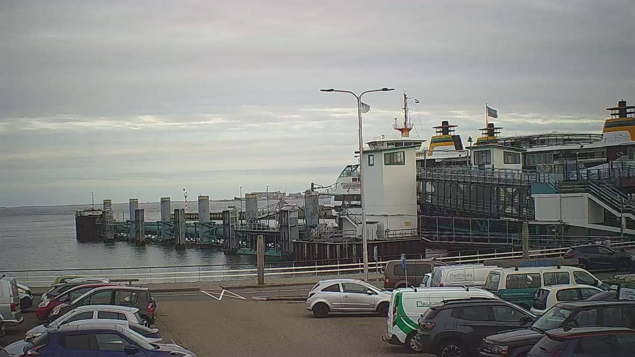
North Holland, Netherlands — 17 km
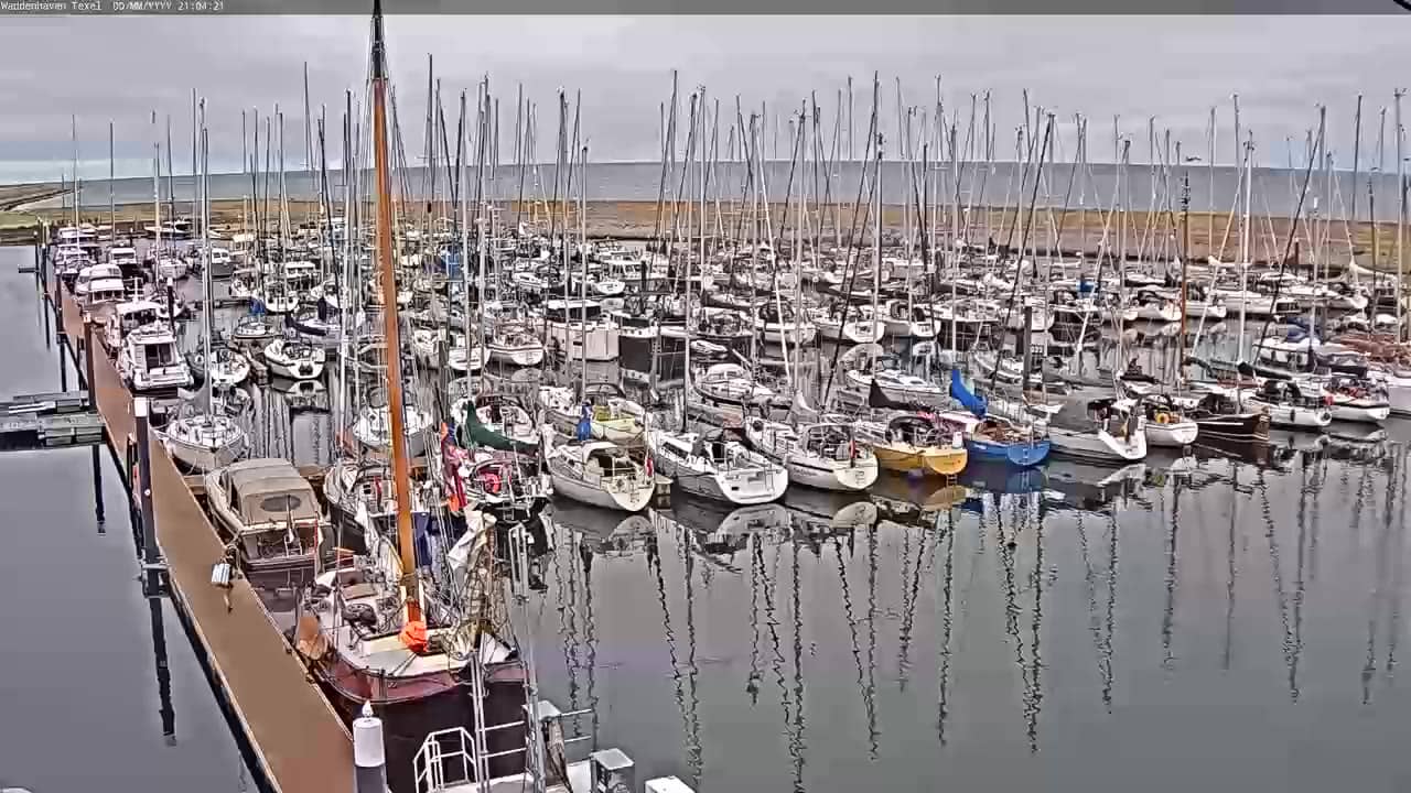
North Holland, Netherlands — 17 km
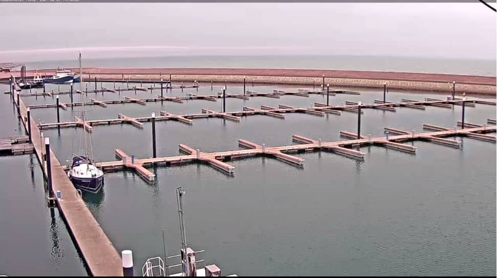
North Holland, Netherlands — 17 km

North Holland, Netherlands — 17 km
North Holland, Netherlands — 19 km

North Holland, Netherlands — 20 km
The current conditions and a 3-day forecast for Den Oever are shown in the live weather block on this page. Values update automatically, so you can check wind and rain before you go out.
The local time in Den Oever is shown at the top of the page. It follows the Dutch time zone, which is one hour ahead of the UK and the same as most of central Europe.
The camera is in the harbour of Den Oever in the province of North Holland, at the western end of the Afsluitdijk. The map on this page marks the exact location.
Early morning and late afternoon usually give the clearest light over the water, and the harbour is busiest during ferry times. Weather strongly affects what you can see, so check the live weather block before watching.
Partner links: we may earn a commission at no extra cost to you.