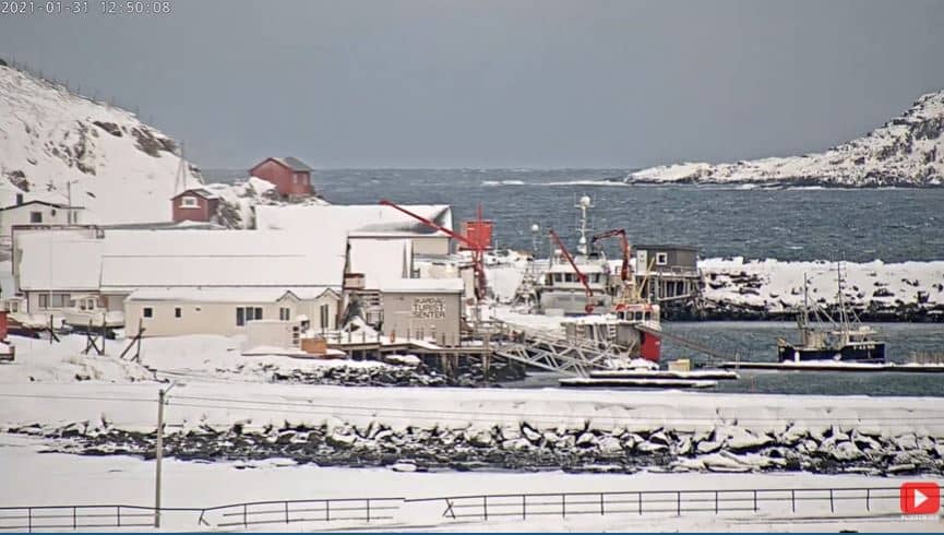
Skarsvag
Finnmark, Norway — 6.6 km
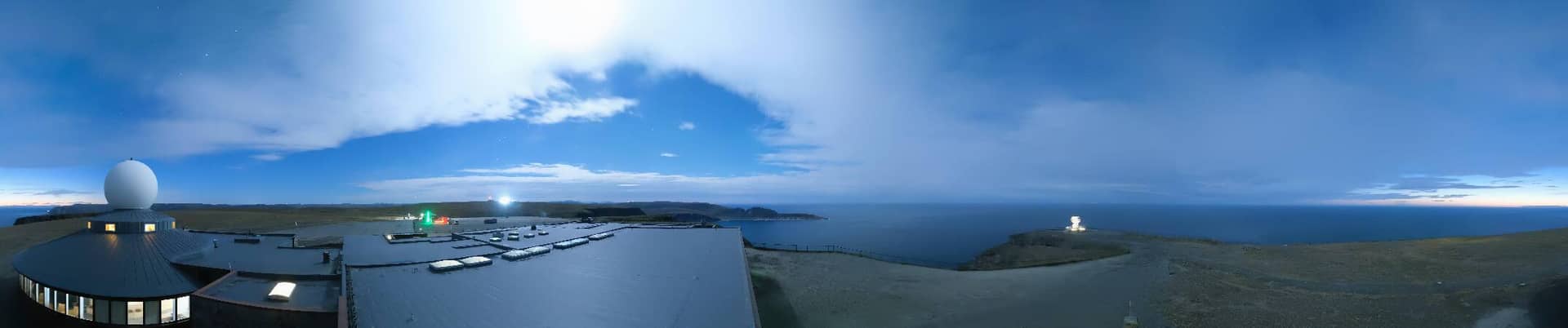
Nordkapp - Plateau du Cap Nord
🇳🇴 Finnmark · Norway — Altitude 310 m
This live camera looks out over the plateau at the top of the North Cape, one of the most northerly points in mainland Europe. It is useful for checking how open and exposed the headland looks before a visit, or simply for watching Arctic light and cloud move across the Barents Sea.
Nordkapp sits on a steep, flat-topped cliff on the island of Magerøya in Finnmark, county of northern Norway. The plateau rises roughly 300 metres above the sea and is known for its treeless tundra, its sheer drop to the Arctic Ocean and its status as a classic destination for travellers reaching the far north by road. The landscape is stark, open and often windy, with a sense of standing at the very edge of the continent.
Depending on the view, the camera may show the plateau, the visitor area, the sea beyond the cliffs and the shifting sky above it. Conditions change quickly here, so cloud, fog, low sun and snow can alter the scene within minutes. Summer offers near-continuous daylight, while in winter the low sun and long darkness make the picture more subdued and atmospheric.
The area has a subarctic maritime climate, with cool summers and mild, wet winters compared with other places at this latitude. Many visitors come between late spring and early autumn, when the road and visitor facilities are most accessible. Nearby, the cameras at Skarsvåg, Kåfjord and Mehamn show other parts of the Arctic coastline.
Source: panomax.com
Finnmark, Norway — 6.6 km
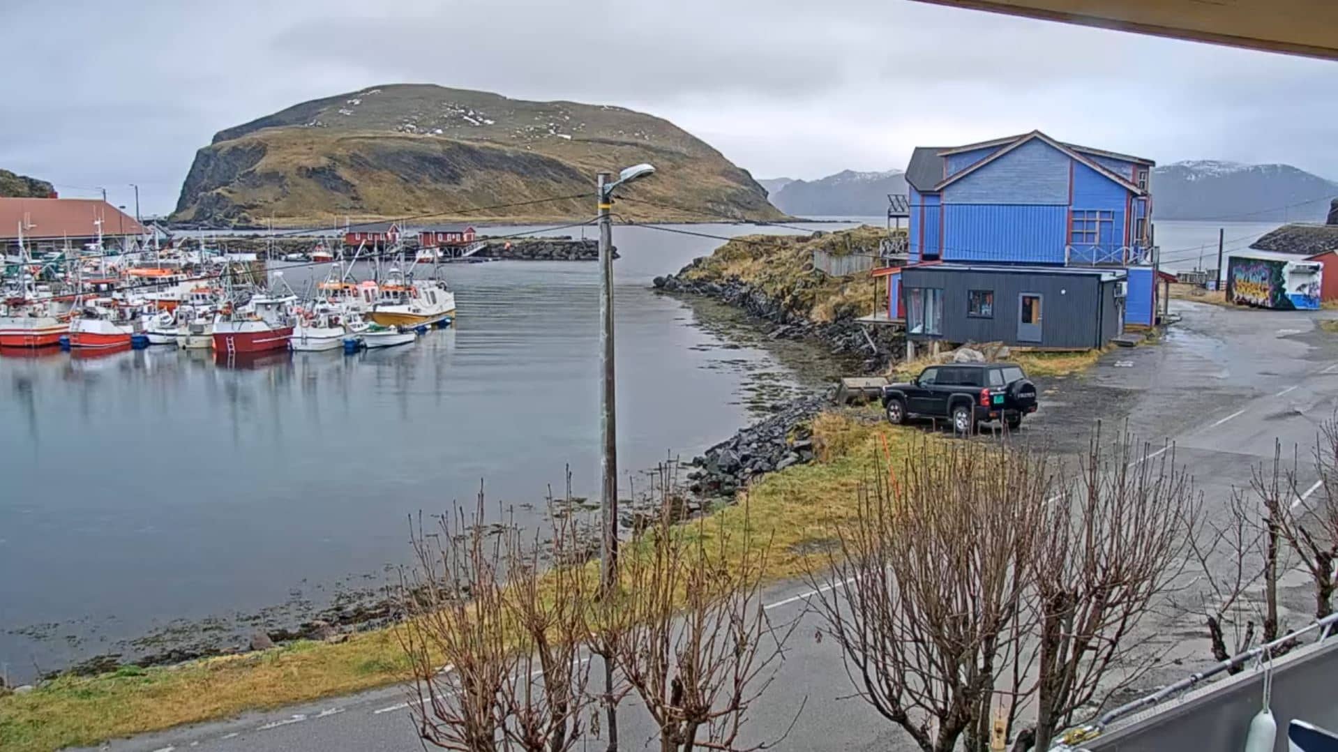
Finnmark, Norway — 14 km
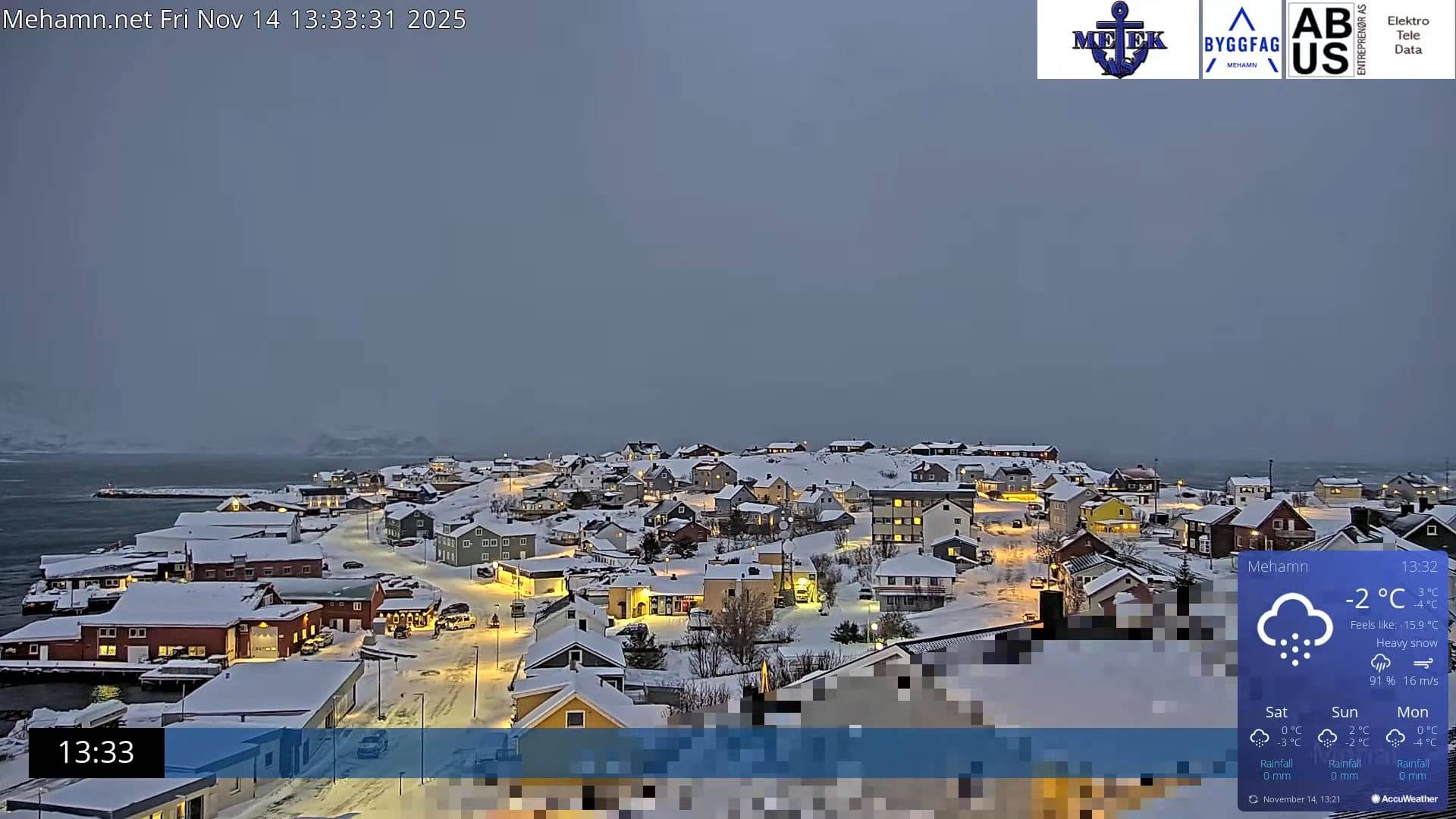
Finnmark, Norway — 75 km
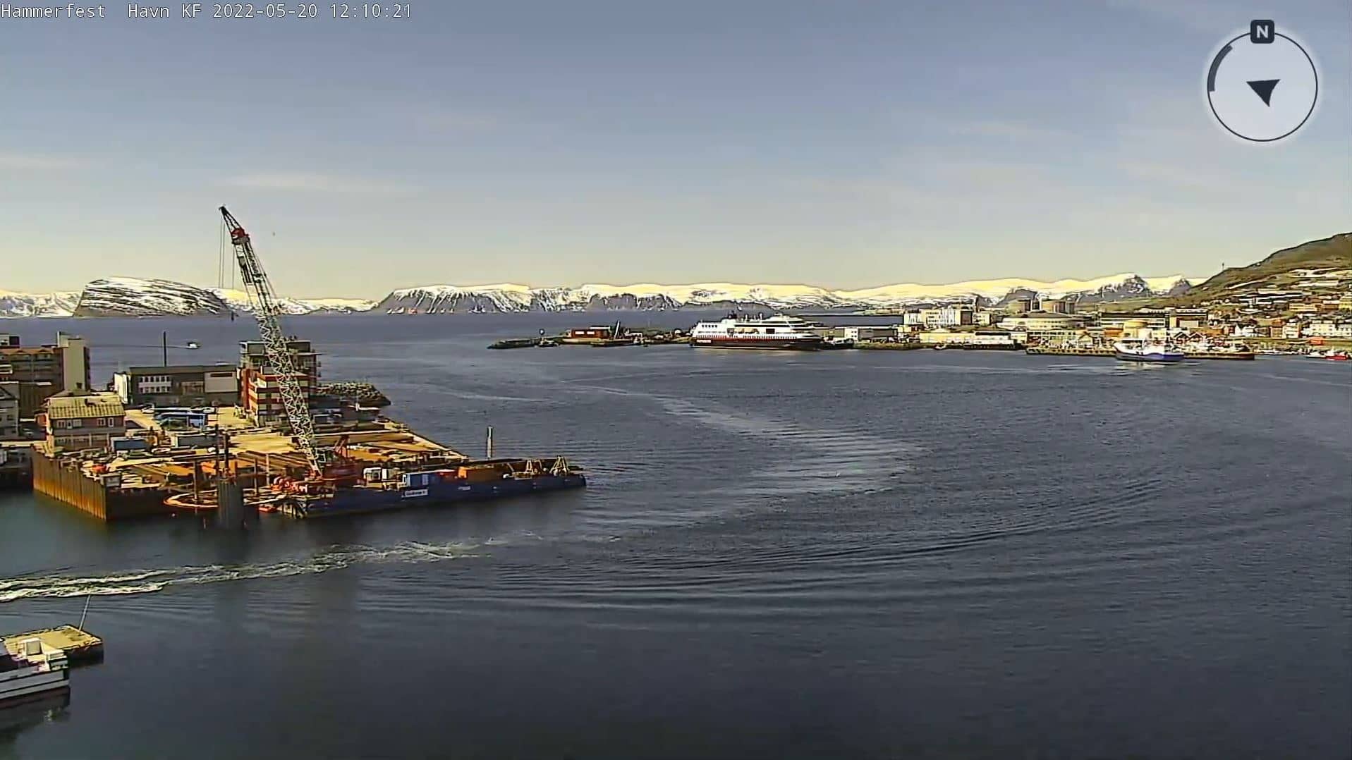
Finnmark, Norway — 95 km
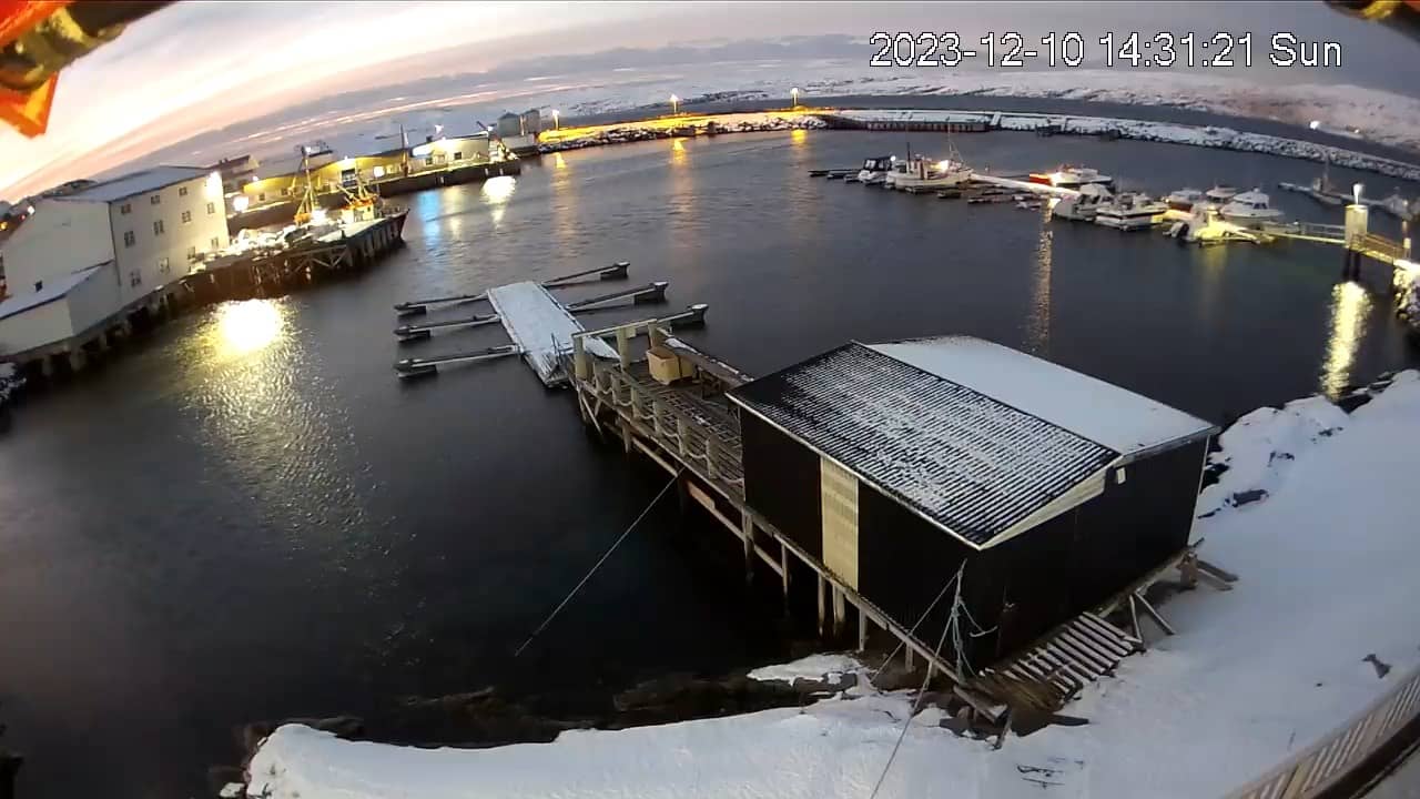
Nordland, Norway — 143 km
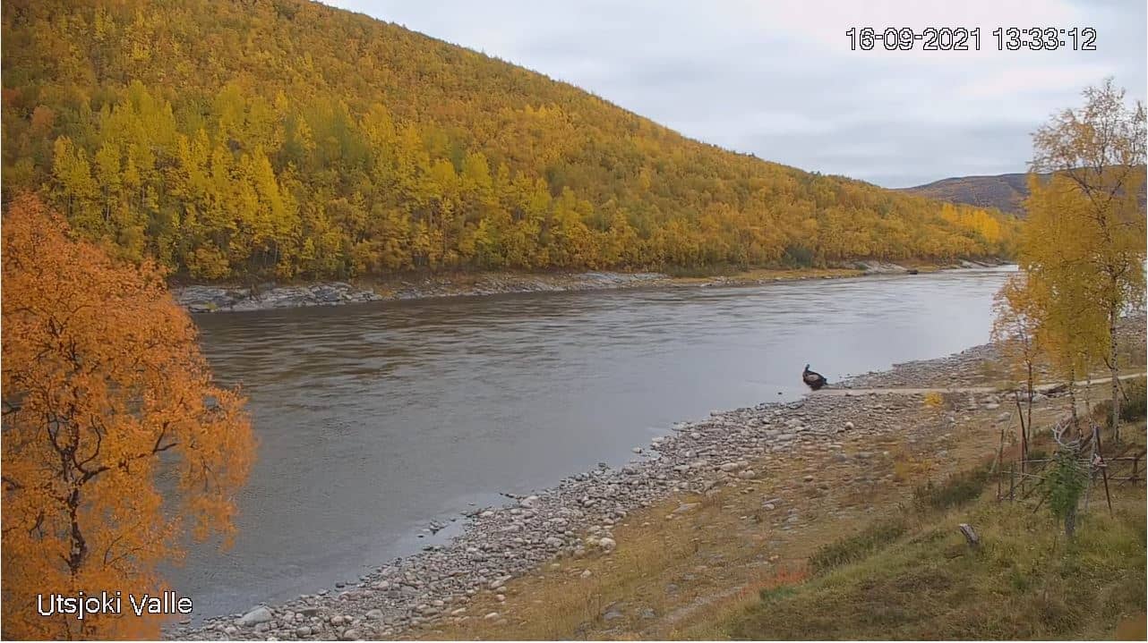
Lapland, Finland — 148 km
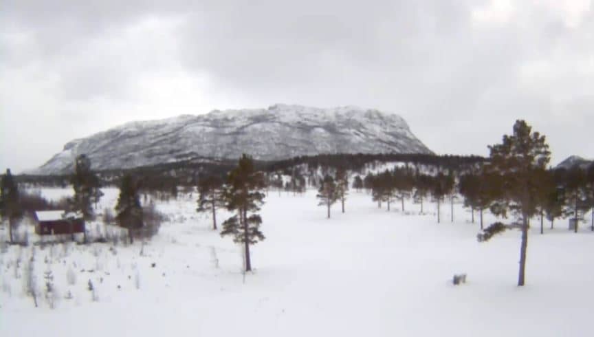
Finnmark, Norway — 171 km
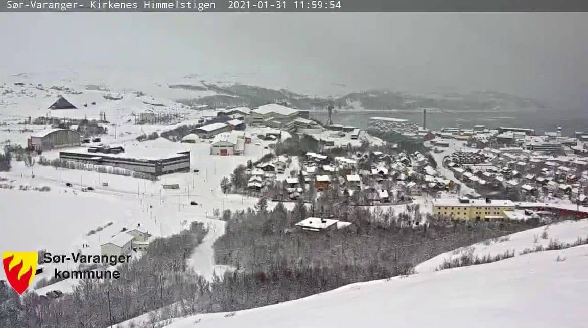
Finnmark, Norway — 226 km
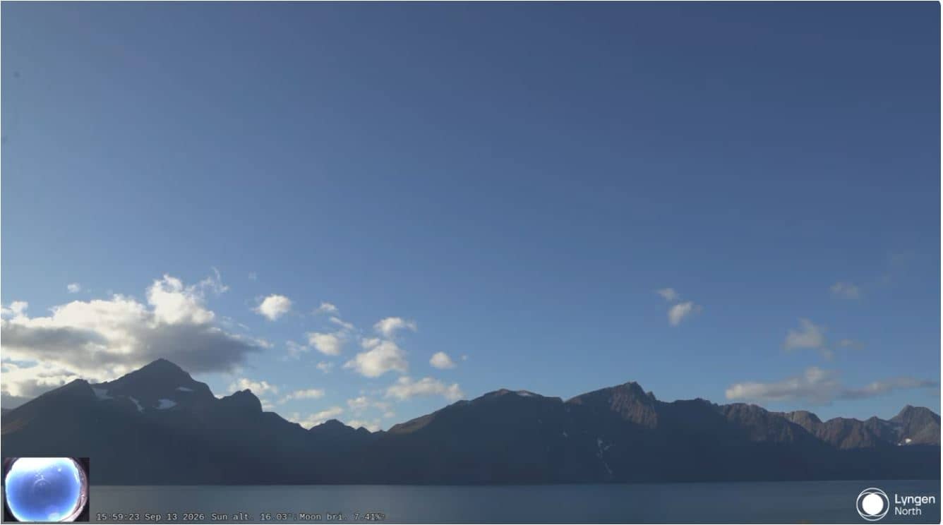
Troms, Norway — 252 km
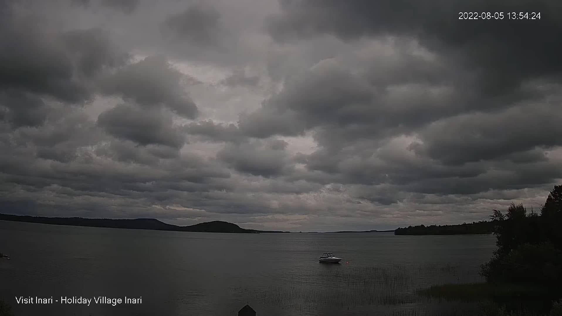
Lapland, Finland — 256 km
The current conditions and a three-day forecast are shown in the live weather block on this page. Because the plateau is exposed, wind and temperature can differ noticeably from the nearest towns.
The live local time is displayed on this page and updates automatically. Norway uses Central European time, with summer daylight saving applied.
The camera is on the plateau of Nordkapp on Magerøya in Finnmark, northern Norway, at an altitude of about 310 metres. The map on this page marks its position.
Late spring through summer gives the most daylight and clearest views of the coastline, while autumn and winter bring dramatic light and snow. Check the live view for current visibility before planning a trip.
Partner links: we may earn a commission at no extra cost to you.