Ružomberok - Malinô brdo
Žilina Region, Slovakia — 1.3 km
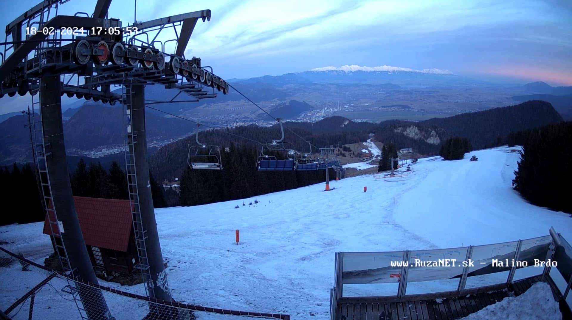
🇸🇰 Žilina Region · Slovakia — Altitude 1190 m
This live stream looks out from Malino Brdo, a hill settlement in northern Slovakia at about 1,190 metres above sea level. It is useful for checking mountain conditions, cloud cover and the state of the snow or greenery before you travel into the Low Tatras area.
Malino Brdo sits in the Žilina Region of northern Slovakia, on the ridges that rise between the Váh valley and the Low Tatras. The area is known for its forested hills, clean air and quiet villages, and it draws hikers and cross-country skiers. Its elevation means weather here can differ noticeably from the valley towns a few kilometres away.
The stream is a live video feed, and the picture depends on the view from the hill, so it is best to judge the conditions yourself as they change. Mountain cameras like this are most informative in the early morning, when valley fog and cloud layers are visible, and in winter, when snow cover and visibility matter most for travel. Check the live player at different hours to see how light and cloud move across the slopes.
Summers are mild and good for walking, while winters are cold with regular snowfall and can bring icy roads. Spring and early autumn often offer the clearest views. Nearby cameras include Ružomberok at Malinô brdo, Likavka, Liptovský Mikuláš at Tatralandia and Demänovská Dolina, which together give a broader picture of the region before you set out.
Source: Malino Brdo Webcam
Žilina Region, Slovakia — 1.3 km
Prešov Region, Slovakia — 6.3 km
Žilina Region, Slovakia — 6.9 km
Žilina Region, Slovakia — 8.1 km
Žilina Region, Slovakia — 10 km
Žilina Region, Slovakia — 14 km
Žilina Region, Slovakia — 15 km
Banská Bystrica Region, Slovakia — 18 km
Žilina Region, Slovakia — 18 km
Banská Bystrica Region, Slovakia — 19 km
The current conditions and the 3-day forecast are shown in the live weather block on this page, updated alongside the camera. Mountain weather can change quickly, so check it before a hike or drive.
The local time is displayed on this page and follows Slovakia's time zone, which is one hour ahead of UTC in winter and two hours ahead in summer.
The camera is in the hills of the Žilina Region in northern Slovakia, at about 1,190 metres altitude. The map on this page shows its exact position relative to nearby towns.
Early mornings are good for seeing fog and cloud layers, and winter is useful for checking snow conditions. Clear days in spring and autumn usually give the most distant views.
Partner links: we may earn a commission at no extra cost to you.