
Säntis - Schwägalp
Appenzell Ausserrhoden, Switzerland — 1.8 km

Säntis - Sommet du Säntis
🇨🇭 Appenzell Ausserrhoden · Switzerland — Altitude 2505 m
This live camera looks out from the summit of Mount Säntis, the highest peak of the Alpstein range in northeastern Switzerland. It is a useful window for judging mountain visibility, cloud cover and conditions at altitude before you plan a trip to the region.
Mount Säntis rises to about 2,500 metres above the Appenzell Alps, a limestone massif with steep faces and high pastures below. It is best known as a landmark of northeastern Switzerland and for the weather station and broadcast installations on its top. The surrounding landscape changes quickly with altitude, moving from green farmland in the valleys to bare rock near the summit.
Because the camera is set on a high, exposed summit, the most useful thing to watch is the sky: cloud banks rolling in, fog filling the valleys below, or clear air that opens views far across the Alpine foreland. Mornings often bring the clearest visibility, while afternoons in summer tend to build cloud. Check the live view together with the weather block on this page before judging the scene.
Summer is the main season for reaching the summit, typically from late spring to early autumn, when the cable car and paths are usually open. Winter conditions at this height can be severe with snow and wind. Nearby cameras on the Schwägalp, Wildhaus and Weissbad peaks show the surrounding ridges and may help you compare conditions across the region.
Source: roundshot.com
Appenzell Ausserrhoden, Switzerland — 1.8 km

Canton of St. Gallen, Switzerland — 4 km

Appenzell Ausserrhoden, Switzerland — 4.8 km

Appenzell Ausserrhoden, Switzerland — 6.3 km

Canton of St. Gallen, Switzerland — 6.3 km

Canton of St. Gallen, Switzerland — 7.5 km
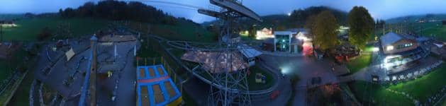
Appenzell Ausserrhoden, Switzerland — 7.9 km

Canton of St. Gallen, Switzerland — 8.2 km

Canton of St. Gallen, Switzerland — 8.4 km

Canton of St. Gallen, Switzerland — 8.7 km
The current conditions and a three-day forecast for the summit are shown in the weather block on this page. Because the peak is high and exposed, it can differ noticeably from the valleys below.
The local time for the camera is displayed on this page and follows Swiss time. Use it to plan when you watch the view.
The camera is on the summit of Mount Säntis in the Appenzell Alps of northeastern Switzerland, at roughly 2,500 metres above sea level. The map on this page marks its position.
Morning and clear summer days usually give the widest visibility. Check the live stream and the forecast together, since cloud and fog can change the view quickly at this altitude.
Partner links: we may earn a commission at no extra cost to you.