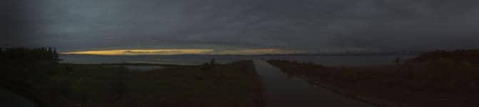
Altenrhein - Rheinspitz
Canton of St. Gallen, Switzerland — 2 km

Altenrhein - Aéroport
🇨🇭 Canton of St. Gallen · Switzerland — Altitude 397 m
This live camera looks out over Altenrhein, a small airfield on the Swiss side of the Rhine near Lake Constance. It is a useful window on regional flying activity and the open, flat landscape around the lake. Check the picture together with the weather block below to see conditions before you plan a trip.
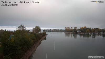
Altenrhein lies in the Canton of St. Gallen, close to where the Rhine flows into Lake Constance, the Bodensee. The area is known for its flat farmland, orchards and wetlands, with the Alpine foothills rising behind it to the south. Aviation has a long history here, and the airfield is still used for light aircraft, gliders and small business flights. The mood changes noticeably with the seasons, from misty mornings in autumn to clear, wide views in winter.
Because the title names an airport, the view is most likely centred on the airfield and its apron, runway and surrounding fields. Depending on the angle, you may see aircraft taxiing, taking off or landing, and in calm weather the lake and distant hills can be visible on the horizon. Early mornings and late afternoons often give the softest light. Fog or low cloud can hide the scene for hours, so the live weather block is a good guide before you watch.
The climate around Lake Constance is temperate, with warm summers, cool and often grey winters, and fairly even rainfall. Late spring and early autumn are typically the most pleasant times to visit. Altenrhein is small, so most visitors arrive by car or by train to nearby Rorschach or St. Margrethen. Other cameras in the region, including the Rheinspitz view in Altenrhein itself and the lake panorama from Rorschacherberg, are a short drive away.
Source: roundshot.com
Canton of St. Gallen, Switzerland — 2 km

Canton of St. Gallen, Switzerland — 3.5 km

Appenzell Ausserrhoden, Switzerland — 5 km

Appenzell Ausserrhoden, Switzerland — 5.6 km
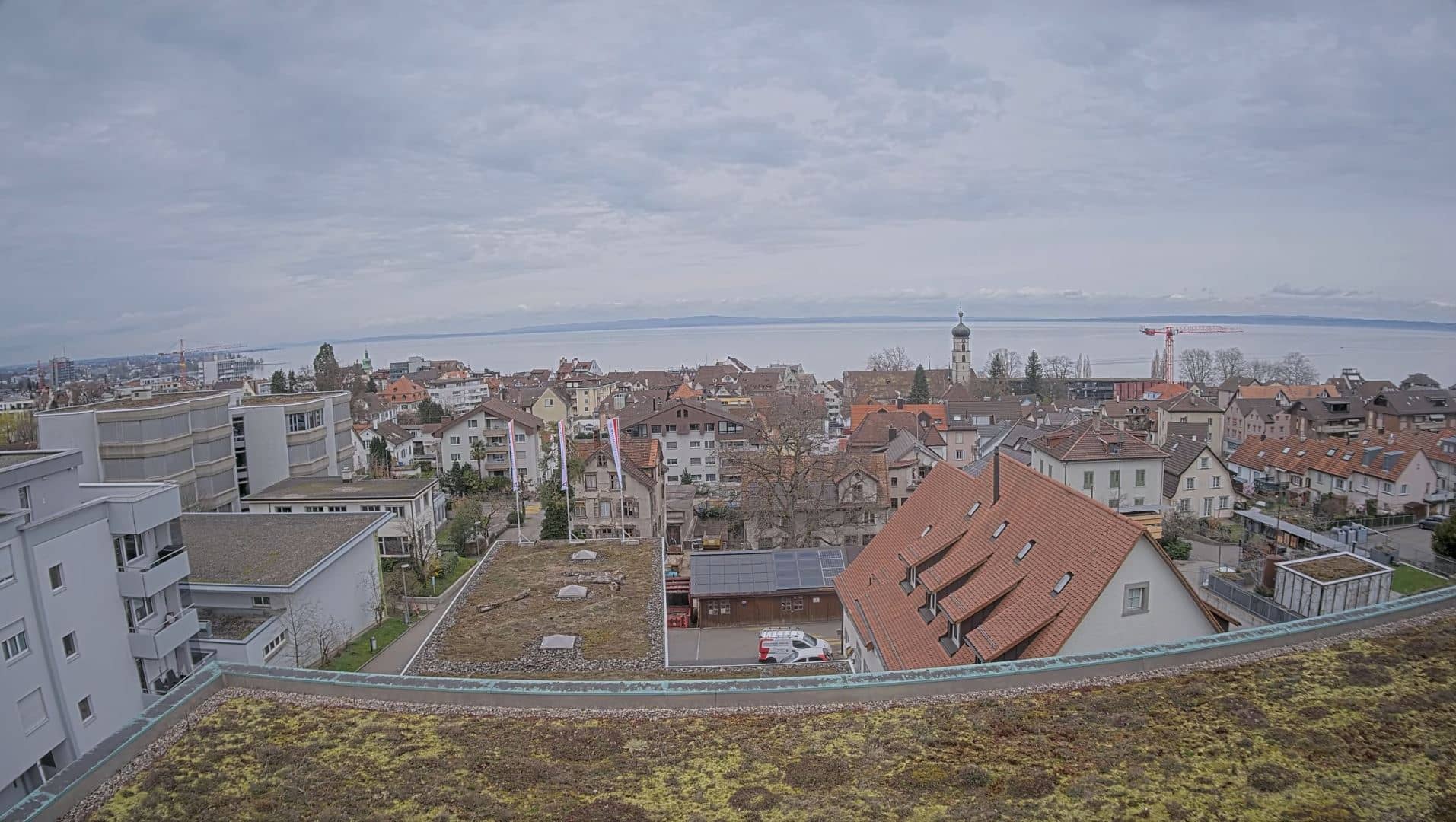
Canton of St. Gallen, Switzerland — 8.8 km
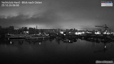
Vorarlberg, Austria — 10 km
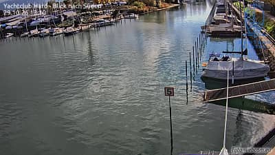
Vorarlberg, Austria — 10 km
Vorarlberg, Austria — 10 km
Vorarlberg, Austria — 16 km

Thurgau, Switzerland — 16 km
The current conditions and three-day forecast for Altenrhein are shown in the live weather block on this page. They update automatically, so you can check them before watching the camera.
The local time for Altenrhein is displayed on this page and follows Swiss time, which is the same as most of central Europe. Use the time block to see the current hour where the camera is located.
The camera is located at the Altenrhein airfield in eastern Switzerland, close to the Rhine delta where it meets Lake Constance. Coordinates and a map are shown on the page.
Clear mornings and late afternoons are often the most rewarding, when the light is good and flying activity is typically visible. Check the weather block first, since low cloud or fog can limit the view.
Partner links: we may earn a commission at no extra cost to you.