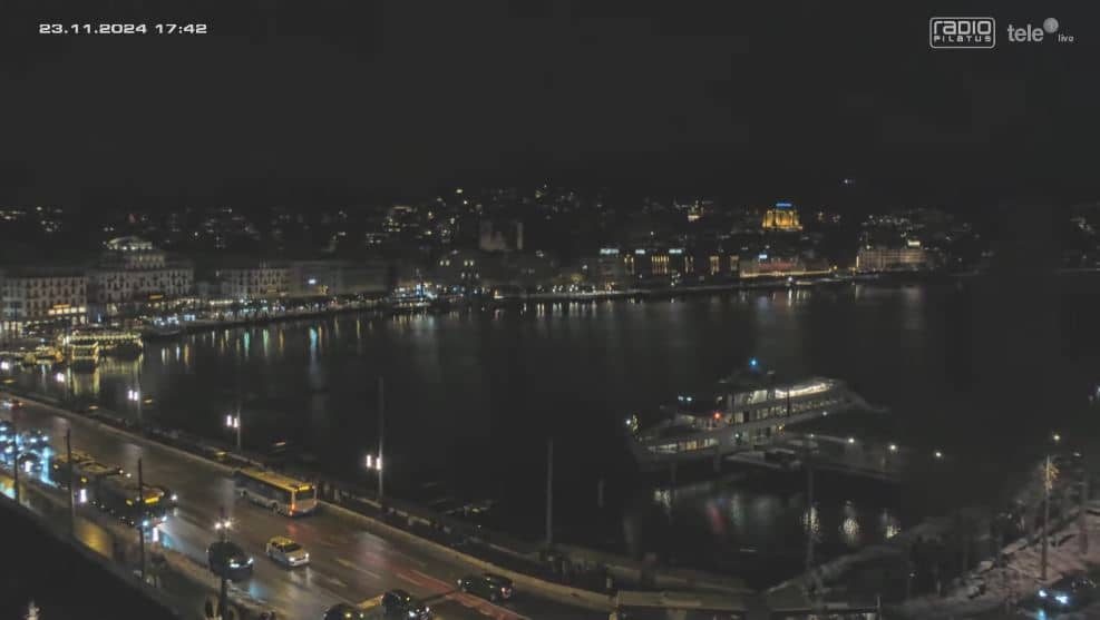
Lucerne
Nidwalden, Switzerland — 3 km

Horw - Kirchfeld
🇨🇭 Lucerne · Switzerland — Altitude 510 m
This live camera looks out over Kirchfeld in Horw, a residential village on the southern edge of Lucerne at the foot of the Pilatus range. It is useful for a quick look at the conditions above Lake Lucerne's hinterland before a trip or a walk. The live player is embedded from its source, with local time and weather shown on this page.
Horw sits on the western shore of the Lake Lucerne basin, a short distance from the city centre of Lucerne. The village lies at roughly 510 metres above sea level, where the land rises gently toward wooded hills and the Pilatus mountain to the south. Its mix of farmland, lakeside paths and the nearby university campus gives it a quieter character than the old town across the water. The surrounding Central Switzerland landscape is well known for its lakes, alpine views and dairy farming.
The camera's value lies in its open outlook over the village and the surrounding landscape, which changes noticeably with light and weather. Morning often brings clearer air and softer shadows, while late afternoon light tends to warm the hillsides. Cloud cover on the Pilatus is a good indicator of the weather trend in the area. Seasons also matter: autumn colours and winter snow are the most striking times to check the view.
Lucerne has a mild, moderately wet climate, with the warmest months from June to August and the most settled weather in late spring and early autumn. Horw is easily reached by bus or regional train from Lucerne station, and the city's lake cruises and cable car to Pilatus are close by. Other Lucerne cameras nearby include the city view, the lake view and the Hotel des Balances camera, which are useful for comparing conditions across the area.
Source: roundshot.com
Nidwalden, Switzerland — 3 km
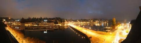
Lucerne, Switzerland — 3.3 km
Lucerne, Switzerland — 3.4 km

Lucerne, Switzerland — 3.5 km
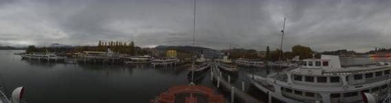
Lucerne, Switzerland — 4 km
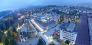
Lucerne, Switzerland — 4.4 km

Lucerne, Switzerland — 4.5 km
Lucerne, Switzerland — 5.9 km
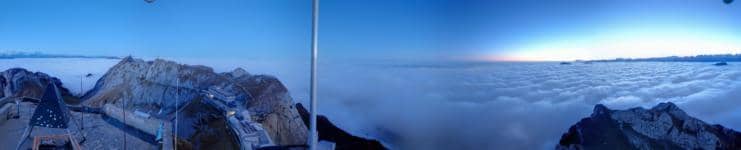
Obwalden, Switzerland — 6.5 km

Nidwalden, Switzerland — 7.5 km
The current weather and a three-day forecast for Horw are shown in the live block on this page. Conditions can differ between the village and the lake shore, so check the forecast before heading out.
The local time for Horw is displayed on this page and follows Swiss time. It updates automatically so you can see whether it is daylight at the camera location.
The camera is in Horw, a village on the southern edge of Lucerne in central Switzerland. The map on this page shows its exact position at about 510 metres above sea level.
Mornings and late afternoons usually give the most pleasant light and clearest views. Clear days in spring and autumn are good for seeing the surrounding hills and mountain outline.
Partner links: we may earn a commission at no extra cost to you.