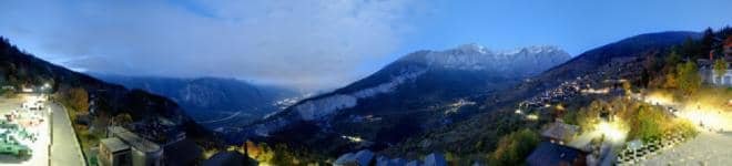
Albinen - Vue sur le village
Valais, Switzerland — 2.4 km
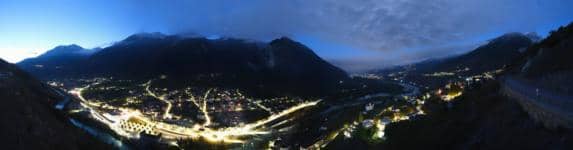
Loèche - Village
🇨🇭 Valais · Switzerland — Altitude 778 m
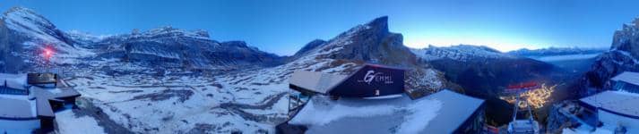
This live camera looks over the village of Leukerbad, a spa and mountain town in the Valais canton of Switzerland. It is useful for checking mountain conditions, cloud and snow before a trip, or simply watching Alpine weather roll through the valley.
Leukerbad sits at about 780 metres in the Dala valley, a side valley of the Rhone in southern Switzerland. It is known for its thermal baths, which have drawn visitors for centuries, and for the steep mountain walls rising above the village. The setting is quiet and traditional, with wooden chalets and church towers framed by high peaks and forest.
The view is best watched in clear daylight, when the surrounding slopes and their shadows are easiest to read. Morning fog in the valley, changing cloud over the peaks and seasonal snow are typical things to notice. Depending on the view, you may also see how quickly weather moves in from the west. The live image shows current conditions, so it is most useful for judging what the sky is doing right now.
Summers are mild and mostly pleasant for walking, while winters bring considerable snow and cold. Many visitors come in late spring, early autumn or winter for the baths and the surrounding trails. Nearby cameras cover Albinen, Varen, Inden and the Leukerbad torrent, giving a wider picture of the valley.
Source: roundshot.com
Valais, Switzerland — 2.4 km
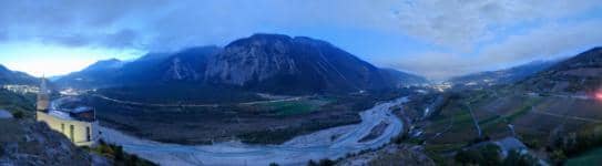
Valais, Switzerland — 2.7 km
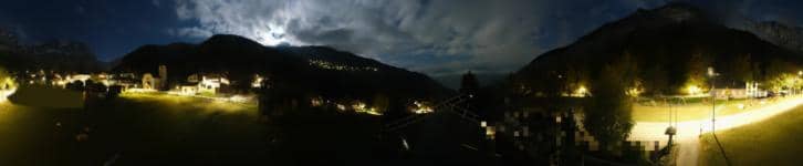
Valais, Switzerland — 3.8 km

Valais, Switzerland — 6 km
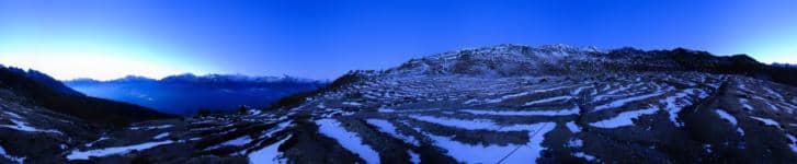
Valais, Switzerland — 7 km
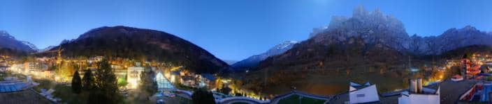
Valais, Switzerland — 7.1 km
Valais, Switzerland — 7.6 km

Valais, Switzerland — 8.3 km
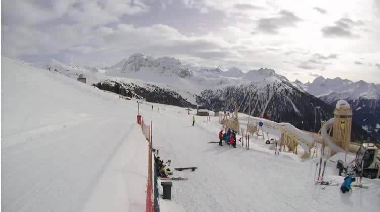
Valais, Switzerland — 9.1 km
Valais, Switzerland — 9.4 km
Current conditions and a 3-day forecast are shown in the live blocks on this page, updated with the camera view.
The local time is displayed on this page and follows the Swiss time zone, which is the same as central Europe.
The camera overlooks the village of Leukerbad in the Valais region of Switzerland, at about 778 metres above sea level. The map on this page shows its exact position.
Daylight hours give the clearest view of the valley and peaks. Watching in winter shows snow cover, while summer mornings often reveal valley fog.
Partner links: we may earn a commission at no extra cost to you.