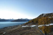
Thyon - Matze
Valais, Switzerland — 5.4 km

Sion - Aéroport
🇨🇭 Valais · Switzerland — Altitude 482 m
This live camera looks over Sion Airport, the regional airfield in the Rhône valley of Valais. It is a useful window on the weather and light in one of the sunniest corners of Switzerland, and a quick way to see conditions before travelling into the mountains.
Sion is the capital of the canton of Valais, sitting on the floor of the Rhône valley at roughly 480 metres above sea level. The town is flanked by steep vineyards on the south-facing slopes and by high Alpine ridges on both sides. The valley is one of the driest parts of Switzerland, which gives the landscape its open, sunlit character and its well-known wines, especially Fendant and Pinot Noir.
The camera is aimed at the airport, so its value lies in the sky and the valley around it. Depending on the view, you may see clear morning light, cloud building over the mountains in the afternoon, or fog settling in the valley bottom in cold seasons. Watching at different times of day shows how quickly the valley weather can change, and the live local time on this page helps you match what you see to the hour.
Valais has a continental climate with warm summers and cold, relatively dry winters, so visits are pleasant from late spring to early autumn and the ski season runs from December into spring. Sion is well connected by rail along the valley. Other VizCams views in the area include Thyon Matze, Veysonnaz Sommet de la piste de l'Ours, Thyon Trabanta and Thyon Snowpark, all within about six kilometres.
Source: roundshot.com
Valais, Switzerland — 5.4 km

Valais, Switzerland — 5.4 km

Valais, Switzerland — 5.6 km

Valais, Switzerland — 6.1 km

Valais, Switzerland — 7 km
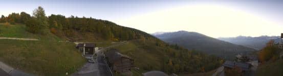
Valais, Switzerland — 7.6 km

Valais, Switzerland — 8.2 km

Valais, Switzerland — 9.2 km

Valais, Switzerland — 9.3 km

Valais, Switzerland — 9.6 km
The current conditions and the three-day forecast for Sion are shown in the live weather block on this page, updated as the page loads. They reflect the valley location of the airport.
The local time for Sion is displayed on this page and follows Swiss time, which is one hour ahead of UK time in winter and matches Central European Time.
The camera is at the Sion airfield in the canton of Valais, at about 482 metres altitude in the Rhône valley. The map on this page shows its exact position.
Clear mornings and late afternoons are often the most interesting, when light is strong and mountain clouds form. Check the live view at different hours to see how the valley weather develops.
Partner links: we may earn a commission at no extra cost to you.