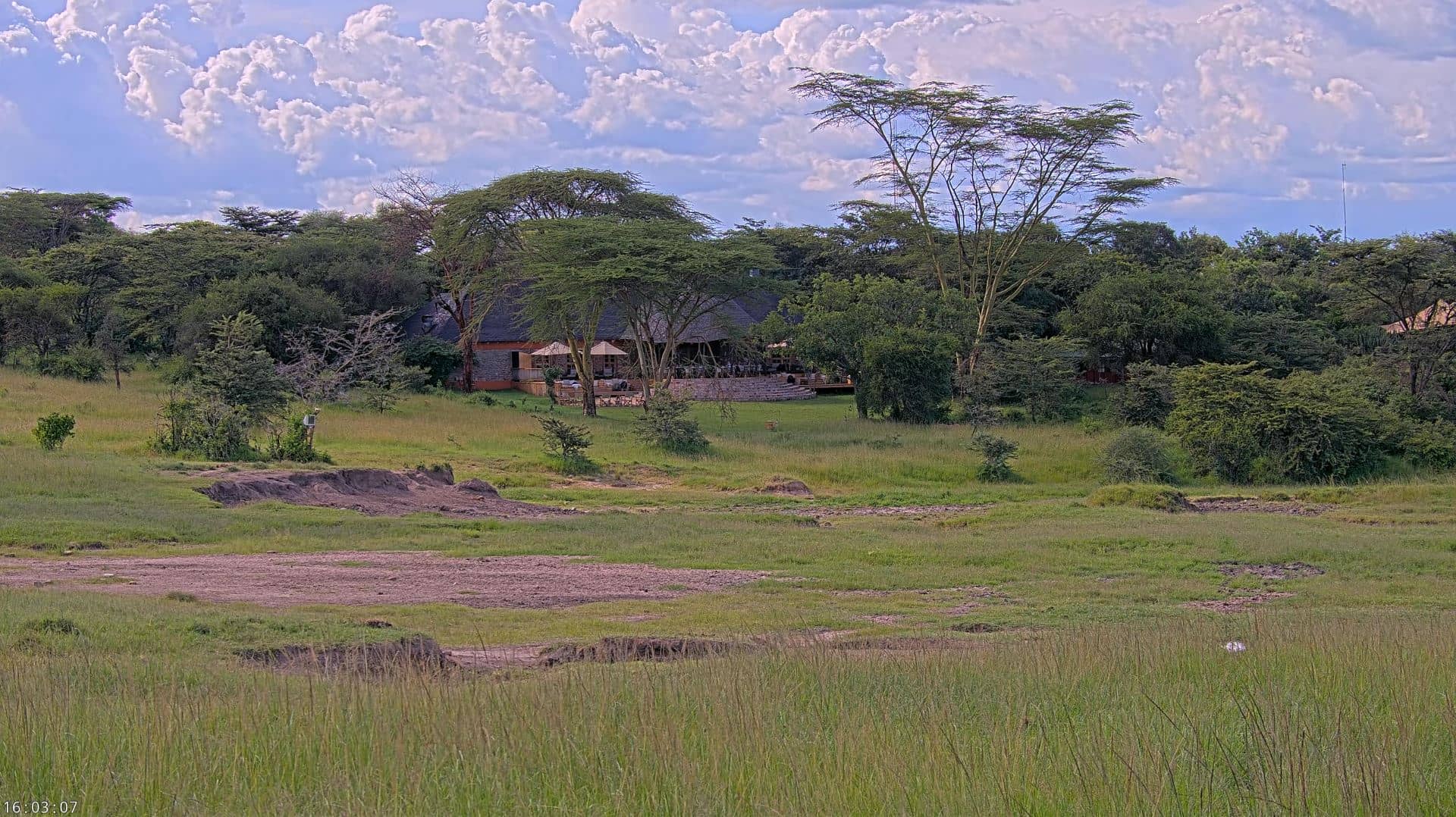
Mara Simba
Nairobi, Kenya — 192 km
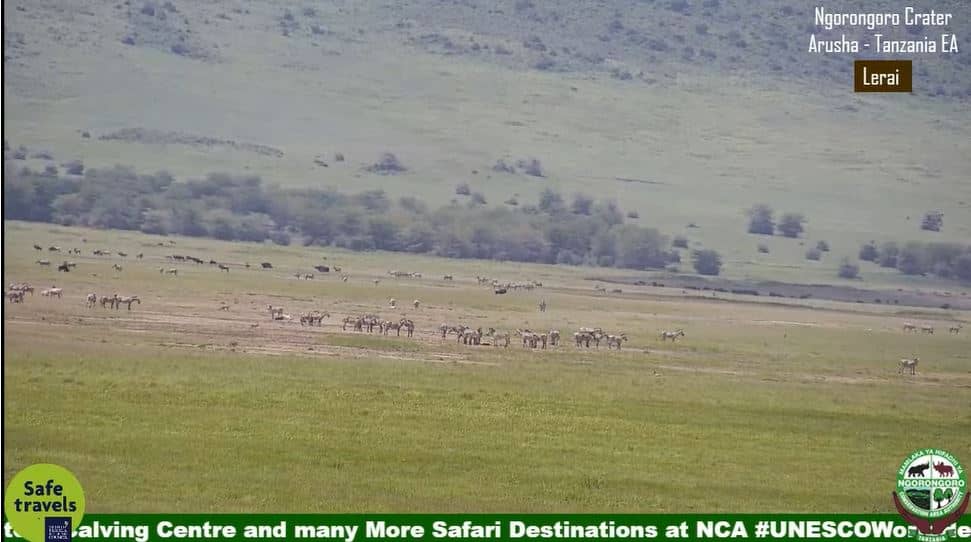
🇹🇿 Arusha Region · Tanzania — Altitude 2498 m
This live camera looks toward Ngorongoro in northern Tanzania, a highland area on the edge of a vast volcanic crater. Watch it to get a sense of the weather and light over this high-altitude landscape before planning a visit or simply following the view from afar.
Ngorongoro sits at roughly 2,500 metres above sea level in the Arusha Region. The area is best known for the Ngorongoro Conservation Area, centred on a large collapsed volcano whose crater floor holds grasslands, lakes and a dense concentration of wildlife. The surrounding highlands are cooler than the plains below, and the air often feels fresh and clear, with wide views across the rim.
The camera's title names Ngorongoro, so the view is likely to show this highland landscape rather than a specific building or street. Depending on the angle, you may see grassland, cloud moving over the rim, or changing light through the day. Early mornings and late afternoons are often the most atmospheric, when mist and low sun bring out the texture of the terrain. Conditions can change quickly at altitude, so the live view is useful for checking cloud cover.
Ngorongoro has a temperate highland climate, with cooler nights than the lowlands, and the drier months from June to October are generally considered the most comfortable for travel. Reaching the area usually involves road travel from Arusha or nearby towns. Other cameras in the wider region show the Mara Simba area about 192 km away and the Siana ward in Masai Mara, Kenya, about 197 km away.
Source: Ngorongoro Conservation Area
Nairobi, Kenya — 192 km
Narok County, Kenya — 197 km
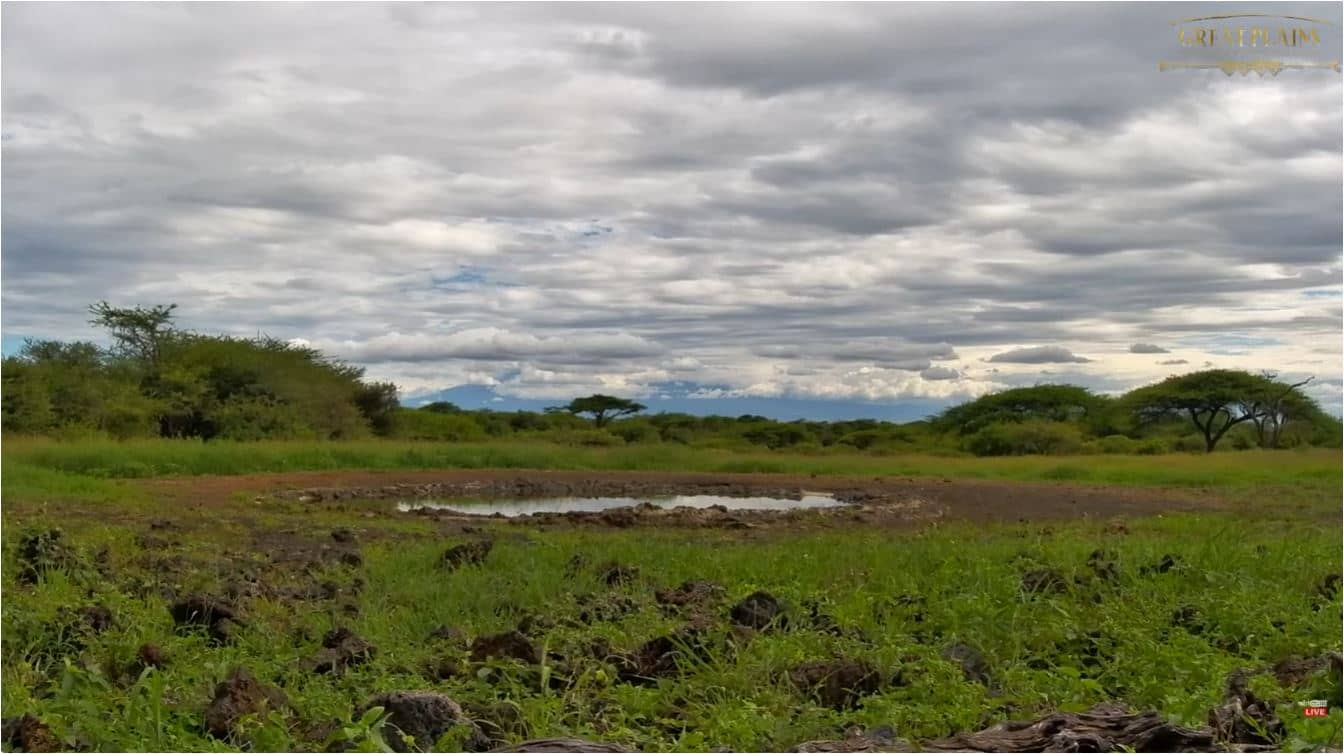
Makueni County, Kenya — 269 km
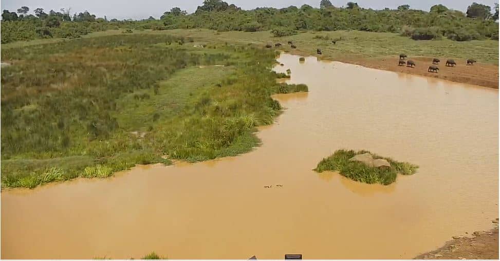
Nyandarua County, Kenya — 354 km

Laikipia, Kenya — 423 km
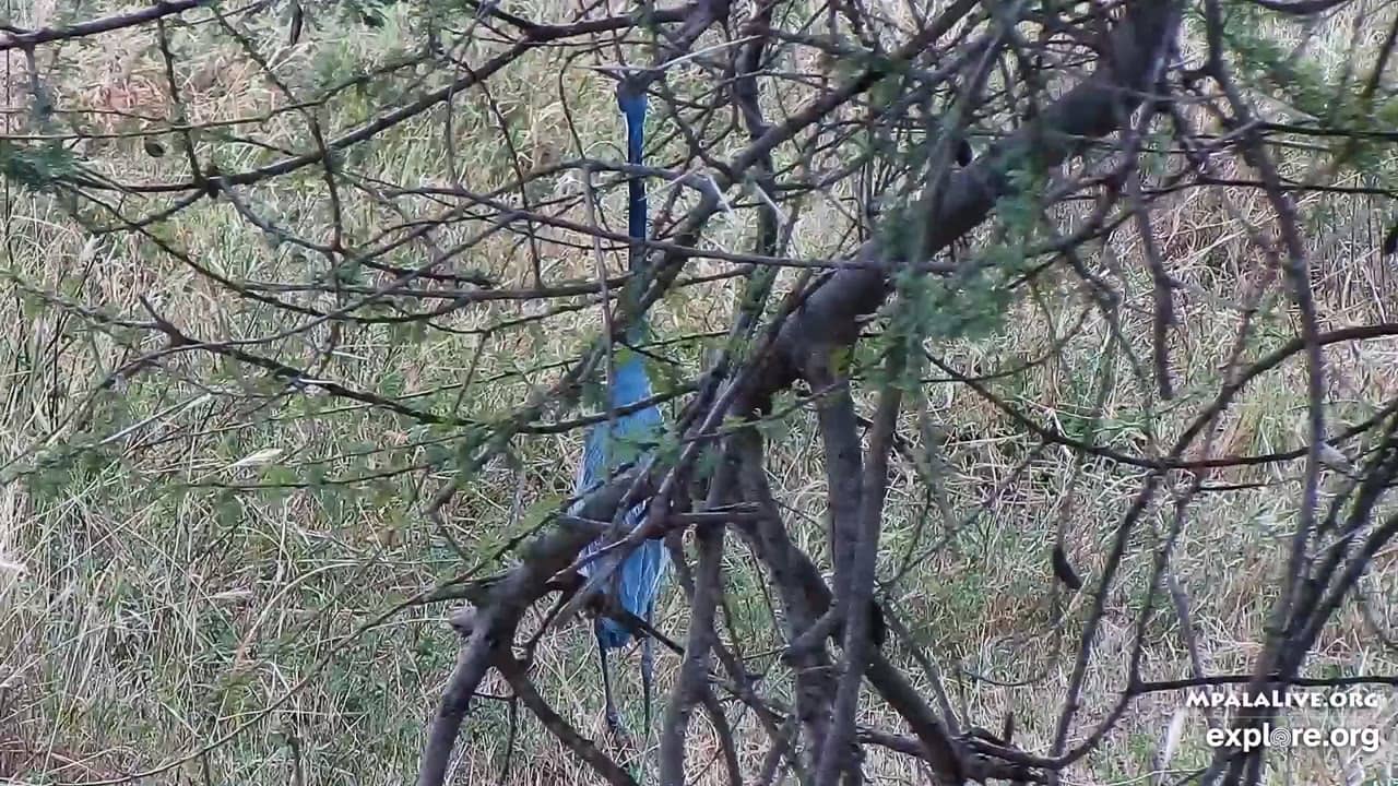
Laikipia, Kenya — 423 km
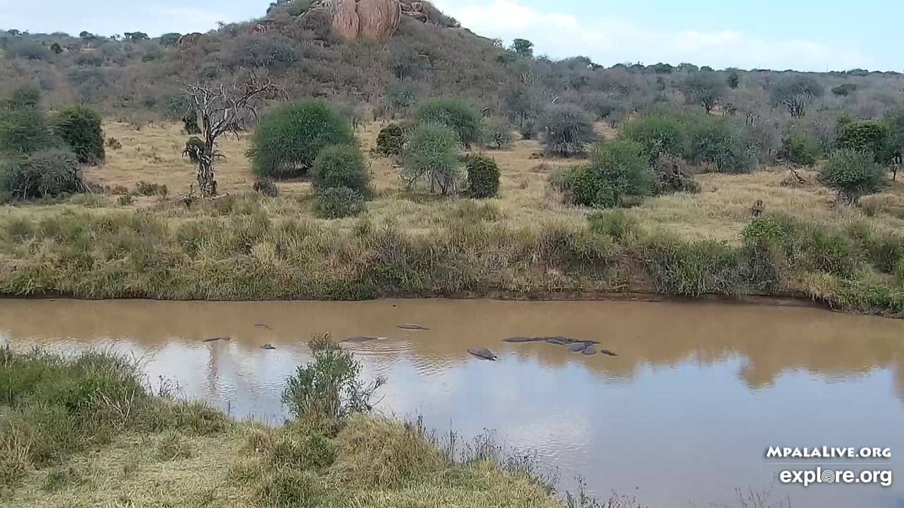
Laikipia, Kenya — 423 km
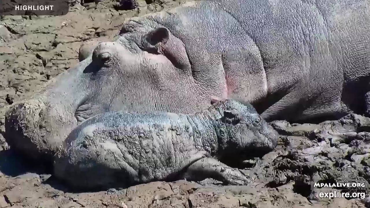
Laikipia, Kenya — 423 km
Laikipia, Kenya — 446 km

Kwale, Kenya — 474 km
Current conditions and a three-day forecast for Ngorongoro are shown in the live weather block on this page. Because the area sits at high altitude, temperatures can differ noticeably from those in nearby lowland towns.
The local time for Ngorongoro is shown in the live clock on this page. Tanzania uses East Africa Time, which is three hours ahead of UTC.
The camera is located in the Ngorongoro area of the Arusha Region in northern Tanzania, at about 2,498 metres altitude. The map on this page shows its position relative to nearby towns and parks.
Early morning and late afternoon often bring the most dramatic light and mist over the highlands. Checking the live view before sunrise or during the dry season from June to October can give a good sense of typical conditions.
Partner links: we may earn a commission at no extra cost to you.