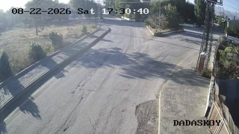
Çiftlik - Çıkış
Erzurum, Türkiye — 0 km

The camera is temporarily offline
The owner's stream is not available right now. Try again later or watch a camera nearby.
Çiftlik - Çevre Yolu Çıkış
🇹🇷 Erzurum · Türkiye — Altitude 1830 m
This live stream follows the ring road exit in Çiftlik, a district of Erzurum province in eastern Anatolia. It is useful for anyone checking traffic flow or road conditions on the approach to the city from the mountain side. The stream is set in a high-altitude landscape where weather can change quickly.
Çiftlik sits at about 1,830 metres above sea level in the Erzurum region, one of the highest inhabited plateaus in Turkey. The area is known for open steppe, mountain ridges and long, cold winters. Erzurum itself is a major city of the east, historically a crossroads on trade and pilgrim routes. The landscape around the exit is shaped by this plateau character, with wide horizons and clear air.
The camera is aimed at a road junction, so the main subject is vehicle movement and the surrounding roadway. Depending on the view, you may also see the slopes and skyline beyond. Mornings and late afternoons are often the most interesting, when light is low and snow or fog on the hills becomes more visible. In winter, the stream can help you judge whether roads are clear.
Erzurum has a continental climate with cold, snowy winters and short, mild summers, so the best time to visit the region is generally from June to September. Altitude means nights stay cool even in summer. Other cameras in Çiftlik cover the main entrance, the exit and the ring road entrance, while the Dadaşköy entrance lies about four kilometres away, making it easy to compare conditions across the district.
Source: canliyayin.yakutiye.bel.tr
Erzurum, Türkiye — 0 km
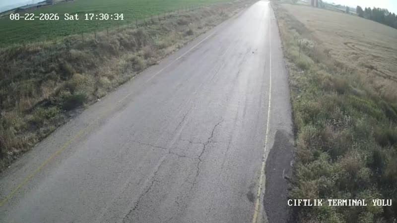
Erzurum, Türkiye — 0 km

Erzurum, Türkiye — 0 km
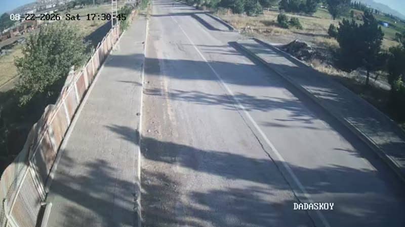
Erzurum, Türkiye — 3.8 km
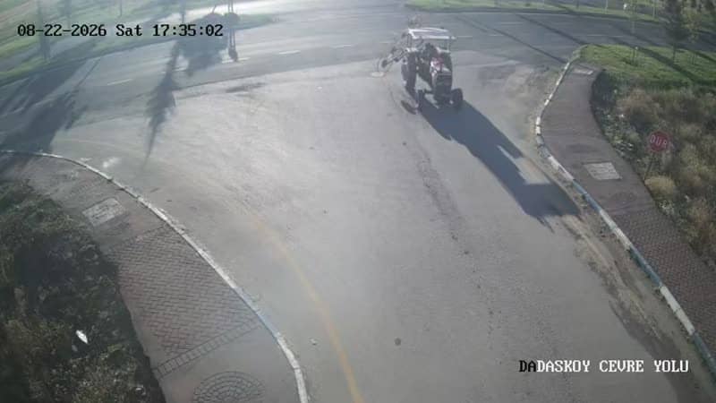
Erzurum, Türkiye — 3.8 km
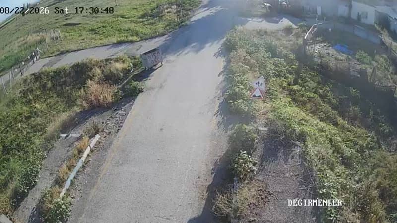
Erzurum, Türkiye — 3.8 km
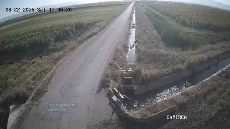
Erzurum, Türkiye — 5 km
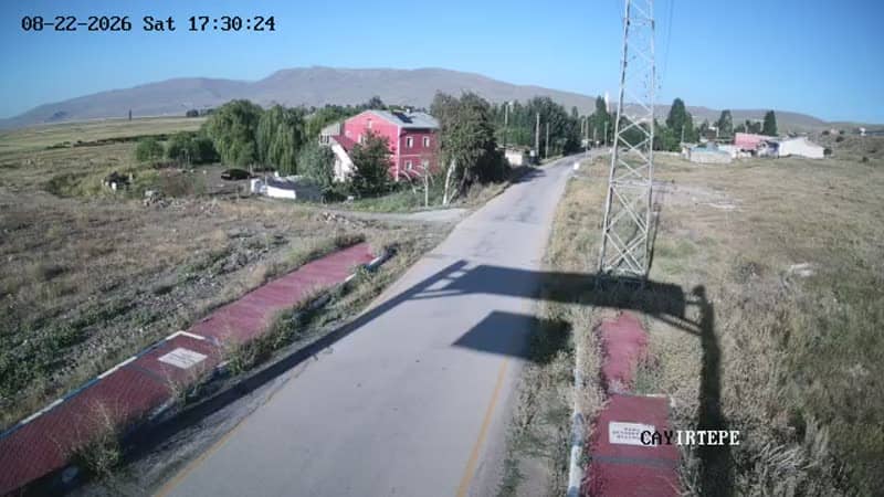
Erzurum, Türkiye — 5 km

Erzurum, Türkiye — 5.2 km

Erzurum, Türkiye — 5.2 km
The current conditions and a 3-day forecast for Çiftlik are shown in the weather block on this page. Because the town is at high altitude, temperatures can differ noticeably from those in Erzurum city.
The local time for Çiftlik is displayed on this page and updates automatically. It follows Turkey's local time, so check the clock block if you are planning a call or a visit.
The camera is at the ring road exit in Çiftlik, Erzurum province, at roughly 1,830 metres altitude. The map on this page marks its position so you can find the junction easily.
Daylight hours give the clearest picture, and winter mornings or evenings can show snow and fog on the surrounding hills. Check the stream during bad weather to see how the road is holding up.
Partner links: we may earn a commission at no extra cost to you.