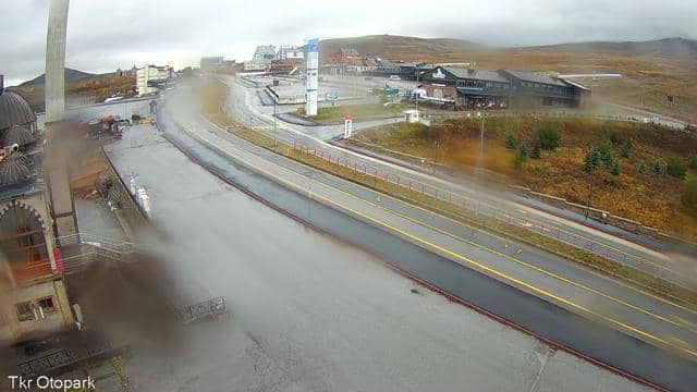
Kayseri - Tören Alanı
Kayseri, Türkiye — 0.4 km
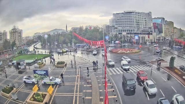
Kayseri - Düvenönü 1
🇹🇷 Kayseri · Türkiye — Altitude 1050 m
This camera looks over Kayseri from the Düvenönü area, a live image refreshed regularly by the Kayseri municipality. It is useful for seeing how the city and the surrounding mountains look right now, before planning a visit or simply keeping an eye on conditions.
Kayseri sits on the Anatolian plateau at roughly 1,050 metres, in the central part of Türkiye. The city is closely tied to Mount Erciyes, a large volcanic massif to the south that is visible from many parts of town and is known for its winter skiing. Kayseri has a long history as a caravan and trade town on routes crossing Anatolia, and its old quarters, mosques and madrasas reflect that past.
The title points to a view from the Düvenönü district, so the frame is most likely to take in urban rooftops, streets and the hills or mountain line beyond the city. Light and visibility change a great deal through the day and across seasons. Mornings and late afternoons often bring the clearest contrast, while clouds or haze can hide distant ridges. Snow on the mountains is a common sight in winter.
Kayseri has a continental climate with cold, snowy winters and warm, dry summers, so late spring and early autumn are generally the most comfortable times to visit. Several other Kayseri cameras are listed nearby on this page, including views at Mehmet Şafak Yaşam Parkı, Tören Alanı and the Hunat Camii and Medresesi, which can help you compare conditions across the city.
Source: izle.kayseri.bel.tr
Kayseri, Türkiye — 0.4 km
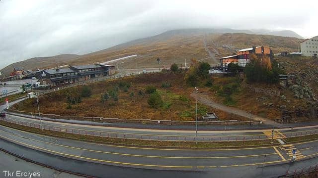
Kayseri, Türkiye — 0.4 km
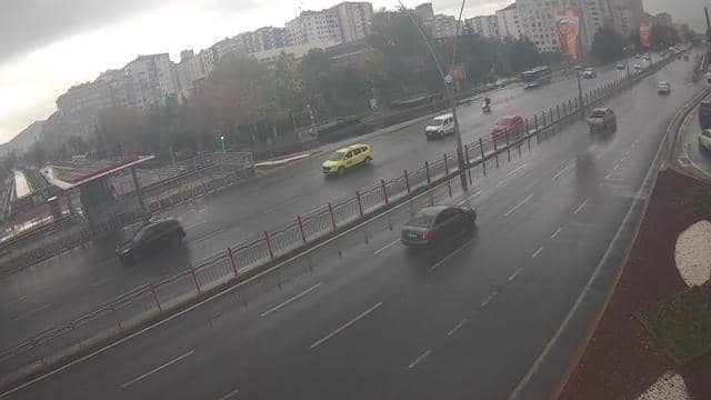
Kayseri, Türkiye — 0.4 km
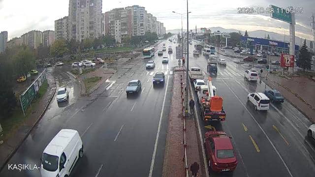
Kayseri, Türkiye — 0.6 km
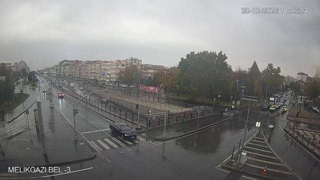
Kayseri, Türkiye — 0.9 km
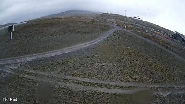
Kayseri, Türkiye — 2.4 km
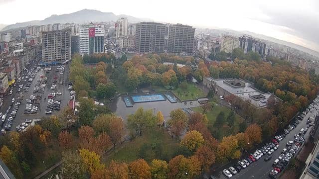
Kayseri, Türkiye — 3.1 km
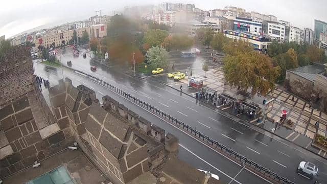
Kayseri, Türkiye — 4.2 km
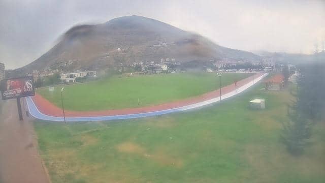
Kayseri, Türkiye — 4.4 km
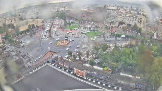
Kayseri, Türkiye — 8.8 km
The current conditions and the three-day forecast for Kayseri are shown in the live weather block on this page. They update with the page, so check there for the latest temperature and sky conditions.
The local time for Kayseri is shown on this page and follows Turkey's local clock. Use the live time block to see the current hour before deciding when to watch the view.
The camera is in the Düvenönü area of Kayseri at about 1,050 metres altitude. The map on this page marks its position within the city, and nearby cameras are listed for comparison.
Clear mornings and late afternoons usually give the most detail and contrast. In winter, snow on the surrounding mountains can make the view especially striking when skies are clear.
Partner links: we may earn a commission at no extra cost to you.