Çaykara - Centre-ville
Trabzon, Türkiye — 6.7 km
Dernekpazarı - Vue panoramique
🇹🇷 Trabzon · Türkiye — Altitude 350 m
This live camera looks out over Dernekpazarı, a small town in the hills of Trabzon province on Türkiye's Black Sea coast. Its panoramic framing makes it a useful way to judge the mountain weather before you travel or to check how the town looks right now.
Dernekpazarı sits inland from the Black Sea in the Eastern Black Sea region, at roughly 350 metres above sea level. The landscape is shaped by steep valleys, forested slopes and tea and hazelnut terraces typical of the area. The town is a quiet market centre serving surrounding villages, and its character is set by the river valleys and the green hills rising around it.
Because the view is panoramic, the most telling things are the cloud cover on the ridges, mist moving through the valleys and how green the slopes look through the seasons. Mornings often bring low cloud or fog in the valleys, which tends to lift as the day warms. Late spring and summer usually show the greenest scenes, while autumn brings changing leaves on the hillsides.
The Eastern Black Sea coast has a notably wet, mild climate with rain possible in every month, so pack layers and waterproofs. Late spring through early autumn is generally the most comfortable time to visit. Nearby cameras cover Çaykara, Köprübaşı, Hayrat and Of, which can help you compare conditions across the valleys.
Source: trabzon.bel.tr
Trabzon, Türkiye — 6.7 km
Trabzon, Türkiye — 10 km
Trabzon, Türkiye — 14 km
Trabzon, Türkiye — 16 km
Trabzon, Türkiye — 21 km
Trabzon, Türkiye — 32 km
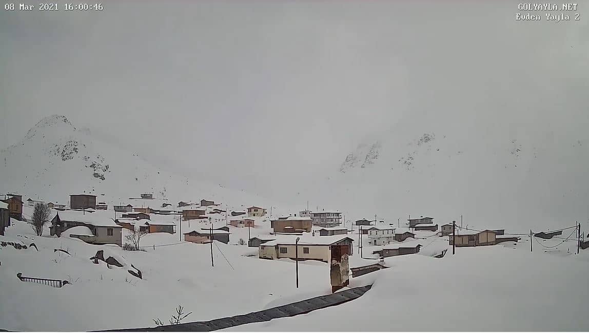
Rize, Türkiye — 36 km
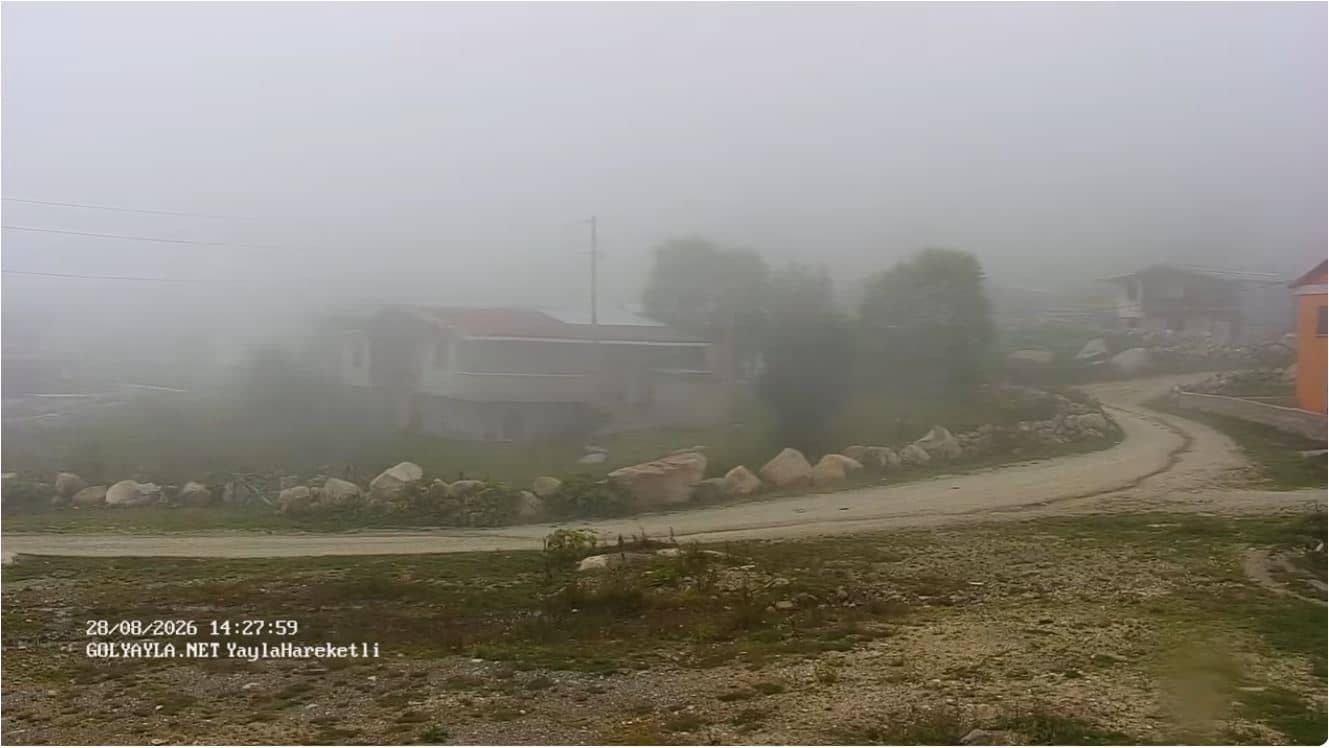
Rize, Türkiye — 36 km
Trabzon, Türkiye — 47 km
Trabzon, Türkiye — 48 km
The current conditions and a three-day forecast for Dernekpazarı are shown in the live weather block on this page, updated automatically alongside the camera.
The local time for Dernekpazarı is displayed on this page, based on Türkiye's time zone, so you can see the current time there at a glance.
The camera is in Dernekpazarı, Trabzon province, at about 350 metres altitude. The map on this page shows its position in the Eastern Black Sea region.
Daylight hours show the most detail, and mornings often reveal valley mist. Watching across different seasons shows the changing greenery and cloud patterns of the region.
Partner links: we may earn a commission at no extra cost to you.