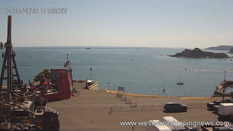
Plymouth - Shipping
Devon, United Kingdom — 0.8 km
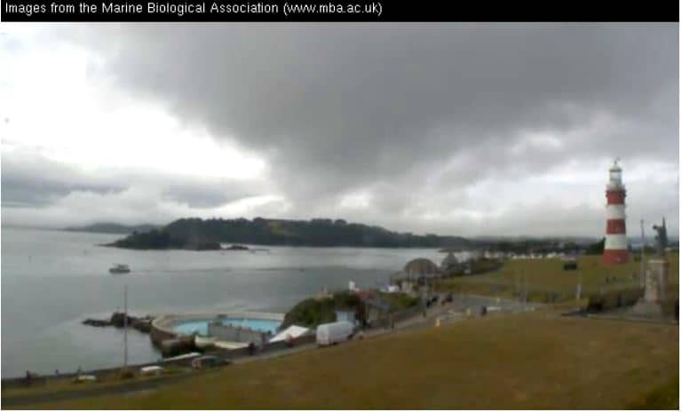
Plymouth
🇬🇧 Devon · United Kingdom — Altitude 17 m
This live stream looks out over Plymouth in Devon, a city shaped by its sea-facing harbour and naval history. It is useful for checking how the water and sky look before you head to the coast. The page also gives you the local time and a three-day forecast.
Plymouth sits on the south coast of Devon, where the River Plym and River Tamar meet the English Channel. Its harbour and the wide Sound have long made it a centre for shipping, the navy and marine research. The Marine Biological Association is based here, and the coastline combines working docks with quieter bays and cliffs.
The view is most rewarding when there is some movement on the water, such as ships entering or leaving, ferries crossing, or small boats in the bays. Mornings and late afternoons often bring softer light on the harbour. Clear, windy days make it easier to judge conditions at sea, while fog or low cloud can hide the far shore.
Plymouth has a mild maritime climate, with cool winters, warm summers and rain at any time of year, so layers help if you plan to visit. Spring and early autumn are pleasant for walking the waterfront. Nearby cameras cover Bovisand Bay and the shipping area, and Looe in Cornwall is a short drive west along the coast.
Source: Marine Biological Association
Devon, United Kingdom — 0.8 km
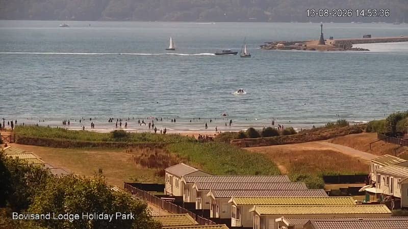
Devon, United Kingdom — 0.8 km

Cornwall, United Kingdom — 22 km
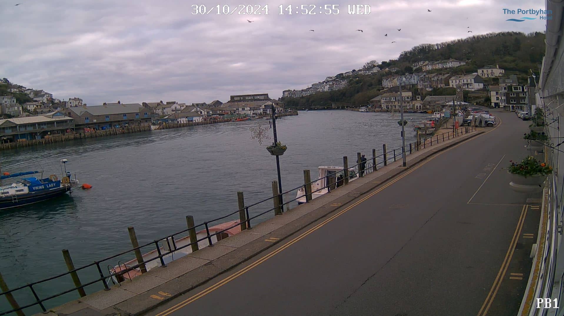
Cornwall, United Kingdom — 23 km
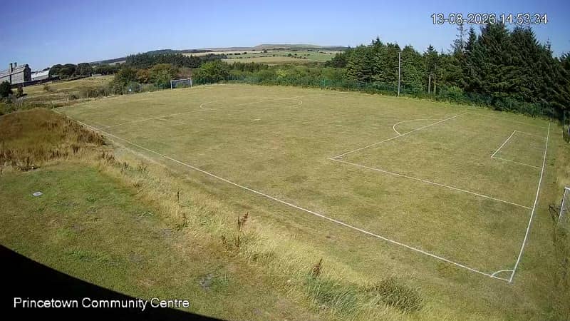
Devon, United Kingdom — 23 km
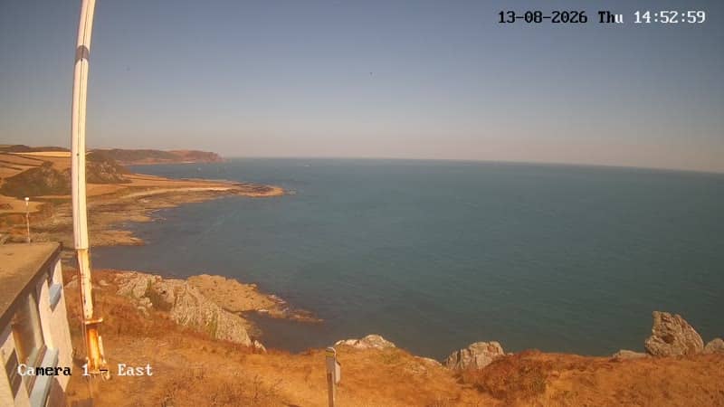
Devon, United Kingdom — 27 km

Devon, United Kingdom — 27 km
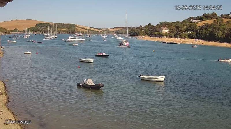
Devon, United Kingdom — 30 km
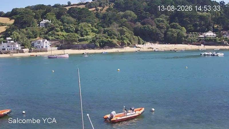
Devon, United Kingdom — 30 km

Devon, United Kingdom — 30 km
The current conditions and a three-day forecast for Plymouth are shown in the weather block on this page, updated as the page loads.
The local time for Plymouth is displayed on this page. It follows UK time, switching between GMT and British Summer Time through the year.
The camera is in Plymouth, Devon, on the south coast of England at about 50.36 north and 4.14 west, with the map on this page showing its position.
Daylight hours show the harbour most clearly, and busy periods with ships or ferries are usually the most interesting. Check the stream for current visibility, since weather can change quickly.
Partner links: we may earn a commission at no extra cost to you.