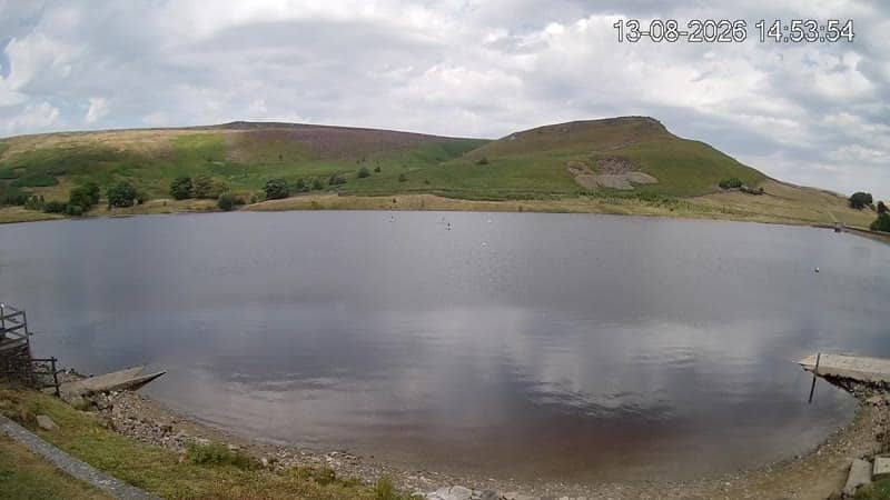
Skipton - Live
North Yorkshire, United Kingdom — 25 km
Leeds - Aéroport
🇬🇧 Yorkshire and the Humber · United Kingdom — Altitude 200 m
This live stream looks out over Leeds Bradford Airport, the main gateway for flights to and from the Leeds and Bradford area in West Yorkshire. It suits anyone curious about regional air traffic, planning a trip to Yorkshire, or waiting for a flight to land. Local time, weather and a map sit alongside the player.
Leeds Bradford Airport sits on high ground to the north-west of Leeds, roughly 200 metres above sea level, with the Yorkshire Dales rising to the north and west. Leeds itself is a large city with a long industrial and textile past, now known for its universities, shopping and a lively arts and food scene. The surrounding countryside of stone villages and moorland begins only a short drive away.
The camera is most useful for following the flow of aircraft on approach and departure, which depends on the schedule and the wind direction. Daytime gives the clearest view. Low cloud, rain and winter haze are common in this part of England and can soften the picture, so the live weather panel helps explain what you are seeing. Activity tends to build through the morning and early evening.
Leeds has a temperate maritime climate, with mild summers and cool, wet winters, so layers and a waterproof are sensible for any visit. The airport is well connected by bus to Leeds city centre and Bradford. Nearby on VizCams you can view the Skipton live camera about 25 km away, the Grimwith Reservoir view about 28 km away, and a Ribble Valley stork nest camera about 44 km distant.
Source: Leeds LBA
North Yorkshire, United Kingdom — 25 km
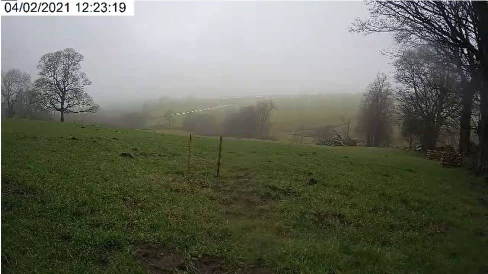
North Yorkshire, United Kingdom — 28 km

North Yorkshire, United Kingdom — 28 km

England, United Kingdom — 44 km
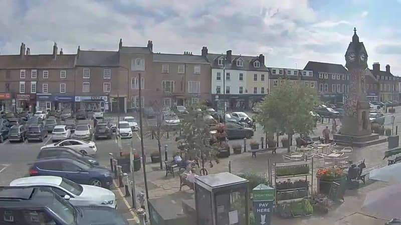
North Yorkshire, United Kingdom — 46 km
England, United Kingdom — 46 km
Yorkshire, United Kingdom — 49 km
South Yorkshire, United Kingdom — 49 km
Merseyside, United Kingdom — 52 km
England, United Kingdom — 61 km
The current conditions and a three-day forecast for the airport are shown in the weather panel on this page, updated automatically. Check it before heading out, as conditions in this part of Yorkshire can change quickly.
The local time for the airport is displayed on the page and follows the UK clock, switching between GMT and British Summer Time through the year. The time updates live alongside the video.
The camera is at Leeds Bradford Airport, north-west of Leeds city centre in West Yorkshire, at an elevation of about 200 metres. The map on the page shows its position and the surrounding area.
Daytime hours give the clearest picture and the most movement, particularly during the morning and early evening when flights are often busiest. Clear weather with light winds makes aircraft easiest to follow.
Partner links: we may earn a commission at no extra cost to you.