Farmerville - Lake D'Arbonne
Louisiana, United States — 56 km
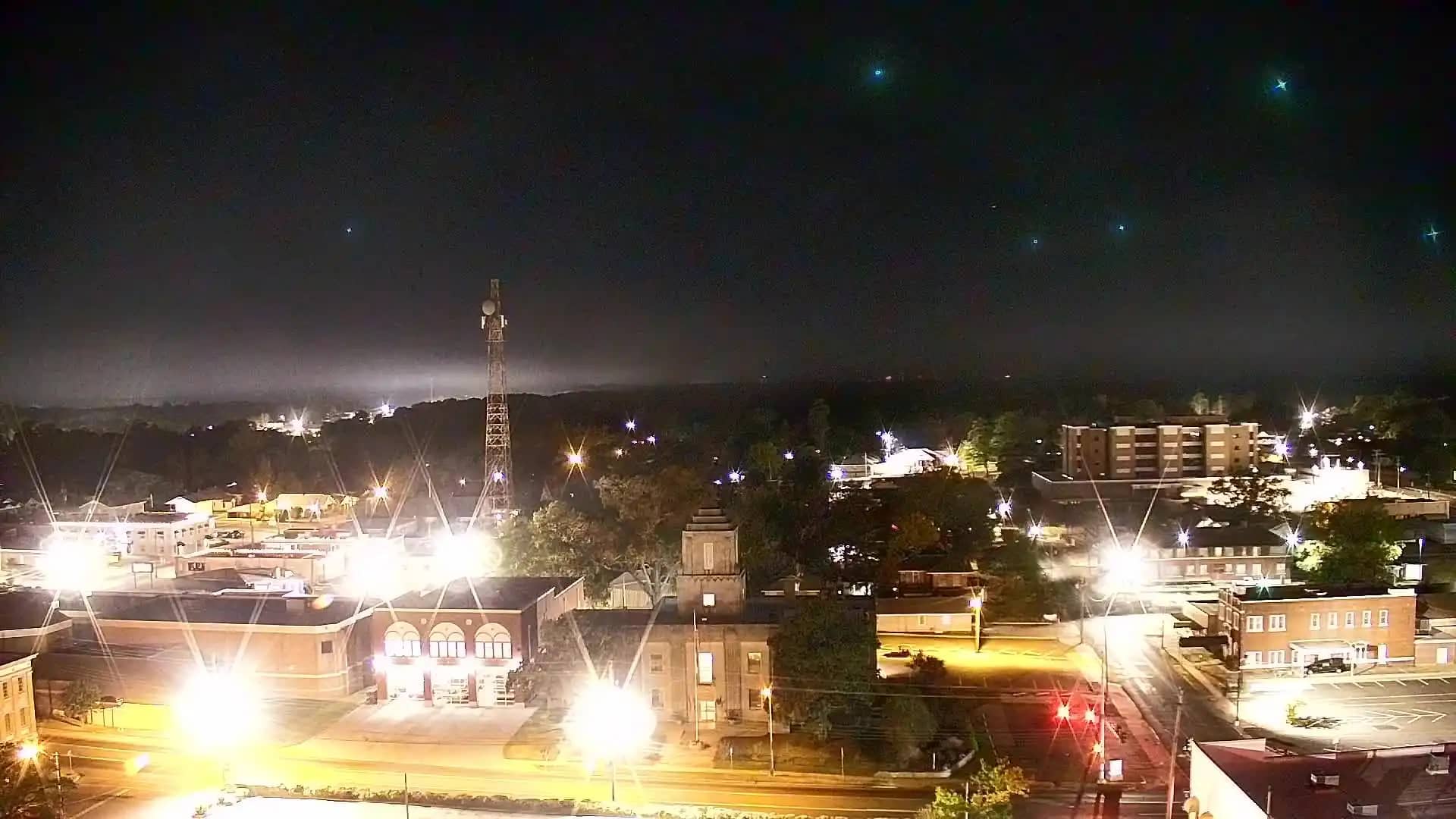
El Dorado
🇺🇸 Arkansas · United States — Altitude 82 m
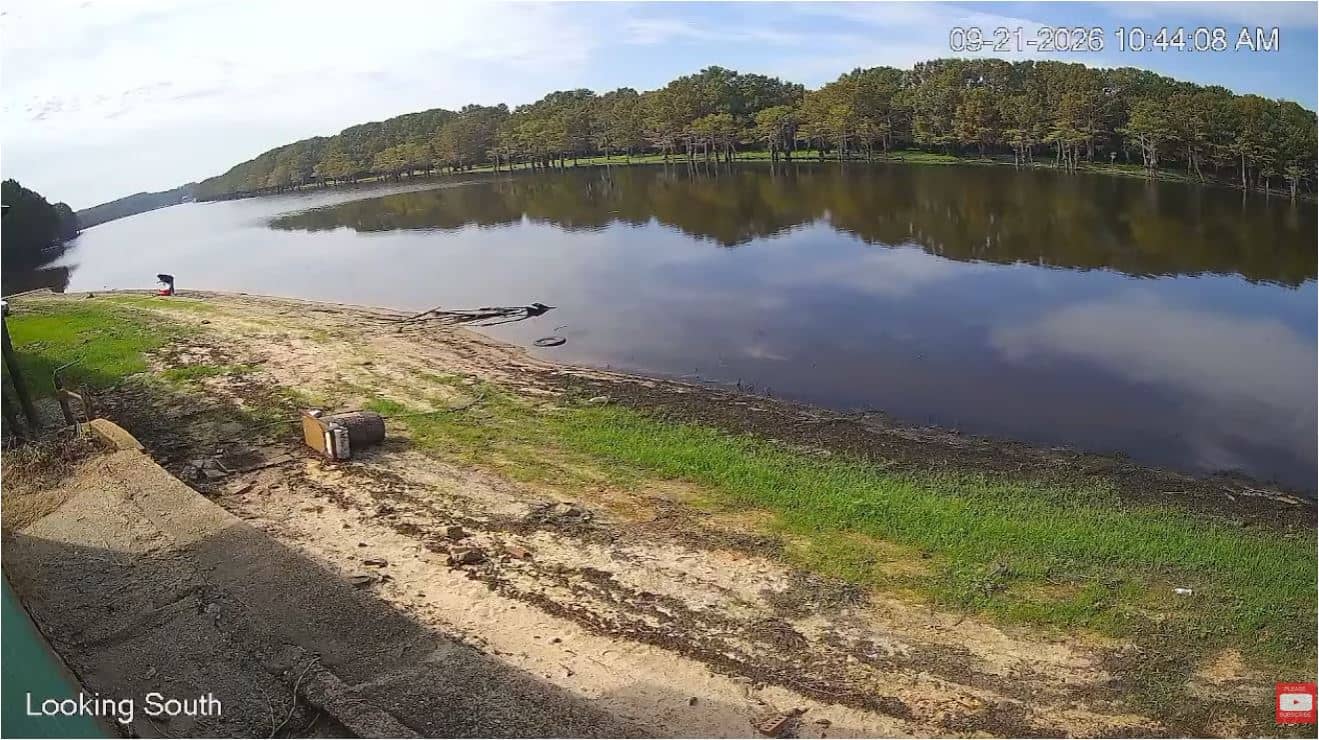
This live camera looks out over El Dorado, a small city in south Arkansas close to the Louisiana border. Use it to get a sense of the sky and conditions here before you travel or simply to keep an eye on the local weather. The page also shows the local time and a forecast for the next three days.
El Dorado sits on the Gulf Coastal Plain, where the land is flat to gently rolling and pine forests and farmland stretch across the countryside. The city grew around the oil industry in the early twentieth century and is still an important business and energy hub for the region. Its surroundings are quiet and wooded, with many small lakes and creeks nearby. The atmosphere is that of a working southern town rather than a tourist centre.
Because the title is simply the town name, the exact view depends on where the camera is pointed, so check the live player when you open the page. In general, watching a view like this is most useful for following the sky: clear mornings, afternoon cloud build-up and summer thunderstorms are typical for the area. Sunrise and late afternoon usually bring the most readable light and colour. Conditions change quickly in spring and early summer, so refreshing the page is worthwhile.
El Dorado has a humid subtropical climate with hot, muggy summers and mild winters, and spring and autumn are generally the most comfortable seasons to visit. Heavy rain and storms are common in spring. The city is reached mainly by car. Nearby cameras on this site include Farmerville at Lake D'Arbonne, Crossett, Ruston and Hamburg, which can help you compare conditions across the region.
Source: hazcams.com
Louisiana, United States — 56 km
Arkansas, United States — 66 km
Louisiana, United States — 76 km

Arkansas, United States — 80 km
Louisiana, United States — 91 km
Louisiana, United States — 92 km
Louisiana, United States — 93 km
Arkansas, United States — 93 km
Arkansas, United States — 93 km
Louisiana, United States — 105 km
The current conditions and the three-day forecast are shown in the weather block on this page, and they update automatically while you are viewing it.
The local time for El Dorado is displayed on this page, using the Central time zone that applies to south Arkansas.
The camera is in El Dorado in Union County, south Arkansas, and the map on this page shows its position.
Early morning and late afternoon usually offer the clearest light, while spring and summer are the seasons when storms and changing skies are most often visible.
Partner links: we may earn a commission at no extra cost to you.