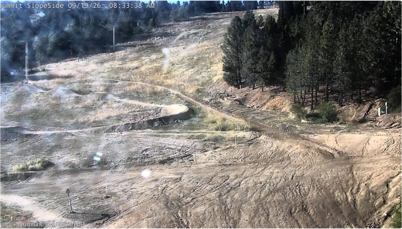
Big Bear Lake - Snow Summit - Slopeside Deck
California, United States — 0 km

Big Bear Lake - Snow Summit - Miracle Mile
🇺🇸 California · United States — Altitude 2256 m
This camera watches the Snow Summit side of Big Bear Lake, a mountain town in the San Bernardino Mountains about 2,250 metres above sea level. It is a useful way to check how the slopes and village look before deciding on a drive up. The live player, local time and weather above show what conditions are like right now.
Big Bear Lake sits in the San Bernardino Mountains of southern California, roughly two hours' drive from Los Angeles. The town grew up around a large mountain lake and is known as a winter snow destination as well as a summer base for boating, hiking and fishing. Its altitude gives it cooler temperatures than the desert and the city below, and the surrounding pine forest makes it feel very different from the coast.
The view is tied to the Snow Summit ski area and the Miracle Mile section of town, so the image is most informative on clear days when slopes and roads are visible. Depending on the view, you may see snow cover, skiers and snowboarders, traffic and the lights of the village. Mornings after a storm and late afternoon in winter are often the most interesting times to watch, as conditions change quickly at this elevation.
Winter brings the most snow and the busiest ski weekends, while summer is mild and popular for lakeside activities. Mountain roads can close or require chains after storms, so it is worth checking the weather block on this page before you travel. The nearby cameras on this page cover the Slopeside Deck, the Beginner Area and Westridge, which help you compare conditions across the resort.
Source: youtube.com
California, United States — 0 km
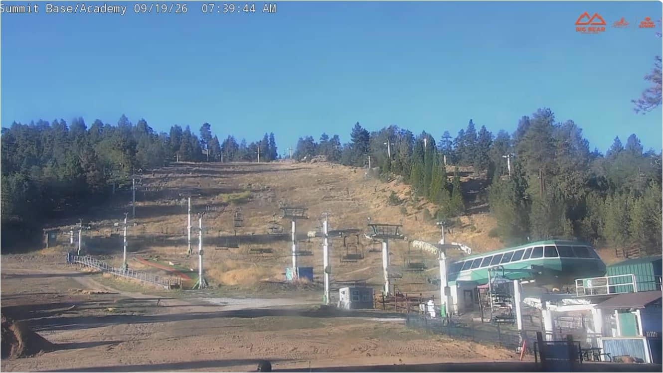
California, United States — 0 km
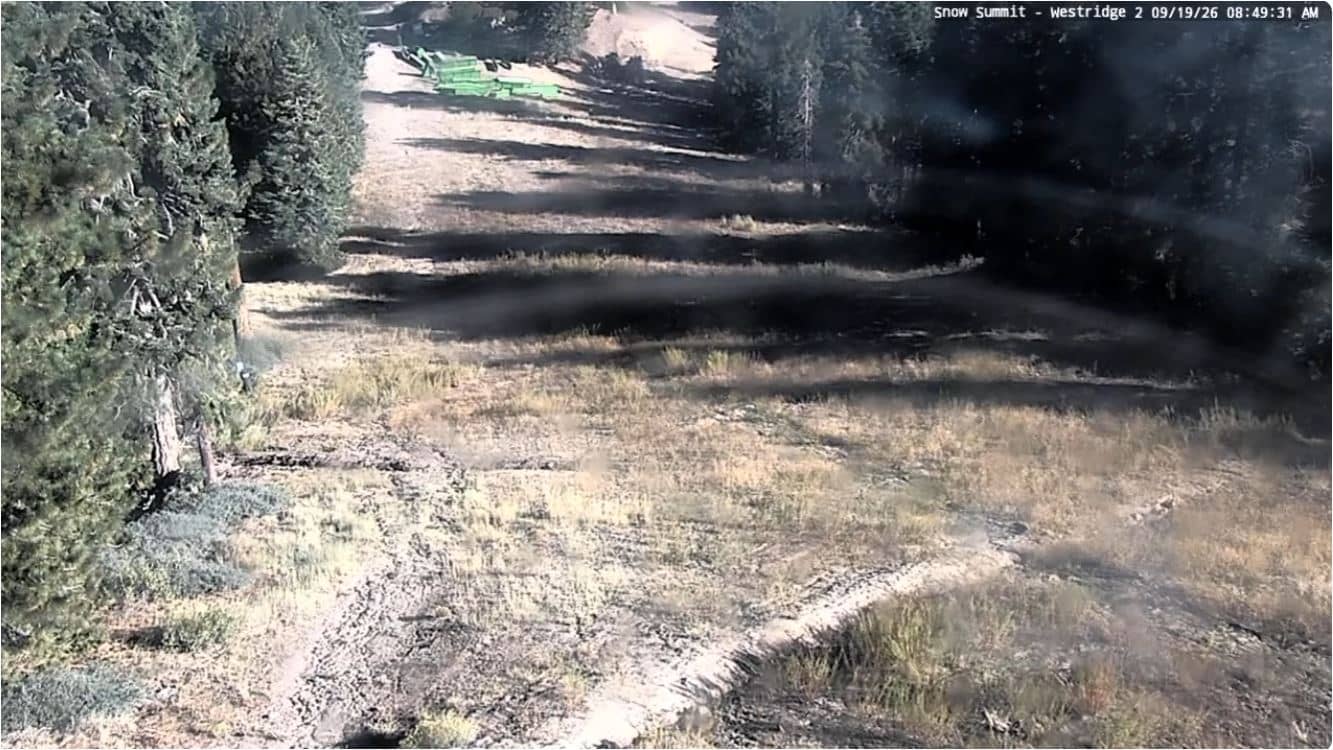
California, United States — 0.1 km
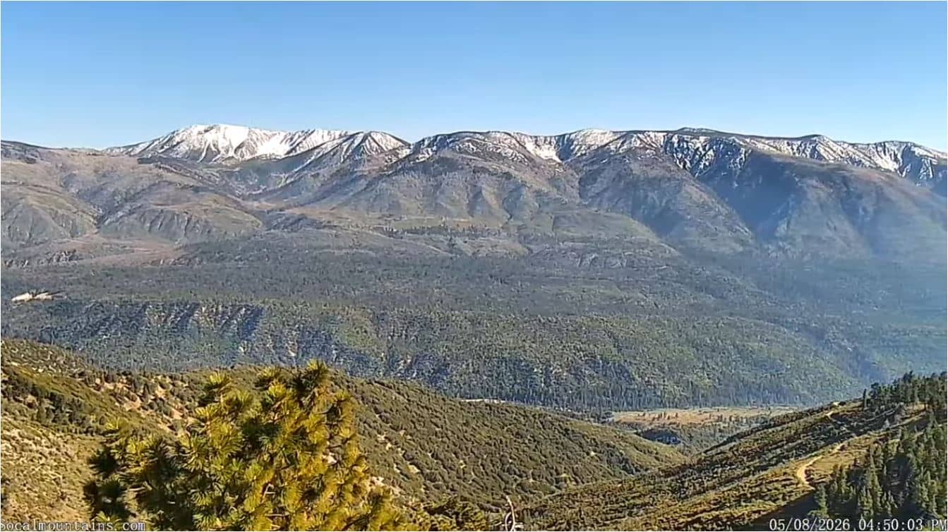
California, United States — 0.3 km
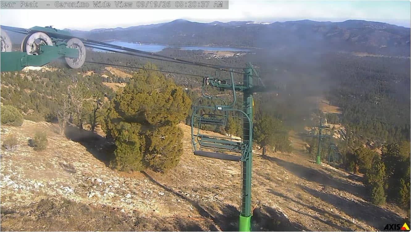
California, United States — 1.7 km
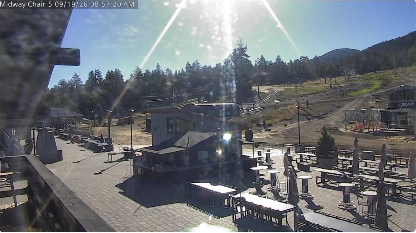
California, United States — 2.9 km
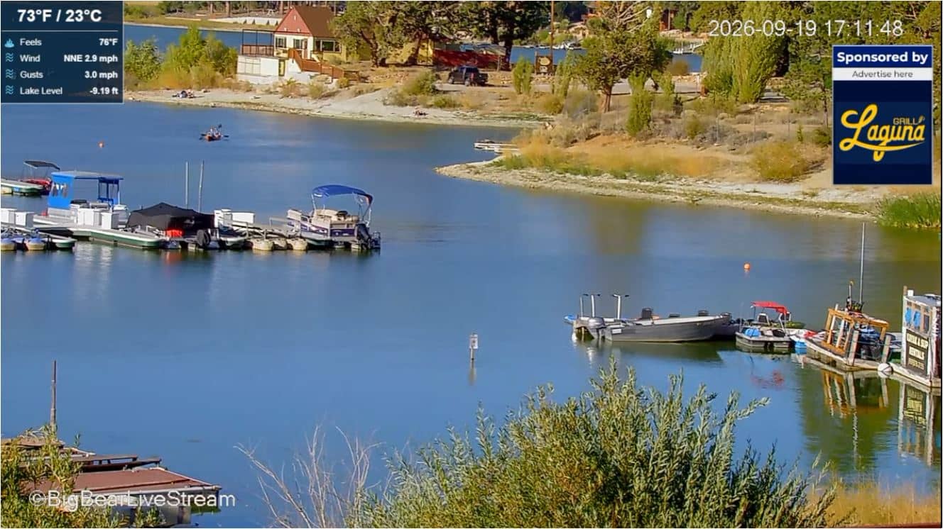
California, United States — 3.1 km
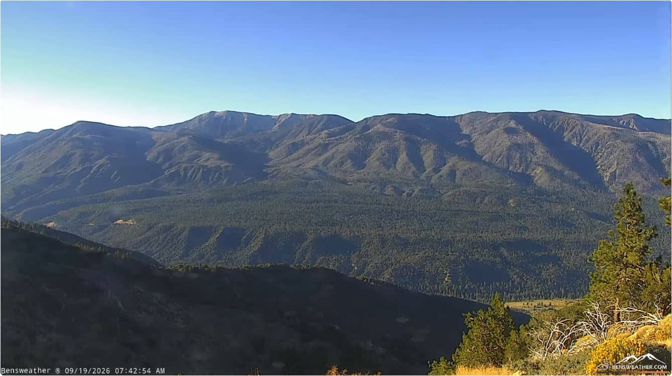
California, United States — 11 km
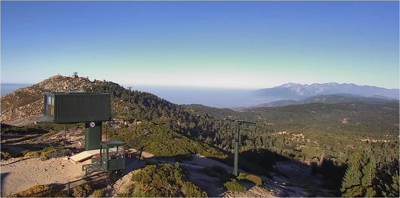
California, United States — 13 km
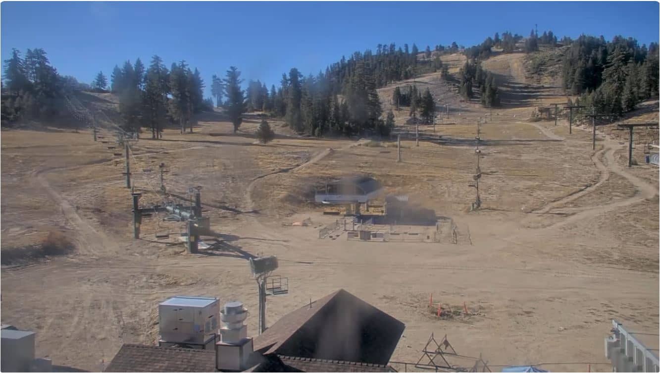
California, United States — 13 km
The current weather and a 3-day forecast are shown in the live block on this page. Mountain conditions can differ a lot from the lowlands, so check the forecast before driving up.
The local time for Big Bear Lake is displayed on this page and follows Pacific time in California. The clock updates automatically so you can match your viewing to daylight.
The camera looks at the Snow Summit and Miracle Mile area in Big Bear Lake, California, at about 2,256 metres altitude. The map on this page shows its exact position.
Winter mornings after snowfall are often the most interesting, when slopes and roads are fresh and visible. Clear summer days are also good for seeing the lake area and town activity.
Partner links: we may earn a commission at no extra cost to you.