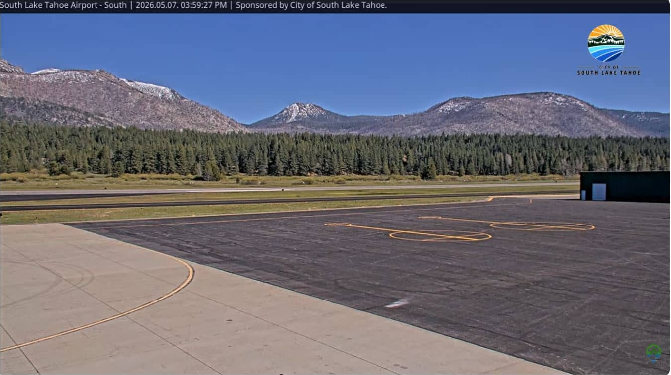
South Lake Tahoe - Airport South
California, United States — 0.2 km
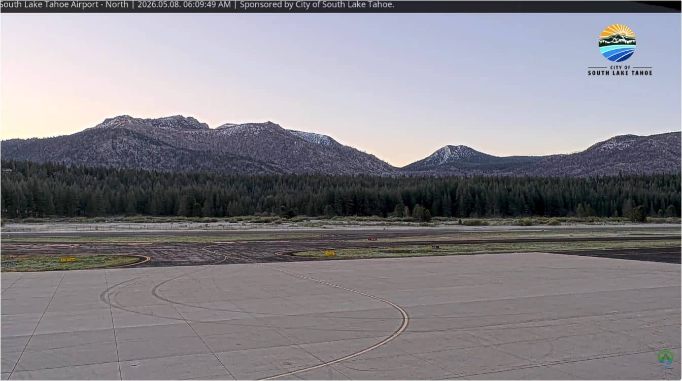
South Lake Tahoe - Airport North
🇺🇸 California · United States — Altitude 1915 m
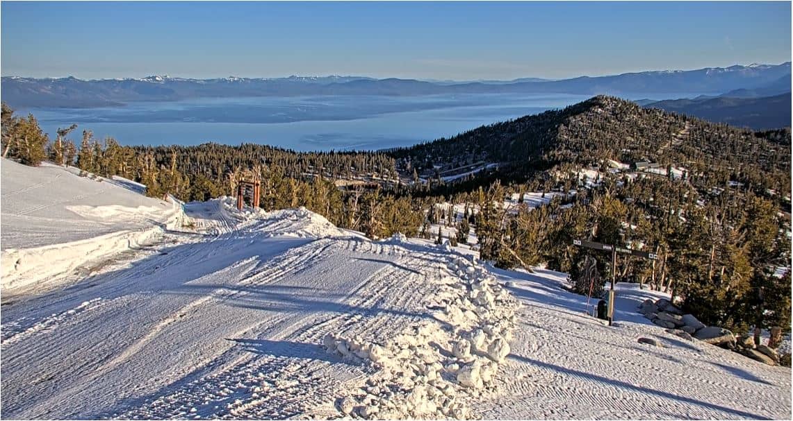
This live stream looks out from the north side of the South Lake Tahoe airport area, at about 1,900 metres above sea level. It is useful for checking how the basin and surrounding mountains look right now, before planning a drive over the Sierra Nevada or a day on the lake.
South Lake Tahoe sits at the southern end of Lake Tahoe, a large alpine lake straddling the California and Nevada border. The city is a base for skiing, hiking and boating in the surrounding Sierra Nevada. The high elevation gives it a crisp, open landscape with pine forest and granite peaks visible from much of the town.
Depending on the view and the hour, you may see the airport apron, runway and the forested slopes rising beyond it. Clear mornings tend to show the mountain ridges most sharply, while afternoon clouds often build over the peaks in summer. In winter, fresh snow on the surrounding slopes is the main thing to look for.
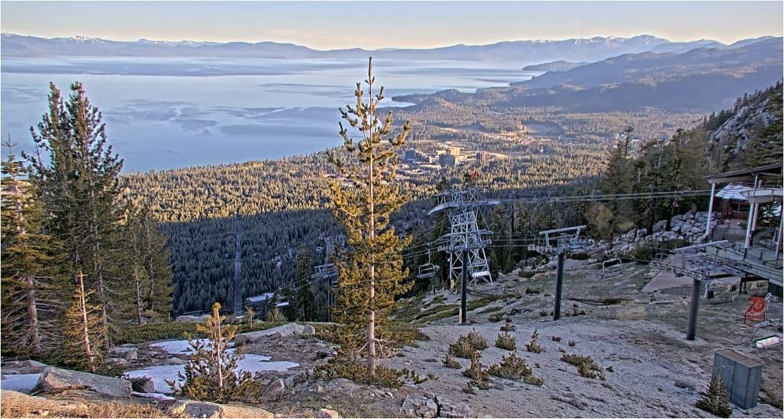
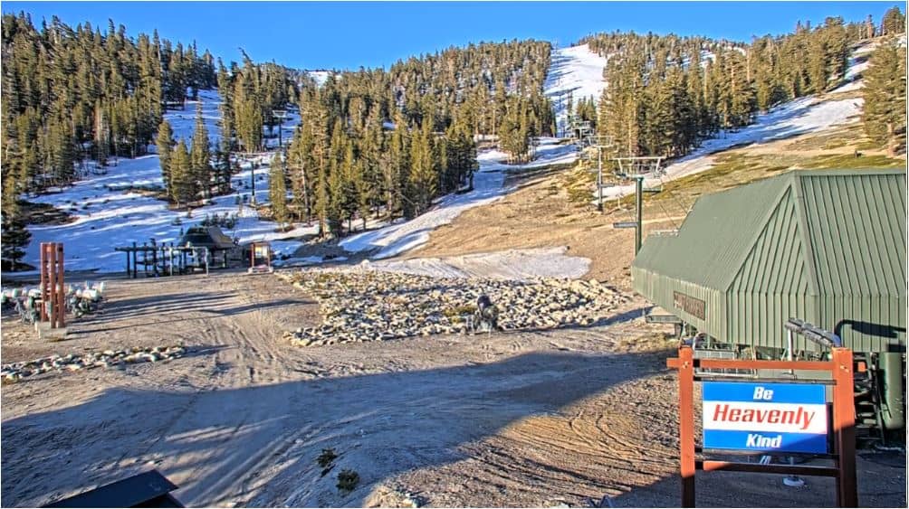
Summers are warm and dry, with cool nights, while winters are cold and snowy, which makes this one of the busiest ski regions in the country. Spring and autumn can be quieter and more changeable. Nearby cameras cover the south airport side, Meyers and the Heavenly tram, so you can compare conditions across the area.
Source: seetahoe
California, United States — 0.2 km

California, United States — 7.2 km
Florida, United States — 8.8 km
California, United States — 9.1 km
Florida, United States — 9.2 km
Nevada, United States — 9.8 km
Nevada, United States — 9.8 km
California, United States — 12 km
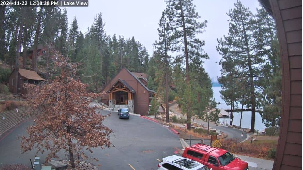
California, United States — 13 km
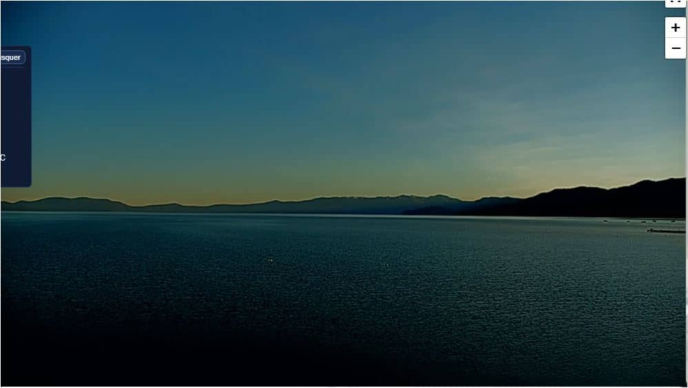
California, United States — 22 km
The current conditions and the 3-day forecast are shown in the live weather block on this page, updated automatically for South Lake Tahoe.
The local time is displayed on this page and follows the Pacific time zone used across the western United States.
The camera is at the South Lake Tahoe airport area in California, near the Nevada border, looking north. The map on this page shows its position.
Clear early mornings are good for seeing the ridgelines, and winter days show snow cover on the slopes. Check the weather block to decide when conditions look best.
Partner links: we may earn a commission at no extra cost to you.