
Montrose - Sunset Mesa
Colorado, United States — 72 km
🇺🇸 Colorado · United States — Altitude 2415 m
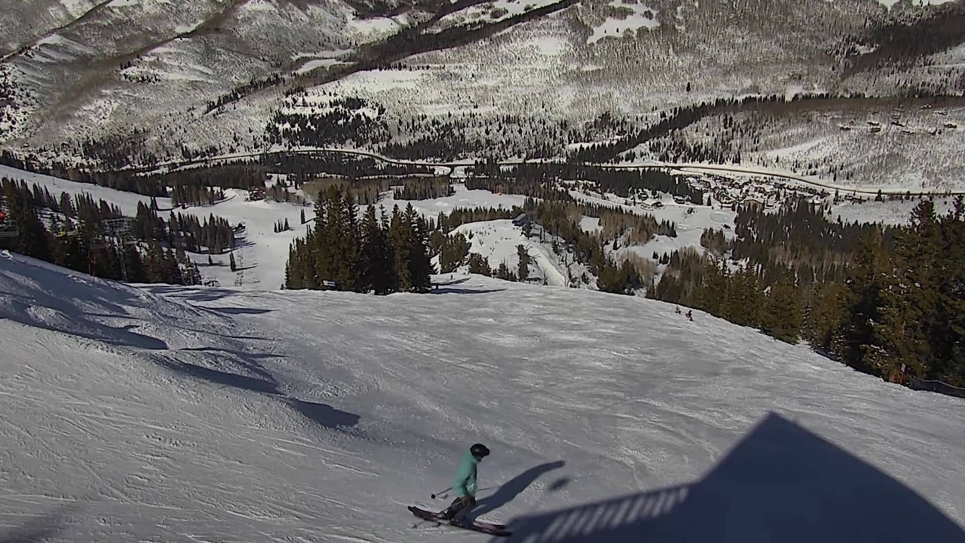
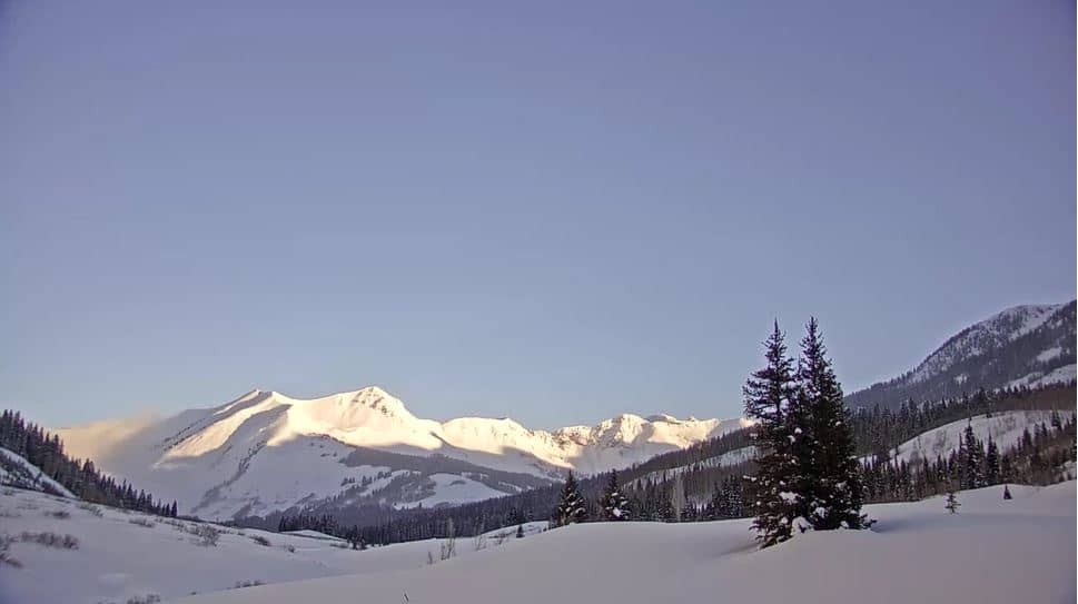
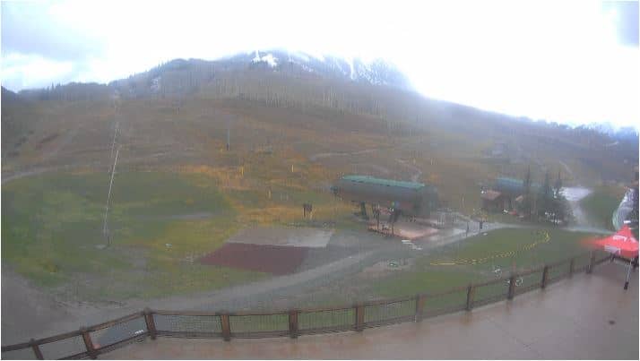
This live camera looks out over the mountain country of western Colorado near Mesa. It is a useful place to check how the high terrain looks right now, before you plan a drive or a hike in the area. The page also shows local time and the current forecast next to the stream.
Mesa sits in the Colorado Rockies at an elevation of about 2,400 metres, in the Gunnison and Elk Mountains region of the western part of the state. The landscape is dominated by high peaks, forested slopes and river valleys cut by snowmelt. Many visitors come here for mountain scenery, skiing in winter and hiking and fishing in summer, and the area is known for its clear, dry air.
Depending on the view, the camera may show peaks, slopes and sky conditions that change quickly. Early morning and late afternoon often bring the most dramatic light on the ridges, while clouds building over the summits are a typical afternoon pattern in summer. In winter, snow cover changes the look of the slopes, so the live picture is a good way to judge recent snowfall.
Winters here are cold and snowy, while summers are mild and sunny, with cool nights even in July. The best time to visit for hiking is generally from late June to September, once the high passes are clear of snow. Nearby cameras on this site include Glenwood Springs, Gothic and Aspen, which give you a broader view of conditions across the region.
Source: Mesa Colorado Webcam
Colorado, United States — 72 km
Colorado, United States — 89 km
Colorado, United States — 101 km
Colorado, United States — 101 km

Colorado, United States — 103 km

Colorado, United States — 104 km

Colorado, United States — 104 km
Colorado, United States — 105 km

Colorado, United States — 106 km

Colorado, United States — 106 km
The current conditions and the three-day forecast for Mesa are shown in the weather block on this page. The values update on their own, so you can check them alongside the live picture.
The local time for Mesa is displayed on the page and follows the Mountain time zone used in this part of Colorado. It updates automatically while the page is open.
The camera is in the Mesa area of Colorado, at roughly 39.07 degrees north and 108.16 degrees west, at an elevation of about 2,400 metres. The map on the page marks its position.
Daylight hours show the landscape most clearly, and early morning or late afternoon usually gives the best light on the peaks. Weather changes can be seen at any time, so watching during the day helps you judge conditions.
Partner links: we may earn a commission at no extra cost to you.