
Edwards - Golf Valley Course de Cordillera
Colorado, United States — 29 km
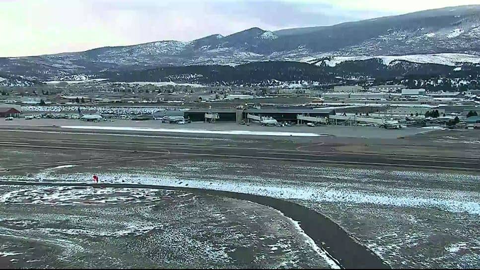
Gypsum
🇺🇸 Colorado · United States — Altitude 1988 m
This live stream is aimed at Gypsum Airport in the Eagle Valley of central Colorado. It lets you see the airfield and the surrounding high-desert scenery as it is right now, which is useful for checking conditions before a flight or simply keeping an eye on mountain weather. The page also shows the local time and forecast for Gypsum.
Gypsum is a small town in Eagle County, set at about 1,988 metres above sea level where the Eagle River meets the Colorado River corridor. The valley sits between the Rocky Mountains and the drier plateaus to the west, so the landscape mixes sagebrush flats with steep forested slopes. The town grew around the gypsum deposits that give it its name and today serves as a gateway to the ski resorts and river towns nearby.
The camera is pointed at an airport, so the most interesting views are usually aircraft taking off and landing, the runway and apron, and the mountain ridges framing the valley. Clear mornings tend to offer the sharpest view of the peaks, while afternoon thunderstorms are common in summer and can change the scene quickly. Winter brings snow on the runway and surrounding hills, which is worth watching if you are planning travel.
Gypsum has a dry, sunny climate with large temperature swings between day and night, and summers are generally warm while winters are cold with regular snowfall. The best time to visit the area is late spring through early autumn for hiking and rafting, or winter for skiing. Nearby camera pages cover Avon, Glenwood Springs, Vail and Aspen, which are all within roughly an hour's drive.
Source: Gypsum Airport
Colorado, United States — 29 km
Colorado, United States — 33 km
Colorado, United States — 37 km
Colorado, United States — 44 km
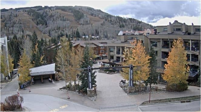
Colorado, United States — 45 km
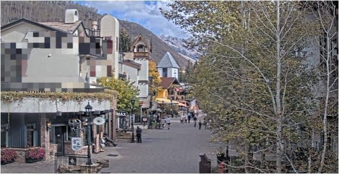
Colorado, United States — 46 km
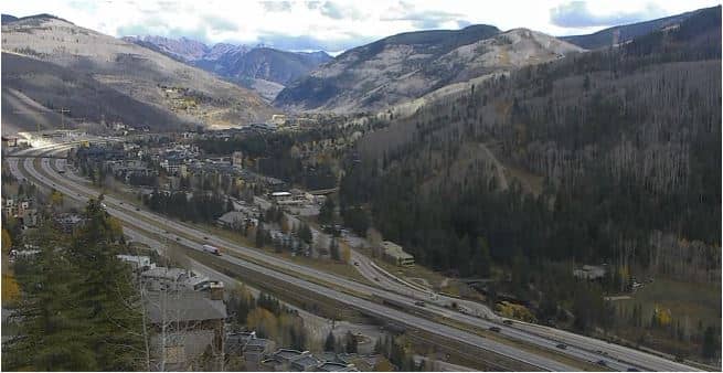
Colorado, United States — 46 km

Colorado, United States — 47 km
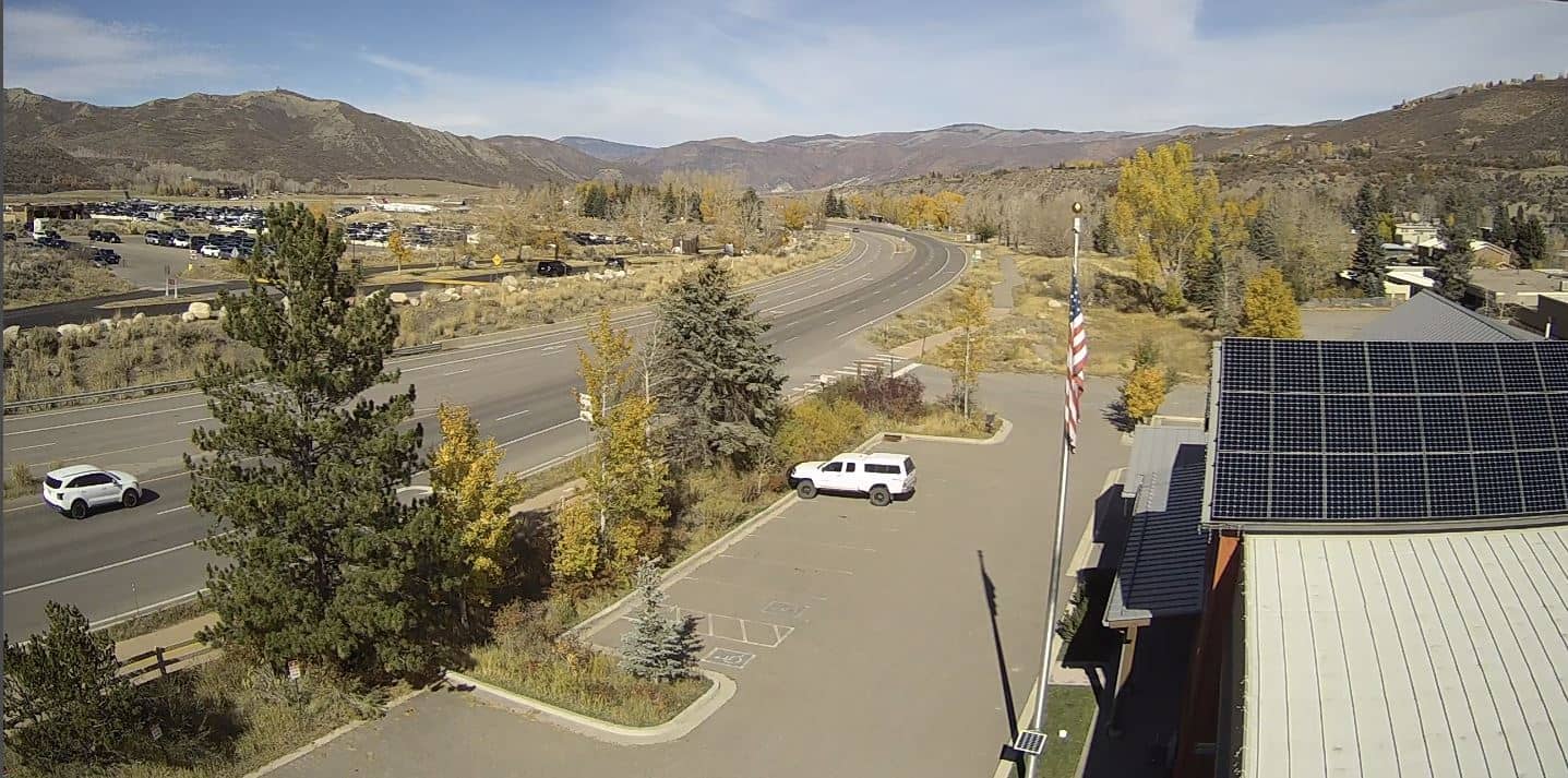
Colorado, United States — 47 km

Colorado, United States — 48 km
The current conditions and a 3-day forecast for Gypsum are shown in the weather block on this page. Values update with the page, so check there for temperature, wind and precipitation.
The local time for Gypsum appears in the time block above the live view. It follows the Mountain time zone used in this part of Colorado.
The camera is located at Gypsum Airport in Eagle County, Colorado, at approximately 39.64 degrees north and 106.92 degrees west. The map on this page marks its position.
Mornings are usually clearest for seeing the surrounding peaks, while summer afternoons may bring cloud and storms. Winter views show snow cover, which can be useful when checking airfield conditions.
Partner links: we may earn a commission at no extra cost to you.