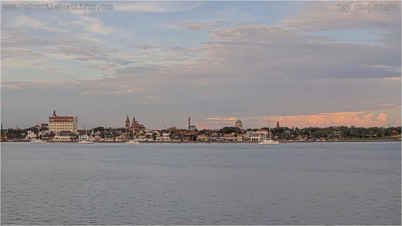
St. Augustine - Skyline
Florida, United States — 2 km
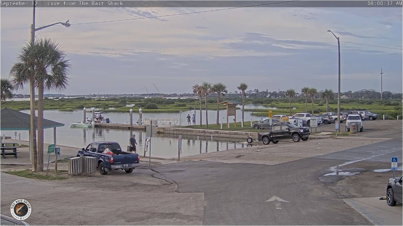
St. Augustine - Vilano Boat Ramp - Intracoastal Waterway
🇺🇸 Florida · United States — Altitude 2 m
This live stream looks out over the Vilano Boat Ramp on the Intracoastal Waterway near St. Augustine, Florida. It suits anyone curious about boat traffic, tidal water and coastal light on Florida's Atlantic side. The page also gives you the local time and a three-day weather outlook for the area.
St. Augustine sits on Florida's northeast coast and is often described as the oldest continuously inhabited European-founded city in the United States. The Intracoastal Waterway runs parallel to the Atlantic here, sheltered by barrier islands and marsh, so the water is calmer and more sheltered than the open ocean. Vilano Beach lies just across the bridges to the north, and the setting is more low-key and residential than the historic core. The landscape is flat, green and watery, with a strong sense of the Atlantic shoreline nearby.
Depending on the view, a ramp on the waterway typically means small boats launching and returning, pleasure craft passing on the channel, and wading birds on the edges. Tide changes alter the water level noticeably, so mornings and late afternoons are often busy with boaters. Calm weather tends to bring more traffic, while stronger winds can make the surface choppy. Sunsets over the water can add warm colour in clear conditions.
St. Augustine has a humid subtropical climate, with hot, humid summers and mild winters. Late spring and autumn are generally the most comfortable times to visit, and summer brings afternoon thunderstorms. Nearby cameras on VizCams include St. Augustine Skyline, the St. George Street historic district, the Bridge of Lions over the Matanzas River, and Vilano Beach itself. Together they give a fuller picture of the city and its waterfront.
Source: youtube.com
Florida, United States — 2 km
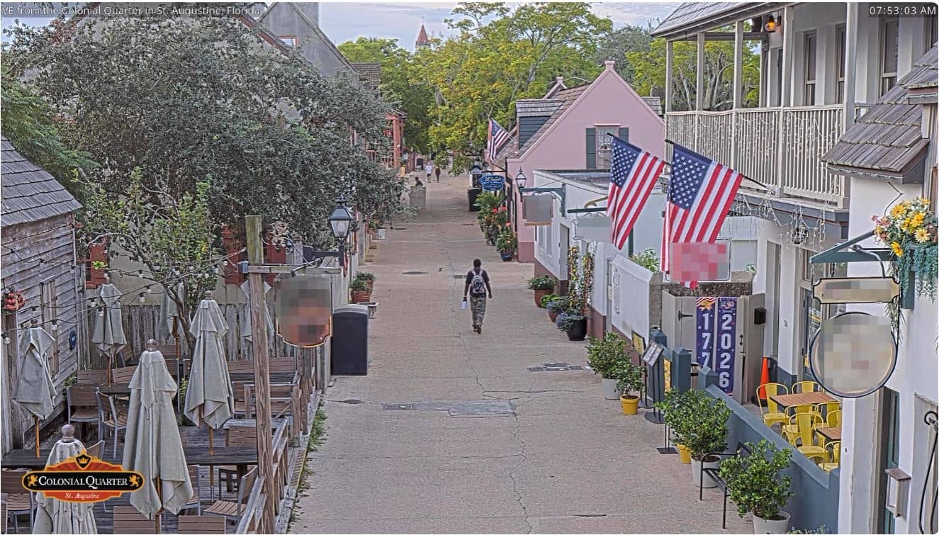
Florida, United States — 2 km

Florida, United States — 2.3 km
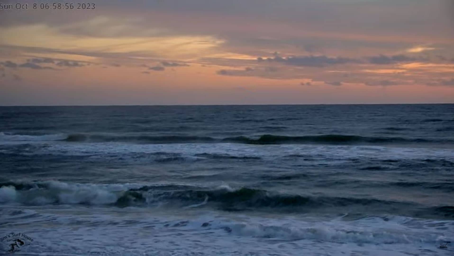
Florida, United States — 2.9 km

Florida, United States — 4.1 km
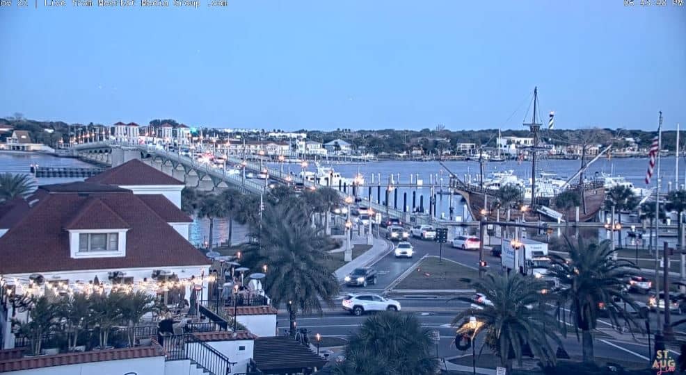
Florida, United States — 8.7 km
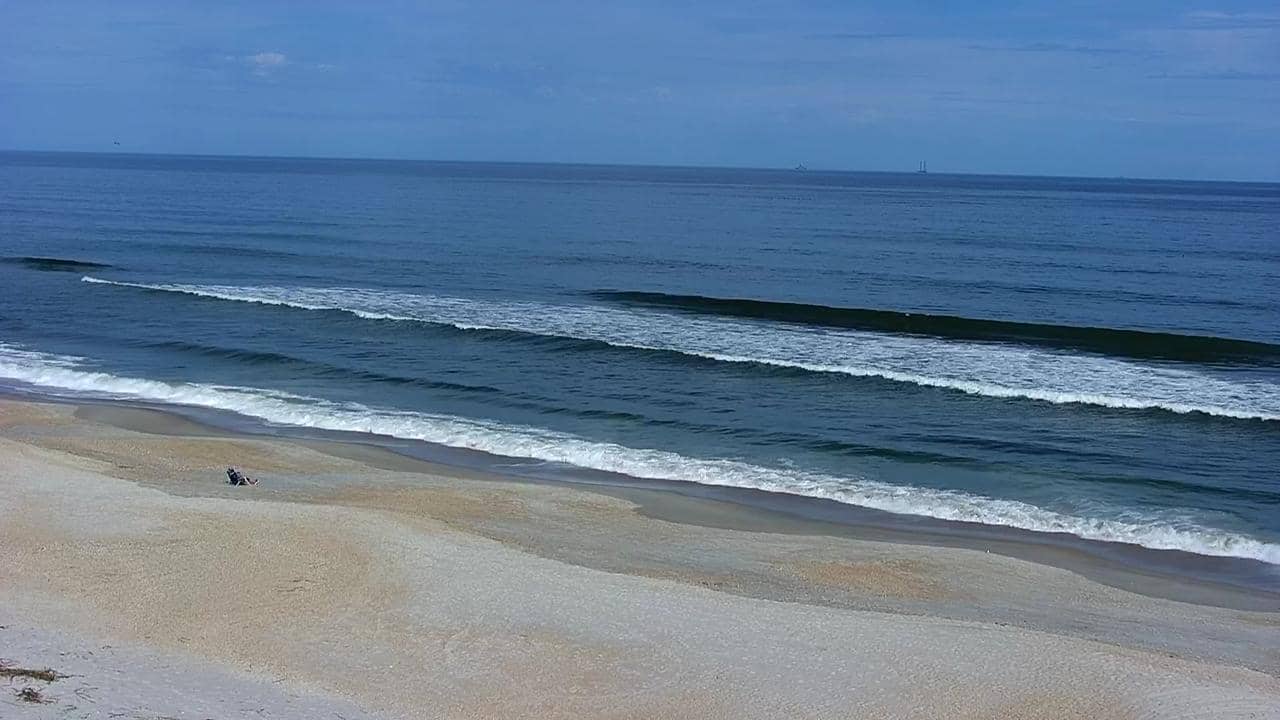
Florida, United States — 32 km
Florida, United States — 43 km
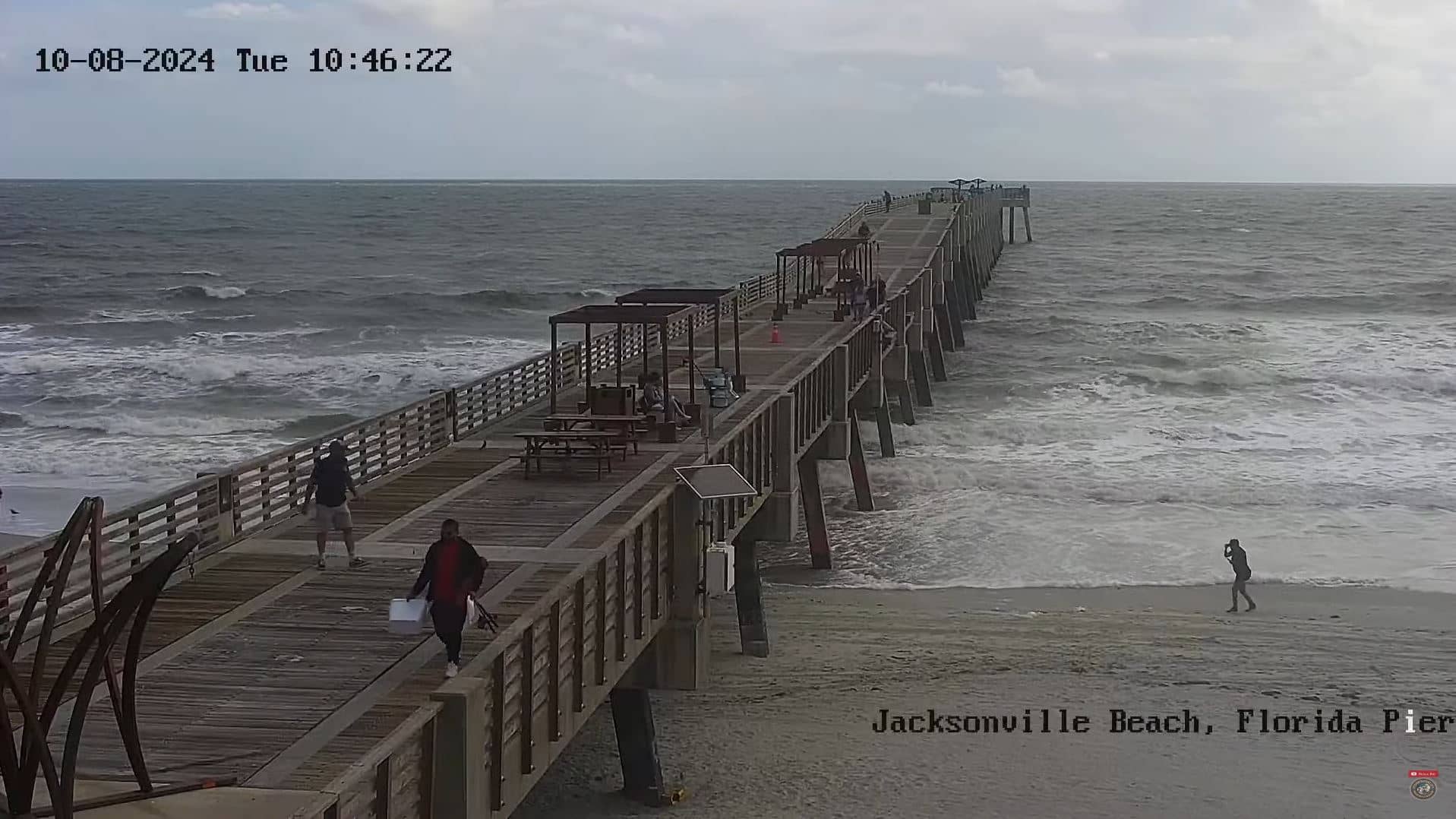
Florida, United States — 43 km

Florida, United States — 56 km
The current conditions and a three-day forecast for the area are shown in the weather block on this page. The values update automatically, so check there for the latest temperature, wind and rain.
The local time for St. Augustine is shown on this page and follows Eastern Time. It updates live alongside the camera view.
The camera overlooks the Vilano Boat Ramp on the Intracoastal Waterway, just north of the St. Augustine historic district. The map on this page marks its position.
Early mornings and late afternoons are often the busiest on the water, with boats launching and tides changing. Calm, clear days give the clearest view.
Partner links: we may earn a commission at no extra cost to you.