
Embassy Suites Miami International - Greater Miami Convention Visitors Bureau
Florida, United States — 2.7 km
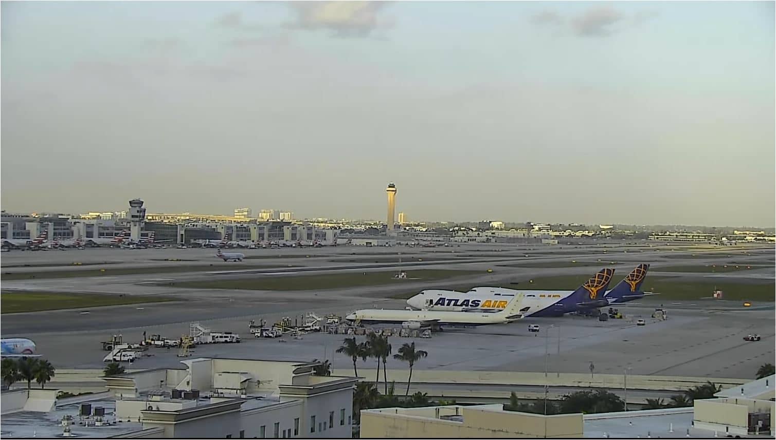
Miami - International Airport (MIA)
🇺🇸 Florida · United States — Altitude 6 m
This live stream follows the activity at Miami International Airport, one of the busiest gateways between North America, the Caribbean and Latin America. It is useful for checking how the day is developing at the airfield and whether the Florida sky is clear or stormy before you travel. The page also gives the local time and the weather forecast for the city.
Miami International Airport sits a few kilometres west of downtown Miami, on flat land close to the Everglades and Biscayne Bay. It is one of the main hubs for flights to South America and the Caribbean, and it handles a large volume of international travellers each year. The surrounding area is low and open, so weather systems are easy to see approaching from the Atlantic or the Gulf side of Florida.
The title names the airport, so the stream is best understood as a view of the airfield and its aircraft movements rather than a scenic view. Activity is usually steady through the day with departure and arrival peaks, and the picture changes noticeably with light and cloud. Late afternoon often brings building cumulus and afternoon thunderstorms in the wet season, which can affect take-offs and landings and is worth watching.
Miami has a tropical climate with hot, humid summers and mild, drier winters, and the rainy season runs roughly from May to October. The best time to visit is generally between November and April. Nearby cameras on VizCams include views of Miami at about 9 and 10 km, and Hollywood Beach at roughly 29 km, which can help you compare conditions along the coast.
Source: ozolio_live
Florida, United States — 2.7 km

Florida, United States — 8.5 km
Florida, United States — 9.4 km

Florida, United States — 9.8 km

Florida, United States — 9.8 km

Florida, United States — 9.9 km

Florida, United States — 9.9 km
Florida, United States — 11 km

Florida, United States — 11 km
Florida, United States — 11 km
The current conditions and a 3-day forecast for Miami are shown in the live weather block on this page, updated automatically. Check it before heading to the airport or the coast.
The local time for Miami is shown in the live time block on this page. Florida follows Eastern Time, with daylight saving time in summer.
The camera is at Miami International Airport, about 6 metres above sea level, a few kilometres west of downtown Miami. The map on this page shows the exact position.
Daytime hours usually show the most aircraft movement, while late afternoon in the wet season is good for spotting approaching storms. Conditions depend on the weather on the day.
Partner links: we may earn a commission at no extra cost to you.