Panama City Beach - Plage de
Florida, United States — 3.5 km
🇺🇸 Florida · United States — Altitude 7 m
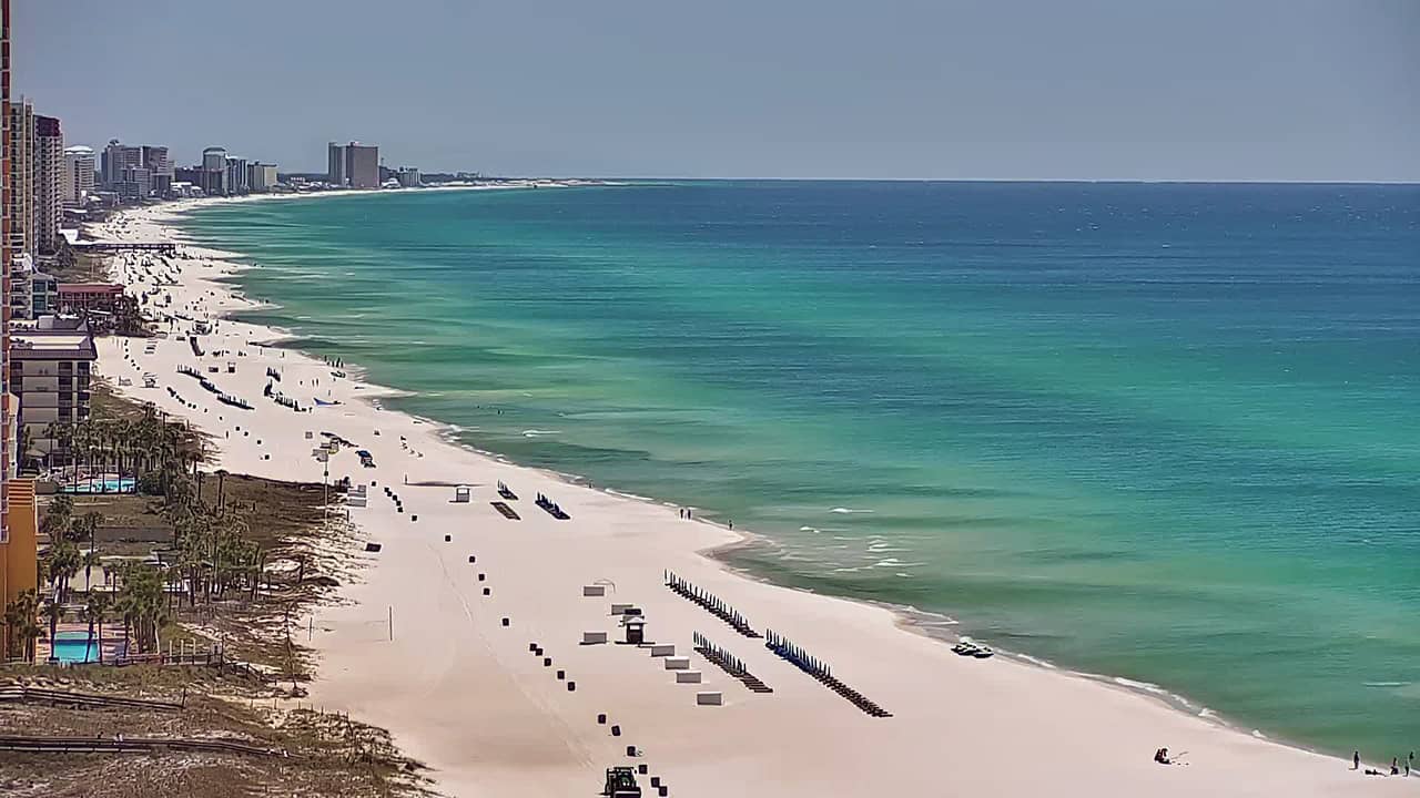
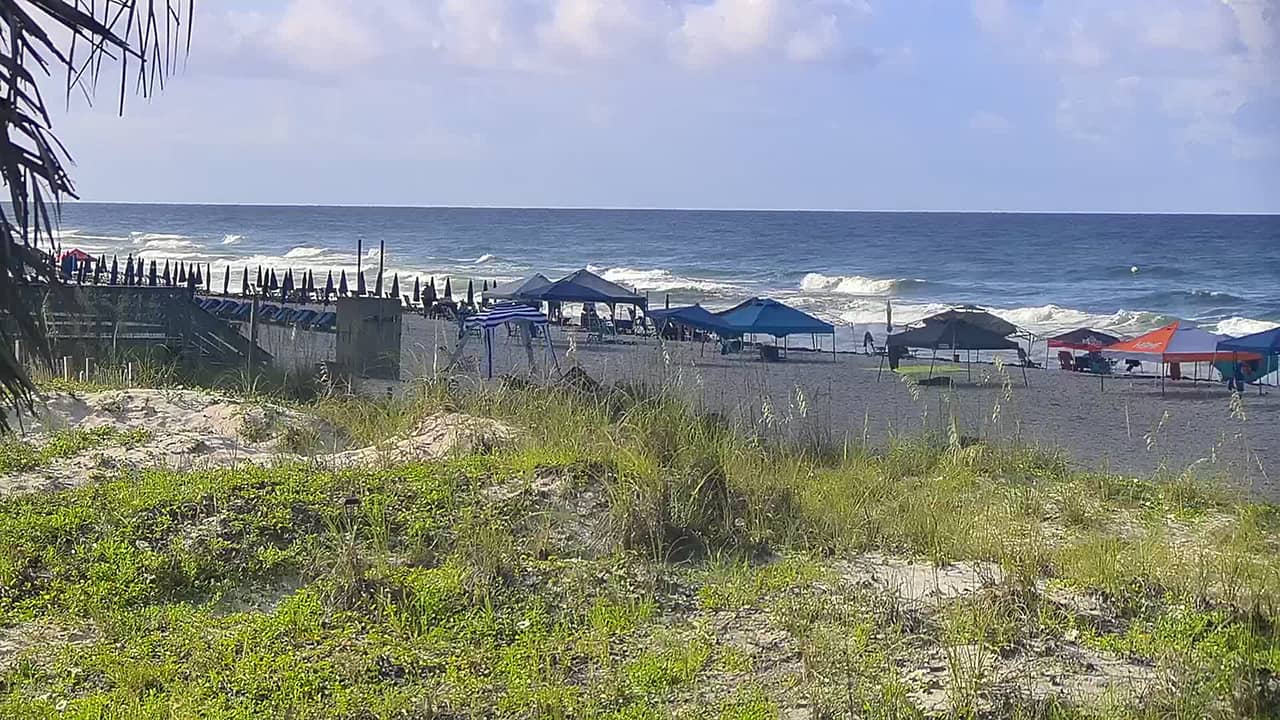
This live camera looks out over Panama City Beach, a long stretch of white sand on Florida's Gulf Coast in the Panhandle. Use it to check how the water and beach look before you travel, or simply to watch the Gulf change through the day.
Panama City Beach sits on the Emerald Coast, where the sand is famously fine and quartz-white and the water tends toward clear turquoise close to shore. The town grew from a quiet fishing area into a busy resort strip, with condominiums, restaurants and amusement along the main beachfront. Dunes and coastal pine stands run behind parts of the shoreline, and the Gulf is the main draw for most visitors.
The view is most useful in daylight, when you can judge the surf, the number of people on the sand and the colour of the water. Early morning often brings calmer conditions and softer light, while late afternoon can show the beach at its busiest. Sky conditions and wind change quickly here, so the live picture is a good way to see what is happening right now rather than relying on a forecast alone.
Summers are hot and humid, and the water is warmest from late June through September. Spring and autumn are generally milder and less crowded, making them good times for a walk along the sand. Panama City Beach is served by Northwest Florida Beaches International Airport, and nearby cameras on this site cover other points along the same stretch of coast.
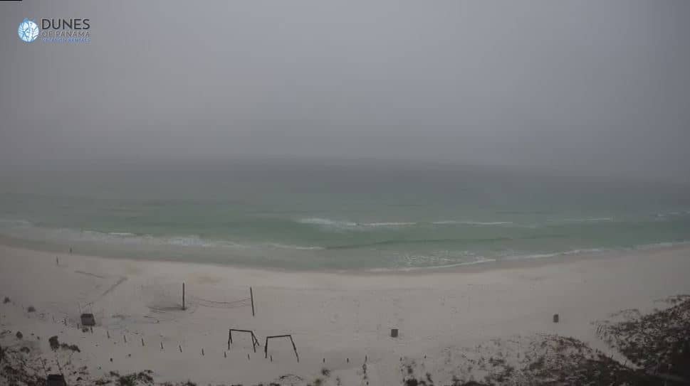
Source: Dunes of Panama
Florida, United States — 3.5 km
Florida, United States — 3.7 km
Florida, United States — 3.8 km
Florida, United States — 3.9 km
Florida, United States — 3.9 km

Florida, United States — 6.9 km
Florida, United States — 11 km
Florida, United States — 12 km
Florida, United States — 15 km

Florida, United States — 18 km
Current conditions and a three-day forecast are shown in the weather block on this page, updated alongside the live picture.
The local time for Panama City Beach is displayed on this page and follows the Central time zone used along this part of the Florida Panhandle.
The map on this page marks the camera location on the Gulf Coast in Bay County, Florida, with nearby cameras listed below it.
Daylight hours are best for judging the surf and beach activity, and the warmer months from May to September are when the shore is busiest.
Partner links: we may earn a commission at no extra cost to you.