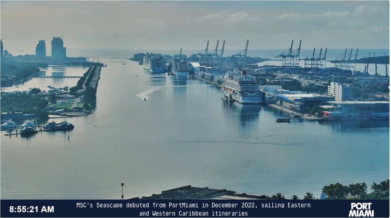
Miami - PortMiami - Cruise Ship Arrivals & Departures
Florida, United States — 1 km

MacArthur Causeway Camera - Greater Miami Convention Visitors Bureau
🇺🇸 Florida · United States — Altitude 3 m
This live camera looks over the MacArthur Causeway, the bridge road that links downtown Miami with Miami Beach across Biscayne Bay. It suits anyone planning a trip to the city, checking conditions on the bay or keeping an eye on traffic and the water before heading out.
The MacArthur Causeway carries traffic over the shallow waters of Biscayne Bay between the mainland and the barrier islands. On one side the skyline of downtown Miami rises above the port, and on the other lie the hotels and beaches of Miami Beach. The road is one of the main routes between the two areas, and the open water along it makes the stretch feel very different from the city streets behind it.
The title points to a view of the causeway itself, so expect roads, bridge structure, boats and the bay in the frame, though the exact view depends on the camera angle. Mornings and late afternoons tend to give softer light on the water, while clear sunny days show the skyline best. Watching during a rain shower or strong wind can be useful for judging how the bay looks before you travel.
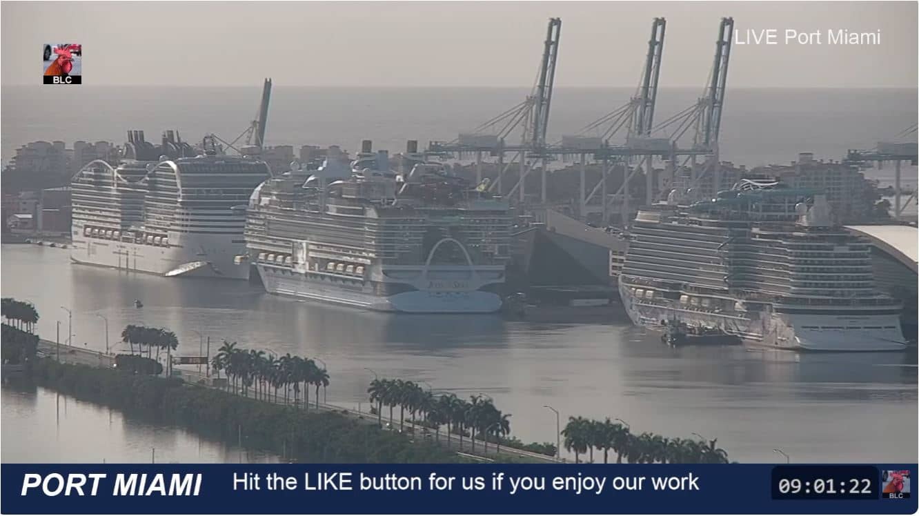
Miami has a subtropical climate, hot and humid through summer with a rainy season from roughly May to October, and milder, drier weather from December to April, which is the most popular time to visit. Hurricane season runs through the autumn, so check the forecast shown on this page before you plan. The nearby PortMiami cruise terminal cameras and the Biscayne Bay North camera are useful companions to this view.
Source: Ozolio
Florida, United States — 1 km
Florida, United States — 1.2 km

Florida, United States — 1.2 km

Florida, United States — 1.6 km

Florida, United States — 1.6 km
Florida, United States — 1.9 km

Florida, United States — 3.4 km

Florida, United States — 3.4 km
Florida, United States — 4.1 km

Florida, United States — 5.8 km
The current conditions and a 3-day forecast for the area are shown in the live weather block on this page, updated as the data refreshes.
The local time for Miami, Florida, is displayed on this page and follows Eastern Time, including daylight saving changes.
The camera is located near the MacArthur Causeway at about sea level, on the causeway linking downtown Miami with Miami Beach over Biscayne Bay. The map on this page shows the exact position.
Early morning and late afternoon usually give the most pleasant light on the bay, while clear weather shows the skyline and water most clearly.
Partner links: we may earn a commission at no extra cost to you.