Pontiac
Illinois, United States — 17 km
Chenoa - 11LL Runway Camera
🇺🇸 Illinois · United States — Altitude 221 m
This live stream follows the 11LL runway in Chenoa, a small town in central Illinois. It is a useful window for anyone checking how the airfield looks right now, or who simply wants to see the flat prairie sky that defines this part of the state. The page also shows local time and the weather outlook for the town.
Chenoa sits on the flat farmland of central Illinois, in McLean County, roughly midway between Bloomington and Pontiac. The region is known for grain agriculture, wide open fields and some of the clearest skies in the Midwest. Its character comes from its rural setting rather than from dense development, so the landscape changes mainly with the seasons and the weather over the fields.
The camera is aimed at a runway, so the most useful things to follow are the surface conditions, the light and the sky above the open ground. Mornings and late afternoons usually bring the softest light and the most visible cloud patterns. Winter snow, spring rain and summer storms can all change the look of the view quickly, so the live image is worth checking at different times of day.
Central Illinois has warm, humid summers and cold winters, with spring and autumn generally the most comfortable seasons. Thunderstorms are common in late spring and summer. Chenoa is a small community, so most visitors arrive by car. Nearby cameras on this site include Pontiac, Normal and Bloomington, which can help you compare conditions across the region.
Source: myearthcam.com
Illinois, United States — 17 km

Illinois, United States — 34 km
Illinois, United States — 36 km
Illinois, United States — 46 km
Illinois, United States — 73 km

Illinois, United States — 74 km
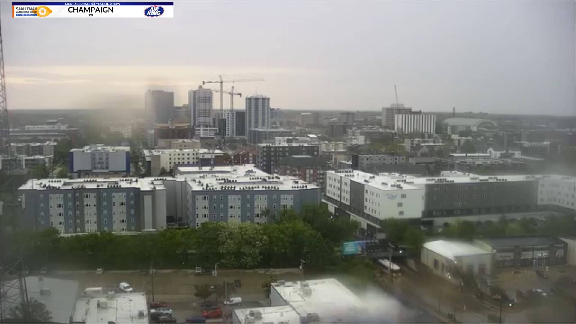
Illinois, United States — 80 km
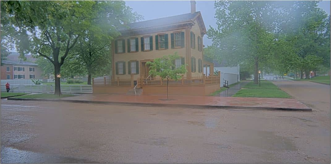
Illinois, United States — 86 km
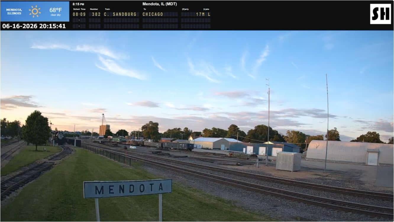
Illinois, United States — 96 km
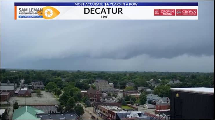
Illinois, United States — 101 km
Current conditions and a three-day forecast for Chenoa are shown in the weather block on this page. They update together with the live view, so you can compare what the camera shows with the reported weather.
The local time for Chenoa appears on this page and follows the Central time zone used across this part of Illinois. The clock is updated automatically, so you do not need to adjust it yourself.
The camera is located in Chenoa, in McLean County, central Illinois, at about 221 metres above sea level. A map on the page marks its position relative to nearby towns such as Bloomington and Pontiac.
Early morning and late afternoon often give the clearest light and the most interesting sky. Check the weather block first, since storms or snow can change the view quickly during spring, summer and winter.
Partner links: we may earn a commission at no extra cost to you.