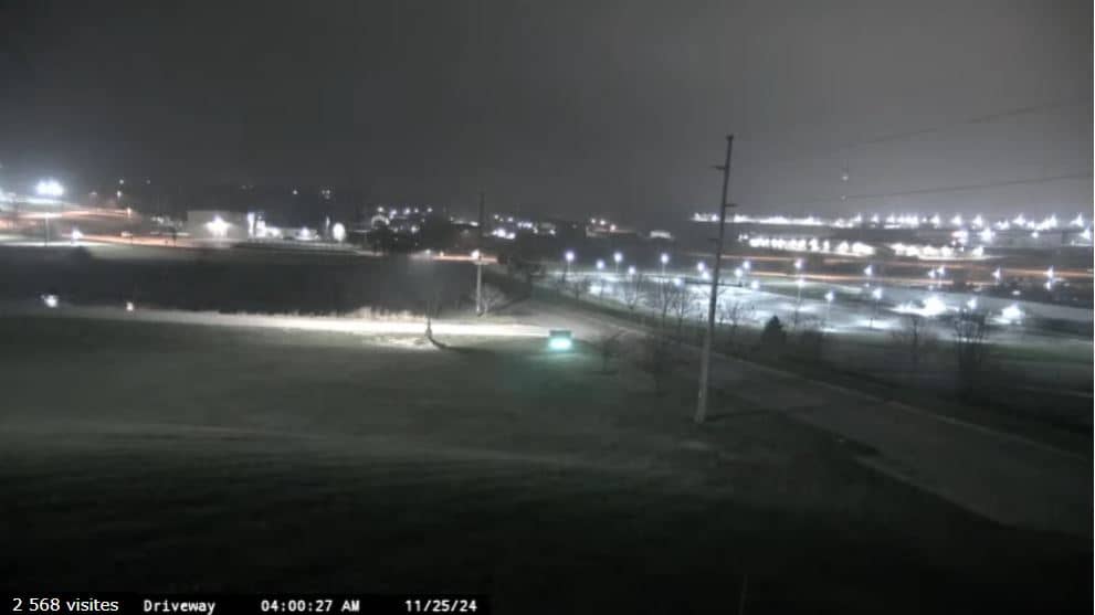
Dubuque
Iowa, United States — 12 km
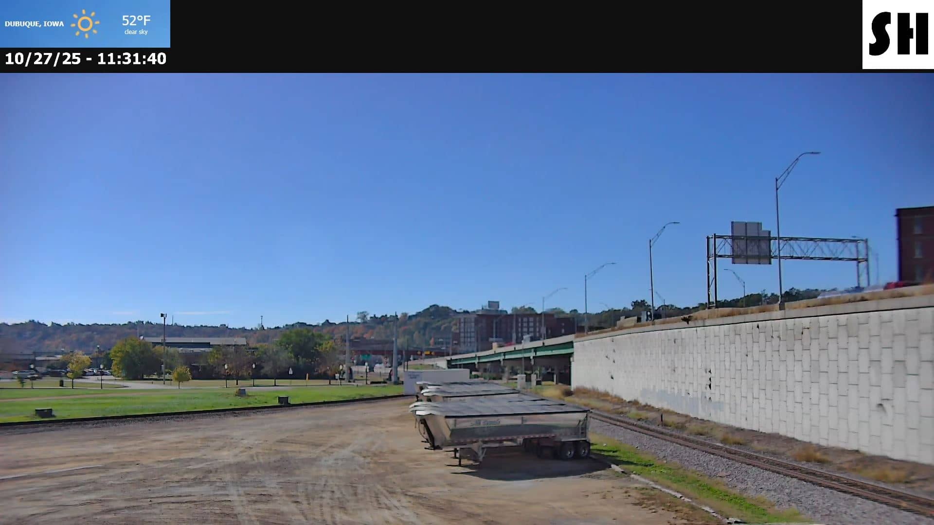
Dubuque
🇺🇸 Iowa · United States — Altitude 186 m
This live feed from Dubuque, Iowa, is a traffic camera, so it is aimed at road conditions rather than scenery. It is useful for checking how busy the roads look before you leave or how the weather is affecting driving in the area. The page also shows local time, current conditions and a map.
Dubuque sits on the Mississippi River in the northeast corner of Iowa, where the state meets Illinois and Wisconsin. The city is built on steep bluffs above the river, and its historic districts, river views and riverfront trails make it a well-known stop in the region. The surrounding countryside is rolling farmland, and the river valley gives the area a distinctive character compared with much of the flat Midwest.
As a traffic camera, the feed is most useful during the morning and evening commute, when traffic volume is highest, and during snow, rain or fog, when road surfaces change quickly. Depending on the view, you may see vehicle flow, lane conditions and the state of the road surface. Daylight gives the clearest picture, while after dark the image relies on road lighting.
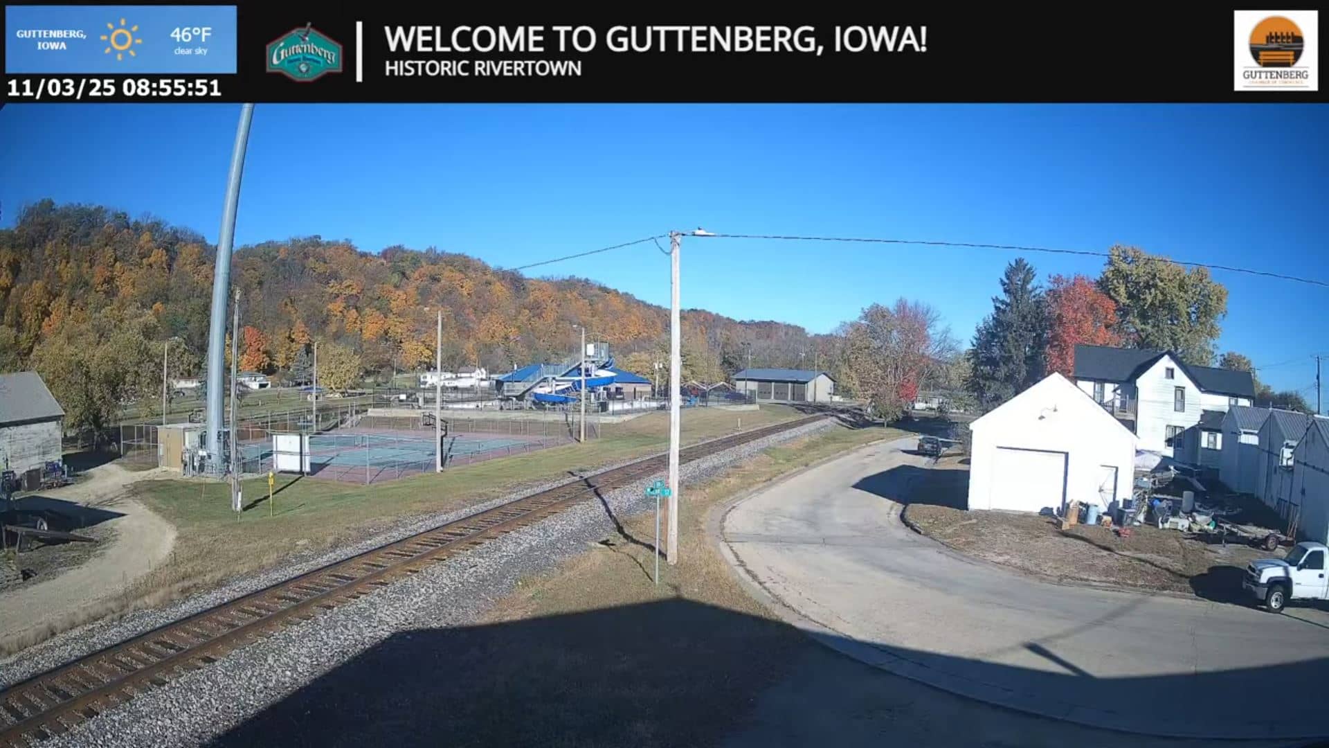
Dubuque has a humid continental climate with hot summers, cold winters and noticeable snowfall from late autumn to early spring. Spring and early autumn are generally the most comfortable seasons for travel. Nearby cameras on this site cover Vernon Township, Bellevue and Guttenberg, which can help you compare conditions along the river corridor.
Source: SteelHighwayRailcams
Iowa, United States — 12 km
Iowa, United States — 14 km
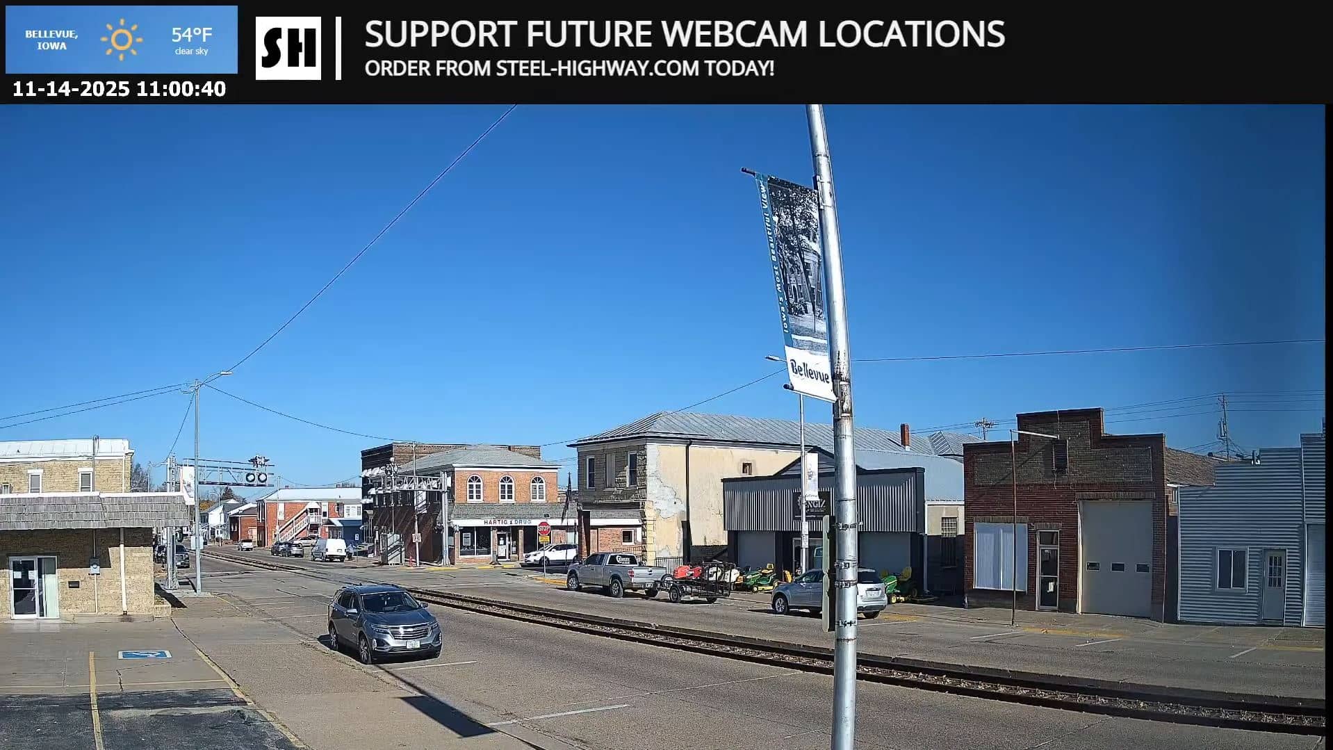
Iowa, United States — 33 km
Iowa, United States — 38 km
Iowa, United States — 48 km
Iowa, United States — 75 km
Iowa, United States — 101 km
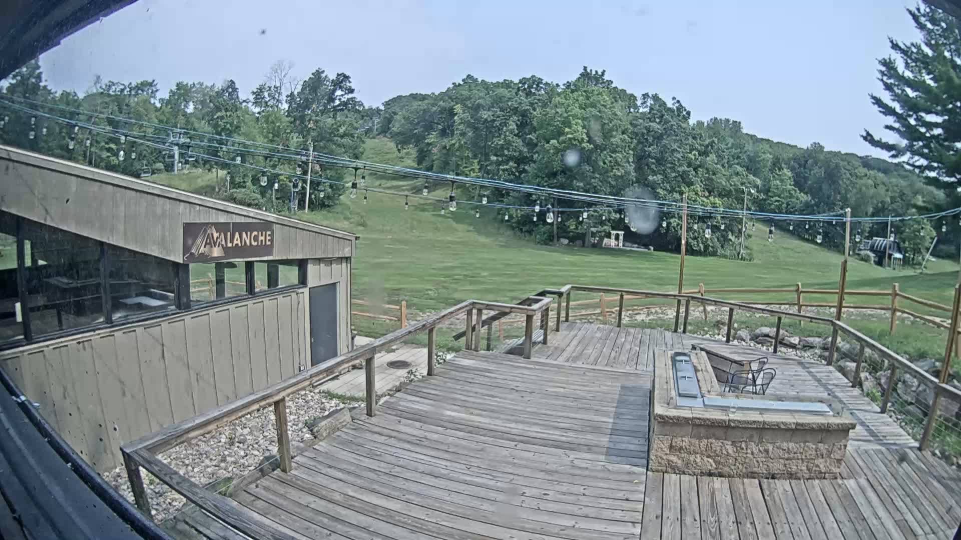
Wisconsin, United States — 108 km
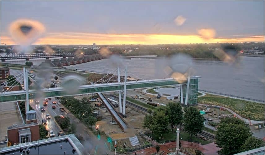
Iowa, United States — 109 km
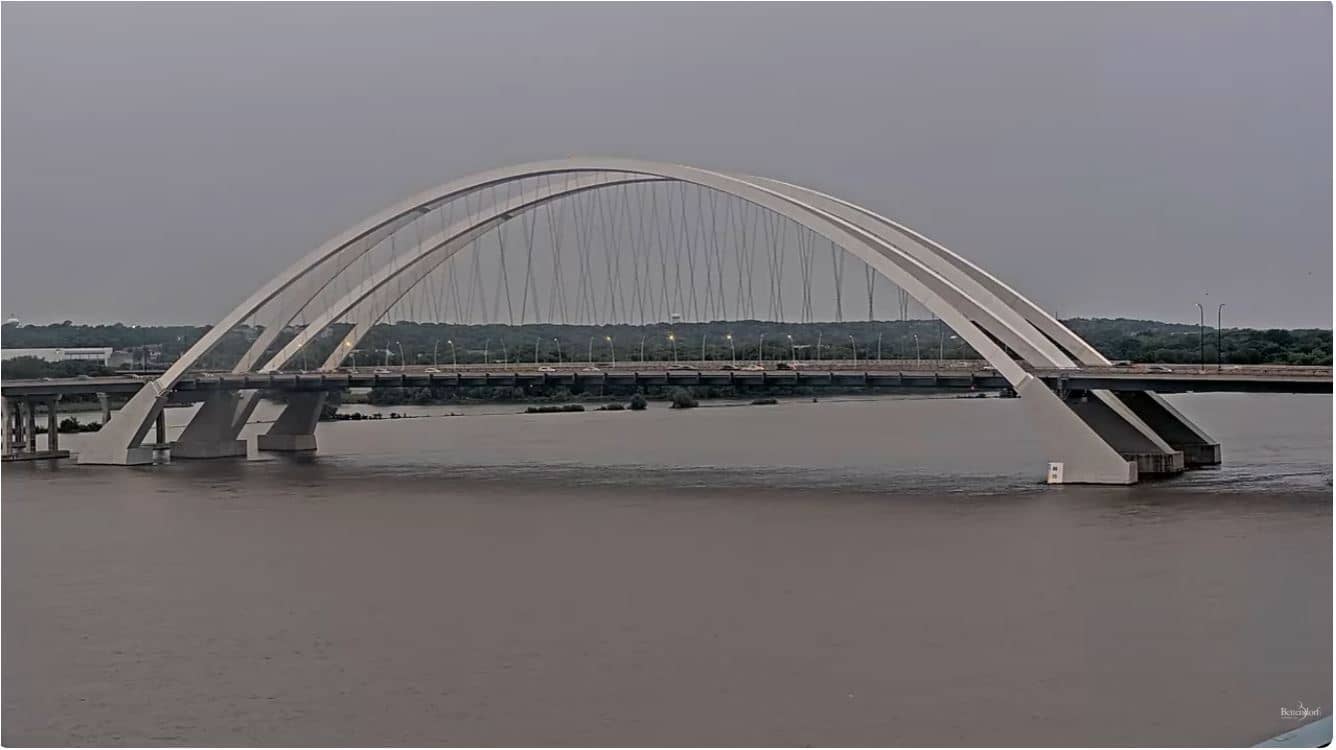
Iowa, United States — 110 km
The current conditions and a 3-day forecast for Dubuque are shown in the live weather block on this page, updated with the latest data.
The local time for Dubuque, which follows Central Time, is displayed on this page and updates automatically.
The camera is in Dubuque, Iowa, at about 42.50 north and 90.66 west, on the Mississippi River. The map on this page marks its location.
Weekday mornings and late afternoons are usually the busiest periods on the roads, and winter storms are when the feed is most informative about conditions.
Partner links: we may earn a commission at no extra cost to you.