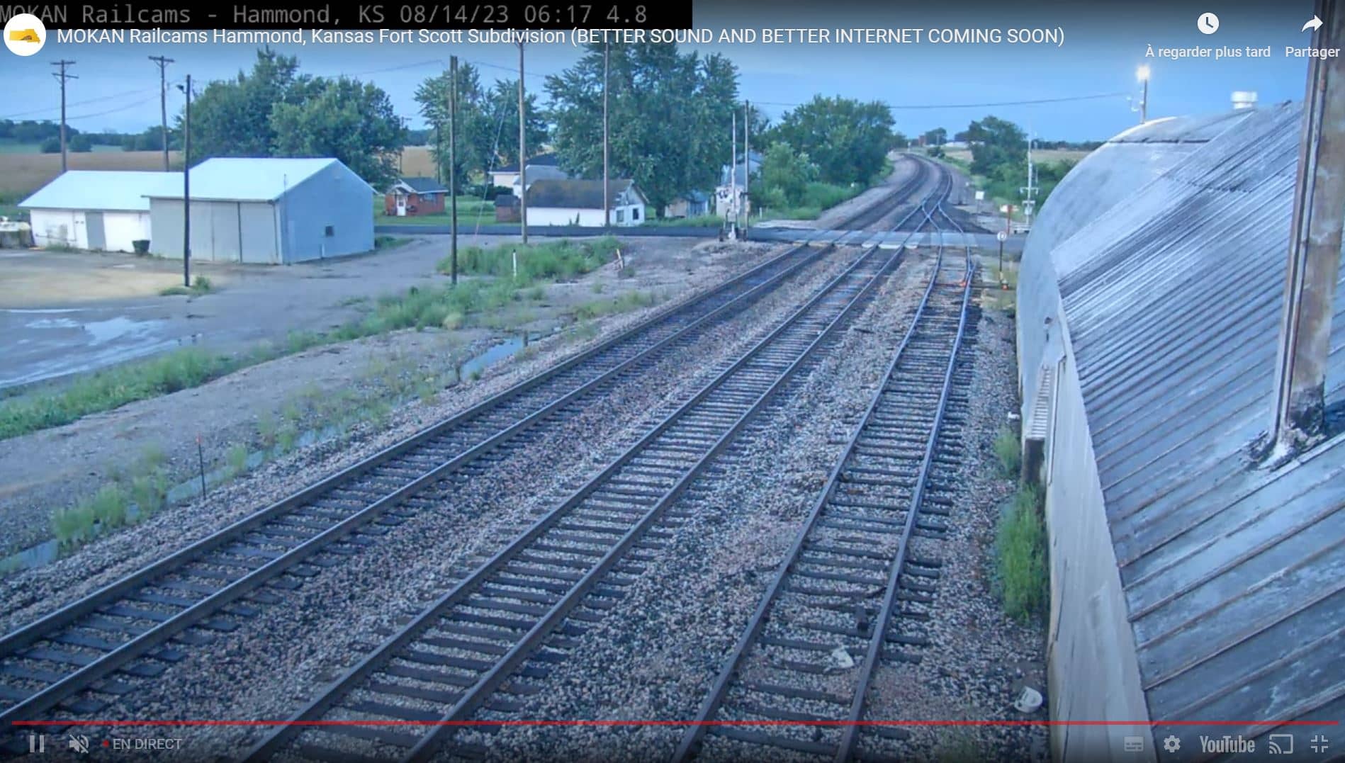
Osage
Kansas, United States — 0.1 km

Bourbon County - HAMMOND 1080P DO NOT DELETE
🇺🇸 Kansas · United States — Altitude 266 m
This live camera covers Bourbon County in southeastern Kansas, where the land is mostly open farmland and rolling prairie. It is useful if you want to see current conditions in the area or check how the weather is moving across the plains.
Bourbon County sits in the southeast corner of Kansas, close to the border with Missouri and Oklahoma. The landscape is largely flat to gently rolling, shaped by farming, pastureland and small towns. The area sits at a modest elevation, and the open skies typical of the Kansas plains dominate the view. It is a quiet, rural part of the state rather than a tourist centre.
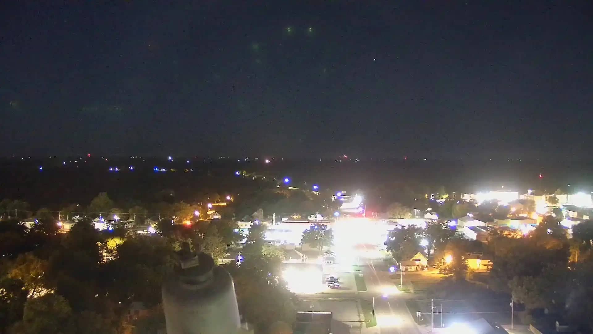
The feed is labelled with the Hammond name, which points to a view in or near the Hammond area. Depending on the view, you may see open fields, rural roads, tree lines and the sky, which is often the most changeable part of the picture. Mornings can bring low mist over the fields, while afternoons in spring and summer often bring building clouds and storms. Check the local time and weather blocks on this page to match the picture to current conditions.
Southeastern Kansas has hot, humid summers and cold winters, with spring and early summer the wettest seasons and severe thunderstorms possible. Spring and autumn are generally the most comfortable times to visit. Nearby cameras on VizCams include Osage and Hammond, both in the immediate area, as well as Miami Casino and Resort and Lexena West Weather Cam, roughly 100 km away.
Source: CamStreamer
Kansas, United States — 0.1 km
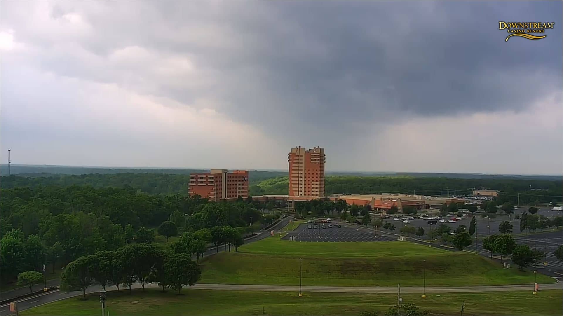
Oklahoma, United States — 104 km
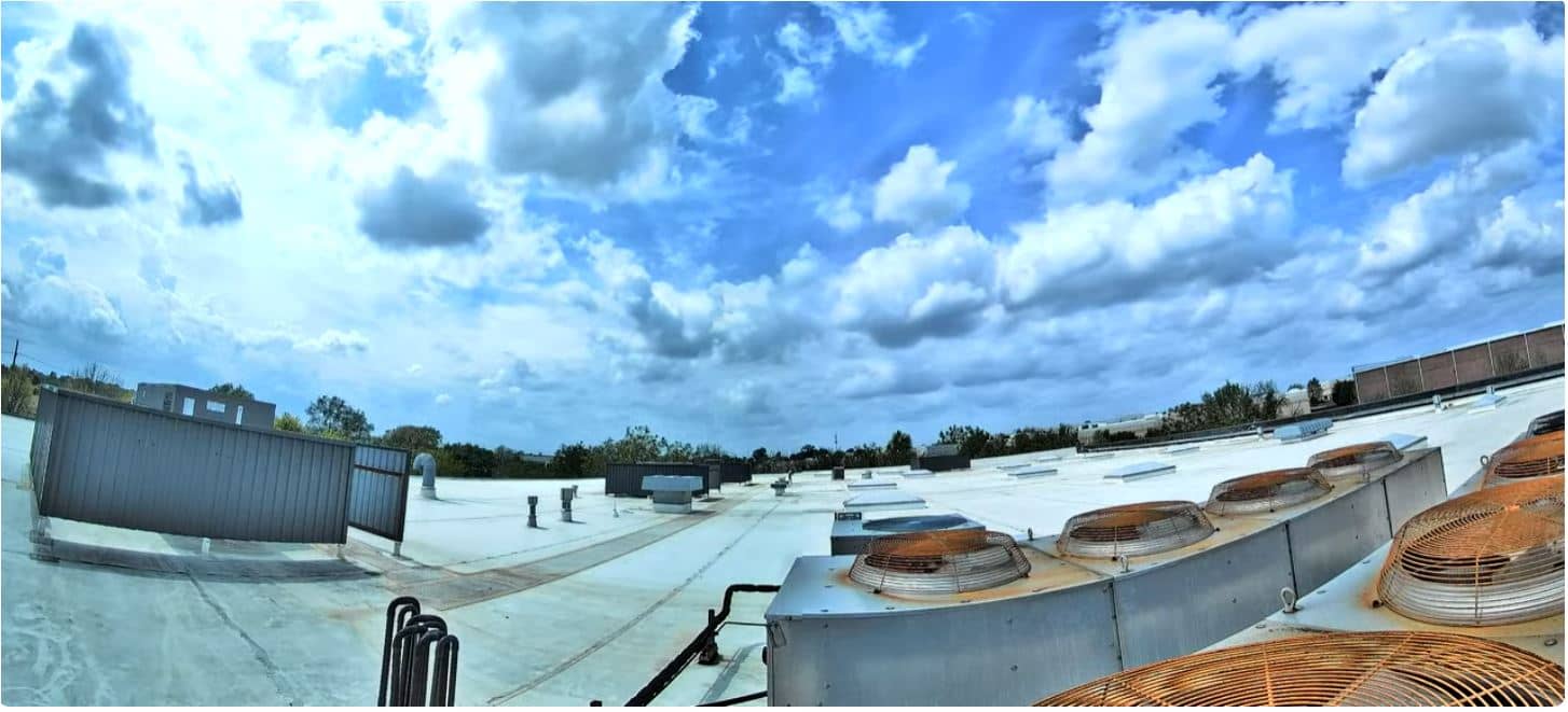
Kansas, United States — 113 km
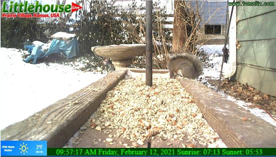
Kansas, United States — 118 km
Oklahoma, United States — 119 km

Kansas, United States — 123 km
Missouri, United States — 128 km

California, United States — 130 km

California, United States — 130 km

Cornwall, United Kingdom — 130 km
The current conditions and a three-day forecast for Bourbon County are shown in the weather block on this page. The figures update with the page, so check there for temperature, wind and rain.
The local time for Bourbon County is displayed on this page and follows the Central time zone used across this part of Kansas. The clock updates so you can compare the live picture with the current hour.
The camera is in Bourbon County in southeastern Kansas, United States, at roughly 266 metres above sea level. The map on this page shows its position, and the nearby camera list helps you find other views in the region.
Early morning and late afternoon usually give the clearest light on the fields, while spring and summer evenings often show the most dramatic skies. Watch during the day for weather changes, as storms can develop quickly on the plains.
Partner links: we may earn a commission at no extra cost to you.