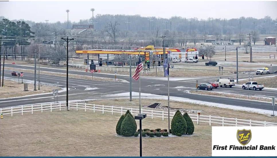
Cadiz
Kentucky, United States — 21 km
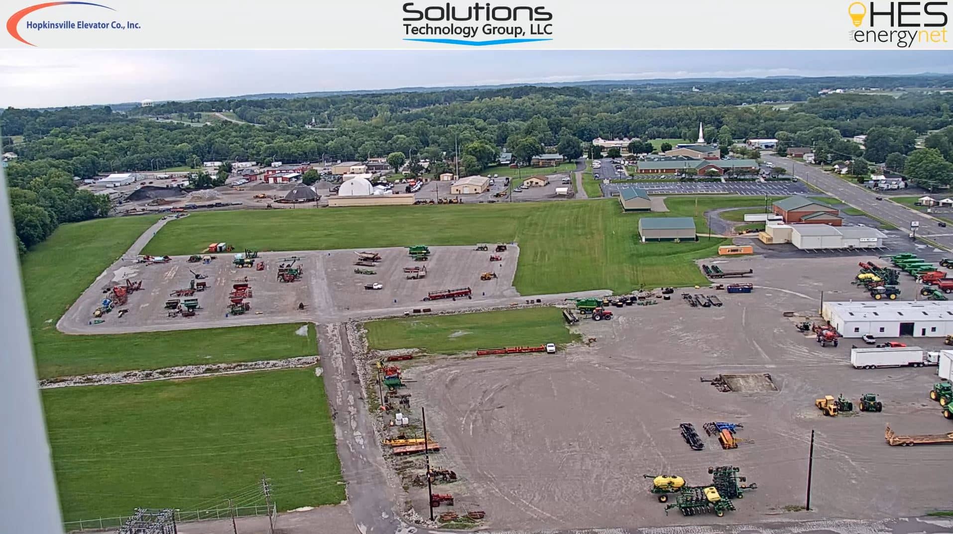
🇺🇸 Kentucky · United States — Altitude 163 m
This live camera looks out over Hopkinsville, a small city in the Pennyrile region of western Kentucky. Check the picture to see how the town looks right now, whether the sky is clear or overcast and how busy the streets are. It is a quick way to judge conditions before you travel or to keep an eye on the area from afar.
Hopkinsville sits in Christian County, roughly midway between Nashville and Evansville, on gently rolling land that drains toward the Little River. The city grew around agriculture, especially tobacco, corn and soybeans, and it is the county seat. Its downtown is compact, with older brick buildings, and the surrounding countryside is a patchwork of farmland, woodlots and small lakes. The town is also home to Fort Campbell's neighbouring communities and a steady flow of visitors passing through on the way to the Land Between the Lakes.
This camera is listed as a general town view, so the exact scene depends on the angle, and you may see streets, rooftops, trees or traffic depending on the view. Daytime gives the clearest picture, while early morning and late afternoon bring softer light that shows the lay of the land well. In spring and autumn the foliage and crop fields change colour noticeably, and summer storms can build quickly over the flat terrain, which is worth watching if you are planning a trip.
Hopkinsville has a humid subtropical climate with hot, humid summers and mild winters with occasional freezing spells. Spring and autumn are generally the most comfortable times to visit. The city is reached mainly by car, and the nearby camera locations in Cadiz, Central City, Dickson and Fairview give you a sense of the wider region as you plan a route through the area.
Source: Hopkinsville Webcam
Kentucky, United States — 21 km
Kentucky, United States — 69 km
Tennessee, United States — 83 km
Tennessee, United States — 95 km
Tennessee, United States — 103 km
Tennessee, United States — 103 km

Tennessee, United States — 105 km
Kentucky, United States — 106 km
Kentucky, United States — 115 km
Indiana, United States — 116 km
The current conditions and a 3-day forecast for Hopkinsville are shown in the weather block on this page, updated to the latest available data.
The local time for Hopkinsville, Kentucky is displayed on this page, based on the Central time zone used across the area.
The camera is located in Hopkinsville, the county seat of Christian County in western Kentucky. The map on this page marks its position for reference.
Daylight hours give the clearest view, and early morning or late afternoon light is often the most pleasant. Seasonal changes in foliage and fields are most visible in spring and autumn.
Partner links: we may earn a commission at no extra cost to you.