Louisville - Fairdale
Kentucky, United States — 12 km
Louisville - FC26- Axis P3265-LVE
🇺🇸 Kentucky · United States — Altitude 137 m
This live camera looks out over Louisville, the largest city in Kentucky, on the Ohio River. It is useful for a quick look at current conditions before you plan a trip or simply to see how the city looks right now.
Louisville sits on the Ohio River at the border with Indiana and is best known as the home of the Kentucky Derby and of bourbon distilling, with the Bourbon Trail running through the surrounding counties. The city blends an historic downtown, riverfront parks and leafy neighbourhoods. Its flat river setting and rolling hills to the east shape the views you see from high points around town.
The camera title does not describe the exact view, so treat the picture as a general look at the city rather than a specific landmark. Daylight hours give the clearest image, while early mornings and evenings often show river mist or changing cloud over the water. Seasonal foliage, rain and summer thunderstorms are common visual changes worth checking.
Louisville has a humid subtropical climate with hot, humid summers and cool winters, and spring and autumn are generally the most comfortable times to visit. Downtown is walkable, and the city is easy to reach by car or air. For comparison, you can also open nearby cameras in the region, such as Fairdale, Shively and the Louisville Zoo view.
Source: CamStreamer
Kentucky, United States — 12 km
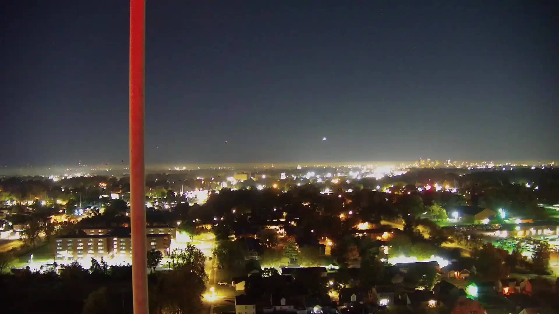
Kentucky, United States — 18 km
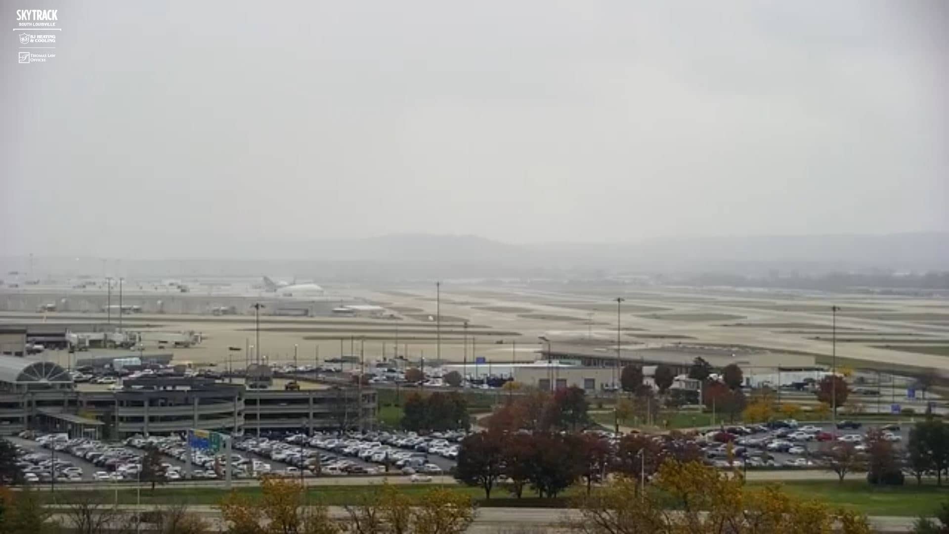
Kentucky, United States — 18 km

Kentucky, United States — 24 km

Kentucky, United States — 24 km

Kentucky, United States — 24 km
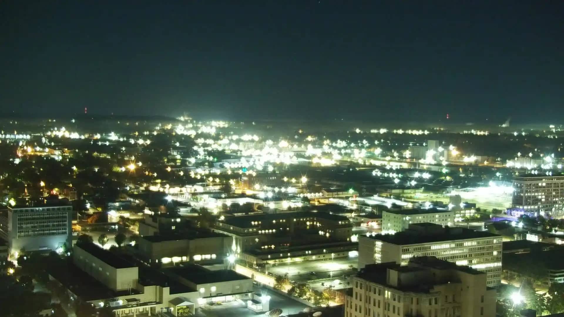
Kentucky, United States — 25 km
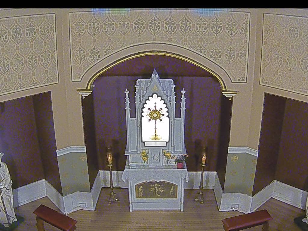
Indiana, United States — 27 km
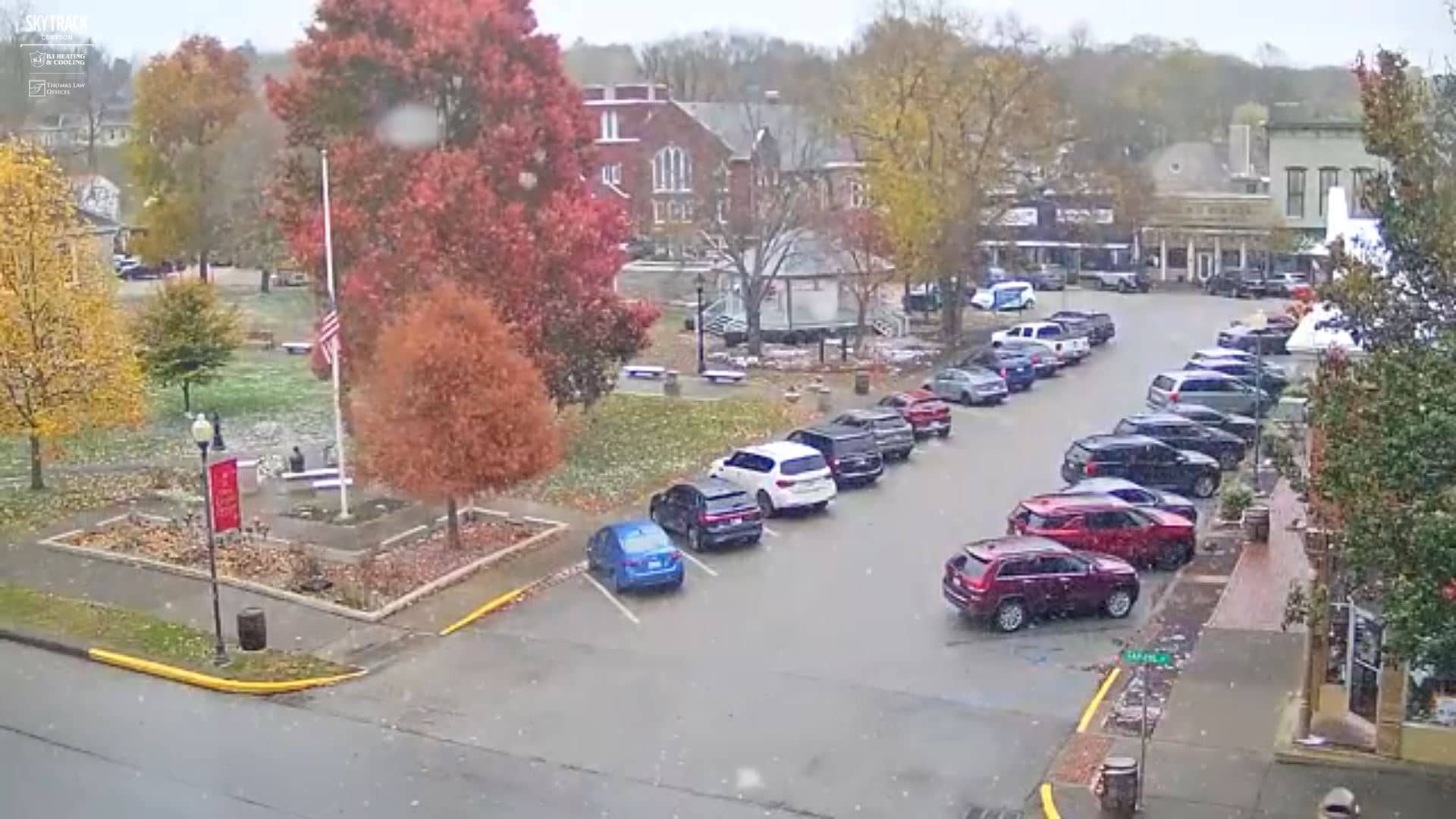
Indiana, United States — 27 km
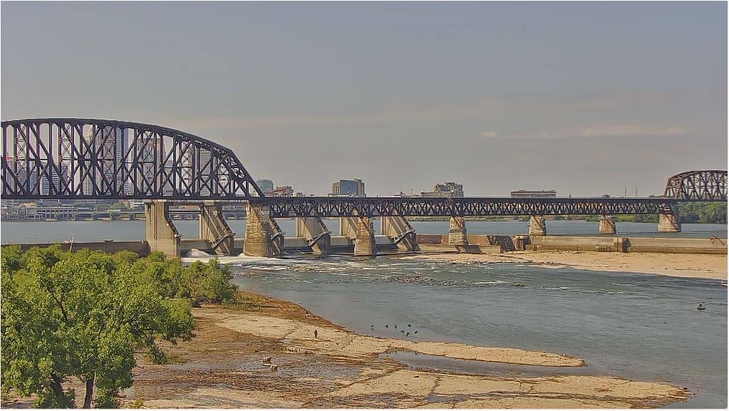
Ohio, United States — 28 km
The live weather block on this page shows current conditions in Louisville together with a 3-day forecast. It updates along with the camera, so you can check temperature and sky before looking at the picture.
The local time block on this page shows the current time in Louisville, Kentucky, which follows Eastern Time with daylight saving changes. Use it to see whether the city is in daylight.
The camera is located in Louisville, Kentucky, at roughly 137 metres above sea level. The map on this page marks its position, and the source link leads to the owner's stream.
Daytime is usually the clearest for viewing, and mornings or evenings may show river mist or dramatic light. Because the camera is a live feed, conditions can change quickly, so check during the hours that interest you most.
Partner links: we may earn a commission at no extra cost to you.