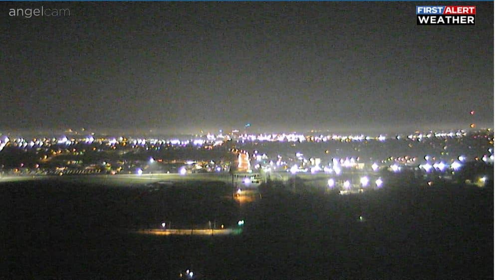
Lexington
Kentucky, United States — 76 km
🇺🇸 Kentucky · United States — Altitude 294 m
This live camera looks out over Morehead, a college town in northeastern Kentucky. The stream is embedded from its source, and the page adds local time, current conditions and a map so you can check the town before you watch. It suits anyone planning a trip, following Kentucky weather or simply curious about the area.
Morehead sits in the rolling hills of northeastern Kentucky, on the edge of the Appalachian foothills, at roughly 300 metres above sea level. It is best known as the home of Morehead State University and as a gateway to the Daniel Boone National Forest and the Cave Run Lake area. The surrounding landscape is forested ridges, farmland and quiet river valleys, which gives the town a calm, small-city feel.
The camera is listed under the general other category, so the exact view is best judged on the live player itself. Watching at different times of day will show how light changes across the hills, and seasonal shifts are most visible in spring greenery and autumn colour. Weather matters a great deal here, so the live conditions and forecast on this page help explain what you are seeing.
Kentucky summers are warm and humid, while winters are cold with occasional snow and ice, so spring and autumn are the most comfortable seasons to visit. Lexington lies about 76 km to the west and is the nearest larger city, with other cameras in the region including Richmond and Huntington. Check the forecast on this page before planning a drive through the hill roads.
Source: hazcams.com
Kentucky, United States — 76 km

Kentucky, United States — 82 km
West Virginia, United States — 97 km
Kentucky, United States — 98 km
Kentucky, United States — 105 km
Kentucky, United States — 111 km

Kentucky, United States — 117 km
Kentucky, United States — 119 km
Kentucky, United States — 119 km

Kentucky, United States — 126 km
Current conditions and a three-day forecast for Morehead are shown in the live weather block on this page. The figures update automatically, so you do not need to look them up elsewhere.
The local time for Morehead is displayed on this page and follows Eastern Time in the United States. It is shown live, so you can compare it with your own time zone.
The camera is in Morehead, Kentucky, at approximately 38.20 north and 83.56 west, about 294 metres above sea level. The map on the page marks its position in the town.
Daylight hours are the most useful for seeing the hills and town clearly, and the seasons change the scenery noticeably. Spring and autumn tend to be the most pleasant periods to watch and to visit.
Partner links: we may earn a commission at no extra cost to you.