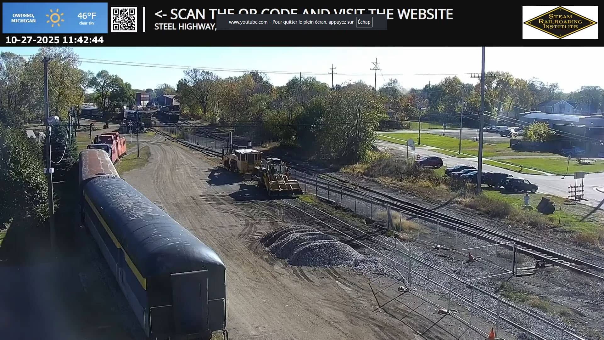
Owosso
Michigan, United States — 39 km
Flint - Cultural Center
🇺🇸 Michigan · United States — Altitude 220 m
This live view looks toward the Cultural Center in Flint, a city in east-central Michigan. It suits anyone curious about downtown Flint at a glance, whether you are planning a visit, following local news, or simply checking what the weather is doing there right now.
Flint sits on the Flint River in the Great Lakes region and grew up around the automobile industry, which shaped its streets, neighborhoods and civic buildings. Today the city is known for its museums, its music heritage and its efforts to rebuild its downtown. The Cultural Center is one of the places where that history and its ongoing revival meet, and the surrounding area reflects a mix of older brick architecture and newer public spaces.
The camera is a city view, so the image mainly shows the street scene, passing traffic and the weather conditions over downtown. Activity tends to be busiest on weekday mornings and late afternoons, while weekends can be quieter. Seasonal changes are easy to read here: snow and low winter light in the colder months, and fuller trees and longer days from late spring through summer.
Flint has a humid continental climate, with warm summers and cold, snowy winters, so the most comfortable months for walking around are May through September. The city is easy to reach by car from Detroit, roughly an hour's drive to the south. Nearby cameras on this site, including Owosso and Essexville, let you compare conditions across the region.
Source: myearthcam.com
Michigan, United States — 39 km

Michigan, United States — 54 km
Michigan, United States — 54 km
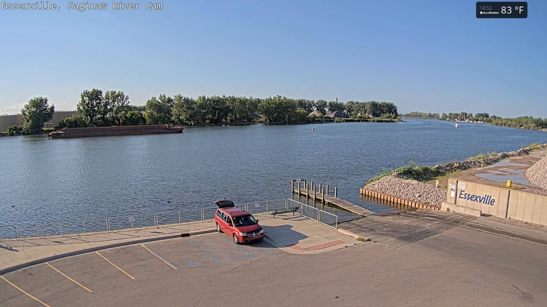
Michigan, United States — 64 km
Michigan, United States — 78 km

Michigan, United States — 78 km

Michigan, United States — 80 km
Michigan, United States — 92 km
Michigan, United States — 92 km
Michigan, United States — 103 km
The current conditions and a 3-day forecast for Flint are shown in the live weather block on this page. The values update automatically, so you always see the latest data for the city.
The local time for Flint is displayed on this page and updates live. Flint follows Eastern Time in the United States, which includes daylight saving changes.
The camera is in downtown Flint, Michigan, at approximately 43.0162 north and 83.6900 west. The map on this page marks its position and the surrounding area.
Weekday mornings and late afternoons usually show the most movement on city streets. In winter, the view is most interesting after fresh snow, and in summer, during the longer evenings.
Partner links: we may earn a commission at no extra cost to you.