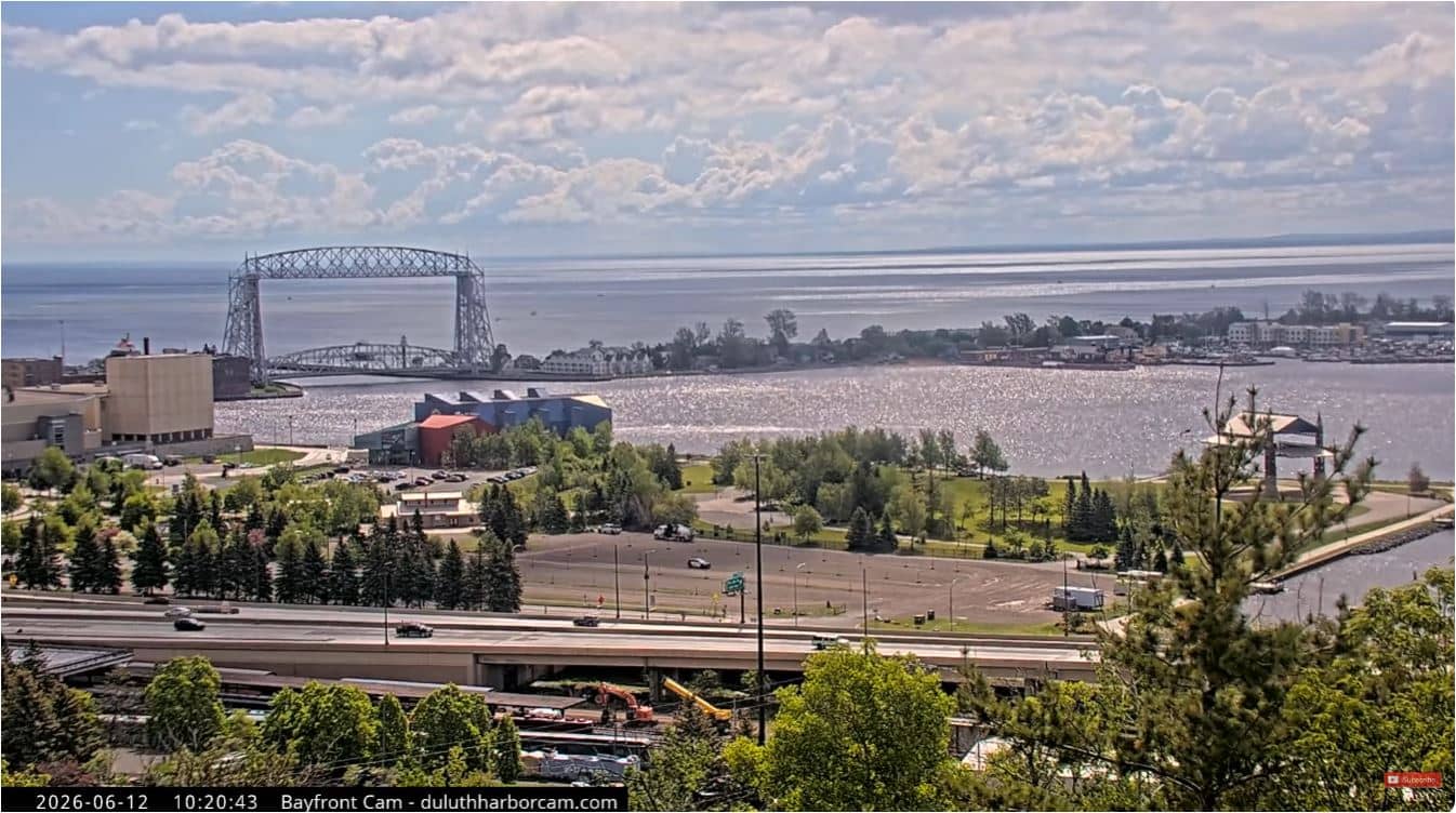
Duluth - Bayfront
Minnesota, United States — 0.3 km
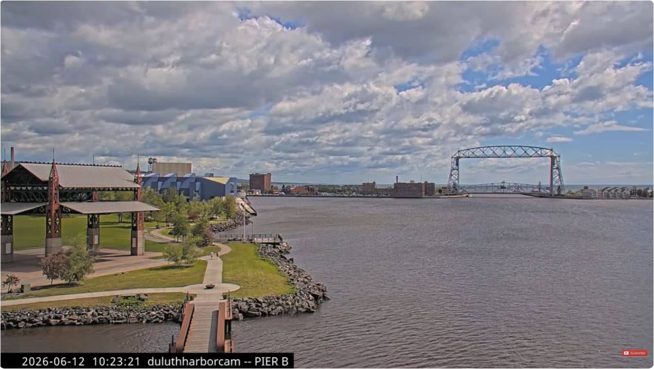
Duluth - Pier B Hotel
🇺🇸 Minnesota · United States — Altitude 178 m
This live camera looks out over the harbor at Duluth, a port city on the western tip of Lake Superior. It is a useful way to check how the water and sky look before planning a walk along the waterfront. The page also shows local time and the current weather with a short forecast.
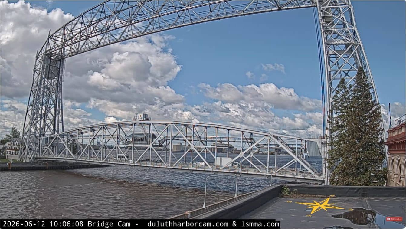
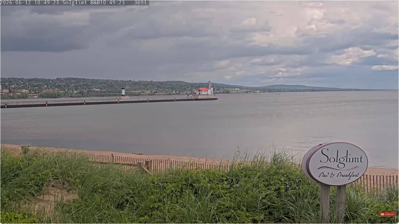
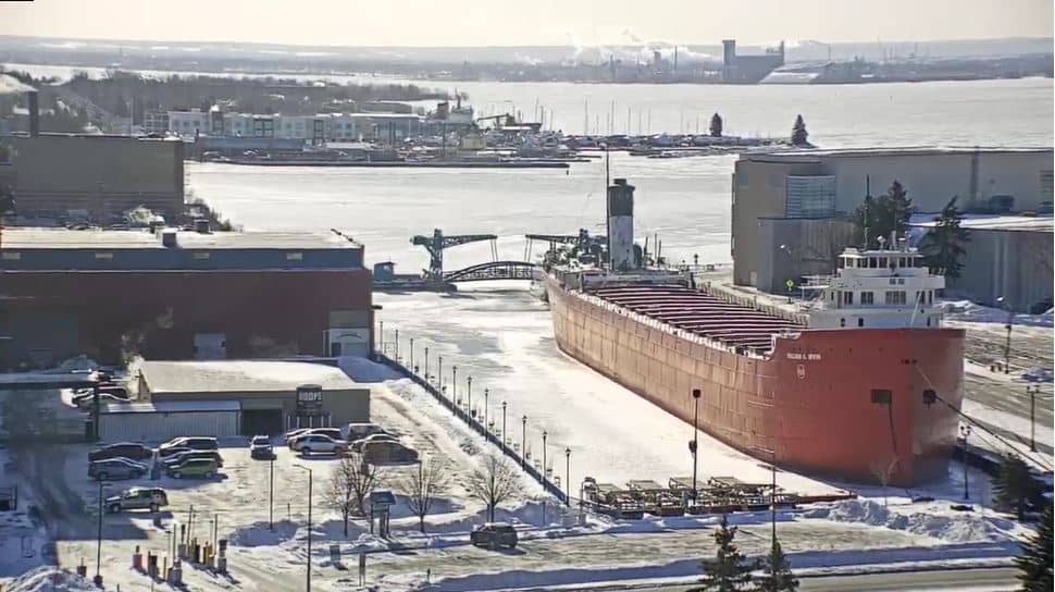
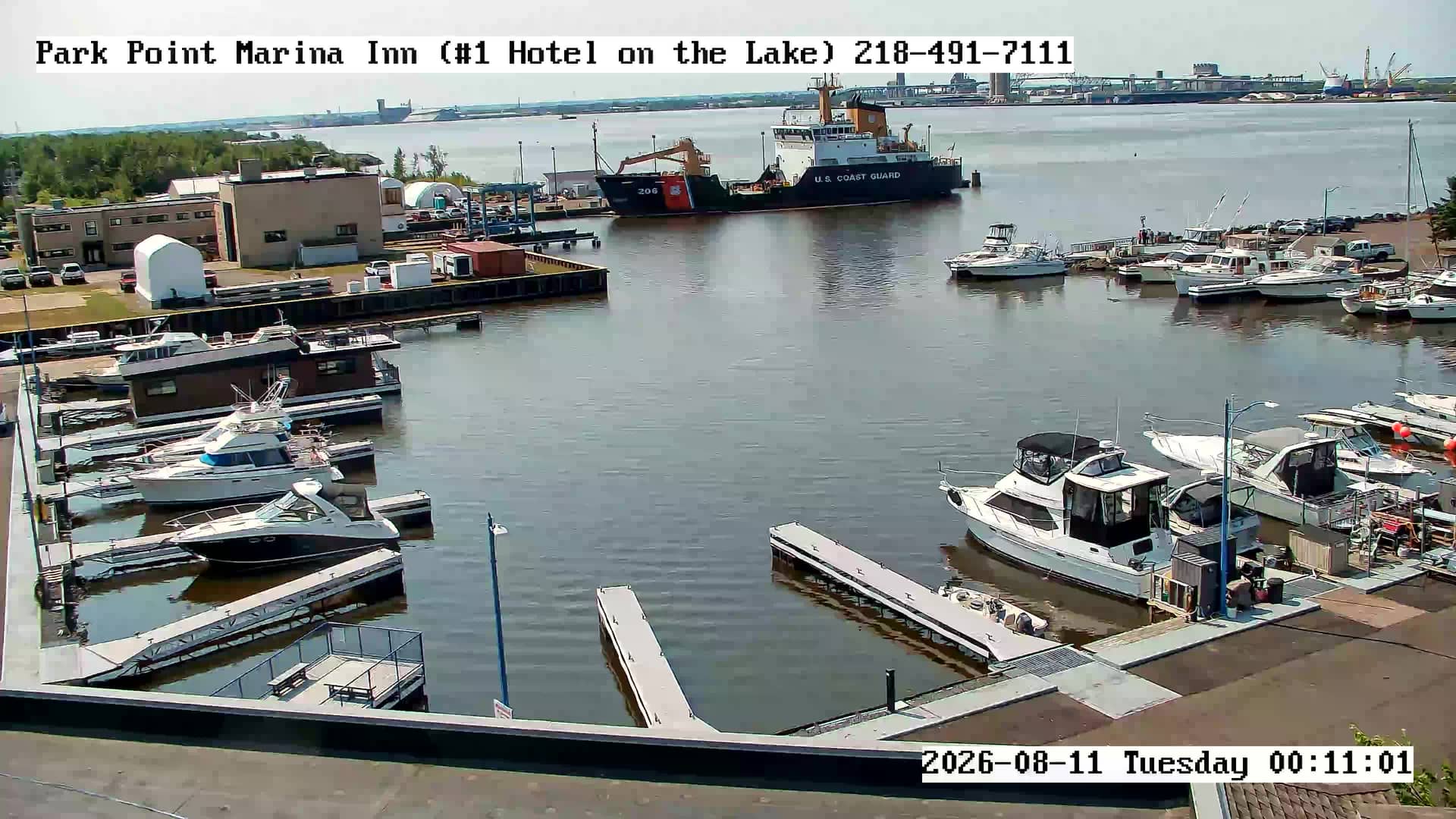
Duluth sits where the St. Louis River meets the largest freshwater lake in the world by surface area. The city grew around shipping, grain and iron ore, and its working port is still one of the busiest on the Great Lakes. The waterfront combines industrial docks with parks, trails and a historic lift bridge that has become a local landmark. The hills rising steeply from the lake give the city a distinctive look from any vantage point.
The title points to a view from the Pier B area, so the frame is most likely centered on the harbor and the lake beyond it. Depending on the view, you may see lake freighters moving in and out, weather rolling across open water, and changing light over the hills. Early mornings and late afternoons are usually the most atmospheric, and clear days give the best contrast on the water. Fog and wind can shift the scene quickly, so the live feed is worth checking before you go.
Duluth has a cold continental climate, with long, snowy winters and cool summers moderated by the lake. The most pleasant months for walking the waterfront are generally June through September. The nearby Bayfront, Great Lake Aquarium, Canal and Bridge cameras show neighboring parts of the harbor and are a good way to compare conditions across the area. The city is compact enough to explore on foot in the downtown and harbor zones.
Source: DuluthHarborCam1
Minnesota, United States — 0.3 km
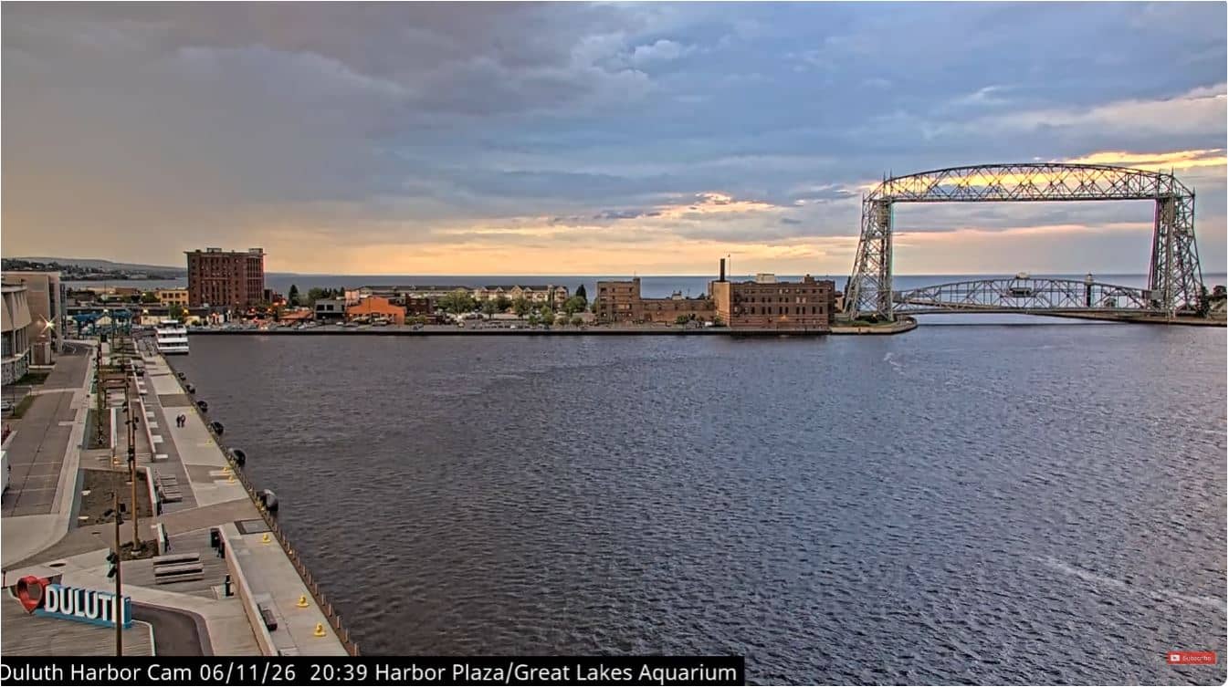
Minnesota, United States — 0.7 km
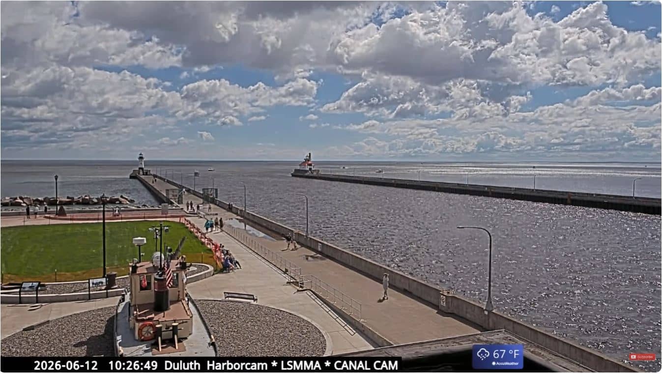
Minnesota, United States — 1.1 km
Minnesota, United States — 1.1 km
Minnesota, United States — 1.4 km
Minnesota, United States — 1.4 km
Minnesota, United States — 1.6 km
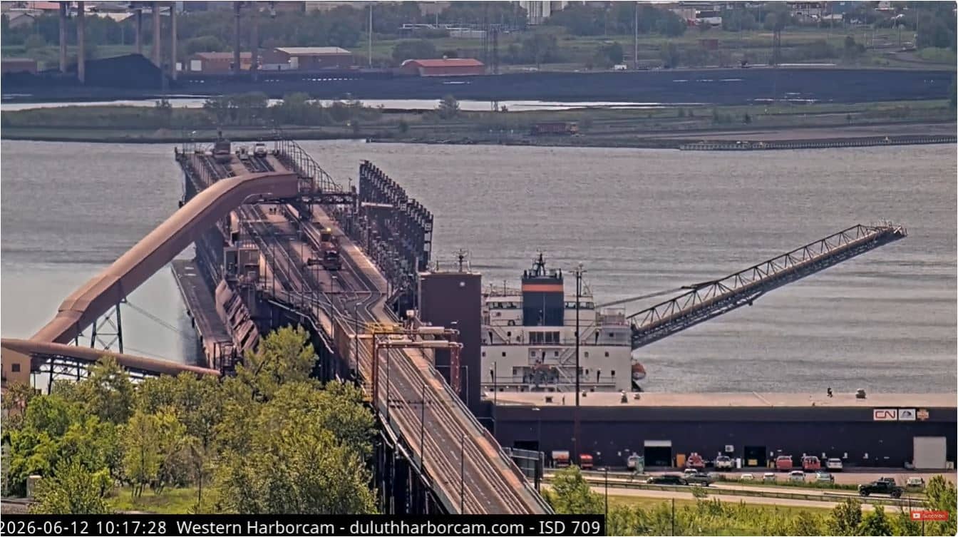
Minnesota, United States — 4.1 km
Wisconsin, United States — 4.2 km
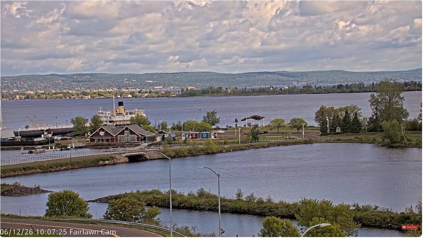
Minnesota, United States — 8 km
The current conditions and a three-day forecast for Duluth are shown in the weather block on this page. They update automatically, so you can see the latest temperature, wind and sky conditions alongside the live view.
The local time for Duluth, Minnesota, is displayed on this page in the Central time zone. It updates with the live feed so you can plan a visit or call with the right time in mind.
The camera is located in the Duluth harbor area on the shore of Lake Superior at about 178 meters above sea level. The map on this page marks its position so you can see how it sits relative to the waterfront.
Early morning and late afternoon often bring the most interesting light over the water, and summer months show the most ship traffic. Check the live feed on a clear day for the clearest view of the lake and hills.
Partner links: we may earn a commission at no extra cost to you.