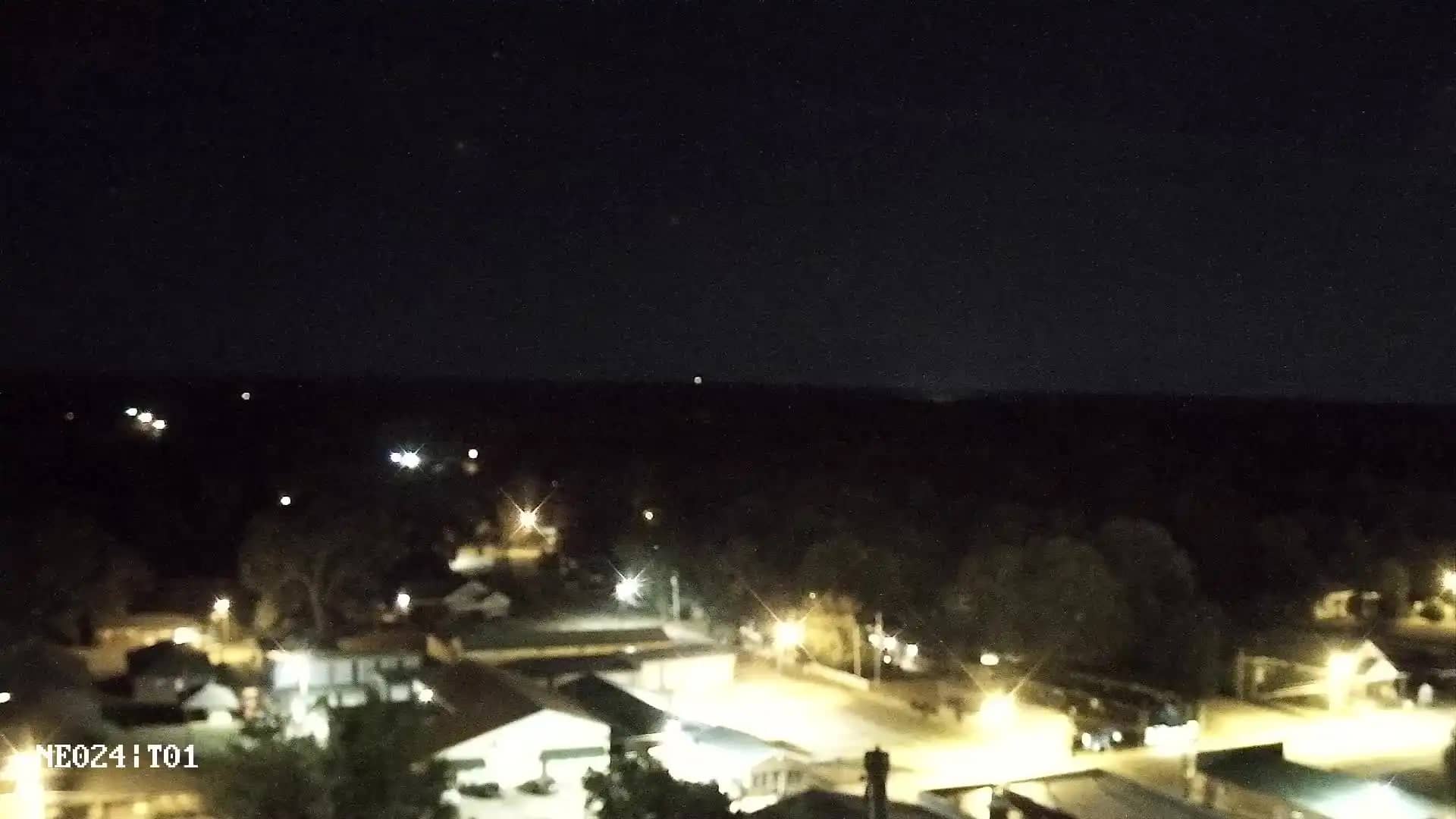
Caledonia
Mississippi, United States — 26 km
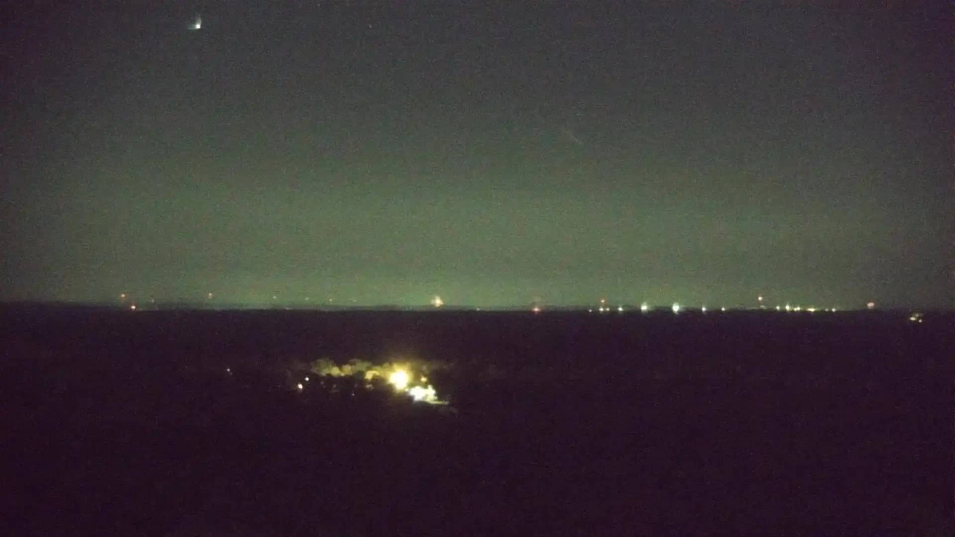
West Point
🇺🇸 Mississippi · United States — Altitude 75 m
This live camera looks out over West Point, a small city in Clay County in northeast Mississippi. The feed gives you a real-time view of the town and its surroundings, so you can see current conditions before planning a trip or checking on the area.
West Point sits in the rolling hill country of northeast Mississippi, roughly 75 meters above sea level. The area is known for its farmland, forests and small-town character, with the Tombigbee River region nearby shaping much of the local landscape. It is a quiet place where agriculture and light industry have long shaped daily life, and the surrounding countryside feels open and green for much of the year.
The camera is most useful for checking how the sky and weather look right now, especially if you are deciding whether to travel through the region. Depending on the view, you may notice changes in cloud cover, haze, rain or fog, and seasonal shifts in vegetation. Early morning and late afternoon often show the clearest light, while summer storms can build quickly over the flat ground.
West Point has a humid subtropical climate with hot, humid summers and mild winters. Spring and autumn are generally the most comfortable months for visiting. Nearby cameras in Caledonia, Aberdeen, Starkville and Amory let you compare conditions across the region, which is helpful when you are driving between towns.
Because the stream is live, it reflects the present moment rather than a forecast. Pair the picture with the local weather and time shown on this page to get a fuller sense of conditions. The live view is owned and operated by its source, and this page links back to it for the original stream.
Source: hazcams.com
Mississippi, United States — 26 km
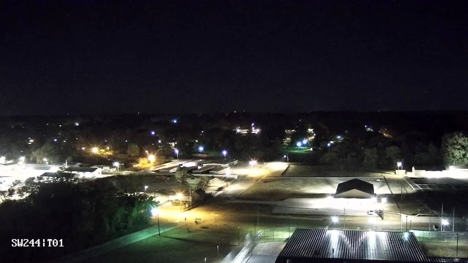
Mississippi, United States — 27 km
Mississippi, United States — 33 km
Mississippi, United States — 43 km

Mississippi, United States — 46 km
Mississippi, United States — 49 km
Mississippi, United States — 56 km
Alabama, United States — 59 km
Mississippi, United States — 59 km
Mississippi, United States — 62 km
The current weather and a three-day forecast for West Point are shown in the live block on this page. The values update automatically, so you can check conditions before heading out.
The local time for West Point is displayed on this page and follows the Central time zone used across this part of Mississippi. It updates live alongside the camera.
The camera is in West Point, Mississippi, in the northeast of the state, at approximately 33.59 degrees north and 88.59 degrees west. The map on this page shows its position.
Daytime hours give the clearest view, and early morning or late afternoon often show the most attractive light. Weather changes are most noticeable during spring and summer storm season.
Partner links: we may earn a commission at no extra cost to you.