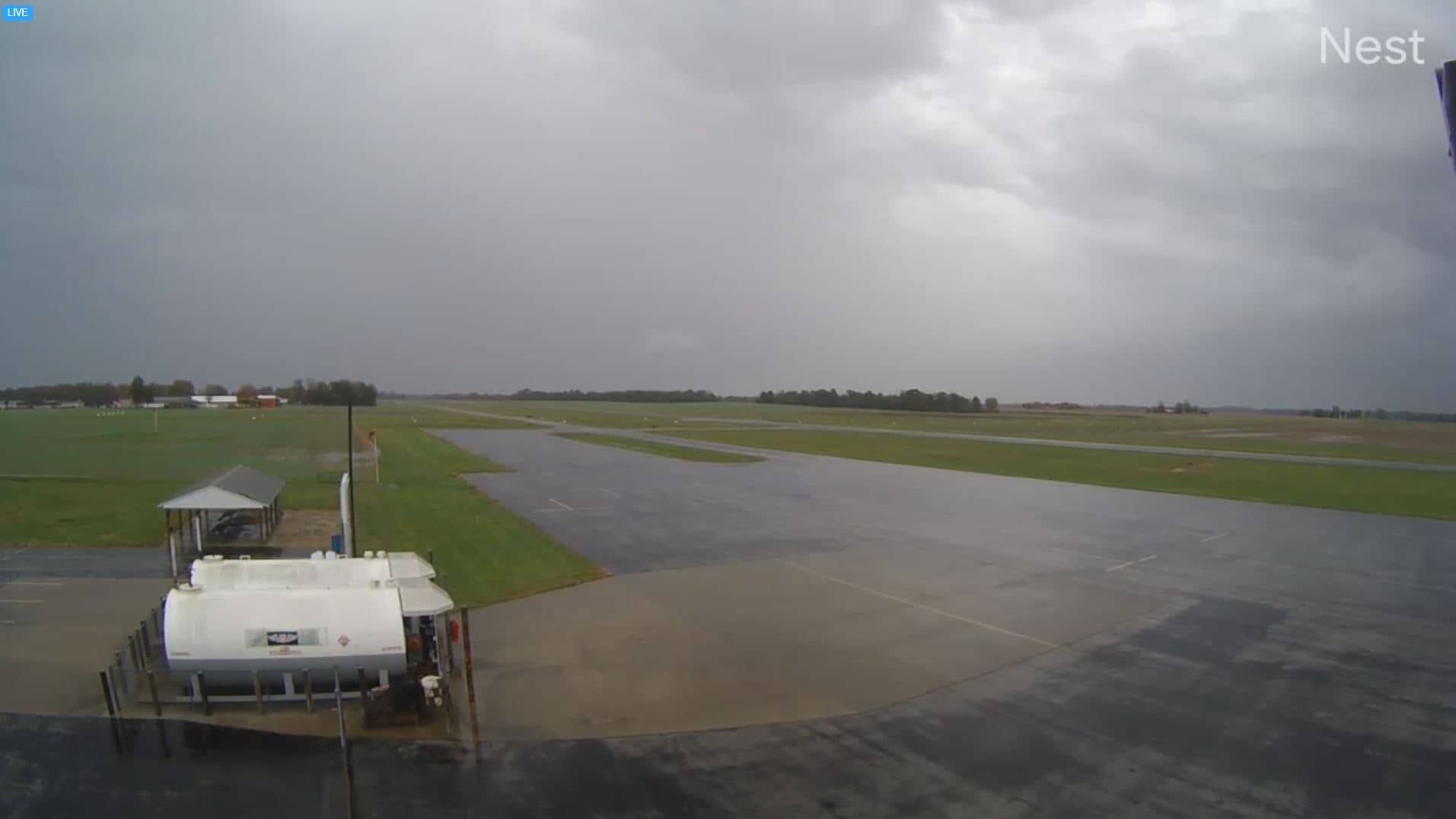
Sparta
Illinois, United States — 0.2 km
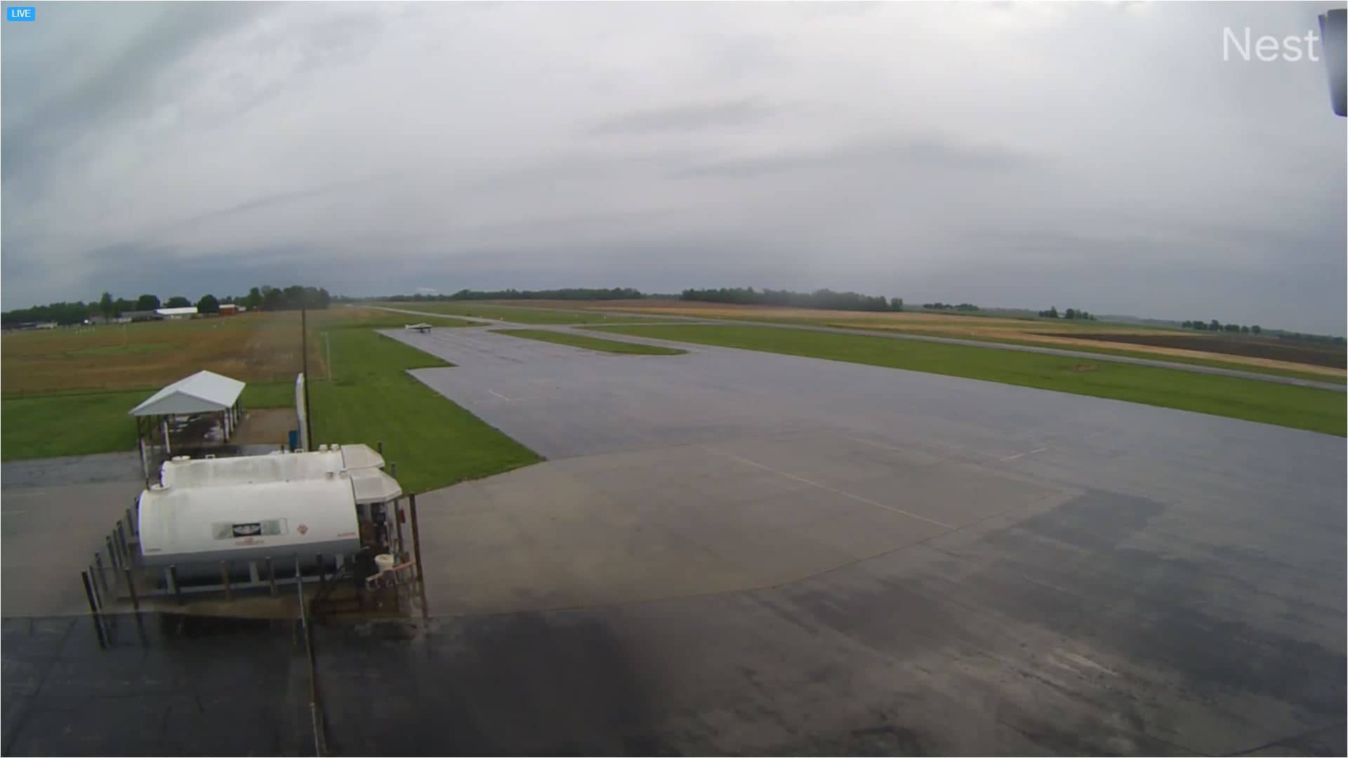
Sparta - Community Airport
🇺🇸 Missouri · United States — Altitude 164 m
This live camera looks out over the Sparta Community Airport, a small general aviation field in southwestern Missouri. It suits anyone curious about light aircraft traffic, runway conditions or simply how a quiet rural airfield looks through the day. The page also shows local weather so you can judge flying conditions at a glance.
Sparta is a small community in Randolph County, a rolling farming landscape in the Midwest. The community airport serves local pilots and private flights rather than commercial airline service, so activity tends to be light and unhurried. The surrounding countryside is mostly fields, woodland patches and farm buildings, which gives the area a calm, open character.
Depending on the view, you may see the runway, taxiways and any aircraft parked or taking off and landing. Early morning and late afternoon are often the most interesting, when pilots tend to fly in better light. Weather changes such as fog, rain or strong crosswinds can noticeably affect what happens on the field, so the live weather block on this page is worth checking alongside the picture.
The region has hot, humid summers and cold winters, with spring and autumn usually the most pleasant for visiting. Sparta sits at roughly 164 metres above sea level. The larger town of Waterloo is about 45 km away, and the Carlyle lakeside cameras are around 61 km off, if you want to see more of the area.
Source: fox2now.com
Illinois, United States — 0.2 km
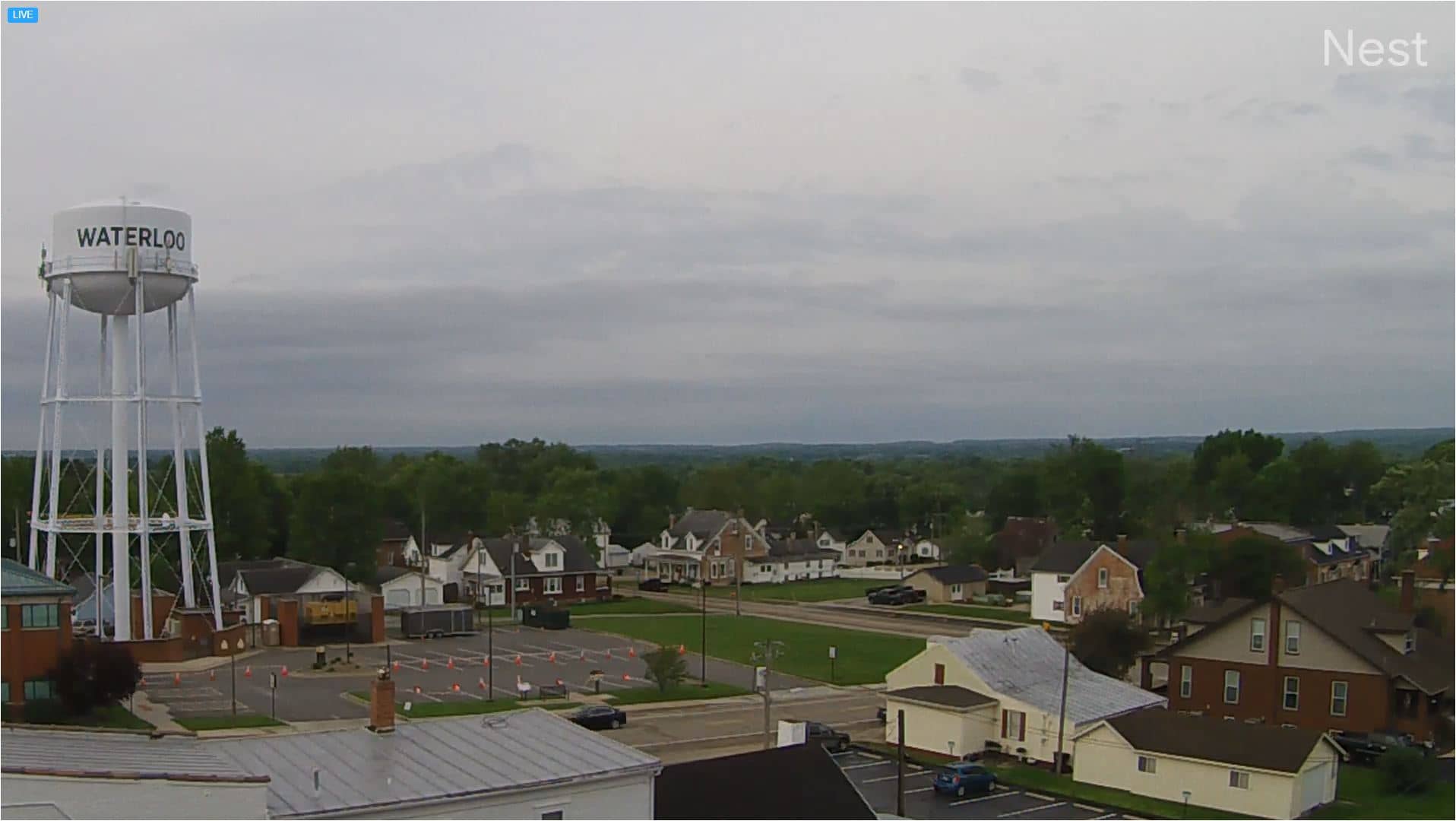
Illinois, United States — 45 km
Illinois, United States — 61 km
Illinois, United States — 61 km
Missouri, United States — 68 km

Missouri, United States — 68 km
Missouri, United States — 68 km
Missouri, United States — 69 km
Missouri, United States — 71 km
Missouri, United States — 75 km
The current conditions and a three-day forecast for Sparta are shown in the weather block on this page. They update automatically, so you can check visibility and wind before relying on what you see in the live view.
The local time for Sparta is displayed on this page and follows the Central time zone used across this part of the United States, including any daylight saving changes.
The camera is located at the community airport in Sparta, Missouri, at approximately 38.14 degrees north and 89.70 degrees west. The map on this page shows the exact position.
Early mornings and late afternoons are usually the most active, and clear days give the clearest view. Activity is generally light, so quieter periods are normal.
Partner links: we may earn a commission at no extra cost to you.