Missoula
Montana, United States — 13 km
🇺🇸 Montana · United States — Altitude 967 m
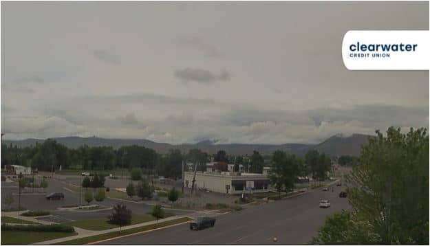
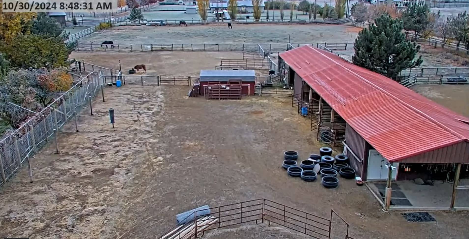
This live stream shows the Missoula area in western Montana, through a feed run by Dunrovin Ranch. It is useful for checking the sky and conditions over the Missoula valley before you head out. The page adds local time and weather so you can read the view in context.
Missoula sits at about 970 metres in a broad valley where the Clark Fork, Bitterroot and Blackfoot rivers meet, surrounded by forested mountains. It is a university town known for its outdoor culture, with trails, rivers and ski areas within easy reach. The surrounding landscape changes quickly with elevation, so the valley floor and the high ridges can have very different weather on the same day.
The title names only the city, so the exact framing is best judged from the live player itself. Views from ranch and rural locations like this often take in open land, the valley and distant mountains, depending on the angle. Mornings and late afternoons usually give the clearest light and the most dramatic shadows on the hills, while winter snow or summer haze can change the scene considerably.
Missoula has warm, dry summers with frequent sunshine and cold, snowy winters, and spring can be windy and changeable. The best months for hiking and river activities are usually June through September. Nearby VizCams cameras include Granite County at Warren Peak, Polson and Lincoln, which can help you compare conditions across western Montana.
Source: Dunrovin Ranch
Montana, United States — 13 km
Montana, United States — 14 km
Montana, United States — 76 km
Montana, United States — 97 km
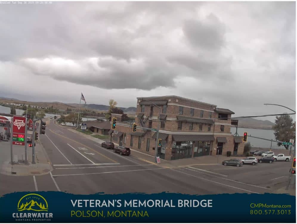
Montana, United States — 104 km
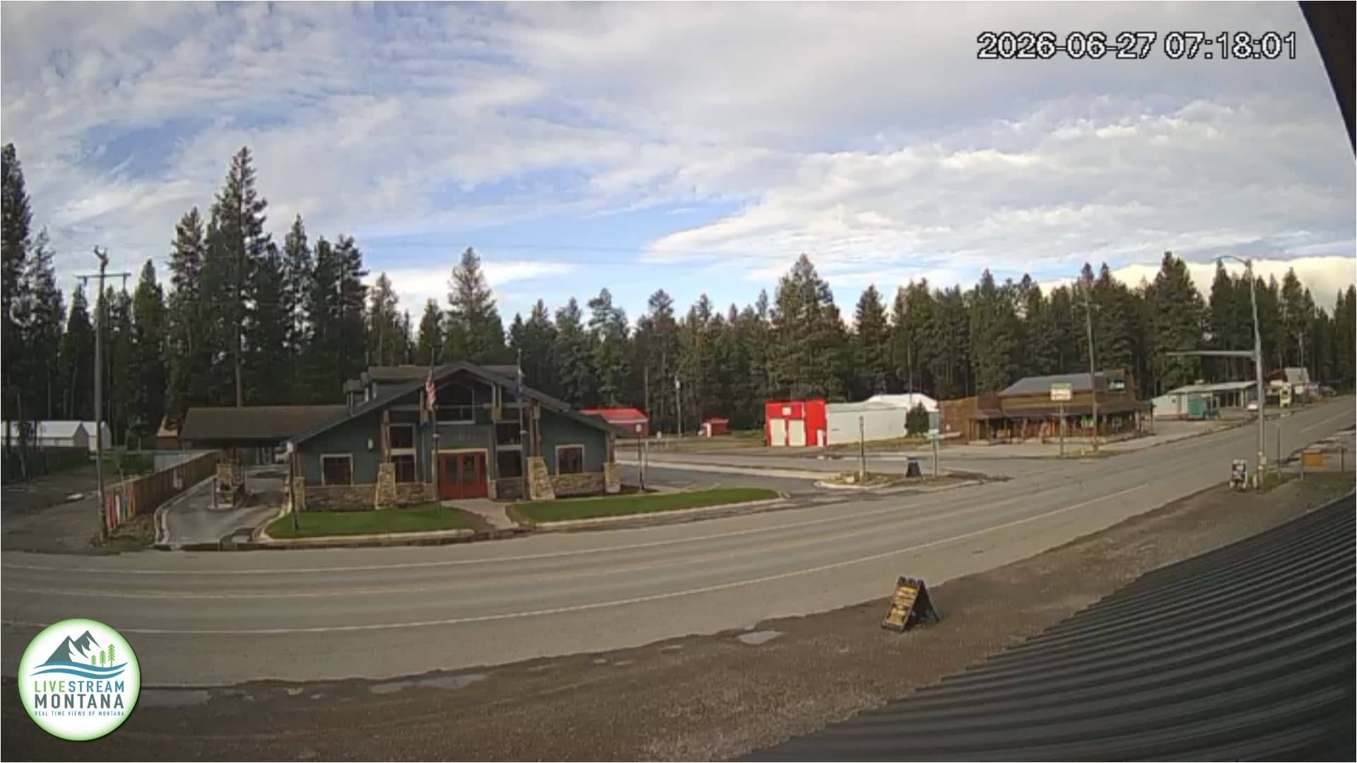
Montana, United States — 108 km
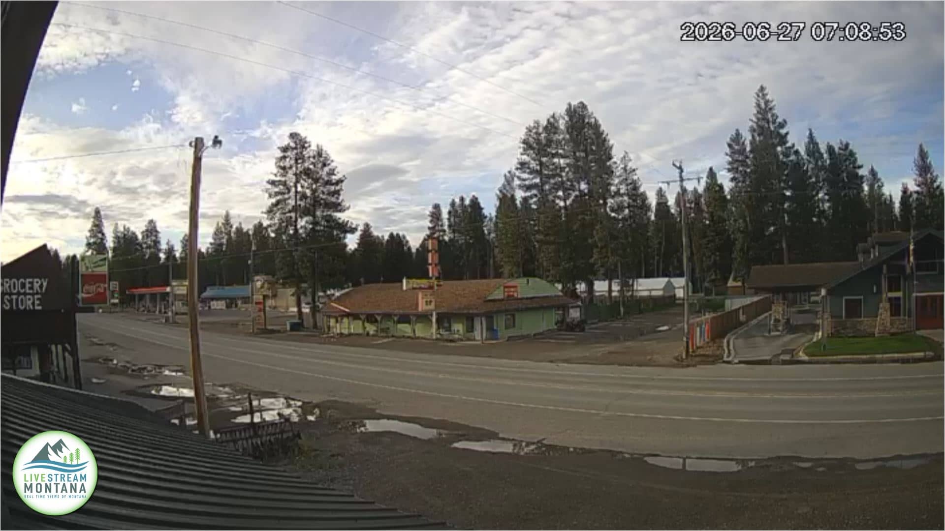
Montana, United States — 108 km
Montana, United States — 133 km
Montana, United States — 138 km
Montana, United States — 141 km
The current conditions and a three-day forecast are shown in the weather block on this page. They update automatically, so you can compare them with the live view.
The local time for Missoula is displayed on this page, following the Mountain time zone used in the region. The clock updates on its own.
The camera is located in the Missoula area of Montana, at roughly 46.76 north and 114.07 west. The map on this page shows its position in relation to the city.
Early morning and late afternoon often give the clearest light and the best contrast on the surrounding hills. Check the live weather first, since clouds, smoke or snow can change the view quickly.
Partner links: we may earn a commission at no extra cost to you.