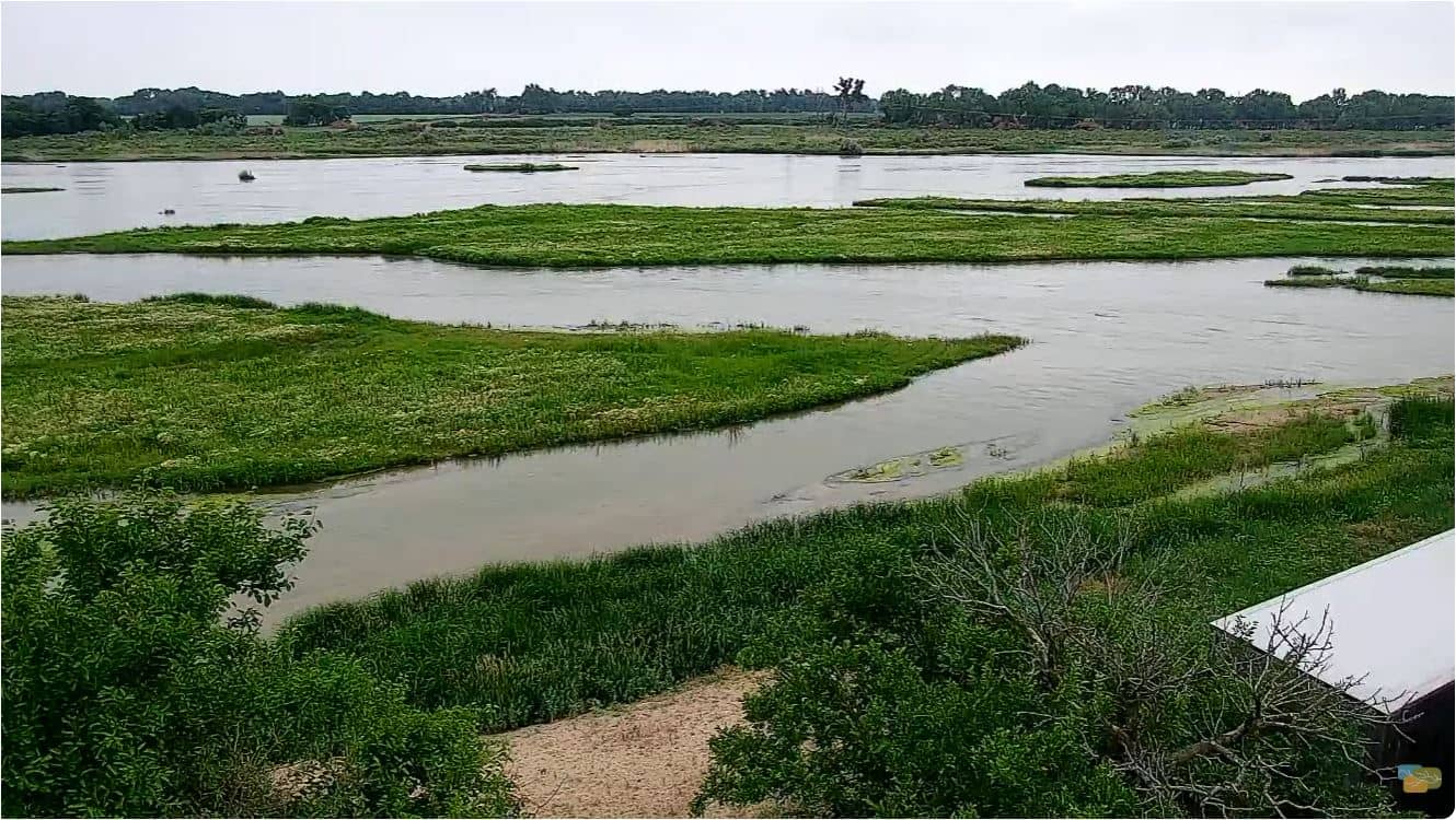
Gibbon - Rowe Sanctuary
Nebraska, United States — 17 km
Kearney - Viaero Event Center
🇺🇸 Nebraska · United States — Altitude 661 m
This live camera looks out over Kearney, a college city in south-central Nebraska on the Platte River. Use it to check conditions on the ground before you drive in, or simply to see how the city looks at this hour.
Kearney sits on the Great Plains about 260 kilometres west of Omaha, along the Platte River valley. The city is home to the University of Nebraska at Kearney, which gives it a steady rhythm of students and events throughout the year. The surrounding land is mostly farmland, with wide open skies and flat horizons that make weather changes easy to see from a distance. Its setting is calm and practical rather than dramatic.
The camera is a live feed from the Viaero Event Center, so the view is best during daylight hours when the sky and street activity are clearly visible. Plains weather can shift quickly, and afternoon storm clouds are often the most striking thing to follow in summer. During the academic year, you may notice more movement around campus and venue areas on event days. The image is shown as the source provides it, and the picture quality cannot be confirmed here.
Kearney has a continental climate with hot summers and cold, often windy winters, so spring and early autumn are the most comfortable times to visit. Interstate 80 runs close to the city, making it a common stop for travellers crossing the state. Nearby, the Rowe Sanctuary in Gibbon, about 17 kilometres away, is well known for its sandhill crane migration along the Platte, and you can compare its live view on VizCams. Ravenna and the Aurora cameras are also within reach for a wider look at the region.
Source: viaero.com
Nebraska, United States — 17 km
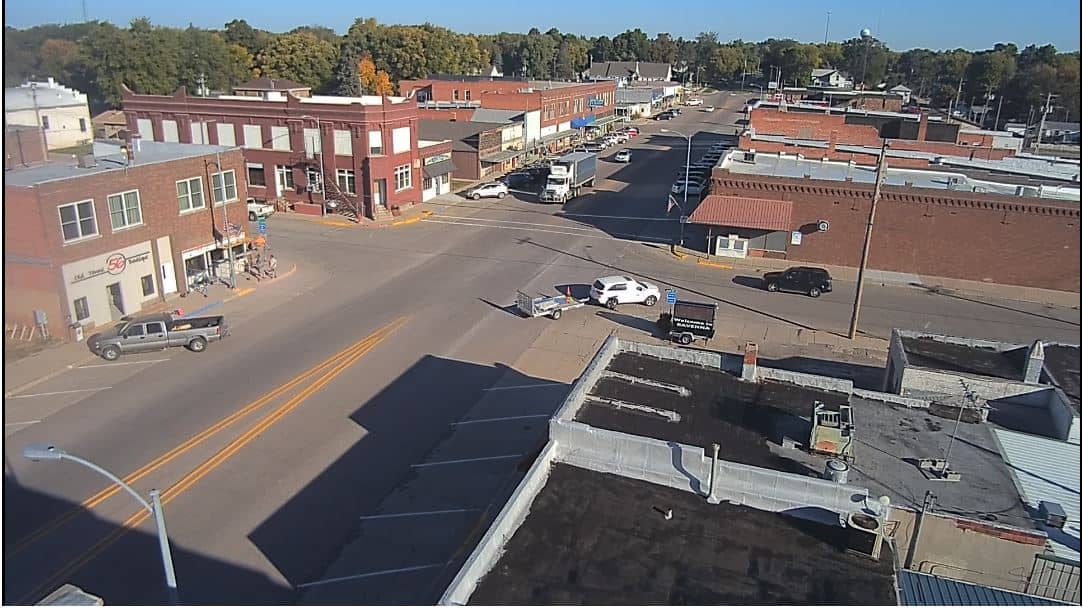
Nebraska, United States — 43 km
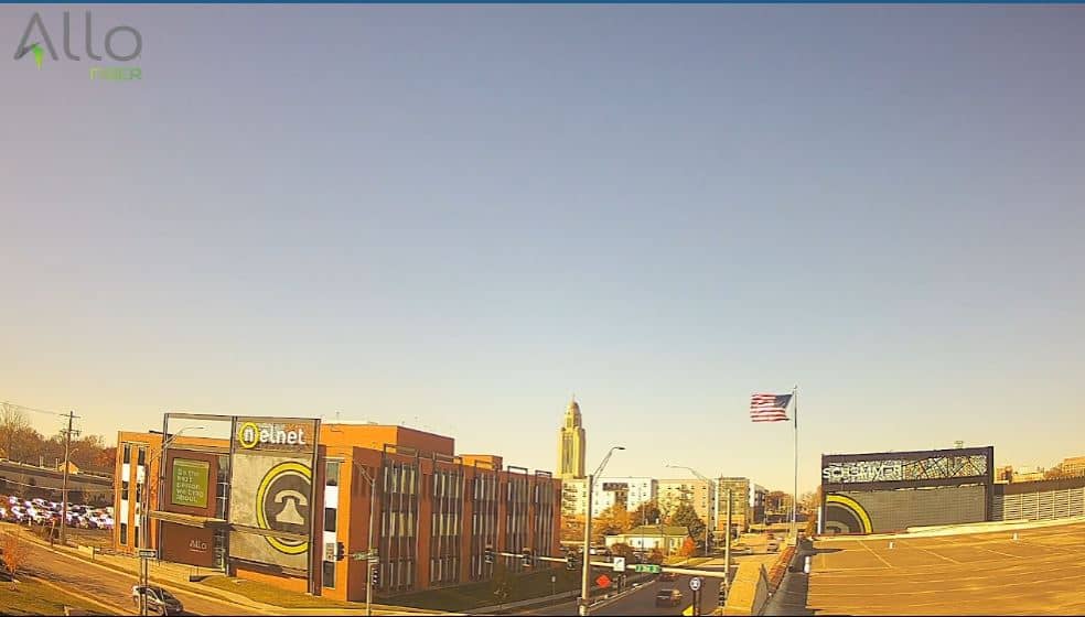
Nebraska, United States — 93 km
Nebraska, United States — 105 km
Nebraska, United States — 124 km

Nebraska, United States — 152 km

Nebraska, United States — 168 km
Nebraska, United States — 169 km
Nebraska, United States — 173 km
Nebraska, United States — 188 km
The current conditions and a 3-day forecast for Kearney are shown in the weather block on this page, updated alongside the live view.
The local time for Kearney is displayed on this page and follows the Central time zone used across this part of Nebraska.
The camera is at the Viaero Event Center in Kearney, Nebraska, at about 40.67 north and 99.09 west. The map on this page marks its location.
Daylight hours give the clearest view of the city and sky. In summer, late afternoon is often when storm clouds build over the plains, which many viewers find the most interesting.
Partner links: we may earn a commission at no extra cost to you.