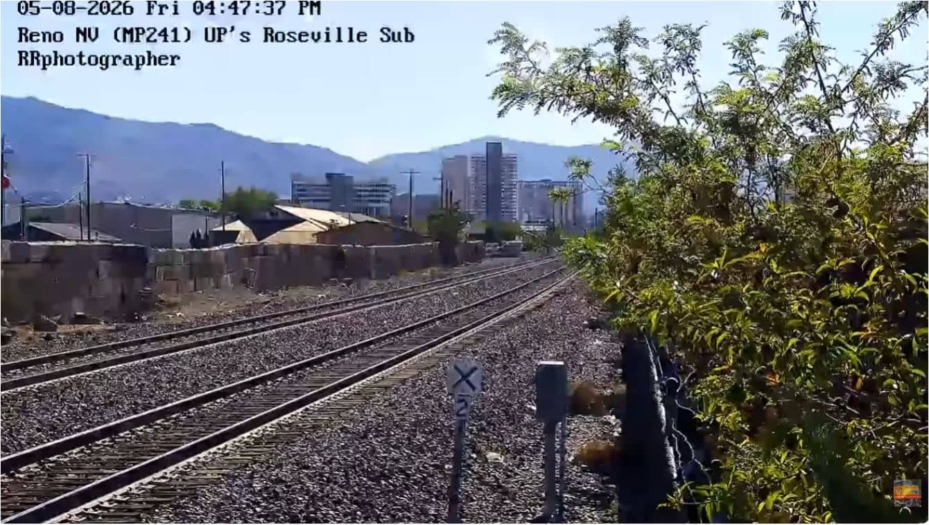
Sparks
Nevada, United States — 1.3 km
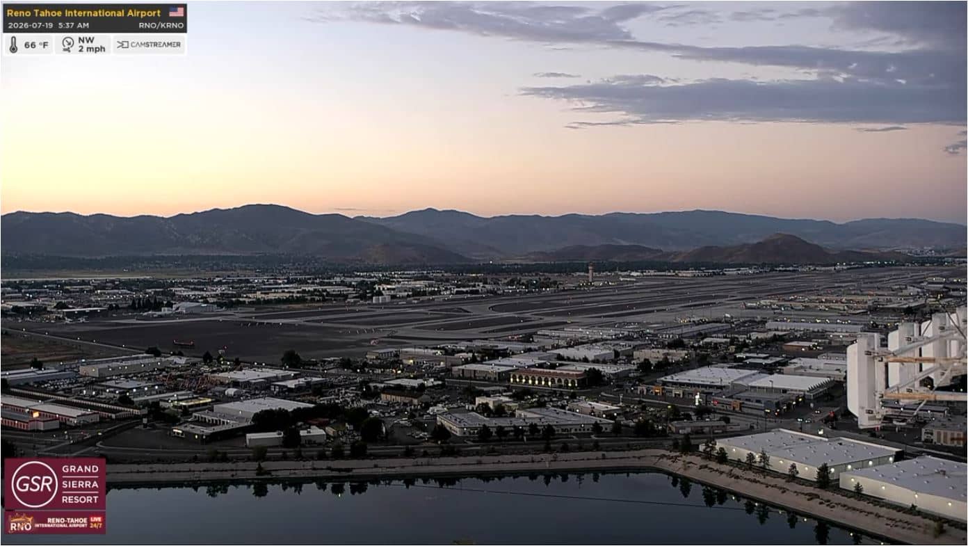
Reno - RNO
🇺🇸 Nevada · United States — Altitude 1342 m
This live stream looks out over Reno-Tahoe International Airport, the main air gateway to northern Nevada and the Lake Tahoe area. It is useful for anyone checking on arrivals, departures or simply how the weather is developing over the high desert valley.
Reno sits in a broad valley on the eastern side of the Sierra Nevada, at roughly 1,340 metres above sea level. The city is known as the Biggest Little City in the World, a nod to its casinos and its role as a gateway to outdoor country, from Lake Tahoe to the mountains of the Great Basin. The surrounding landscape is dry, open and framed by distant ridges, and the light and sky change noticeably through the day.
The view is of an airport apron and the sky above it, so the most rewarding moments are often the arrival and departure of aircraft and changes in cloud and wind. Mountain weather can move quickly here, and afternoon clouds sometimes build over the surrounding peaks. Morning and late afternoon usually give the clearest and most pleasant light for watching.
Reno has a semi-arid climate with hot, dry summers and cold winters, and snow is possible from late autumn to spring, especially in the hills. Spring and autumn are generally the most comfortable seasons. Nearby on VizCams you can compare the view in Sparks, the Reno Skyline camera and the Truckee camera, which is closer to the Sierra passes.
Source: Flightradar24DotCom
Nevada, United States — 1.3 km
Nevada, United States — 2.9 km
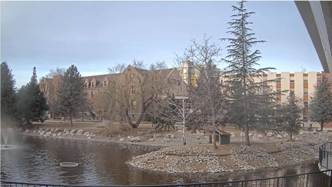
Nevada, United States — 4.1 km

Nevada, United States — 23 km

Nevada, United States — 23 km

Nevada, United States — 24 km

Nevada, United States — 24 km

Nevada, United States — 25 km

California, United States — 38 km
California, United States — 39 km
The current conditions and a three-day forecast for Reno are shown in the live weather block on this page, updated automatically from the nearest reporting data.
The local time for Reno is displayed on this page and follows the Pacific time zone used across western Nevada, with daylight saving applied where it is in effect.
The camera is at Reno-Tahoe International Airport, on the southern edge of the city, and the map on this page shows its precise position.
Daytime hours give the clearest view of aircraft movements, while sunrise and sunset bring good light and interesting cloud formations over the mountains.
Partner links: we may earn a commission at no extra cost to you.