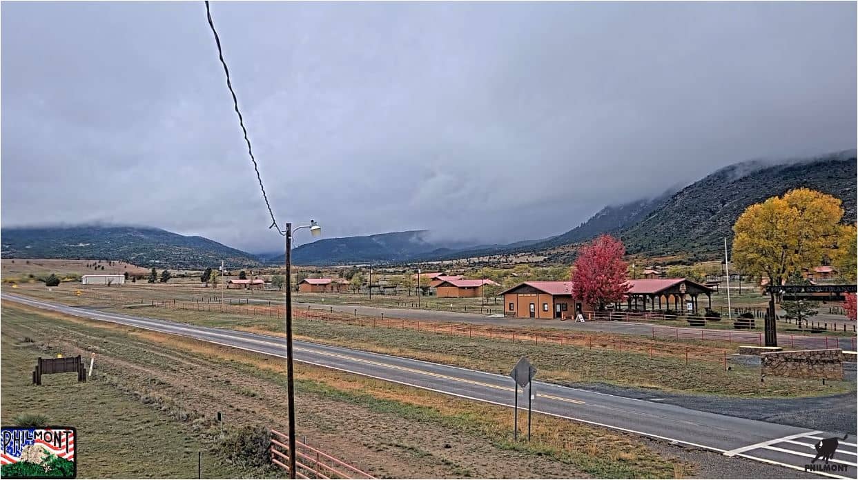
Cimarron - Philmont Scout Ranch
New Mexico, United States — 27 km
🇺🇸 New Mexico · United States — Altitude 3249 m
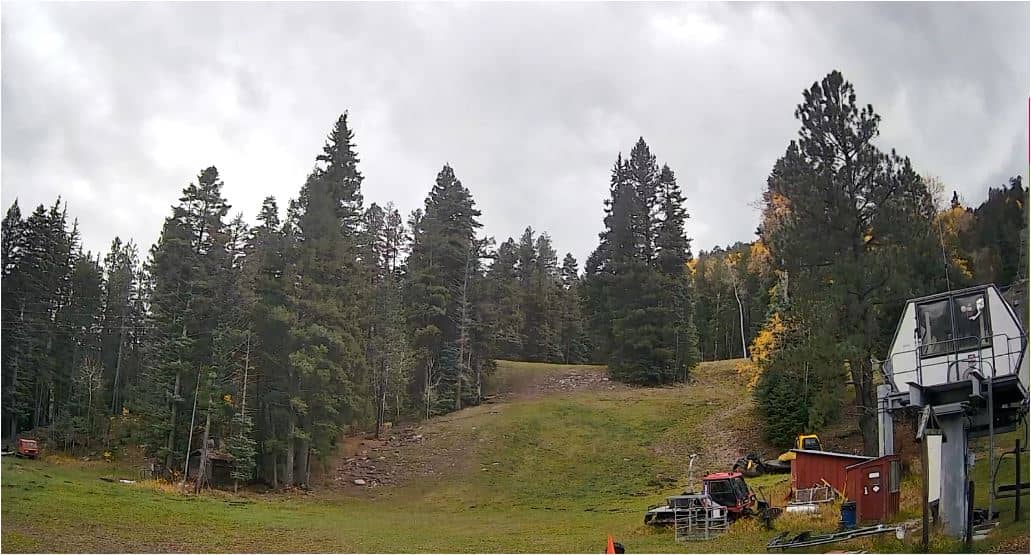
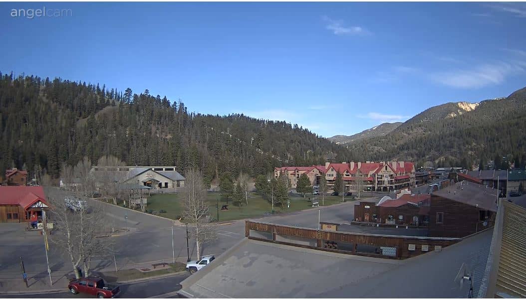
This live camera looks over Angel Fire Resort, a mountain ski and summer destination in the Sangre de Cristo range of northern New Mexico. Watch it to judge snow, cloud and light on the slopes before you travel, or simply to see how the high country is changing through the day.
Angel Fire sits at roughly 3,250 metres in the Sangre de Cristo Mountains, a range that runs along northern New Mexico and takes its name from the red glow it often shows at sunset. The village grew around its ski area and has a lively base for the cold months, while the surrounding forests, meadows and lakes draw hikers and anglers when the snow melts. The air is thin and dry, and the sky is often wide and clear.
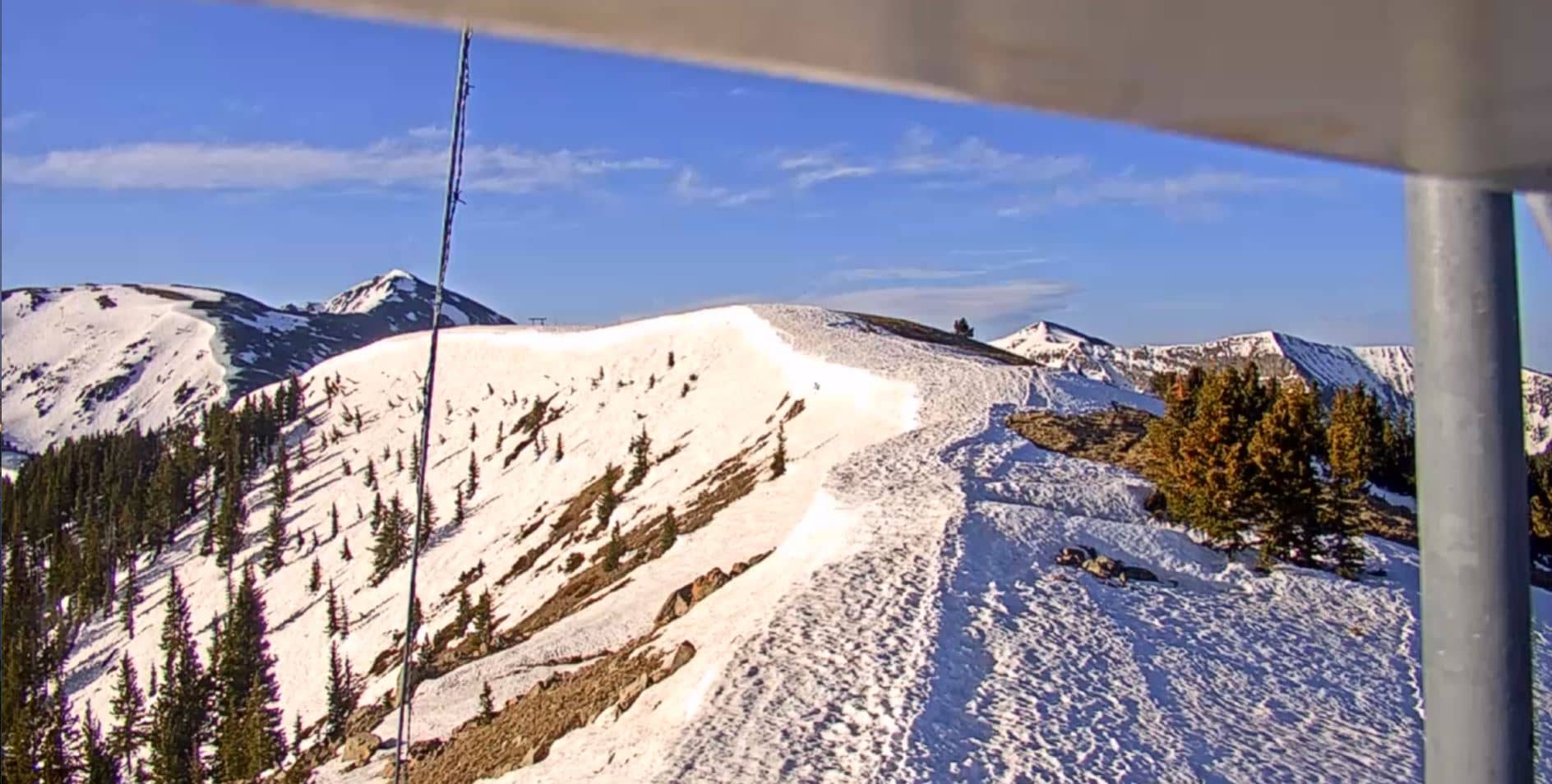
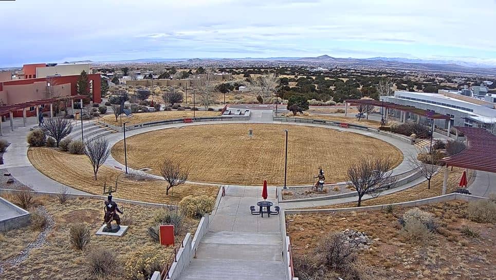
Depending on the view, the camera may show slopes, lifts, village streets or the surrounding ridges. Winter brings the clearest snow conditions and the busiest runs, while summer shows green slopes and afternoon storm clouds that often build over the peaks. Early morning and late afternoon usually give the best light on the mountains, and sudden weather changes are common at this altitude.
Winters are cold and snowy, with much of the precipitation falling between December and March, while summers are mild and sunny with cooler nights. Spring can be windy and unsettled. The nearby town of Taos, about 30 km away, is the largest settlement in the area and a good base for exploring the region. Other cameras in the area include Philmont Scout Ranch near Cimarron and the Sipapu ski area near Vadito.
Source: Angel Fire Resort webcam
New Mexico, United States — 27 km
New Mexico, United States — 30 km
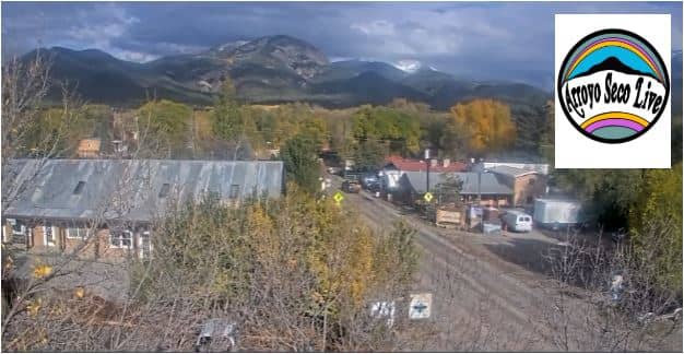
New Mexico, United States — 34 km
New Mexico, United States — 37 km
New Mexico, United States — 40 km

New Mexico, United States — 63 km
New Mexico, United States — 103 km
New Mexico, United States — 111 km
New Mexico, United States — 112 km
Colorado, United States — 153 km
The current conditions and a 3-day forecast are shown in the live weather block on this page. Because the resort is high in the mountains, temperatures and conditions can differ noticeably from nearby towns.
The local time for Angel Fire is shown on this page and updates automatically. It follows the Mountain time zone used across this part of New Mexico.
The camera is at Angel Fire Resort in Colfax County, northern New Mexico, at an elevation of about 3,250 metres. The map on this page shows its position in the Sangre de Cristo range.
Winter is best for seeing snow cover and ski activity, while summer shows green mountains and afternoon thunderstorms. Early morning and late afternoon usually offer the most pleasant light.
Partner links: we may earn a commission at no extra cost to you.