
Galax - Blue Ridge Music Center – Visitor Center
Virginia, United States — 18 km

Laurel Springs - The Bluffs on Blue Ridge Parkway
🇺🇸 North Carolina · United States — Altitude 1040 m
This camera looks out over the Blue Ridge Mountains of northwestern North Carolina, at an elevation of about 1,040 metres. It is useful for anyone wanting to see how the high country looks right now before a drive along the parkway or a mountain visit.
Laurel Springs sits in Alleghany County in the foothills of the Blue Ridge, part of the Appalachian chain that stretches down the eastern United States. The Blue Ridge Parkway follows the crest of these mountains for hundreds of miles, linking forests, overlooks and farmland. The area is known for its rolling ridges, hardwood and conifer forests, and the blue haze that gives the range its name. Local character is small-town and rural, with music and craft traditions nearby in the Galax area.
Because the camera is set on a bluff within the parkway corridor, its value lies in the sky and the ridgelines more than in any single landmark. Depending on the view, you may see layers of hills receding into haze, changing foliage through the seasons, and cloud moving across the valleys. Mornings often bring mist in the lower hollows, while clear late afternoons give the sharpest distance. Fog and low cloud can hide the view for long periods, so the live feed is the best guide to conditions.
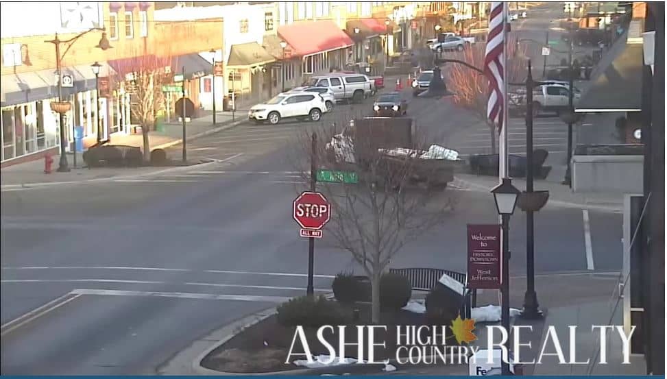
The Blue Ridge has cool summers and cold, often snowy winters, and the parkway can close after heavy snow or ice. Spring and autumn are generally the most pleasant seasons for driving and overlooks. Nearby, the Blue Ridge Music Center in Galax is a short distance away, and the West Jefferson camera at Triple Tree Lodge covers another part of the mountain region. Check the live weather on this page before setting out, as mountain conditions can change quickly.
Higher elevations of the Blue Ridge often differ from valley towns by several degrees, and wind and cloud can change within an hour. Using the live weather and three-day forecast on this page helps you judge whether the view will be clear.
Source: resortcams.com
Virginia, United States — 18 km

Virginia, United States — 18 km
North Carolina, United States — 41 km
North Carolina, United States — 41 km

North Carolina, United States — 62 km

North Carolina, United States — 63 km

North Carolina, United States — 64 km

North Carolina, United States — 64 km
North Carolina, United States — 67 km

North Carolina, United States — 68 km
The current conditions and three-day forecast for Laurel Springs are shown in the live weather block on this page. Mountain weather can differ from nearby towns, so check before you travel.
The local time for Laurel Springs, North Carolina, is shown on this page and follows Eastern Time. It updates with the live view.
The camera is on The Bluffs along the Blue Ridge Parkway near Laurel Springs in northwestern North Carolina, at roughly 36.45 north and 81.03 west, about 1,040 metres above sea level.
Clear mornings and late afternoons often give the best visibility, and autumn is popular for colourful foliage. Fog and cloud are common, so watch the live feed to see current conditions.
Partner links: we may earn a commission at no extra cost to you.