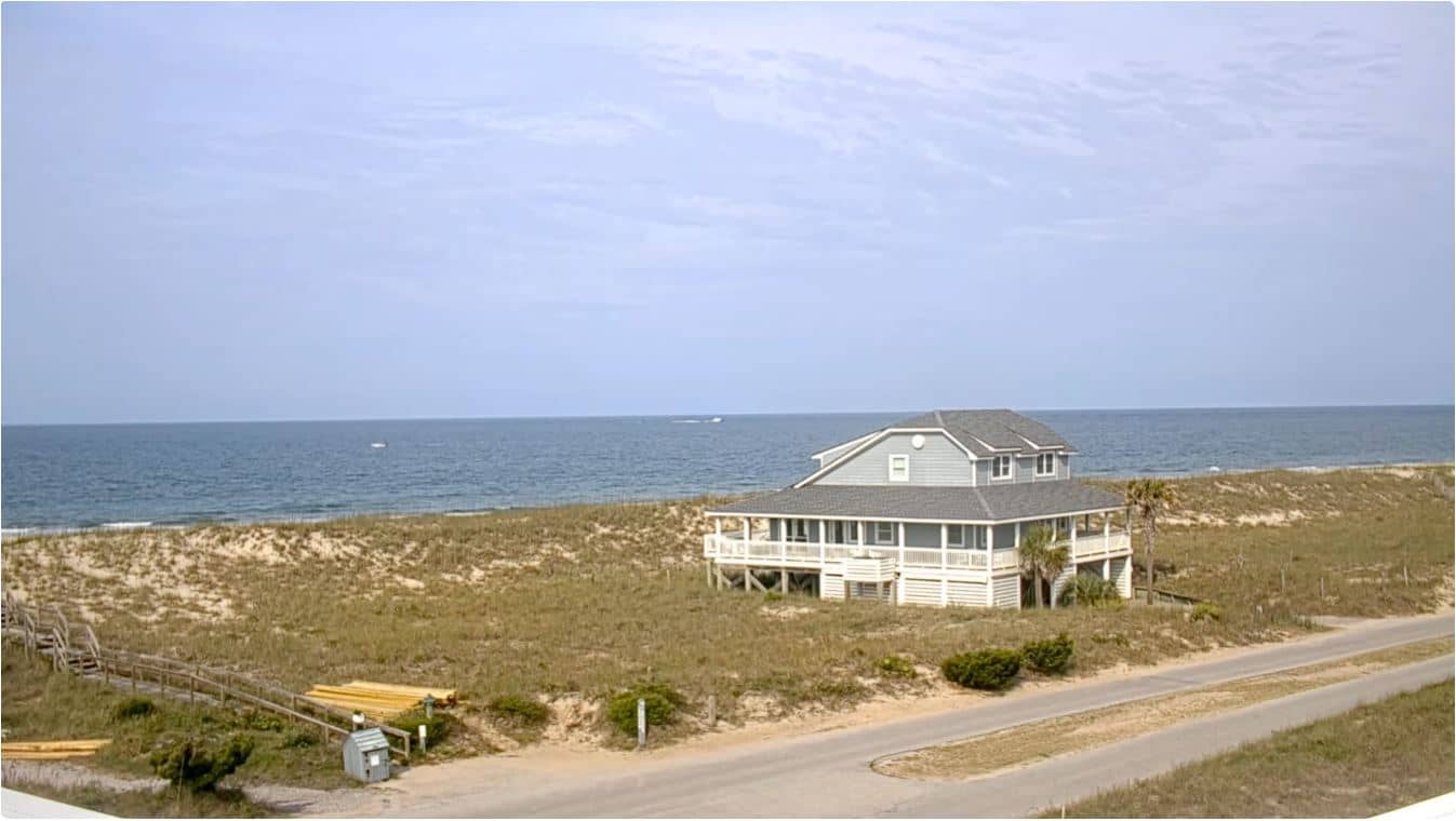
Bald Head Island - Beach Access 15
North Carolina, United States — 0 km
🇺🇸 North Carolina · United States — Altitude 4 m
This live camera looks out over Bald Head Island, a car-free barrier island at the mouth of the Cape Fear River in North Carolina. It is useful for checking the sea and sky before you plan a trip or simply for a quiet view of the Atlantic coast.
Bald Head Island sits at the southern tip of the North Carolina coast, reached only by a passenger ferry from Southport. Most of its roads are golf cart paths, and the island is known for its maritime forest, salt marshes, dunes and the historic Old Baldy lighthouse, one of the oldest on the Atlantic coast. The feel is slow and natural, shaped by tides and wind rather than traffic.
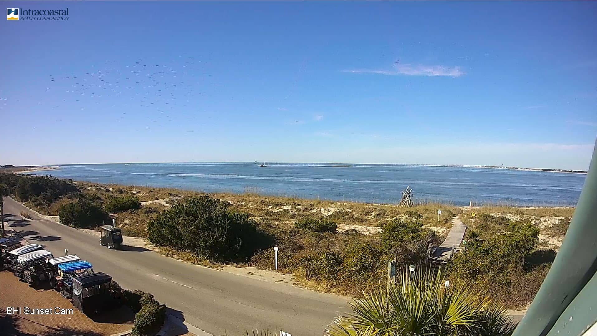
Depending on the view, you may see open water, dunes, the shoreline and changing light over the Atlantic. Mornings often bring calm water and clearer horizons, while afternoon sun and summer storms can change the scene quickly. Wind, cloud cover and tide levels are the main things that alter the picture from hour to hour.
The island has a humid subtropical climate with hot, wet summers and mild winters, and spring and autumn are often the most comfortable for visiting. Hurricane season runs from June to November, so it is worth checking forecasts before travelling. Nearby cameras include Beach Access 15 on the island, along with views from Southport, Oak Island and Carolina Beach.
Source: Bald Head Island NC webcam
North Carolina, United States — 0 km
North Carolina, United States — 6.7 km
North Carolina, United States — 6.8 km
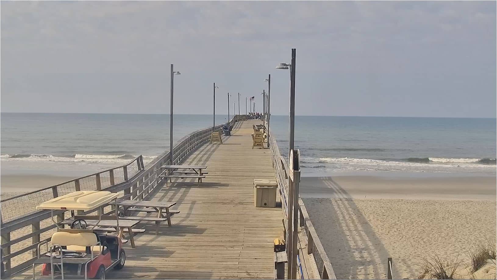
North Carolina, United States — 8.9 km
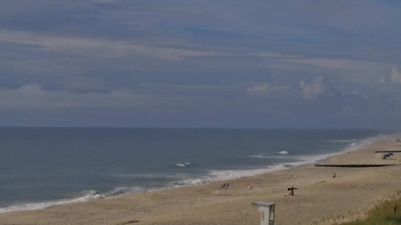
North Carolina, United States — 18 km
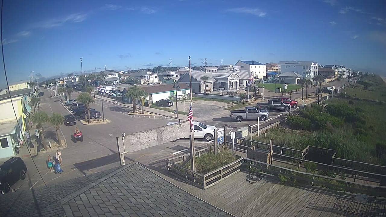
North Carolina, United States — 18 km
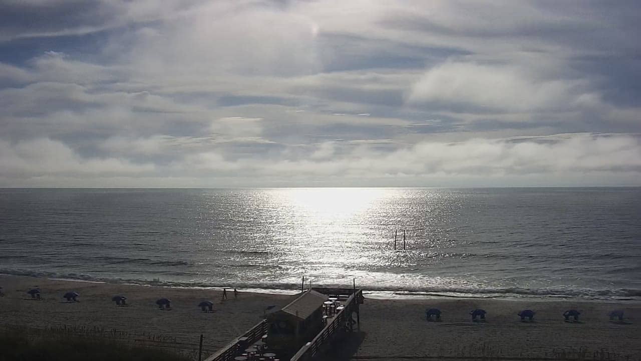
North Carolina, United States — 20 km
North Carolina, United States — 22 km
North Carolina, United States — 23 km
North Carolina, United States — 26 km
The current conditions and the three-day forecast are shown in the live weather block on this page, updated automatically for the island.
The local time is displayed on the page and follows the Eastern time zone used across the North Carolina coast.
The map on this page marks the camera location at the southern tip of the North Carolina coast, at the mouth of the Cape Fear River.
Mornings and late afternoons usually offer the softest light, while calm weather in spring and autumn tends to give the clearest views of the water.
Partner links: we may earn a commission at no extra cost to you.