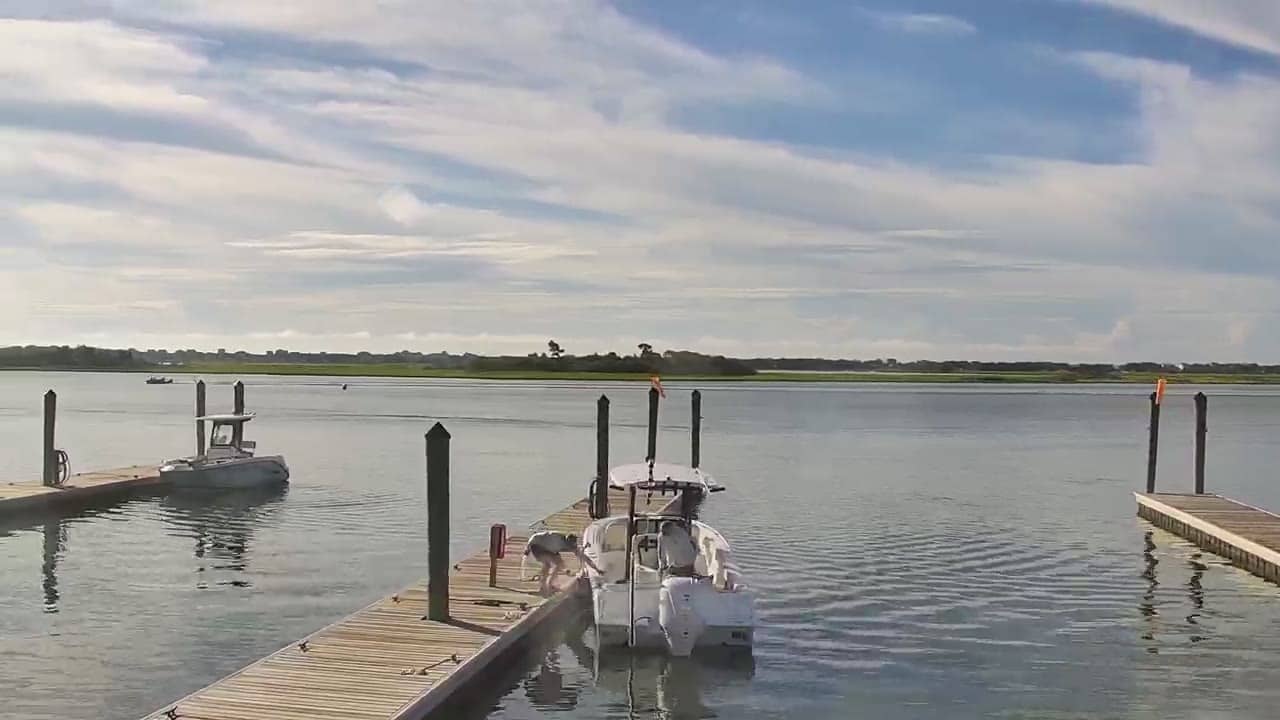
Hampstead - Sloop Point
North Carolina, United States — 0.9 km
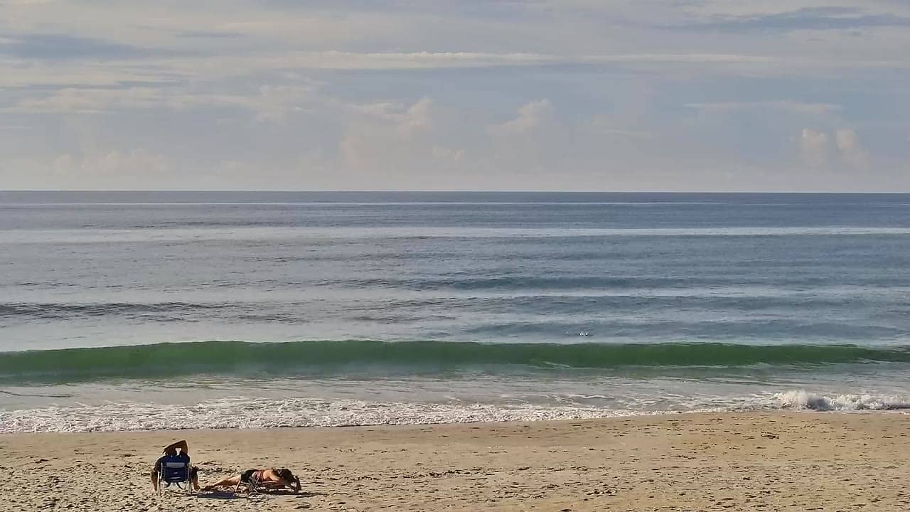
🇺🇸 North Carolina · United States — Altitude 4 m
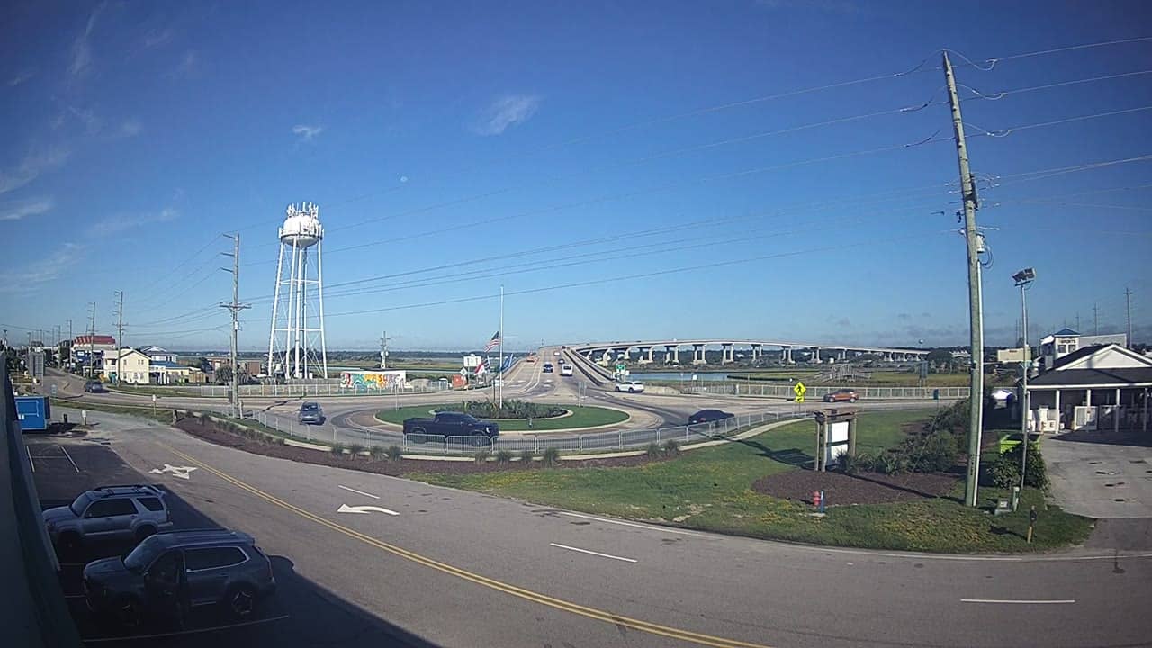
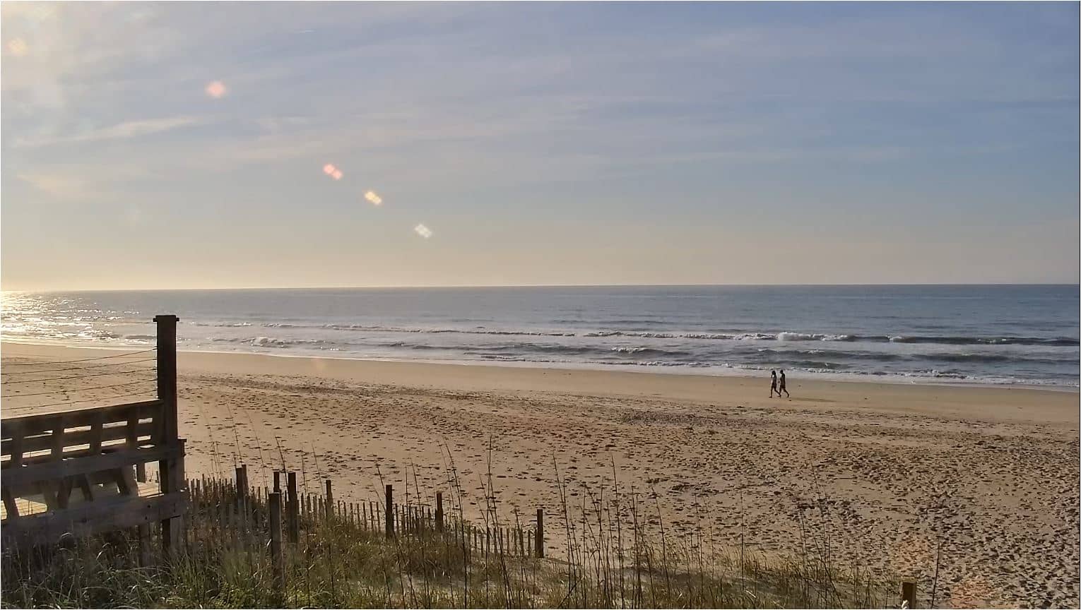
This live feed looks out over Surf City, a barrier island town on the North Carolina coast. It suits anyone wondering how the surf and sky look right now before a trip, or simply wanting a window onto the Atlantic shoreline. The player below runs directly from the source, with local time and weather alongside.
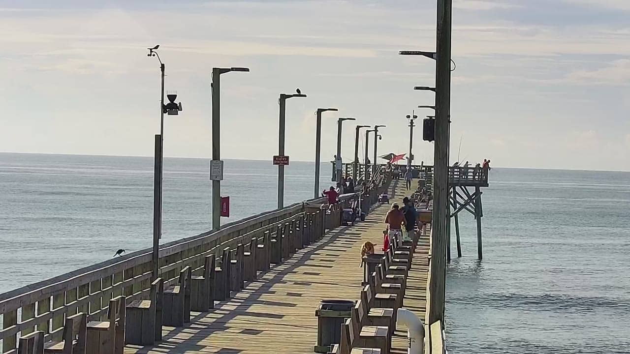
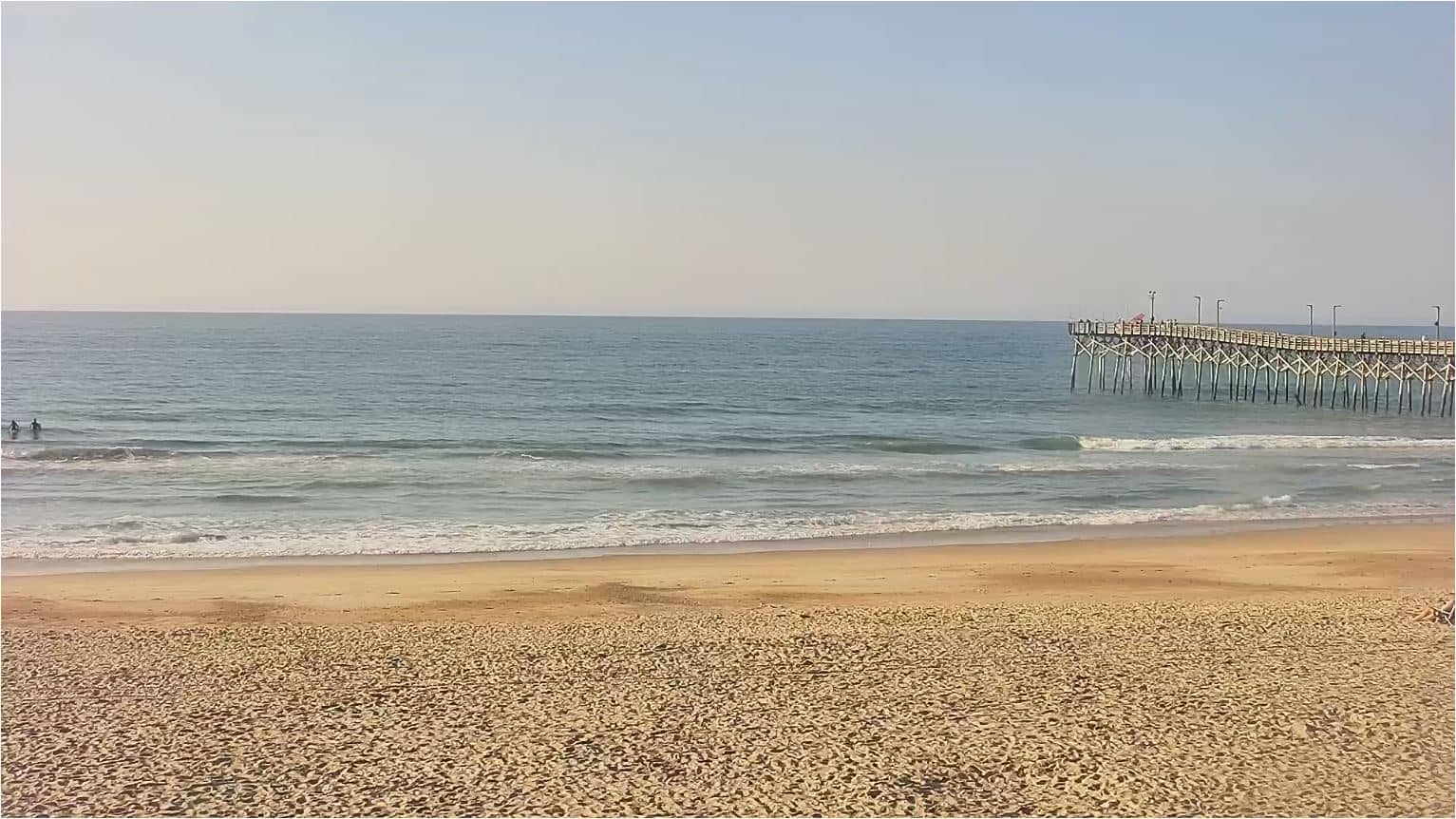
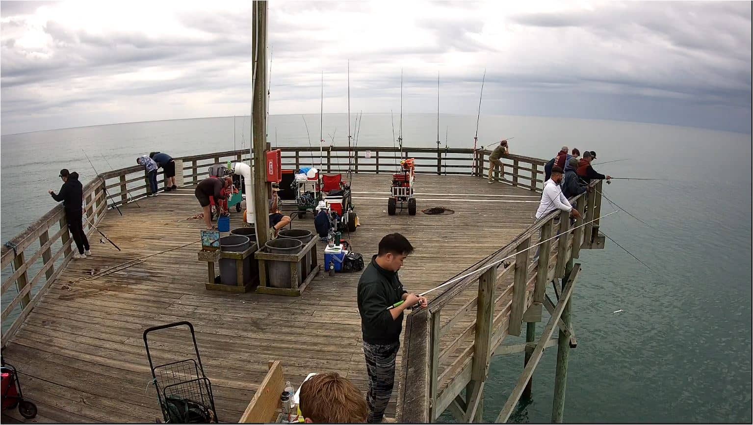
Surf City sits on Topsail Island, a long, narrow barrier island off the southeastern coast of North Carolina. The island is known for its wide sandy beaches, quiet residential streets and a long wooden fishing pier that reaches out over the Atlantic. Life here moves at a relaxed pace, shaped by tides, boat traffic on the sound and the seasonal rhythm of visitors who come for swimming, surfing and fishing.
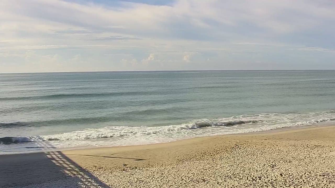
The title points to a city line view, so the frame is likely to include the shoreline and the beachfront buildings that line the island. Conditions change with the tide and the wind, and early morning often brings calmer water and softer light. Late afternoon can be just as interesting, when the sun sits low over the ocean. Check the weather block on this page before you watch, since clouds and rain will change what you see.
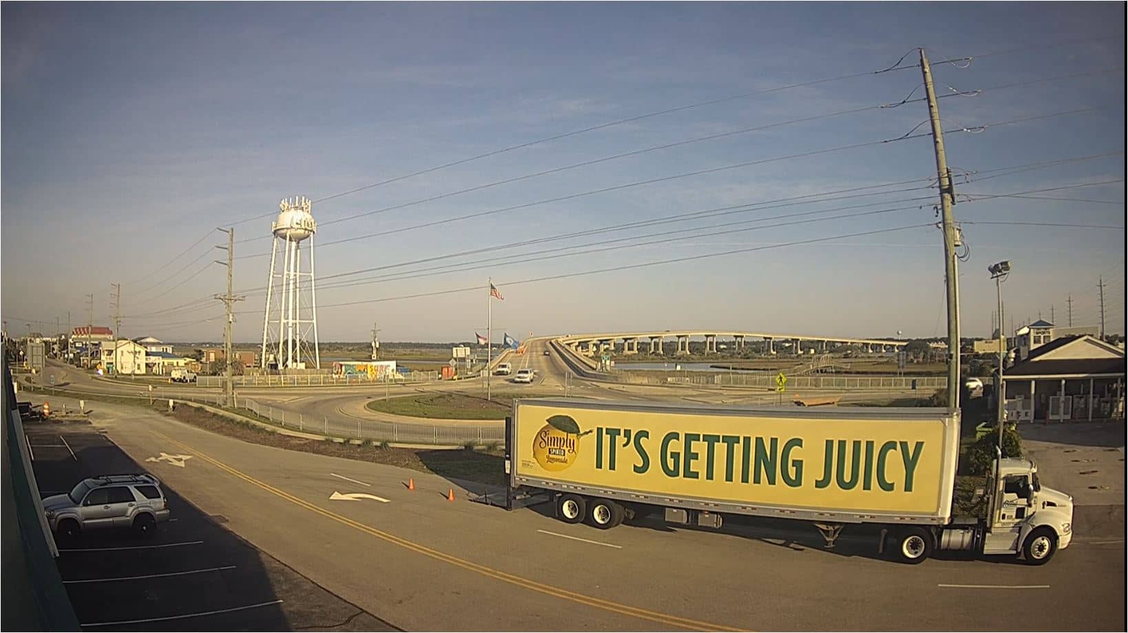
Summers are warm and humid, with afternoon thunderstorms common, while spring and autumn offer milder air and comfortable water temperatures for many visitors. Surf City is reached by road over the bridge from the mainland, and the island is small enough to get around on foot or by bike. Nearby cameras on the Surf City pier and at Hampstead's Sloop Point let you compare conditions along the coast.
Source: surfchex.com
North Carolina, United States — 0.9 km
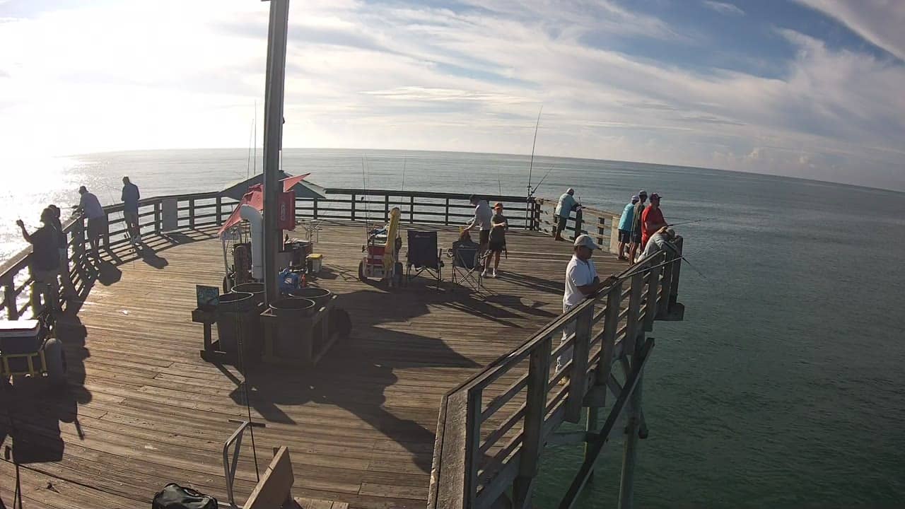
North Carolina, United States — 1.4 km
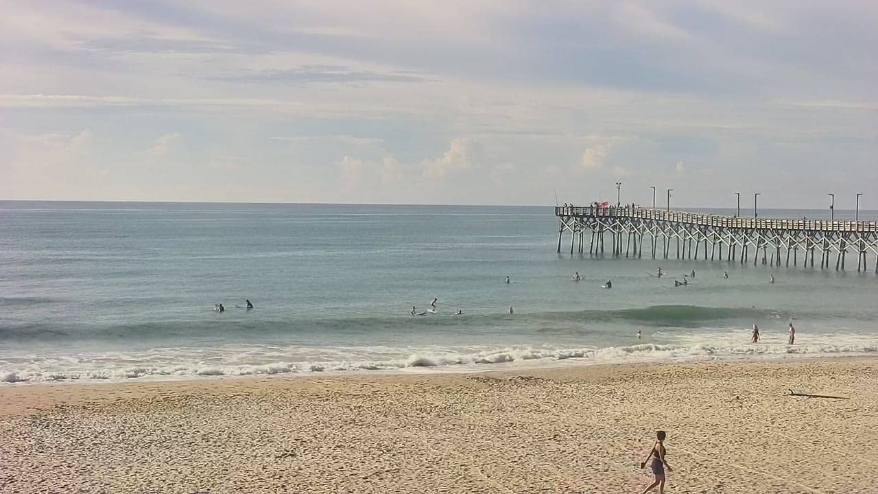
North Carolina, United States — 1.4 km
North Carolina, United States — 1.4 km
North Carolina, United States — 1.4 km
North Carolina, United States — 1.5 km
North Carolina, United States — 1.5 km
North Carolina, United States — 1.6 km
North Carolina, United States — 1.7 km
North Carolina, United States — 2.9 km
The current conditions and the three-day forecast are shown in the weather block on this page. They update with the live data, so you can check temperature, wind and rain before watching the beach.
The local time is displayed on this page and follows the Eastern time zone used across the North Carolina coast. It is updated continuously so you can match the light on the beach to the hour.
The camera is on Topsail Island in North Carolina, United States, at about 34.44 degrees north and 77.54 degrees west. A map on this page marks its location so you can see the surrounding coastline.
Early morning and late afternoon usually give the clearest light and calmer water, though this depends on weather and tide. Clear days in late spring and early autumn are often the most pleasant to watch.
Partner links: we may earn a commission at no extra cost to you.