
Waynesville - NC
North Carolina, United States — 0.1 km

Waynesville - Mountain Credit Union
🇺🇸 North Carolina · United States — Altitude 840 m
This live camera looks out over Waynesville, a small town in the Haywood County hills of western North Carolina, at about 840 metres above sea level. It is useful for seeing current conditions in the Blue Ridge foothills before you travel or head out for the day.
Waynesville sits in the Balsam Mountains region of the Appalachians, a short drive from the Great Smoky Mountains National Park. The town is known for its historic Main Street, craft shops and restaurants, and for being a gateway to the surrounding forests, rivers and ridgelines. The landscape is green and rolling, with valleys that often fill with mist in the morning.
The view is most informative when you want to judge mountain weather, such as cloud cover lifting off the ridges, fog in the valleys or changing light across the hills. Mornings and late afternoons usually give the clearest sense of atmosphere. Seasonal change is strong here, so autumn colours and winter snow cover can look very different from one week to the next, depending on the view.
The area has warm, humid summers and cool to cold winters, with the higher elevations usually a few degrees cooler than the valley floor. Spring and autumn are popular for hiking and scenic drives. Several other cameras in the nearby Maggie Valley and Cataloochee area are listed on this page, which can help you compare conditions across the mountains.
Source: resortcams.com
North Carolina, United States — 0.1 km

North Carolina, United States — 12 km

North Carolina, United States — 12 km

North Carolina, United States — 12 km

North Carolina, United States — 13 km

North Carolina, United States — 14 km
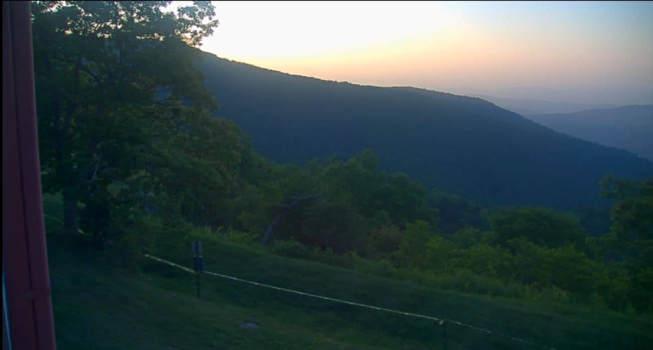
North Carolina, United States — 23 km
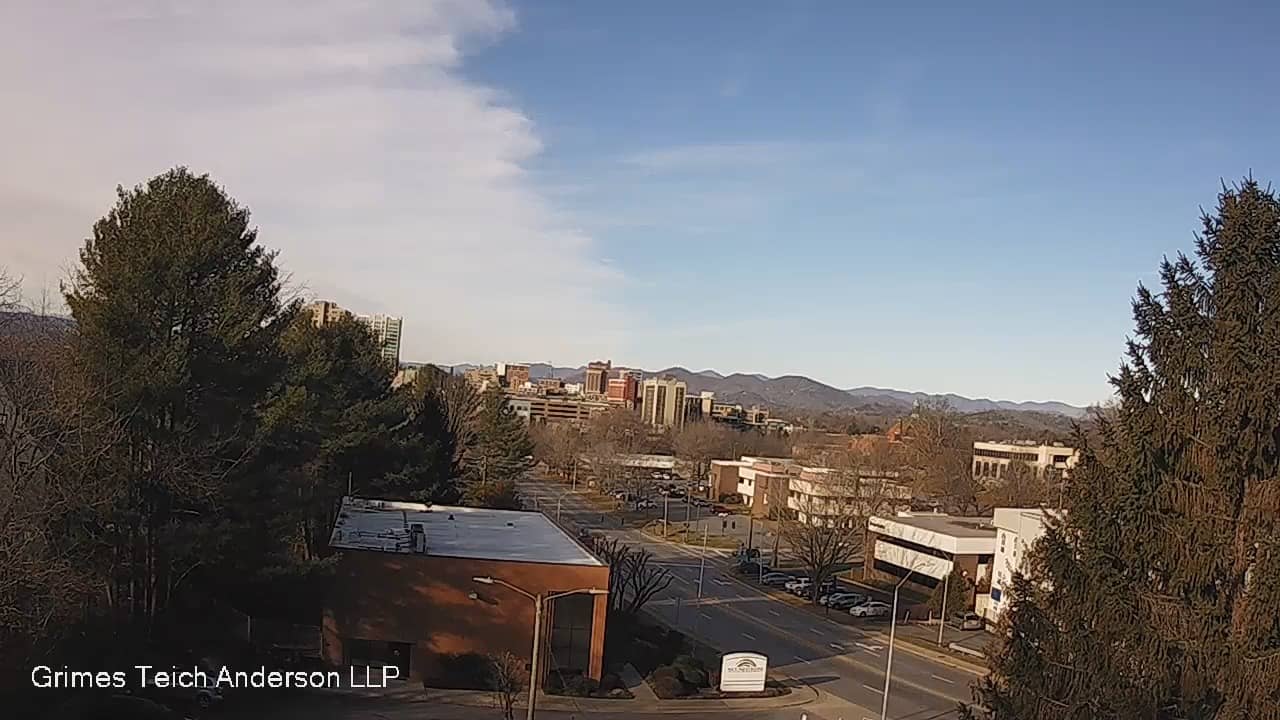
North Carolina, United States — 31 km

North Carolina, United States — 37 km
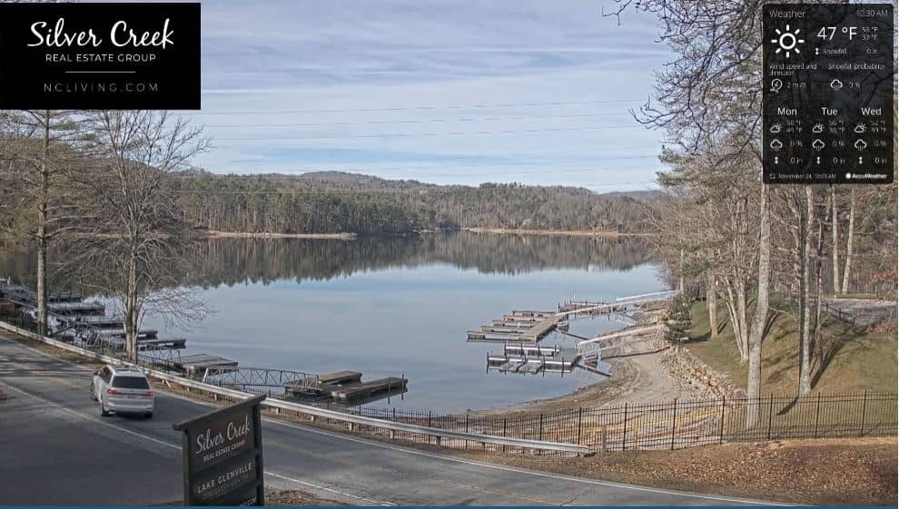
North Carolina, United States — 38 km
The current conditions and a 3-day forecast are shown in the live weather block on this page, updated for Waynesville. Check it before planning outdoor activities in the mountains.
The local time for Waynesville is displayed on this page and follows the Eastern time zone used across most of North Carolina, including daylight saving changes.
The camera is in Waynesville, Haywood County, North Carolina, at approximately 840 metres altitude. The map on this page shows its position in the town.
Early mornings often show mist and cloud in the valleys, while late afternoons give good light. Seasonal changes such as autumn colours or winter snow are also worth checking.
Partner links: we may earn a commission at no extra cost to you.