Monroeville - Swan, Swamp & Sky
Ohio, United States — 0 km
Monroeville - Ohio Turnpike Trucking Scene
🇺🇸 Ohio · United States — Altitude 220 m
This live camera looks out over a stretch of the Ohio Turnpike near Monroeville, a small community in north-central Ohio. It suits anyone curious about highway traffic, freight movement or simply what the road looks like right now before a drive.
Monroeville sits in Huron County in the flat, farmed country of northern Ohio, a short distance south of Lake Erie. The Ohio Turnpike is one of the state's main east-west routes and carries a heavy share of long-distance truck traffic between the Great Lakes region and the rest of the country. The landscape around the road is mostly agricultural, with fields, scattered farmsteads and small towns.
The title points to trucks on the turnpike, so this is a view of commercial traffic rather than a scenic vista. Truck flow tends to be steadiest during weekday daytime hours, while late evenings and early mornings usually bring lighter traffic. Weather matters here: rain, snow or fog can change how the road looks and how vehicles move, which makes the live feed useful for checking conditions.
Northern Ohio has a continental climate with cold, snowy winters and warm, humid summers. Spring and autumn are generally mild and pleasant for travel, though lake-effect weather can bring sudden changes. Monroeville is best reached by car, and the nearby cameras listed on this page, including Lorain, Elyria and Mansfield, cover other parts of the region.
Source: myearthcam.com
Ohio, United States — 0 km

Ohio, United States — 45 km

Ohio, United States — 47 km

Ohio, United States — 47 km

Ohio, United States — 47 km

Ohio, United States — 47 km

Ohio, United States — 47 km
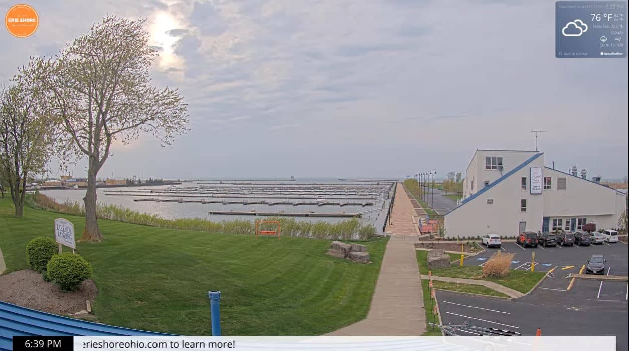
Ohio, United States — 50 km

Ohio, United States — 51 km
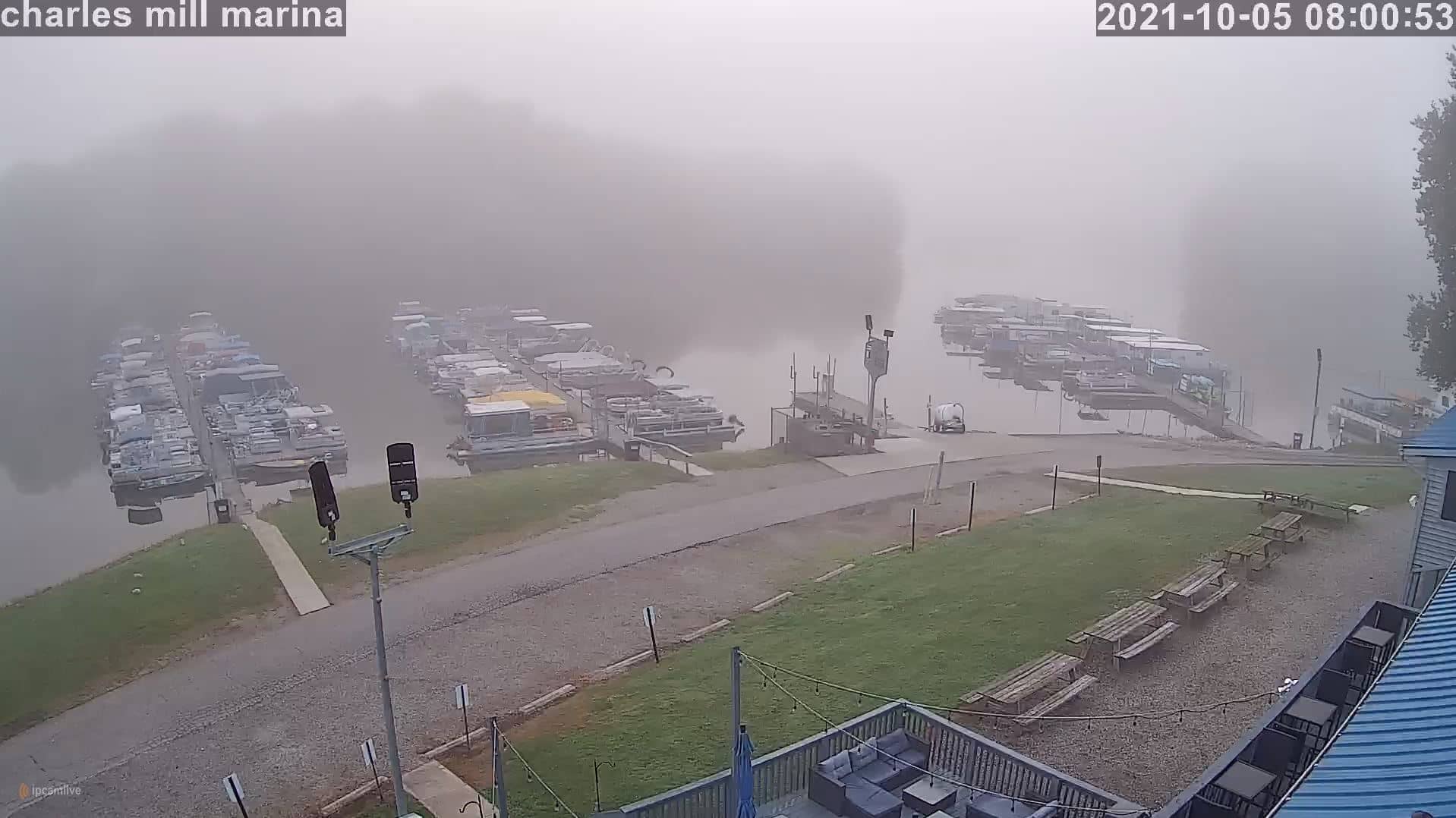
Ohio, United States — 60 km
The current conditions and a three-day forecast for Monroeville are shown in the live weather block on this page, updated alongside the camera view.
The local time for Monroeville is displayed on this page. Monroeville follows Eastern Time in the United States.
The camera is near Monroeville in Ohio, and the map on this page shows its position along the Ohio Turnpike area in the north of the state.
Weekday daytime usually shows the most truck traffic. Weather such as rain, snow or fog can also make the scene more interesting to watch.
Partner links: we may earn a commission at no extra cost to you.