Philadelphia - Critter Sanctuary
Pennsylvania, United States — 0.6 km
🇺🇸 Pennsylvania · United States — Altitude 5 m
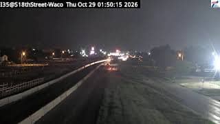
This live camera looks at a city road junction in Philadelphia, Pennsylvania. The title places it on the I-35 corridor at S 18th Street, so it suits anyone checking traffic flow, road conditions or simply what a typical American city street looks like right now. The page adds local time and weather so you can read the view in context.
Philadelphia is the largest city in Pennsylvania and one of the oldest in the United States, known for its colonial-era history, its row houses and a dense network of neighborhoods. The city sits where the Delaware and Schuylkill rivers meet, at low elevation close to sea level. The camera's title refers to an interstate route and a cross street, which points to an urban traffic setting rather than a landmark view.
Because the title names a road and an intersection, the stream is most useful for following vehicle movement, signal changes and daytime traffic patterns. Morning and late afternoon rush hours tend to show the busiest flow, while late evenings are usually quieter. Weather matters here, since rain and snow change visibility and braking. The exact view depends on the camera angle, so use the live player to judge what is currently in frame.
Philadelphia has a humid continental climate with warm, humid summers and cold winters with occasional snow, while spring and autumn are generally mild. Those seasons are the most comfortable for walking and sightseeing in the city. Other cameras in the wider area are listed on this page, including views near the international airport and a stadium complex, which can help you compare conditions across the region.
Source: CamStreamer
Pennsylvania, United States — 0.6 km
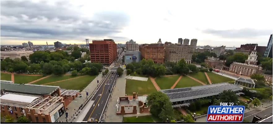
Pennsylvania, United States — 1.6 km
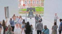
Pennsylvania, United States — 1.8 km
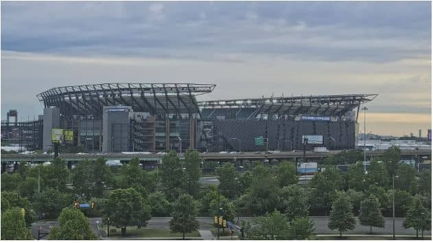
Pennsylvania, United States — 6.3 km
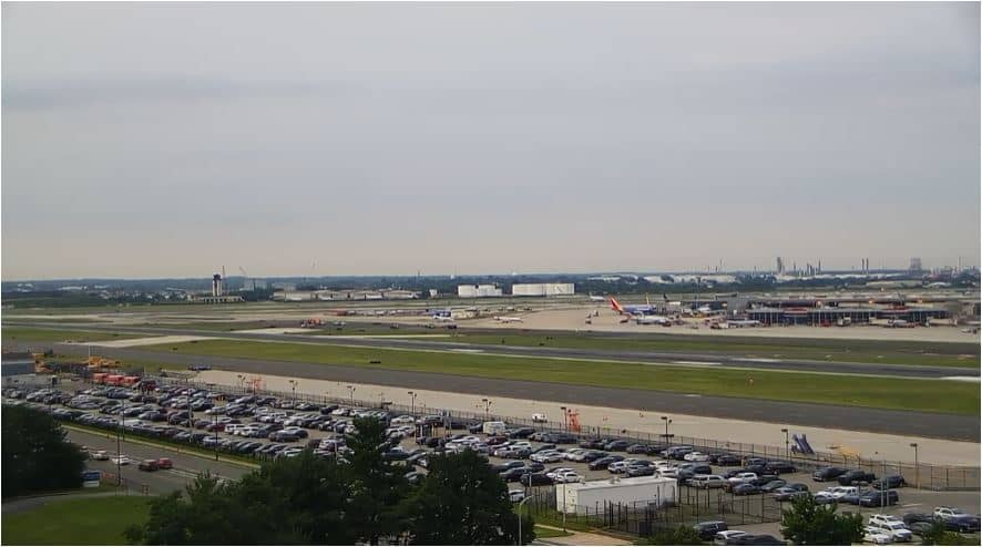
Pennsylvania, United States — 8.8 km
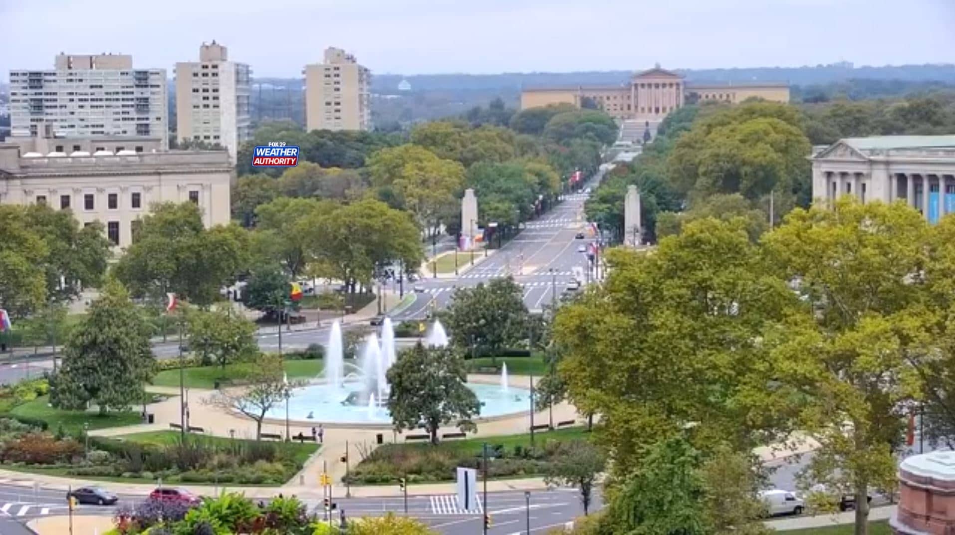
Pennsylvania, United States — 9.4 km
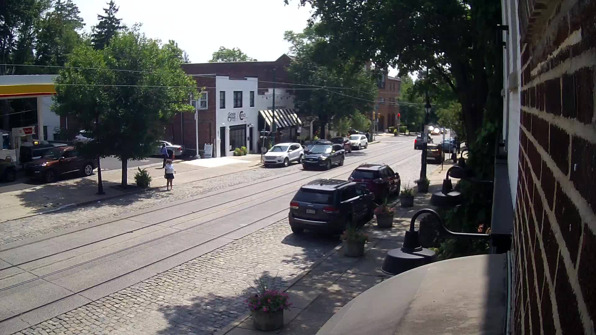
Pennsylvania, United States — 14 km
Pennsylvania, United States — 24 km

Pennsylvania, United States — 25 km
Pennsylvania, United States — 27 km
The current conditions and a three-day forecast for this location are shown in the weather block on this page. The values update with the latest data, so check there rather than relying on older information.
The local time for Philadelphia is displayed on this page and follows the Eastern time zone used on the US East Coast. It adjusts for daylight saving time automatically.
The camera is on I-35 at S 18th Street in Philadelphia, Pennsylvania. The map on this page shows its position so you can see the surrounding streets.
Weekday rush hours in the morning and late afternoon usually show the most traffic. Clear daytime conditions give the clearest view, and rain or snow can make the scene harder to read.
Partner links: we may earn a commission at no extra cost to you.