Mount Pleasant - WeatherCam
South Carolina, United States — 4.8 km
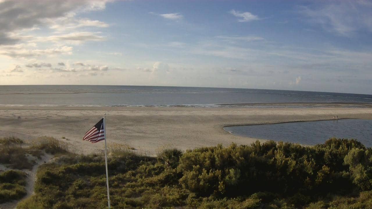
Sullivan’s Island - Plage de
🇺🇸 South Carolina · United States — Altitude 2 m
This live camera looks out over the beach at Sullivan's Island, a narrow barrier island at the entrance to Charleston Harbor. It is a quick way to check how the surf and sky look before heading to the coast. The page also shows local time and the weather outlook for the area.
Sullivan's Island sits on the Atlantic side of Charleston, South Carolina, separated from the mainland by marshes and tidal creeks. It is a small residential town known for its quiet, low-rise character, its historic fort at the harbor entrance and its long sandy shoreline. The island has a relaxed pace that many visitors associate with the older Lowcountry coast.
The camera is listed as a beach view, so it is most useful for judging the sea state, wind and general beach conditions at a glance. Depending on the angle, you may see the waves, the dunes and people on the sand. Mornings often bring calmer water and softer light, while afternoons in summer can be busier. Clouds and storms move quickly along this coast, so checking the view just before you go is worthwhile.
The Charleston coast has a humid subtropical climate, with hot, muggy summers and mild winters. Late spring and early autumn are often the most comfortable months for time on the sand. Nearby cameras cover Mount Pleasant, Charleston Harbor and Folly Beach, which makes it easy to compare conditions along the coast before you travel.
Source: thesurfersview.com
South Carolina, United States — 4.8 km
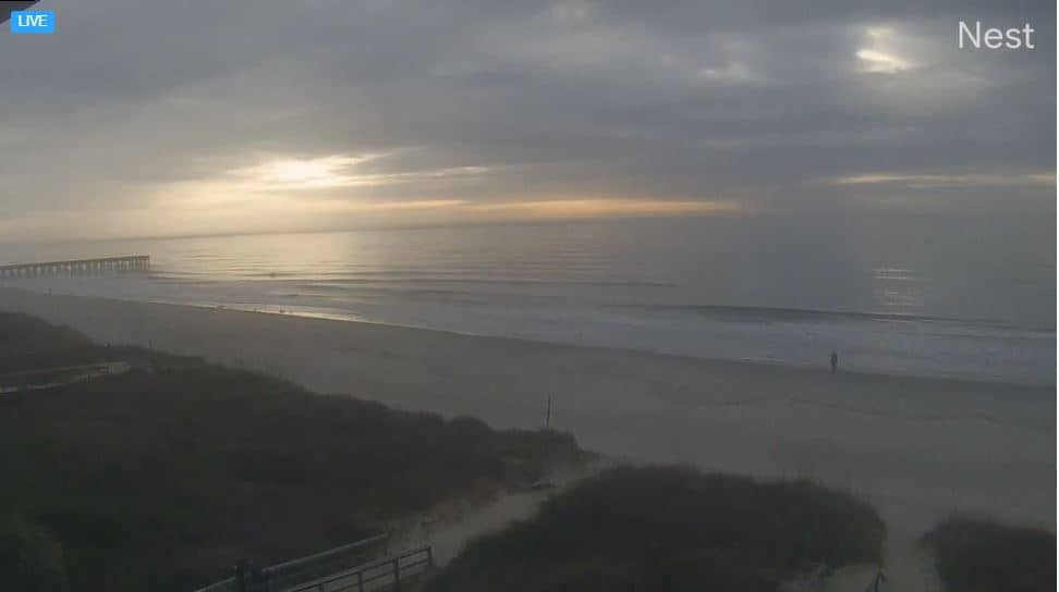
South Carolina, United States — 8.6 km
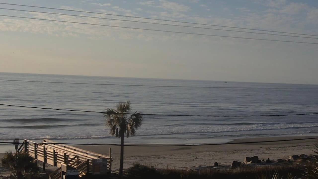
South Carolina, United States — 13 km
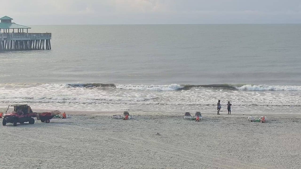
South Carolina, United States — 15 km
South Carolina, United States — 30 km
South Carolina, United States — 33 km
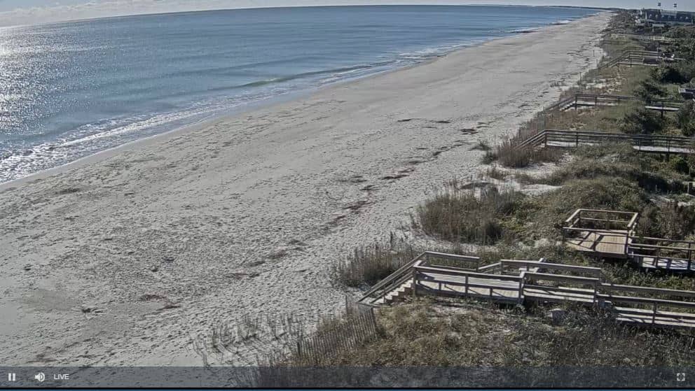
South Carolina, United States — 100 km

South Carolina, United States — 100 km
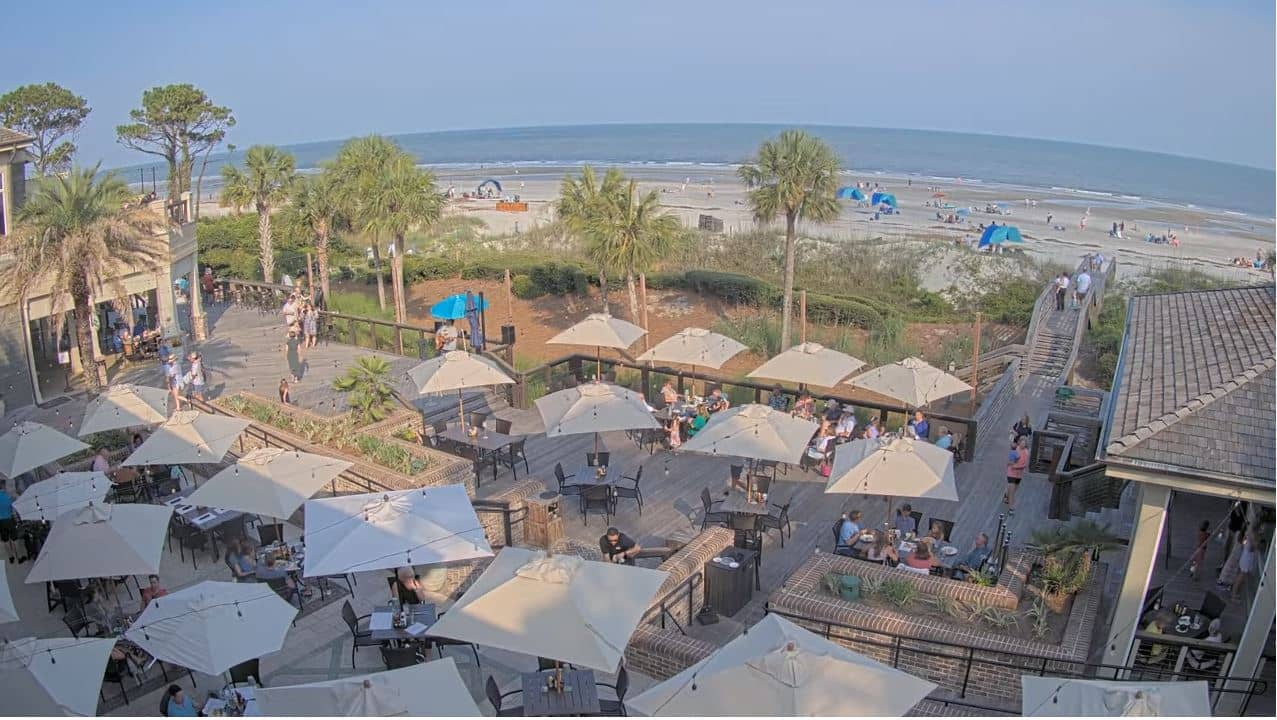
South Carolina, United States — 101 km

South Carolina, United States — 116 km
The current conditions and a three-day forecast for Sullivan's Island are shown in the live weather block on this page, updated automatically.
The local time for Sullivan's Island, on the Eastern time zone, is displayed on this page and updates continuously.
The camera is located on Sullivan's Island near Charleston, South Carolina, at approximately 32.76 north and 79.84 west. The map on this page marks its position.
Early mornings and late afternoons usually offer the clearest light and calmer water. Weather changes quickly on this coast, so the live view is the best guide on any given day.
Partner links: we may earn a commission at no extra cost to you.